Joe's Plantation
Wood, Forest in Norfolk South Norfolk
England
Joe's Plantation

The requested URL returned error: 429 Too Many Requests
If you have any feedback on the listing, please let us know in the comments section below.
Joe's Plantation Images
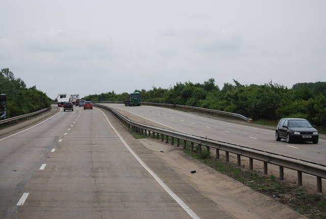
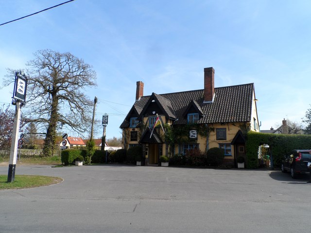
Images are sourced within 2km of 52.528303/1.1071221 or Grid Reference TM1096. Thanks to Geograph Open Source API. All images are credited.


Joe's Plantation is located at Grid Ref: TM1096 (Lat: 52.528303, Lng: 1.1071221)
Administrative County: Norfolk
District: South Norfolk
Police Authority: Norfolk
What 3 Words
///styled.accented.stepping. Near Attleborough, Norfolk
Nearby Locations
Related Wikis
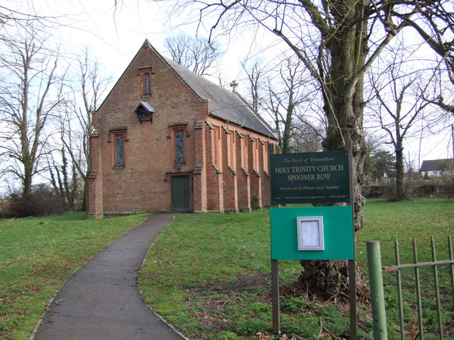
Spooner Row
Spooner Row is a small village, and civil parish, in the English county of Norfolk. It is situated some 5 km (3.1 mi) south-west of the town of Wymondham...

Spooner Row railway station
Spooner Row railway station is on the Breckland line in the East of England, serving the small village of Spooner Row, Norfolk. The line runs between Cambridge...

Tacolneston transmitting station
The Tacolneston transmitting station is a facility for both analogue and digital VHF/FM radio and UHF television transmission near Tacolneston, 11 miles...

Bunwell
Bunwell is a parish (population 1024) situated in the county of Norfolk, England, approximately 7 miles south-east of Attleborough. The parish includes...
Related Videos

International space station filmed over Spooner Row Wymondham 🇬🇧
Spacestation #uk.


Colas Rail 56090 Horns and rattles through Spooner Row
Colas Rail 56090+56302 waking up the residents of Spooner Row with a few tones from the driver, returning with 21 emtpy ...
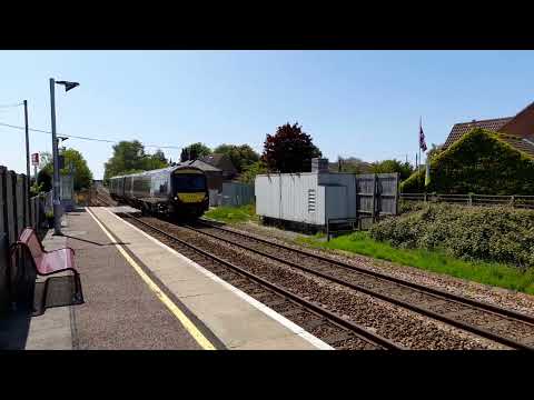
EMR 2 car unit 170508 seen passing through spooner row on 27/5/2023
1L08 11.33AM NOTTINGHAM TO NORWICH EMR 2 car unit 170508 seen passing through spooner row at 2.02pm on 27/5/2023.
Nearby Amenities
Located within 500m of 52.528303,1.1071221Have you been to Joe's Plantation?
Leave your review of Joe's Plantation below (or comments, questions and feedback).