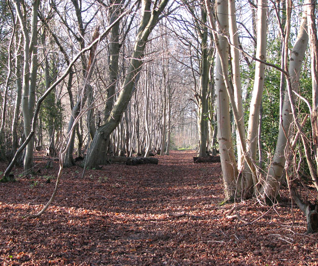
Clarke's Plantation
Wood, Forest in Norfolk South Norfolk
England
Clarke's Plantation

Clarke's Plantation, located in Norfolk County, Virginia, is a historical site that dates back to the colonial period. The plantation is nestled in a wooded area, surrounded by lush forests, which contribute to its serene and picturesque ambiance.
Covering an expansive area, Clarke's Plantation is known for its well-preserved manor house, which was originally built in the early 18th century. The manor house showcases traditional colonial architecture, with its red-brick exterior and white trim. The interior of the house is adorned with period furnishings and artwork, providing visitors with a glimpse into the lifestyle of the plantation's original inhabitants.
The plantation's grounds feature beautifully manicured gardens, where a variety of native and exotic plants thrive. The gardens offer a tranquil retreat, with winding pathways, decorative fountains, and vibrant flower beds. Additionally, the plantation boasts a small orchard, where fruit trees such as apple, peach, and pear can be found.
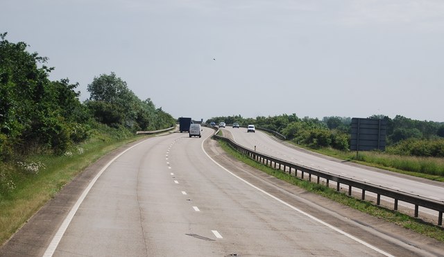
Visitors to Clarke's Plantation can also explore the surrounding forests, which are teeming with biodiversity. The dense woodlands provide a habitat for various wildlife species, including deer, rabbits, and a diverse array of bird species. Nature enthusiasts can enjoy walking trails through the forest, immersing themselves in the natural beauty and tranquility that the plantation offers.
Overall, Clarke's Plantation in Norfolk is a captivating historical site that provides visitors with an opportunity to delve into the region's colonial past, while also enjoying the serene beauty of its natural surroundings.
If you have any feedback on the listing, please let us know in the comments section below.
Clarke's Plantation Images
Images are sourced within 2km of 52.530253/1.1072008 or Grid Reference TM1097. Thanks to Geograph Open Source API. All images are credited.


Clarke's Plantation is located at Grid Ref: TM1097 (Lat: 52.530253, Lng: 1.1072008)
Administrative County: Norfolk
District: South Norfolk
Police Authority: Norfolk
What 3 Words
///banana.squeezed.tucked. Near Attleborough, Norfolk
Nearby Locations
Related Wikis
Spooner Row
Spooner Row is a small village, and civil parish, in the English county of Norfolk. It is situated some 5 km (3.1 mi) south-west of the town of Wymondham...

Spooner Row railway station
Spooner Row railway station is on the Breckland line in the East of England, serving the small village of Spooner Row, Norfolk. The line runs between Cambridge...

Tacolneston transmitting station
The Tacolneston transmitting station is a facility for both analogue and digital VHF/FM radio and UHF television transmission near Tacolneston, 11 miles...
Lower Wood, Ashwellthorpe
Lower Wood, Ashwellthorpe is a 37.9-hectare (94-acre) biological Site of Special Scientific Interest south-east of Wymondham in Norfolk. It is managed...

Tacolneston Hall
Tacolneston Hall, in the village of Tacolneston in the county of Norfolk, has been the home of the Boileau baronets since the baronetcy was created in...

Bunwell
Bunwell is a parish (population 1024) situated in the county of Norfolk, England, approximately 7 miles south-east of Attleborough. The parish includes...

Wymondham College
Wymondham College is a coeducational day and boarding school in Morley, near Wymondham, Norfolk, England with academy status. A former grammar school,...
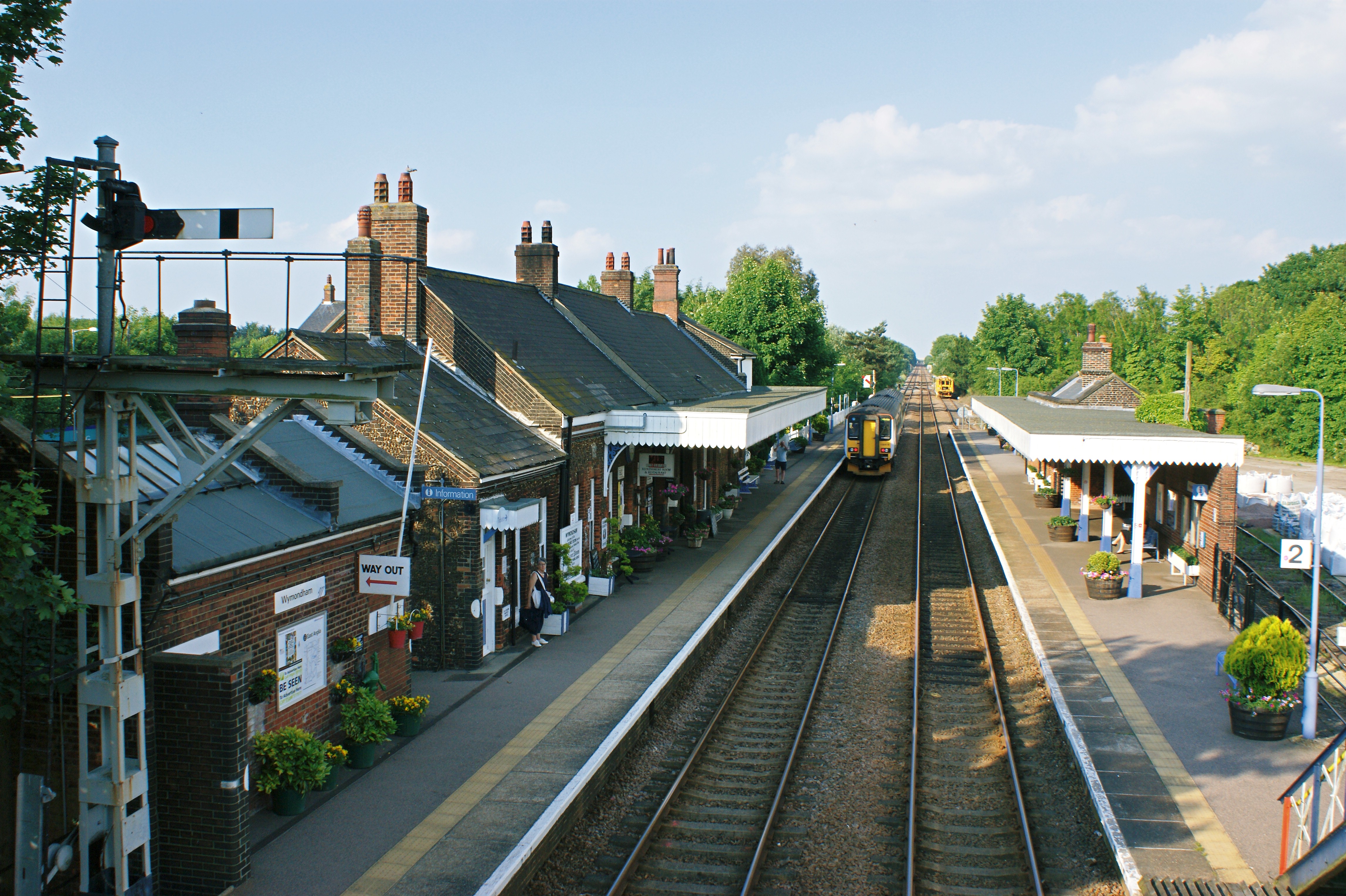
Wymondham railway station
Wymondham railway station is on the Breckland Line in the East of England, serving the market town of Wymondham, Norfolk. The line runs between Cambridge...
Nearby Amenities
Located within 500m of 52.530253,1.1072008Have you been to Clarke's Plantation?
Leave your review of Clarke's Plantation below (or comments, questions and feedback).