Chequers Wood

Wood, Forest in Essex Tendring

England

Chequers Wood

Manningtree Radio Mast Taken from Steam Mill Road facing approximately SE. Visible from miles around - see <a href="https://www.geograph.org.uk/photo/126109">TM1228 : Hedgerows</a>, <a href="https://www.geograph.org.uk/photo/126487">TM1028 : Braham Hall</a> and <a href="https://www.geograph.org.uk/photo/126488">TM0928 : War memorial</a>.
Manningtree Radio Mast Credit: JF

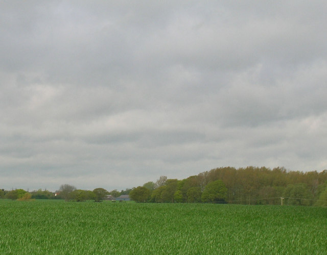
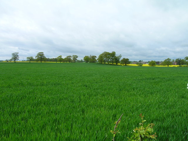
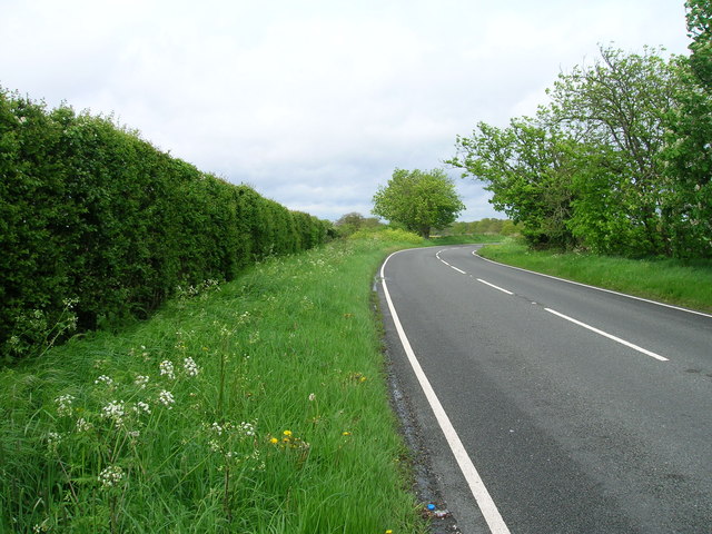
Chequers Wood is a picturesque woodland located in the county of Essex, England. Covering an area of approximately 50 acres, it is nestled in the heart of the Essex countryside and offers a tranquil escape for nature enthusiasts and hikers alike.

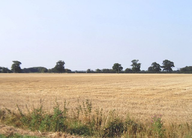
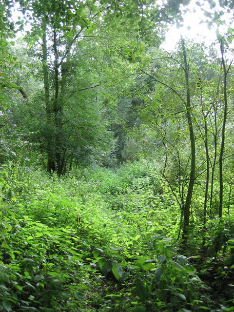
The wood is predominantly composed of broadleaf trees, including oak, beech, and ash, which provide a stunning display of colors throughout the year. In spring, the woodland floor is adorned with a carpet of bluebells, creating a breathtaking sight. The diverse range of flora and fauna found in Chequers Wood makes it a haven for wildlife, with sightings of deer, foxes, and various bird species being common.

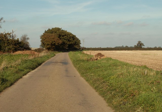
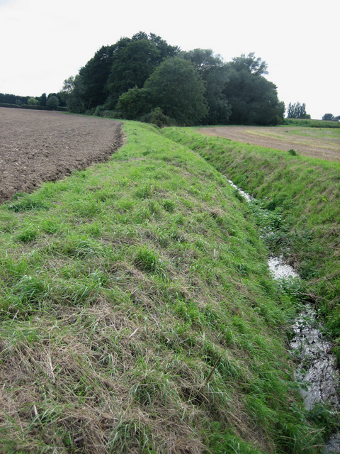
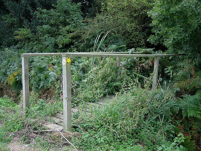
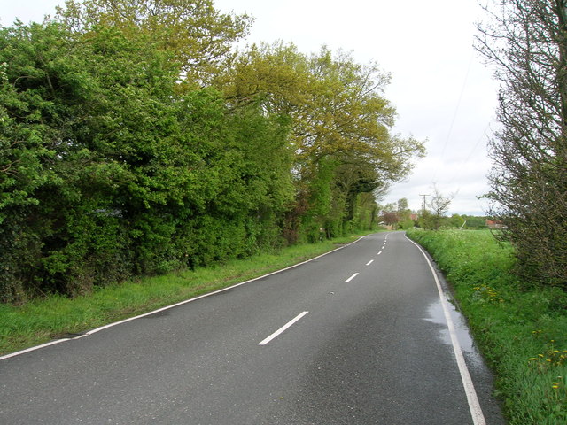
The wood boasts a network of well-maintained footpaths, allowing visitors to explore its beauty at their own pace. These paths meander through the trees, leading visitors to hidden clearings and viewpoints where they can appreciate the natural surroundings. The wood is also intersected by a stream, adding to its charm and providing a calming soundtrack as it trickles through the landscape.

Chequers Wood is a popular destination for outdoor activities such as hiking, birdwatching, and photography. The tranquil atmosphere and stunning scenery make it an ideal spot for those seeking solace and a connection with nature. The wood is open to the public throughout the year, with no admission fees, making it easily accessible for locals and tourists alike.

Overall, Chequers Wood is a true gem in the Essex countryside, offering visitors a chance to escape the hustle and bustle of urban life and immerse themselves in the beauty of nature.

If you have any feedback on the listing, please let us know in the comments section below.

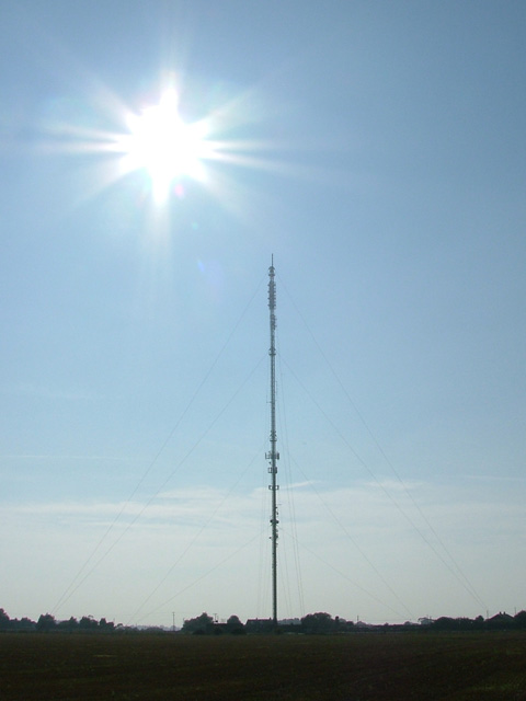
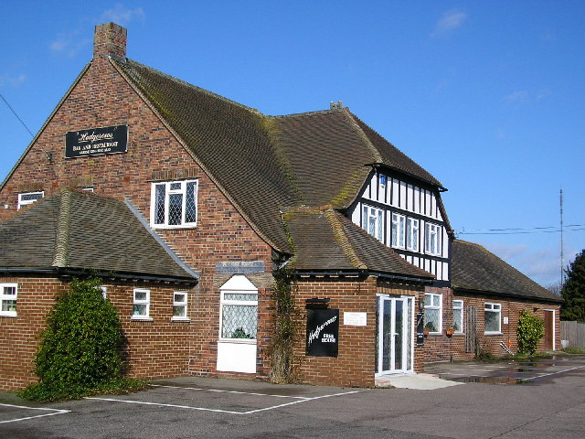
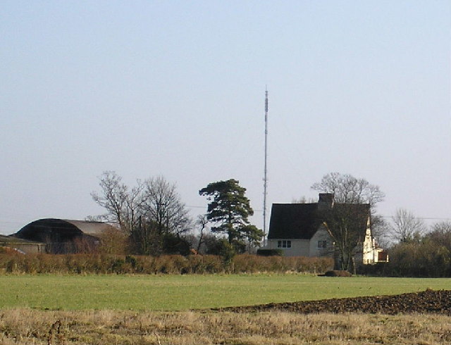
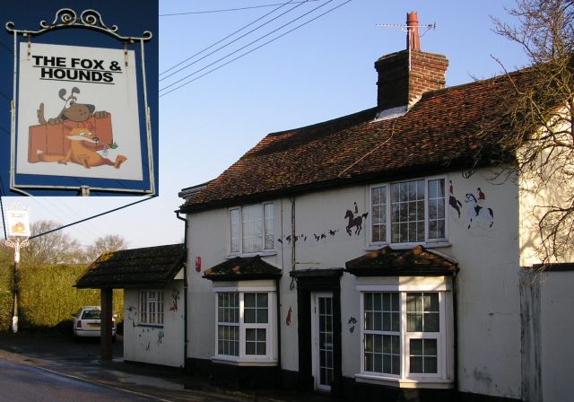
Chequers Wood Images

Images are sourced within 2km of 51.921365/1.0588412 or Grid Reference TM1029. Thanks to Geograph Open Source API. All images are credited.

Manningtree Radio Mast Taken from Steam Mill Road facing approximately SE. Visible from miles around - see <a href="https://www.geograph.org.uk/photo/126109">TM1228 : Hedgerows</a>, <a href="https://www.geograph.org.uk/photo/126487">TM1028 : Braham Hall</a> and <a href="https://www.geograph.org.uk/photo/126488">TM0928 : War memorial</a>.
Manningtree Radio Mast
Taken from Steam Mill Road facing approximately SE. Visible from miles around - see TM1228 : Hedgerows, TM1028 : Braham Hall and TM0928 : War memorial.
Hedgerows in Clacton Road at Horsleycross Street. The pub is in Mistley civil parish but the other side of the road is Bradfield CP. <a href="https://www.geograph.org.uk/photo/48878">TM1229 : Manningtree Radio Mast</a> is in the background.
Hedgerows
in Clacton Road at Horsleycross Street. The pub is in Mistley civil parish but the other side of the road is Bradfield CP. TM1229 : Manningtree Radio Mast is in the background.
Braham Hall off Bentley Road, Little Bromley taken from <a href="https://www.geograph.org.uk/photo/126488">TM0928 : War memorial</a>. <a href="https://www.geograph.org.uk/photo/48878">TM1229 : Manningtree Radio Mast</a> can be seen in the background.
Braham Hall
off Bentley Road, Little Bromley taken from TM0928 : War memorial. TM1229 : Manningtree Radio Mast can be seen in the background.
The Fox and Hounds Fortunately the Hunting Act 2004 <span class="nowrap"><a title="http://www.opsi.gov.uk/acts/acts2004/20040037.htm" rel="nofollow ugc noopener" href="http://www.opsi.gov.uk/acts/acts2004/20040037.htm">Link</a><img style="margin-left:2px;" alt="External link" title="External link - shift click to open in new window" src="https://s1.geograph.org.uk/img/external.png" width="10" height="10"/></span> did not create an offence of "glorification of hunting" otherwise this pub in Bentley Road, Little Bromley might be in trouble.
The Fox and Hounds
Fortunately the Hunting Act 2004 LinkExternal link did not create an offence of "glorification of hunting" otherwise this pub in Bentley Road, Little Bromley might be in trouble.
Part of Chequers Road
Farmland near Horseleycross Street Apart from one small wood, most of the gridsquare looks like this. Taken from  Skiphatch Lane, a grassy bridleway.
Farmland near Horseleycross Street
Apart from one small wood, most of the gridsquare looks like this. Taken from Skiphatch Lane, a grassy bridleway.
Watercourse leading into Aldercar near New Hall
Path inside Aldercar Wood close to New Hall Although it is thoroughly signposted, with footbridges provided and maintained, the path through this wood looked distinctly underused in early September 2007.
Path inside Aldercar Wood close to New Hall
Although it is thoroughly signposted, with footbridges provided and maintained, the path through this wood looked distinctly underused in early September 2007.
Footbridge into Aldercar Wood Two footbridges within a couple of hundred metres in this square assist this footpath route but, as <a href="https://www.geograph.org.uk/photo/544075">TM1128 : Path inside Aldercar Wood close to New Hall</a> shows, few people seem to pass this way.
Footbridge into Aldercar Wood
Two footbridges within a couple of hundred metres in this square assist this footpath route but, as TM1128 : Path inside Aldercar Wood close to New Hall shows, few people seem to pass this way.
The Haywain, Little Bromley Looking North past the village pub, now known as the Haywain (was the Fox and Hounds).
The Haywain, Little Bromley
Looking North past the village pub, now known as the Haywain (was the Fox and Hounds).
Bentley Road, Little Bromley Looking south to the Paynes Lane junction.
Bentley Road, Little Bromley
Looking south to the Paynes Lane junction.
Farmland near Abbott's Hall
Farmland towards New Hall
Footpath off Clacton Road
Clacton Road (B1035) heading north
Manningtree Radio Mast
Farmland off the B1035
Clacton Road (B1035) towards Manningtree
Show me another place!

Chequers Wood is located at Grid Ref: TM1029 (Lat: 51.921365, Lng: 1.0588412)

Administrative County: Essex

District: Tendring

Police Authority: Essex

What 3 Words

///comedy.before.school. Near Manningtree, Essex

Nearby Locations

Chequers Wood

Related Wikis

Little Bromley

Little Bromley is a village and civil parish in the Tendring district of Essex, England. The name "Bromley" is Old English for "broomy wood/clearing"....

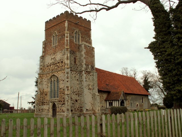
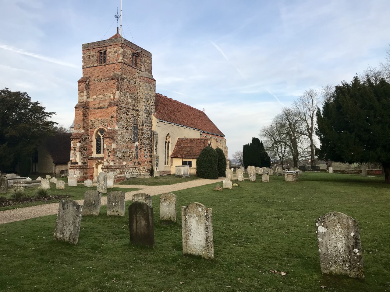
St Mary the Virgin's Church, Little Bromley

St Mary the Virgin's Church is a former Anglican church near the village of Little Bromley, Essex, England. It is recorded in the National Heritage List...

Horsleycross Street

Horsleycross Street is a hamlet in the English county of Essex. Horsleycross Street lies on the B1035 road about a mile to the north of the main A120 that...

Manningtree High School

Manningtree High School is a secondary school with academy status in Lawford, Manningtree, Essex, England. The school has specialist status in Science...

Lawford

Lawford is a large village and civil parish in the Tendring district of northeast Essex, England. It is approximately 6 miles (10 km) northeast from the...

Horsley Cross

Horsley Cross is a hamlet in the English county of Essex. Horsley Cross lies on the B1035 road just to the north of the main A120 that connects London...

Bradfield Heath

Bradfield Heath is a village in Essex, England. It is located in between the A120 road and the B1352 road. It is the location of the former Bradfield Hall...

Manningtree

Manningtree is a town and civil parish in the Tendring district of Essex, England, which lies on the River Stour. It is part of the Suffolk Coast and Heaths...

Nearby Amenities

Located within 500m of 51.921365,1.0588412
Power: pole
Source: bing
Lat/Long: 51.9173149/1.0560643
Power: pole
Source: bing
Lat/Long: 51.9172663/1.0594039
Power: pole
Source: bing
Lat/Long: 51.917293/1.0575435
Power: pole
Source: bing
Lat/Long: 51.9172346/1.0613034
The data included in this document is from www.openstreetmap.org. The data is made available under ODbL.

Have you been to Chequers Wood?

Leave your review of Chequers Wood below (or comments, questions and feedback).