Foxburrow Plantation
Wood, Forest in Norfolk Broadland
England
Foxburrow Plantation
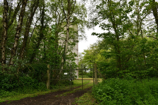
Foxburrow Plantation is a picturesque woodland located in Norfolk, England. Situated in the heart of the countryside, this enchanting forest covers an area of approximately 100 acres, making it a haven for nature enthusiasts and outdoor adventurers alike.
The plantation is renowned for its diverse array of flora and fauna, boasting a rich ecosystem that supports a wide range of wildlife. Ancient oak trees dominate the landscape, their sprawling branches creating a mesmerizing canopy that filters sunlight and casts dappled shadows on the forest floor. The woodland is also home to a variety of other tree species, including birch, beech, and ash, adding to its natural beauty.
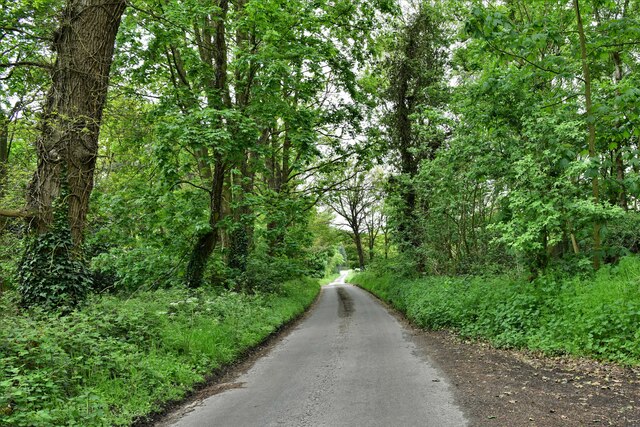
Tranquility abounds in Foxburrow Plantation, with peaceful walking trails winding through the forest, inviting visitors to explore its hidden treasures. These paths offer a chance to immerse oneself in the serenity of nature, while also providing an opportunity to observe the local wildlife. Deer, foxes, and rabbits are commonly spotted, and the forest is a sanctuary for a wide range of bird species, making it a popular destination for birdwatchers.
The plantation is also steeped in history, with remnants of an old Tudor manor house still visible within its grounds. These historical remnants add an extra layer of intrigue to the site, making it an intriguing destination for those interested in the area's past.
Overall, Foxburrow Plantation is a captivating woodland that offers a peaceful retreat from the bustle of everyday life. Its natural beauty, diverse wildlife, and rich history make it a must-visit destination for nature lovers and history enthusiasts alike.
If you have any feedback on the listing, please let us know in the comments section below.
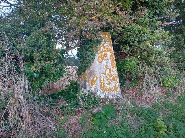
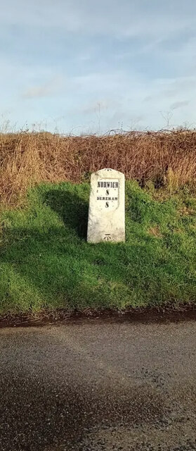
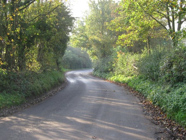
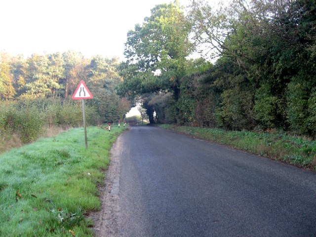
Foxburrow Plantation Images
Images are sourced within 2km of 52.678231/1.1108342 or Grid Reference TG1013. Thanks to Geograph Open Source API. All images are credited.


Foxburrow Plantation is located at Grid Ref: TG1013 (Lat: 52.678231, Lng: 1.1108342)
Administrative County: Norfolk
District: Broadland
Police Authority: Norfolk
What 3 Words
///quirky.recruiter.pricier. Near Mattishall, Norfolk
Nearby Locations
Related Wikis

Honingham Hall
Honingham Hall was a large country house at Honingham in Norfolk. == History == The house was commissioned by Sir Thomas Richardson, Chief Justice of the...

RAF Attlebridge
Royal Air Force Attlebridge, or simply RAF Attlebridge, is a former Royal Air Force station located near Attlebridge and 8 miles (13 km) northwest of Norwich...

Honingham
Honingham is a village and civil parish in the English county of Norfolk, located 8 miles (13 km) to the west of Norwich along the A47 trunk road. It covers...

Weston Longville
Weston Longville is a civil parish in the English county of Norfolk, approximately 8 miles (13 km) north-west of Norwich. Its name is derived from the...

East Tuddenham
East Tuddenham is a village in the English county of Norfolk. The village is located 5.6 miles (9.0 km) south-west of Dereham and 9.5 miles (15.3 km) north...
Hockering
Hockering is a village and civil parish in Norfolk, England. At the 2001 census the parish had a population of 628. By 2007, the district estimated that...

Hockering Wood
Hockering Wood is an 89.5-hectare (221-acre) biological Site of Special Scientific Interest east of Dereham in Norfolk.This is one of the largest areas...

Ringland, Norfolk
Ringland is a village and civil parish in Norfolk, England, and in the valley of the River Wensum, approximately 7 miles (11 km) north-west of Norwich...
Nearby Amenities
Located within 500m of 52.678231,1.1108342Have you been to Foxburrow Plantation?
Leave your review of Foxburrow Plantation below (or comments, questions and feedback).