Doves Wood

Wood, Forest in Kent Shepway

England

Doves Wood

Field near Frogs Hall A public footpath from the foreground gate goes to and through Cox Hill Wood at the far side of the field.
Field near Frogs Hall Credit: Robin Webster

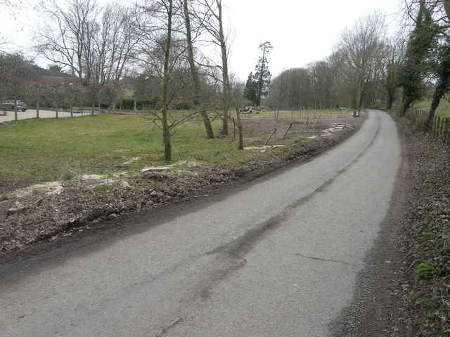
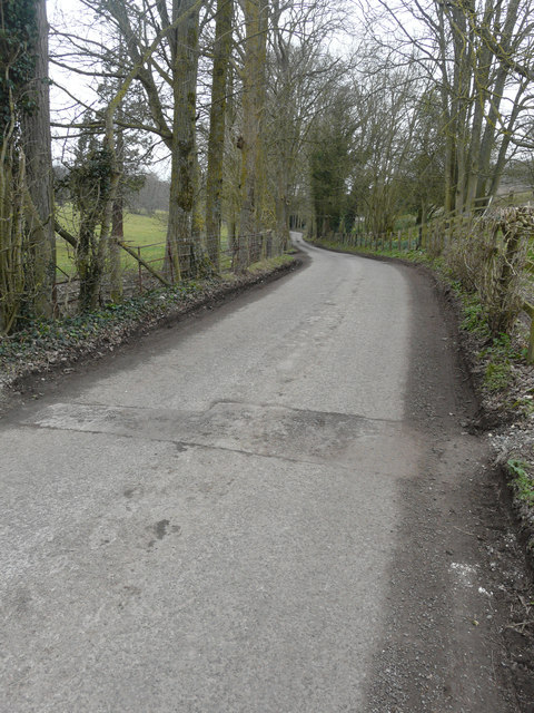
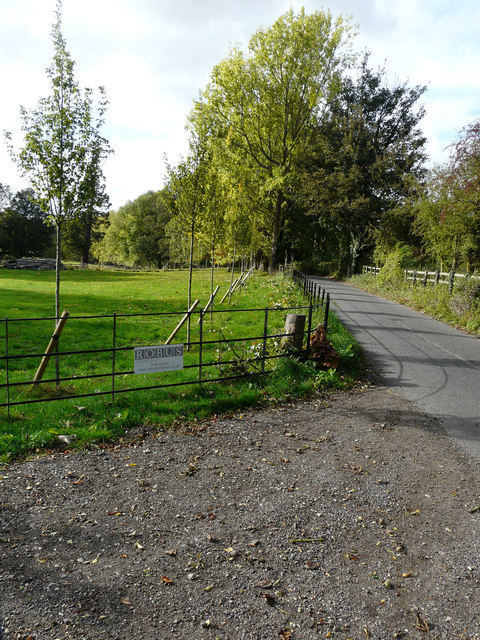
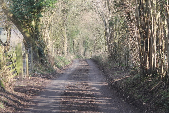
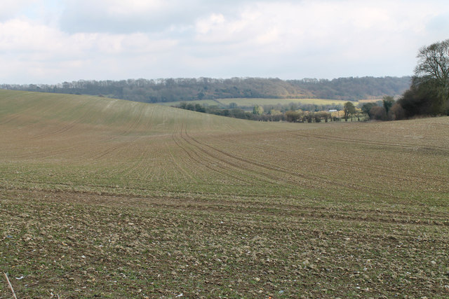
Dove's Wood is a picturesque forest located in the county of Kent, England. Spread over an area of approximately 50 acres, this woodland is a haven for nature enthusiasts and an ideal destination for those seeking tranquility amidst nature's beauty. As part of the larger Blean Woods complex, Dove's Wood is a designated Site of Special Scientific Interest (SSSI) and is managed by the Forestry Commission.

The woodland primarily consists of a mixture of broadleaf trees, including oak, beech, and sweet chestnut, which provide shade and shelter to a diverse range of flora and fauna. In spring, the forest floor is adorned with vibrant bluebells and wildflowers, creating a breathtaking sight for visitors. The woodland is also home to a variety of bird species, such as tawny owls, woodpeckers, and nightingales, making it a popular spot for birdwatching.

Dove's Wood offers several walking trails, allowing visitors to explore its natural beauty at their own pace. These trails are well-marked and provide opportunities for visitors to spot wildlife and discover hidden gems within the woodland. The peaceful ambiance and the soothing sound of birdsong make it an ideal place for a leisurely stroll or a family picnic.

In addition to its natural charm, Dove's Wood also has historical significance. It is believed to have been part of an ancient woodland that has been present in the area for centuries, providing a glimpse into the rich heritage of Kent.

Overall, Dove's Wood is a serene and enchanting destination that offers a perfect escape from the bustling city life, allowing visitors to reconnect with nature and enjoy the beauty of the Kent countryside.

If you have any feedback on the listing, please let us know in the comments section below.
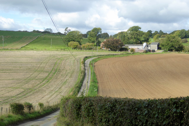
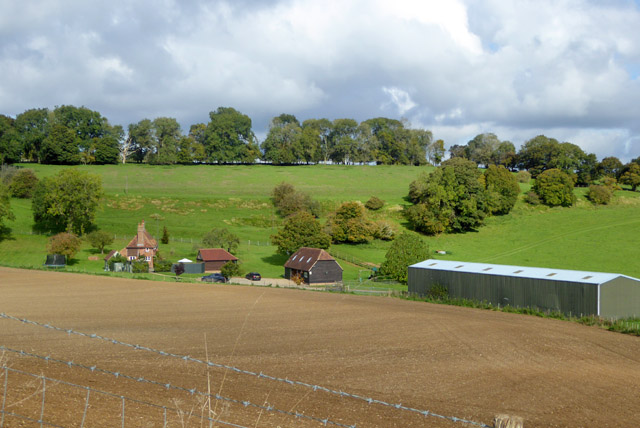
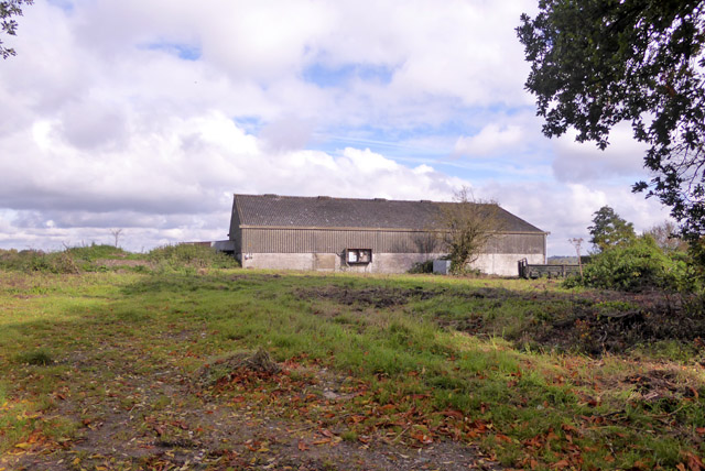
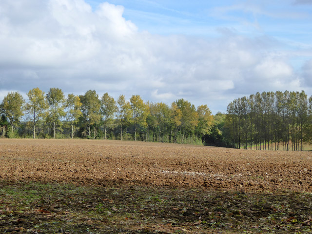
Doves Wood Images

Images are sourced within 2km of 51.179268/1.0042248 or Grid Reference TR1046. Thanks to Geograph Open Source API. All images are credited.

Field near Frogs Hall A public footpath from the foreground gate goes to and through Cox Hill Wood at the far side of the field.
Field near Frogs Hall
A public footpath from the foreground gate goes to and through Cox Hill Wood at the far side of the field.
Lane towards Great Holt Farm And onwards to Bodsham.
Lane towards Great Holt Farm
And onwards to Bodsham.
Little Holt Farm Reached via a drive off the public road at Great Holt Farm.
Little Holt Farm
Reached via a drive off the public road at Great Holt Farm.
Barn, Bodsham Apparently on its own plot.
Barn, Bodsham
Apparently on its own plot.
Farmland east of Shrubs Wood Hedgerow wind break trees suggest there were once orchards or hops here.
Farmland east of Shrubs Wood
Hedgerow wind break trees suggest there were once orchards or hops here.
Road to Grandacre Farm
Newly planted trees beside a lane A row of crack willows (salix fragilis), which were planted immediately beside the lane, has been cut down and their trunks and branches stacked further back from the lane. A row of young trees has been planted behind the stumps.
Newly planted trees beside a lane
A row of crack willows (salix fragilis), which were planted immediately beside the lane, has been cut down and their trunks and branches stacked further back from the lane. A row of young trees has been planted behind the stumps.
Trees along a lane The trees, on the left, are crack willows (salix fragilis) and are located just round the bend in the image showing <a href="https://www.geograph.org.uk/photo/5730050">TR1045 : Newly planted trees beside a lane</a>. It is possible that the other trees were cut down, so that a new fence might be installed further back from the lane’s edge, as this one is a continuation of the old fence.
Trees along a lane
The trees, on the left, are crack willows (salix fragilis) and are located just round the bend in the image showing TR1045 : Newly planted trees beside a lane. It is possible that the other trees were cut down, so that a new fence might be installed further back from the lane’s edge, as this one is a continuation of the old fence.
Row of trees beside a lane Seven months ago, they were <a href="https://www.geograph.org.uk/photo/5730050">TR1045 : Newly planted trees beside a lane</a> but now they are in leaf and a new fence has been installed.
Row of trees beside a lane
Seven months ago, they were TR1045 : Newly planted trees beside a lane but now they are in leaf and a new fence has been installed.
BT (British Telecom) telephone exchange Quite near Evington Pottery
BT (British Telecom) telephone exchange
Quite near Evington Pottery
Crossroads near Evington Pottery The lane straight ahead would take you to Elmsted Court. The section of the building on the right of the frame is a <a href="https://www.geograph.org.uk/photo/2813426">TR1145 : BT (British Telecom) telephone exchange</a>
Crossroads near Evington Pottery
The lane straight ahead would take you to Elmsted Court. The section of the building on the right of the frame is a TR1145 : BT (British Telecom) telephone exchange
Crossroads near Evington Pottery The lane to the left would take you to Evington Pottery, straight ahead to Stone Street and right to Elmsted Court.
Crossroads near Evington Pottery
The lane to the left would take you to Evington Pottery, straight ahead to Stone Street and right to Elmsted Court.
Whiteacre Lane A Small lane in poor condition running down to Yockletts Farm.
Whiteacre Lane
A Small lane in poor condition running down to Yockletts Farm.
Field off Whiteacre Lane The first signs of growth are seen in this field.
Field off Whiteacre Lane
The first signs of growth are seen in this field.
The Timber Batts A pub and restaurant which dates from the 15th Century.
The Timber Batts
A pub and restaurant which dates from the 15th Century.
Young crops near Bow Lease
Bend in lane through Doves Wood Although this looks like a junction on the map, it appears to be a bend to the right. confused further by fallen leaves on the road and a private track heading off left.
Bend in lane through Doves Wood
Although this looks like a junction on the map, it appears to be a bend to the right. confused further by fallen leaves on the road and a private track heading off left.
Field of stubble
Field of stubble
Show me another place!

Doves Wood is located at Grid Ref: TR1046 (Lat: 51.179268, Lng: 1.0042248)

Administrative County: Kent

District: Shepway

Police Authority: Kent

What 3 Words

///stopped.nail.poses. Near Wye, Kent

Related Wikis

Shrub's Wood Long Barrow

Shrub's Wood Long Barrow is an unchambered long barrow located near to the village of Elmsted in the south-eastern English county of Kent. It was probably...

Park Gate Down

Park Gate Down or Parkgate Down is a 7-hectare (17-acre) biological Site of Special Scientific Interest south-east of Stelling Minnis in Kent. It is also...

Hastingleigh

Hastingleigh is a small civil parish centred on an escarpment of the Kent Downs. The parish is three miles east of Wye and ten miles south of Canterbury...

Waltham, Kent

Waltham is a village and civil parish 7 miles (11 km) southwest of Canterbury in Kent, England. == History == The village was once associated with the...

Elmsted

Elmsted is a village and civil parish in the Folkestone and Hythe District of Kent, England. It is located west of Stone Street (the B2068), the Roman...

Spong Wood

Spong Wood is a 18-hectare (44-acre) nature reserve west of Stelling Minnis in Kent. It is managed by Kent Wildlife Trust.Common trees in this coppiced...

Wye and Crundale Downs

Wye and Crundale Downs is a 358.3-hectare (885-acre) biological and geological Site of Special Scientific Interest in a number of separate areas east of...

Yockletts Bank

Yockletts Bank is a 25.4-hectare (63-acre) biological Site of Special Scientific Interest west of Stelling Minnis in Kent. It is managed by KWT and is...

Nearby Amenities

Located within 500m of 51.179268,1.0042248
The data included in this document is from www.openstreetmap.org. The data is made available under ODbL.

Have you been to Doves Wood?

Leave your review of Doves Wood below (or comments, questions and feedback).