Four Wents

Settlement in Kent Tunbridge Wells

England

Four Wents

Sunnyside Barn As seen from Swattenden Lane.
Close to Charity Farm.
Sunnyside Barn Credit: David Anstiss

Four Wents is a small hamlet located in the county of Kent, England. Situated approximately 3 miles southwest of the town of Maidstone, it falls within the local government district of Tonbridge and Malling. Despite its close proximity to Maidstone, Four Wents maintains a distinct rural character.

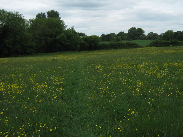
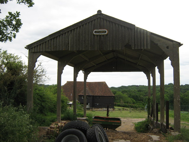
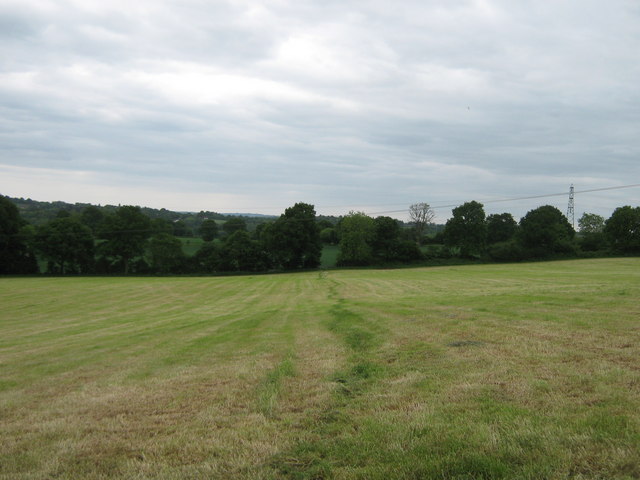
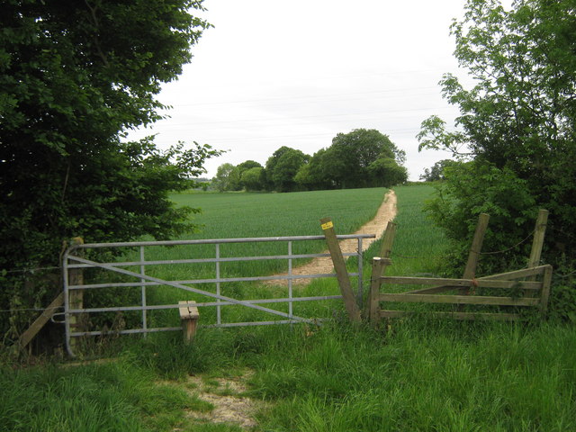
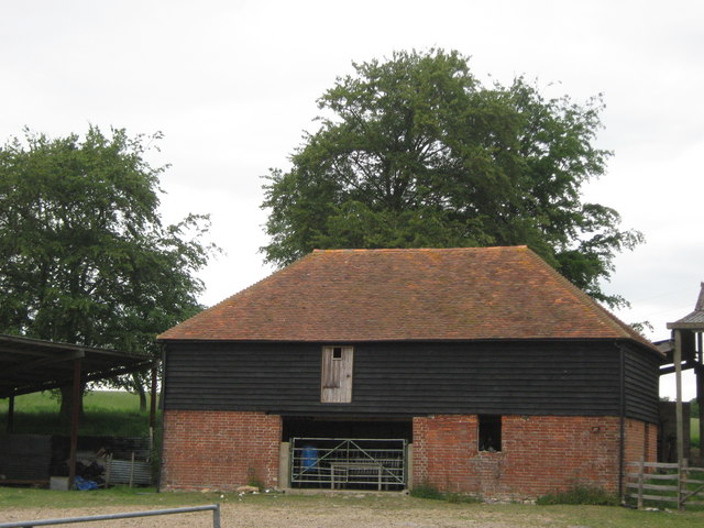
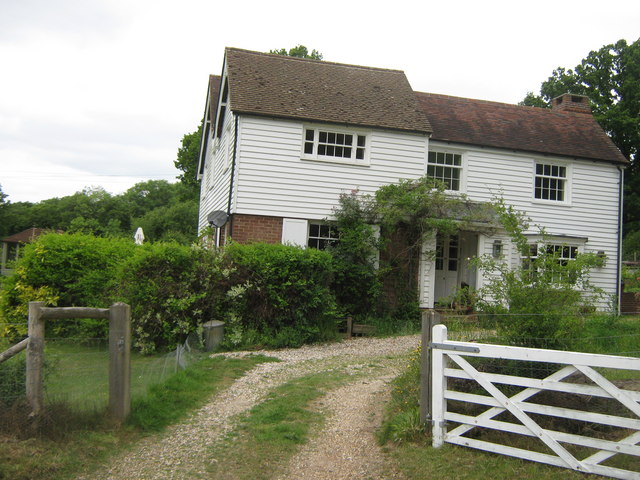
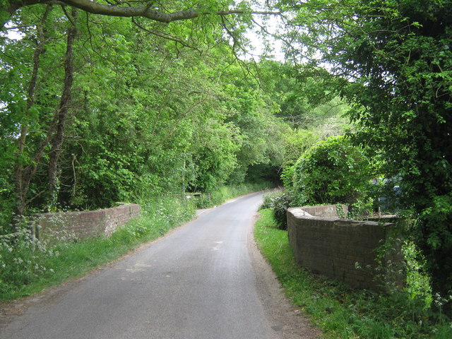
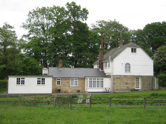
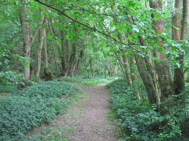
The hamlet is nestled amidst the picturesque countryside, surrounded by rolling hills and lush green fields. It is primarily a residential area, comprising a cluster of houses, cottages, and farms. The architecture reflects the traditional English countryside style, with charming thatched-roof buildings and timber-framed structures.

Four Wents benefits from its tranquil setting, offering residents a peaceful and idyllic lifestyle. The hamlet is well-connected to neighboring towns and villages, with several major roads passing nearby, including the A20 and A26. This allows for convenient access to amenities, services, and employment opportunities in nearby urban centers.

While Four Wents itself does not feature any significant landmarks or attractions, its proximity to the vibrant town of Maidstone provides residents with a range of cultural, recreational, and commercial opportunities. Maidstone boasts a rich history, with attractions such as Leeds Castle, Maidstone Museum, and the historic Archbishop's Palace.

In conclusion, Four Wents is a charming and tranquil hamlet in Kent, offering residents a rural lifestyle while remaining within reach of the amenities and attractions of nearby Maidstone. Its picturesque surroundings and convenient location make it an appealing place to live for those seeking a balance between countryside living and urban accessibility.

If you have any feedback on the listing, please let us know in the comments section below.
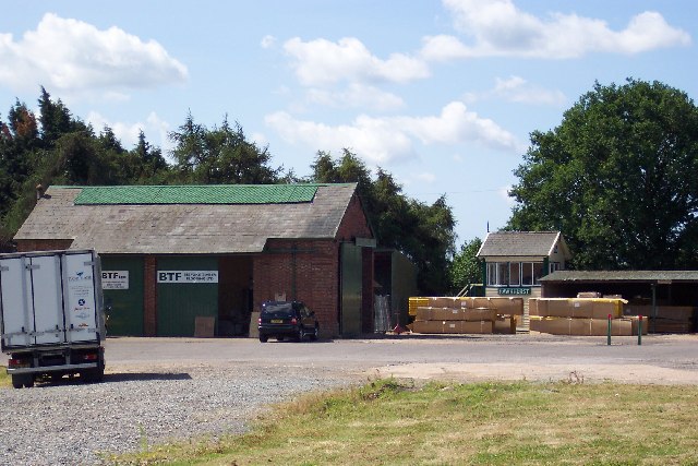
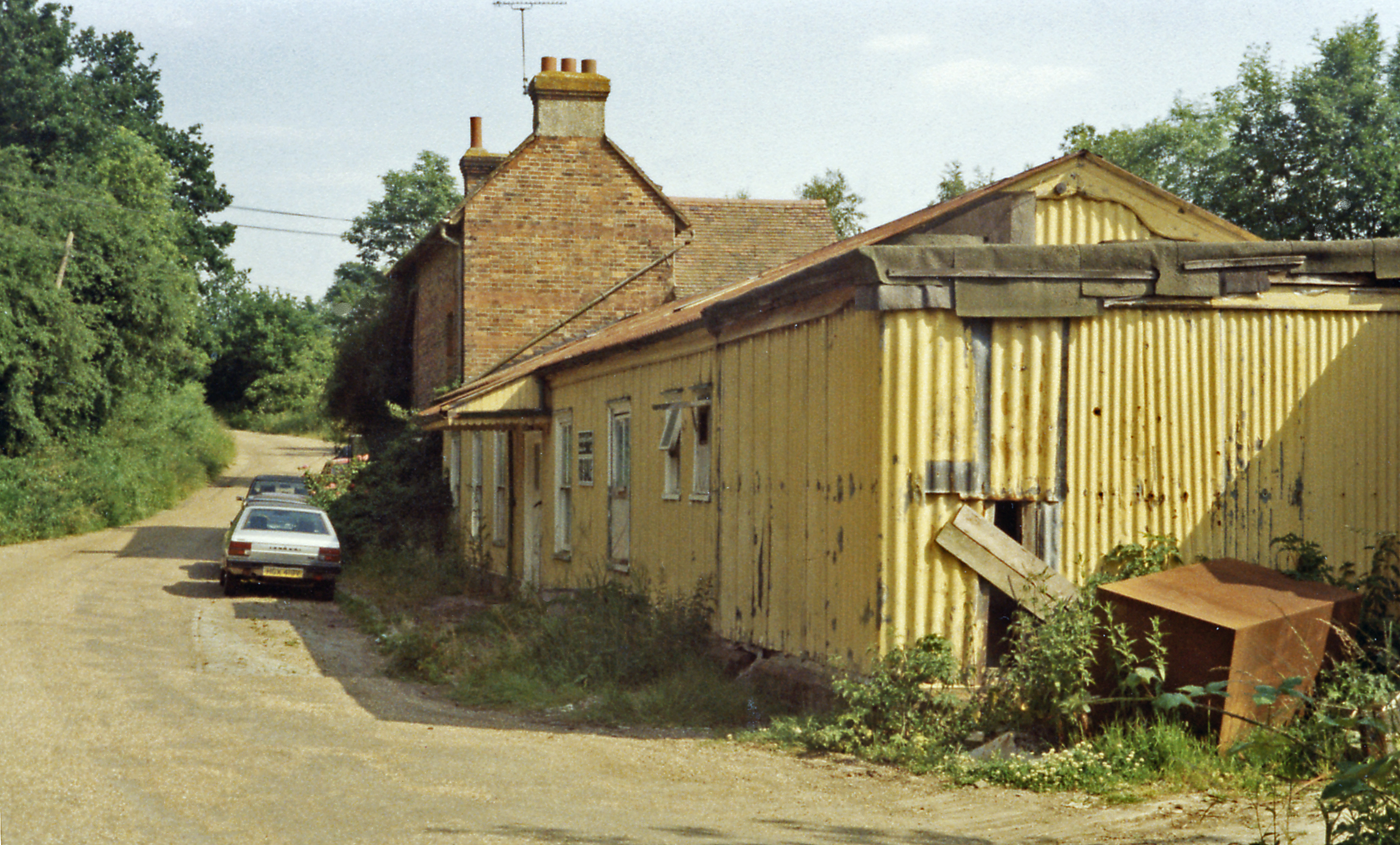
Four Wents Images

Images are sourced within 2km of 51.067341/0.519804 or Grid Reference TQ7632. Thanks to Geograph Open Source API. All images are credited.

Sunnyside Barn As seen from Swattenden Lane.
Close to Charity Farm.
Sunnyside Barn
As seen from Swattenden Lane. Close to Charity Farm.
Buttercup path towards Swattenden Centre This path leads from Cranbrook Road, near School Farm, towards the wood around Swattenden Gill and then past the leisure centre towards Swattenden Lane.
Buttercup path towards Swattenden Centre
This path leads from Cranbrook Road, near School Farm, towards the wood around Swattenden Gill and then past the leisure centre towards Swattenden Lane.
Pond near Chequer Tree Farm At the junction of two fences and four large fields.
Pond near Chequer Tree Farm
At the junction of two fences and four large fields.
Gate and stile near Swattenden Gill A footpath from B2086 Cranbrook Road, leads straight on through the hedge towards Swattenden Centre on Swattenden Lane. Another path heads right along the hedge towards Pricklegate Cottage on Swattenden Lane, or heads left along the hedge to Nineveh Lane.

The gate and stile are new. Compare with <a href="https://www.geograph.org.uk/photo/1500804">TQ7734 : Footpath crossroads near Swattenden Gill</a> in 2009.
Gate and stile near Swattenden Gill
A footpath from B2086 Cranbrook Road, leads straight on through the hedge towards Swattenden Centre on Swattenden Lane. Another path heads right along the hedge towards Pricklegate Cottage on Swattenden Lane, or heads left along the hedge to Nineveh Lane. The gate and stile are new. Compare with TQ7734 : Footpath crossroads near Swattenden Gill in 2009.
Pond near Chequer Tree Farm Beside a fence and two fields.
Pond near Chequer Tree Farm
Beside a fence and two fields.
Pond near Swattenden Gil This pond is at the junction of four fields.
Pond near Swattenden Gil
This pond is at the junction of four fields.
Gates on Cranbrook Road These gates near School Farm leads through fields towards Swatteden Lane, near Swattenden Centre.
Gates on Cranbrook Road
These gates near School Farm leads through fields towards Swatteden Lane, near Swattenden Centre.
Gates near Crit Hall These gates are on a footpath from the B2066 Cranbrook Road, towards Ninevah Lane. In the background is Five Acre Wood.
Gates near Crit Hall
These gates are on a footpath from the B2066 Cranbrook Road, towards Ninevah Lane. In the background is Five Acre Wood.
Footpath in Five Acre Wood A path leads from the B2086 Cranbrook Road through the wood, towards Ninevah Lane.
Footpath in Five Acre Wood
A path leads from the B2086 Cranbrook Road through the wood, towards Ninevah Lane.
New plantatation beside Five Acre Wood This large plantation is beside a footpath from B2086 Cranbrook Road towards Ninevah Lane.
New plantatation beside Five Acre Wood
This large plantation is beside a footpath from B2086 Cranbrook Road towards Ninevah Lane.
Barn near Forest Farm Converted barn as seen from Ninevah Lane towards Water Lane.
In the foreground is a hayrick.
Barn near Forest Farm
Converted barn as seen from Ninevah Lane towards Water Lane. In the foreground is a hayrick.
Footpath to Tilden Farm This path leads from Ninevah Lane, past Forest Farm towards another farm and onwards to Water Lane.
Footpath to Tilden Farm
This path leads from Ninevah Lane, past Forest Farm towards another farm and onwards to Water Lane.
Gate and footpath to Tilden Farm This path leads from Ninevah Lane, past Forest Farm and this gate, towards another farm and onwards to Water Lane.
Gate and footpath to Tilden Farm
This path leads from Ninevah Lane, past Forest Farm and this gate, towards another farm and onwards to Water Lane.
Barn in Tilden Farm As seen from a path from Water Lane, past Tilden Farm leading towards Forest Farm and onwards to Ninevah Lane.
Barn in Tilden Farm
As seen from a path from Water Lane, past Tilden Farm leading towards Forest Farm and onwards to Ninevah Lane.
Cottage near Tilden Farm As seen from a farm track leading from Water Lane towards the farm.
Cottage near Tilden Farm
As seen from a farm track leading from Water Lane towards the farm.
Bridge on Water Lane This road leads from Four Wents to Four Throws.
It leads over the stream from Furnace Mill towards Sopp's Plant Wood.
The bridge is Grade II Listed, same as the next road bridge over another section of the stream.
See <span class="nowrap"><a title="http://www.britishlistedbuildings.co.uk/en-169812-bridge-at-tq-775-314-hawkhurst" rel="nofollow ugc noopener" href="http://www.britishlistedbuildings.co.uk/en-169812-bridge-at-tq-775-314-hawkhurst">Link</a><img style="margin-left:2px;" alt="External link" title="External link - shift click to open in new window" src="https://s1.geograph.org.uk/img/external.png" width="10" height="10"/></span> for more details about the bridge
Bridge on Water Lane
This road leads from Four Wents to Four Throws. It leads over the stream from Furnace Mill towards Sopp's Plant Wood. The bridge is Grade II Listed, same as the next road bridge over another section of the stream. See LinkExternal link for more details about the bridge
Building near Furnace Mill This building is beside one of the mill stream. 
As seen from a footpath leading from Water Lane to Heartenoak Road.
Building near Furnace Mill
This building is beside one of the mill stream. As seen from a footpath leading from Water Lane to Heartenoak Road.
Footpath beside Furnace Mill Stream This track leads through White's Wood towards Heartenoak Road.
Footpath beside Furnace Mill Stream
This track leads through White's Wood towards Heartenoak Road.
Show me another place!

Four Wents is located at Grid Ref: TQ7632 (Lat: 51.067341, Lng: 0.519804)

Administrative County: Kent

District: Tunbridge Wells

Police Authority: Kent

What 3 Words

///lamp.paler.waddle. Near Hawkhurst, Kent

Related Wikis

Robins Wood

Robins Wood is a 47.7-hectare (118-acre) biological Site of Special Scientific Interest between Tunbridge Wells and Ashford in Kent.This is a deep valley...

Hawkhurst railway station

Hawkhurst railway station was on the closed Hawkhurst Branch in Kent, England. == Background == The station was opened on 4 September 1893, when the line...

Swattenden

Swattenden is a small settlement in the parish of Cranbrook and Sissinghurst in England. It is situated on the B2086 (Swattenden Lane) about a mile from...

Hartley, Tunbridge Wells

Hartley is a village one mile southwest of Cranbrook in Kent, England. The only retailer in the area is a local farmshop, which has a cafe and fishmongers...

Cranbrook railway station (Kent)

Cranbrook railway station is a disused English station which was on the closed Hawkhurst Branch in Kent, England. == Background == The station was opened...

Hawkhurst

Hawkhurst is a village and civil parish in the borough of Tunbridge Wells in Kent, England. The village is located close to the border with East Sussex...

Beal's Green

Beal's Green is a hamlet north of Hawkhurst in Kent, South East England.

Marlborough House School

Marlborough House School is a co-educational preparatory school situated in 34 acres (14 ha) of countryside in Hawkhurst, Kent. The school currently has...

Nearby Amenities

Located within 500m of 51.067341,0.519804
Post Box
Collection Times: Mo-Fr 16:00; Sa 09:00
Operator: Royal Mail
Post Box Type: lamp
Ref: TN18 264
Royal Cypher: EIIR
Royal Cypher Wikidata: Q33102113
Lat/Long: 51.0674291/0.5195251
Barrier: stile
Lat/Long: 51.0684591/0.5134566
Barrier: stile
Lat/Long: 51.0661497/0.5264468
Barrier: stile
Lat/Long: 51.0674654/0.5143066
Barrier: stile
Lat/Long: 51.0683045/0.5199322
Barrier: stile
Lat/Long: 51.0651745/0.524846
Power: pole
Lat/Long: 51.067949/0.5252714
Power: pole
Lat/Long: 51.066261/0.5261465
Power: pole
Lat/Long: 51.0698865/0.5242692
Power: pole
Lat/Long: 51.0671871/0.5256698
Power: pole
Lat/Long: 51.0687915/0.5248381
Power: pole
Lat/Long: 51.0707393/0.5238143
Kemps
Addr City: Hawkhurst
Addr Street: Potter's Lane
Lat/Long: 51.0673679/0.5133517
The data included in this document is from www.openstreetmap.org. The data is made available under ODbL.

Have you been to Four Wents?

Leave your review of Four Wents below (or comments, questions and feedback).