Alder Carr
Wood, Forest in Suffolk Mid Suffolk
England
Alder Carr

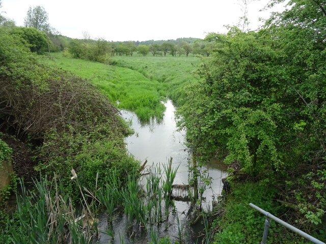
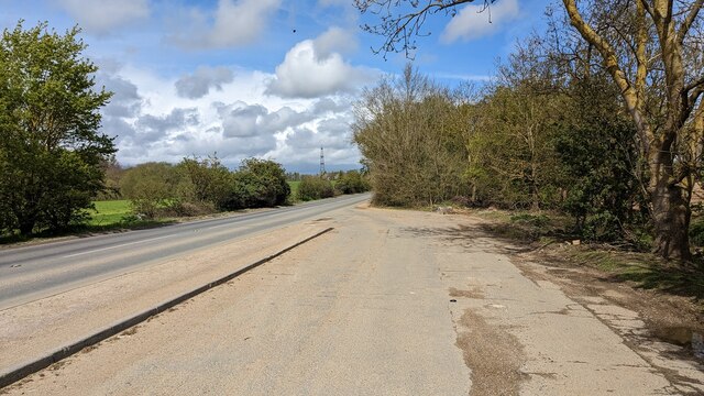
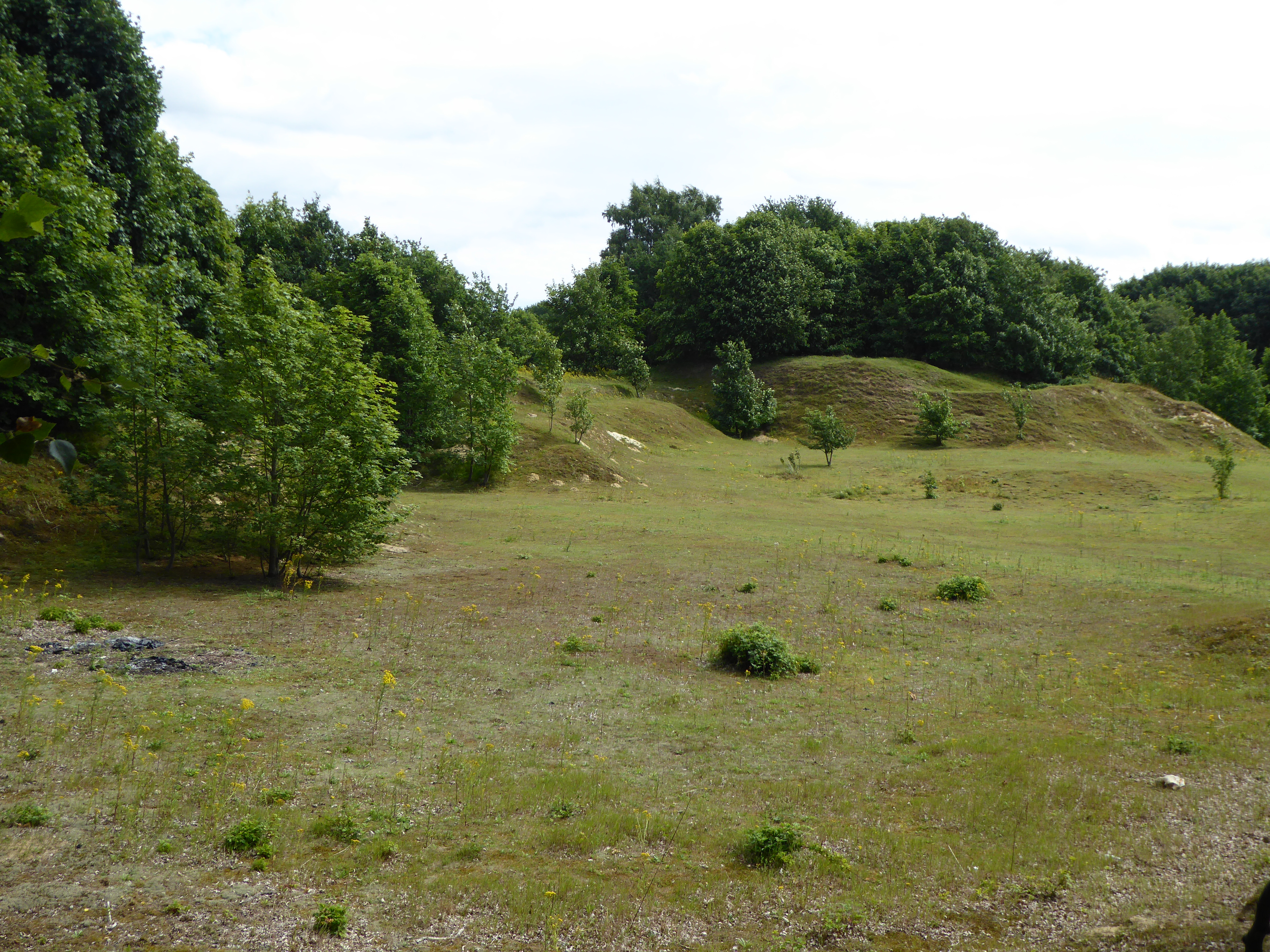
Alder Carr, Suffolk is a charming wood and forest located in the eastern region of England. Spanning over a vast area of land, this natural haven offers visitors a serene and picturesque setting to explore. The wood is dominated by the presence of alder trees, which lend their name to this magnificent woodland.
The landscape of Alder Carr is a tapestry of diverse flora and fauna. Among the towering alder trees, one can also find an array of other tree species such as oak, birch, and willow, adding to the rich biodiversity of the area. The forest floor is adorned with a vibrant carpet of wildflowers, creating a mesmerizing spectacle during the spring months.
The wood is not only a visual delight but also provides a habitat for numerous wildlife species. Bird enthusiasts can spot a variety of feathered creatures, including woodpeckers, owls, and warblers, while lucky visitors may even catch a glimpse of elusive mammals such as deer and foxes.
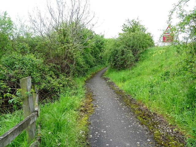
For nature lovers and outdoor enthusiasts, Alder Carr offers a range of activities to engage in. Walking trails wind through the forest, allowing visitors to soak in the beauty of their surroundings while also providing an opportunity for peaceful reflection. The wood is also a popular spot for birdwatching, photography, and simply enjoying a picnic amidst nature's embrace.
Alder Carr, Suffolk is a true gem for those seeking solace in the arms of nature. Its breathtaking beauty and abundant wildlife make it an ideal destination for anyone looking to escape the hustle and bustle of modern life and reconnect with the natural world.
If you have any feedback on the listing, please let us know in the comments section below.
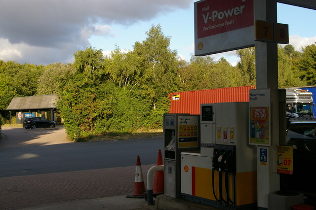
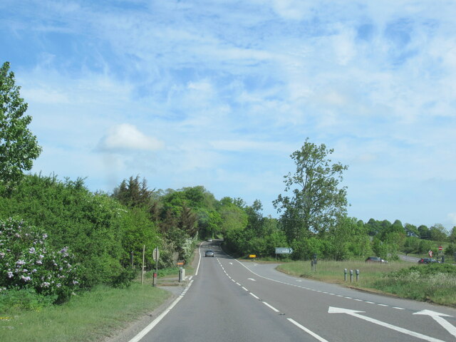
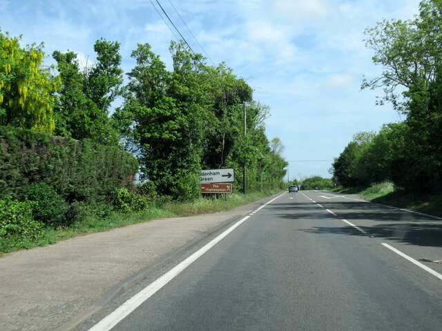
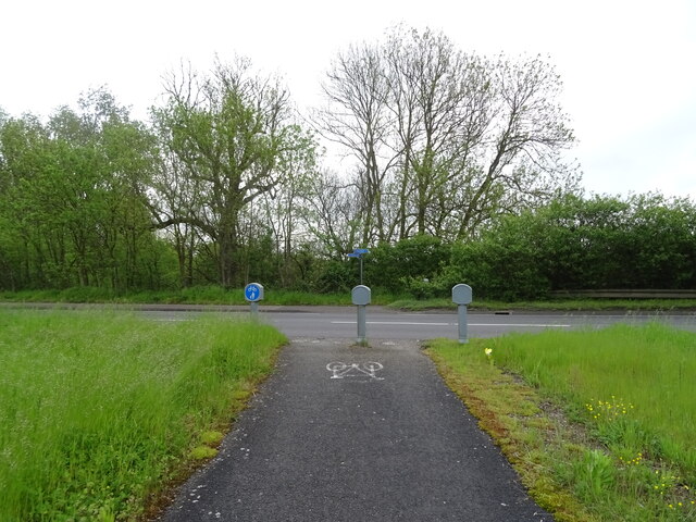
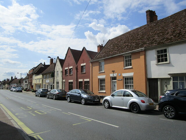
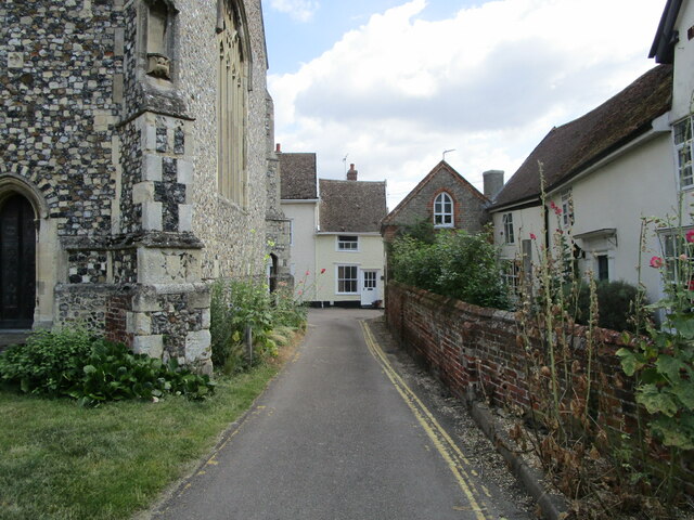
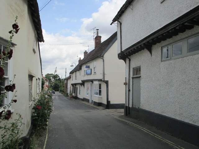
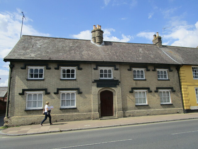
Alder Carr Images
Images are sourced within 2km of 52.151072/1.0682559 or Grid Reference TM1054. Thanks to Geograph Open Source API. All images are credited.
Alder Carr is located at Grid Ref: TM1054 (Lat: 52.151072, Lng: 1.0682559)
Administrative County: Suffolk
District: Mid Suffolk
Police Authority: Suffolk
What 3 Words
///work.butterfly.beauty. Near Needham Market, Suffolk
Nearby Locations
Related Wikis

Needham Lake
Needham Lake is a 9.9 hectare Local Nature Reserve in Needham Market in Suffolk. It is owned and managed by Mid Suffolk District Council. It is a Regionally...
Creeting St Mary Pits
Creeting St Mary Pits is a 5.4-hectare (13-acre) geological Site of Special Scientific Interest south Creeting St Mary in Suffolk, England. It is a Geological...

Needham Market railway station
Needham Market railway station is on the Great Eastern Main Line (GEML) in the East of England, serving the town of Needham Market, Suffolk. It is 77 miles...

Creeting St Mary Windmill
Creeting St Mary Windmill is a Grade II listed dovecote at Creeting St Mary, Suffolk, England which has been restored. It was originally the body of a...
Darmsden
Darmsden is a hamlet and civil parish in the Mid Suffolk district of Suffolk, England. Located near the A14 road around 2 kilometres (1 mi) south of the...

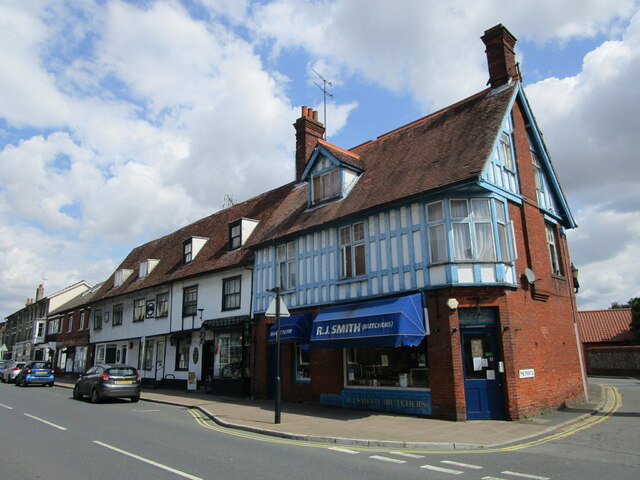
Needham Market
Needham Market is a town in the Mid Suffolk district of Suffolk, England. Nearby villages include Barking, Darmsden, Badley and Creeting St Mary. The town...
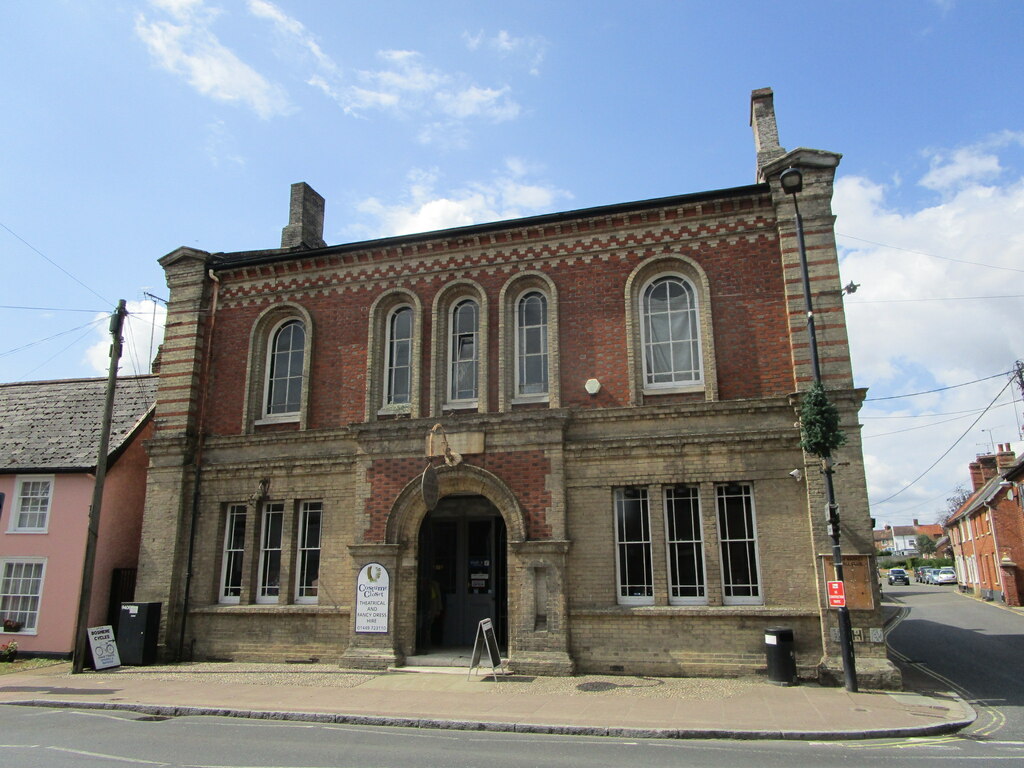
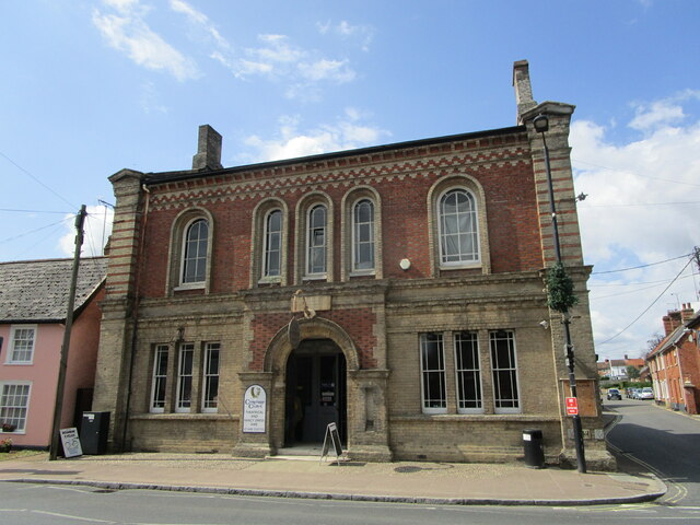
Old Town Hall, Needham Market
The Old Town Hall is a municipal building in the High Street in Needham Market, Suffolk, England. The building, which now accommodates an antiques centre...

Mid Suffolk
Mid Suffolk is a local government district in Suffolk, England. Its council was based in Needham Market until late 2017, and is currently sharing offices...
Related Videos

Secret History of Needham Market in Suffolk : Walking the Corpse Way
The secret history of Needham Market in Suffolk. How this little town isolated itself during the Bubonic Plague of 1665-1666, and ...

Pitmen Travel | Needham Market
Go behind the scenes of Hednesford's game at Needham Market in a mini edition of Pitmen Travel Hednesford Town Website ...

Penny's first trip to Needham Lake 29.07.23
Penny's first outing to one of our favourite walking spots – Needham Lake in Needham Market, Suffolk. Other than walking around ...

Needham lake, Ipswich, UK
Lovely moments with friends and family.
Nearby Amenities
Located within 500m of 52.151072,1.0682559Have you been to Alder Carr?
Leave your review of Alder Carr below (or comments, questions and feedback).