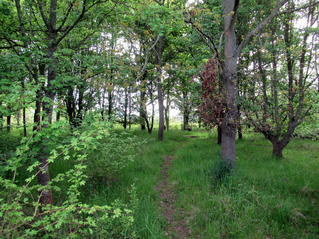
Braham Wood
Wood, Forest in Suffolk Babergh
England
Braham Wood
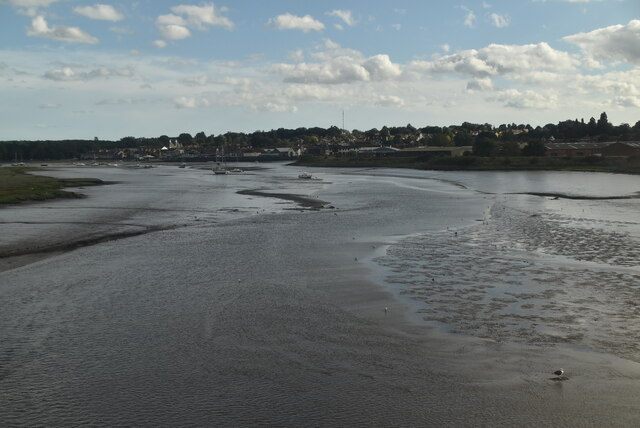
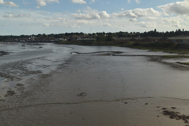
Braham Wood, located in Suffolk, England, is a picturesque forest that spans over a vast area of land. This beautiful woodland area is a popular destination for nature lovers and outdoor enthusiasts alike. Braham Wood is known for its abundant wildlife, tranquil atmosphere, and stunning scenery.
The woodland is predominantly made up of native tree species such as oak, beech, and birch, which create a dense canopy overhead. These trees provide a habitat for a diverse range of wildlife including deer, foxes, badgers, and a variety of bird species. Walking through Braham Wood, visitors may have the opportunity to spot some of these creatures in their natural habitat.
The forest is crisscrossed by a network of well-maintained walking trails, making it an ideal location for hiking, jogging, and exploring. These trails offer different routes of varying lengths, catering to both casual walkers and more avid adventurers. Additionally, there are several designated picnic areas within the woodland, providing a perfect spot to relax and enjoy a packed lunch amidst the tranquil surroundings.
Braham Wood is not only a haven for wildlife and outdoor activities but also serves as an important conservation area. The woodland is carefully managed to preserve its natural beauty and protect its delicate ecosystem. Local authorities and conservation organizations work together to ensure the sustainability of this valuable natural resource.
Overall, Braham Wood in Suffolk is a must-visit destination for those seeking a peaceful retreat in nature. With its diverse wildlife, scenic trails, and commitment to conservation, it offers a unique and enriching experience for visitors of all ages.
If you have any feedback on the listing, please let us know in the comments section below.
Braham Wood Images
Images are sourced within 2km of 51.964767/1.0540806 or Grid Reference TM0933. Thanks to Geograph Open Source API. All images are credited.


Braham Wood is located at Grid Ref: TM0933 (Lat: 51.964767, Lng: 1.0540806)
Administrative County: Suffolk
District: Babergh
Police Authority: Suffolk
What 3 Words
///broached.stars.runways. Near Manningtree, Essex
Nearby Locations
Related Wikis
Brantham
Brantham is a village and civil parish in the Babergh district of Suffolk, England. It is located close to the River Stour and the border with Essex, around...

Brantham Athletic F.C.
Brantham Athletic Football Club is a football club based in Brantham, Suffolk, England. They are currently members of the Eastern Counties League Premier...

Cattawade Marshes
Cattawade Marshes is an 88.2-hectare (218-acre) biological Site of Special Scientific Interest between East Bergholt and Manningtree in Essex and Suffolk...

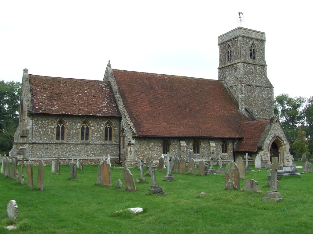
Dodnash Priory
Dodnash Priory was a small Augustinian priory located in Bentley, Suffolk, England, near the village's boundary with East Bergholt. It was situated close...

Manningtree railway station
Manningtree railway station is on the Great Eastern Main Line (GEML) in the East of England, serving the town of Manningtree, Essex. It is 59 miles 35...
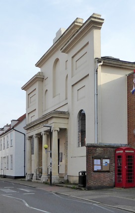
Corn Exchange, Manningtree
The Corn Exchange is a commercial building in the High Street in Manningtree, Essex, England. The structure, which is now used as a public library, is...
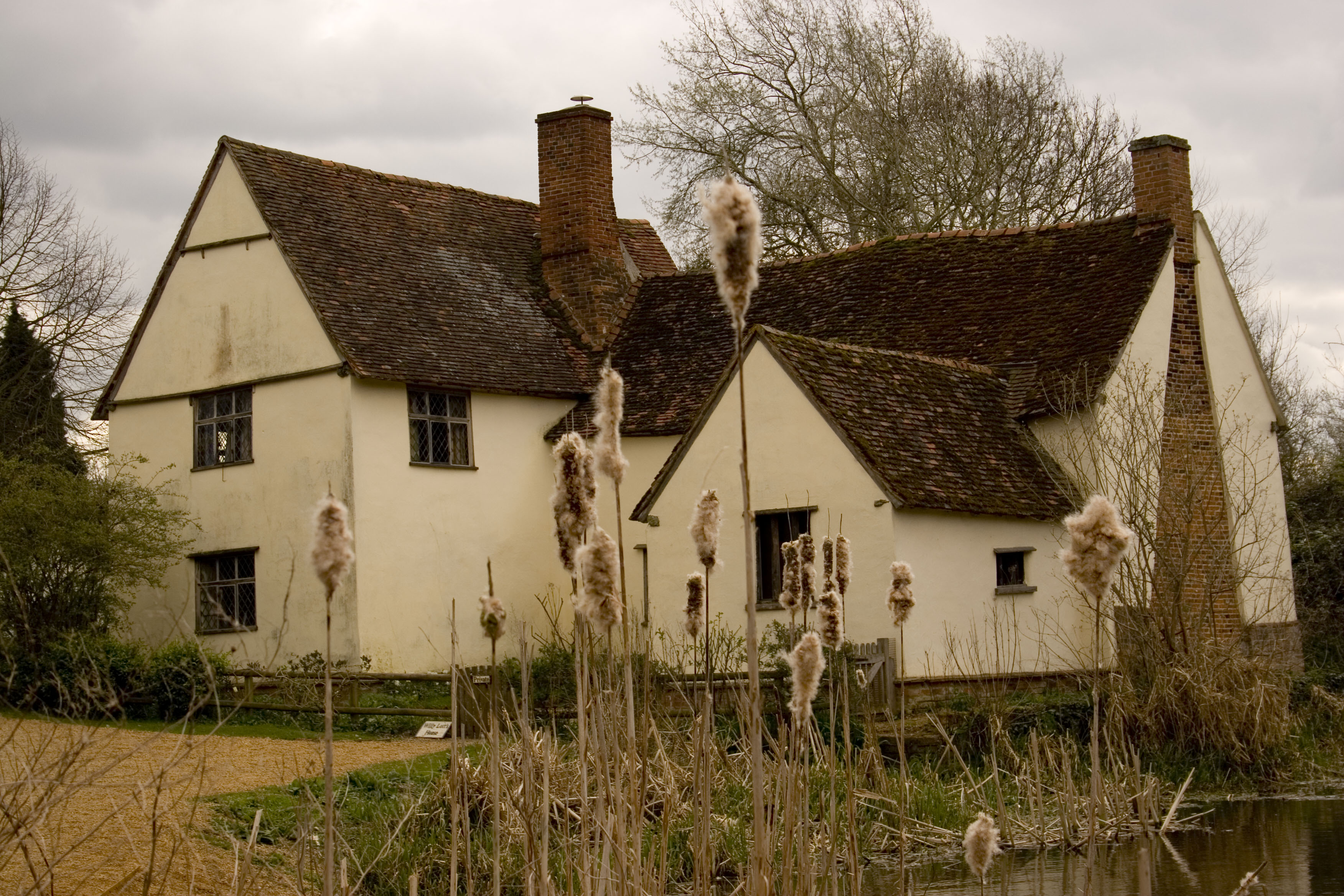
Willy Lott's Cottage
Willy Lott's Cottage is a house in Flatford, East Bergholt, Suffolk, England which appears in several paintings by John Constable, notably The Hay Wain...
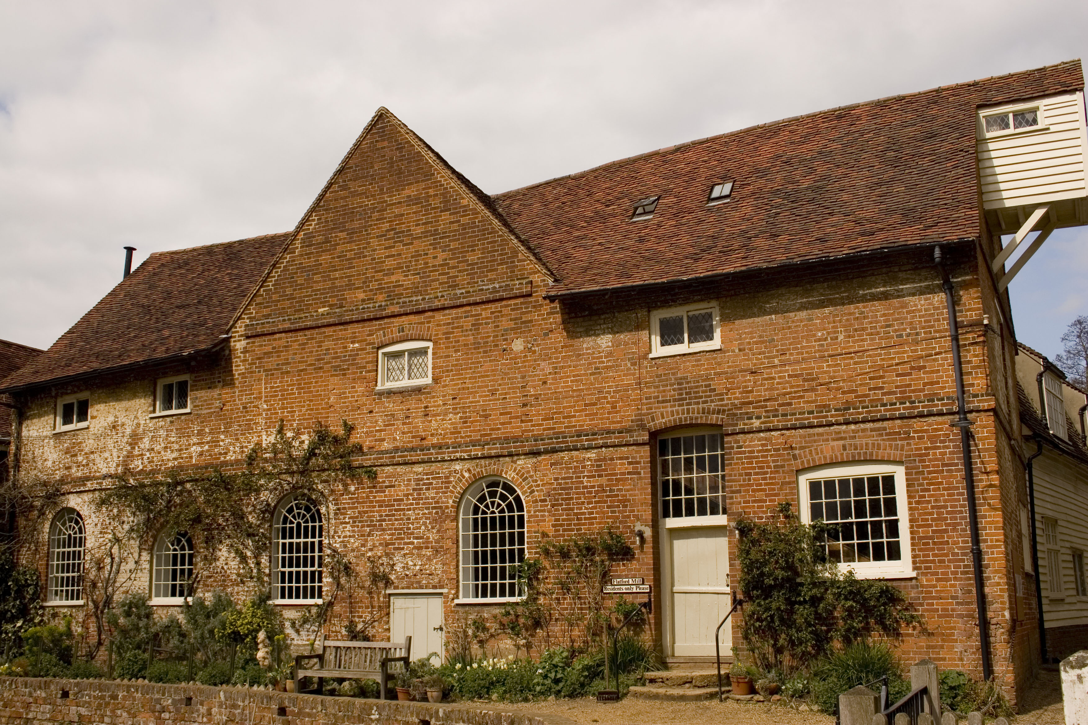
Flatford Mill
Flatford Mill is a Grade I listed watermill on the River Stour at Flatford in East Bergholt, Suffolk, England. According to the date-stone the mill was...
Nearby Amenities
Located within 500m of 51.964767,1.0540806Have you been to Braham Wood?
Leave your review of Braham Wood below (or comments, questions and feedback).