Four Wantz

Settlement in Essex Uttlesford

England

Four Wantz

House on High Easter Road, Mott's Green
House on High Easter Road, Mott's Green Credit: David Howard

Four Wantz is a small village located in the county of Essex, England. Situated approximately 30 miles northeast of London, it falls within the district of Brentwood. With a population of around 500 residents, it is a close-knit community known for its picturesque surroundings and historical charm.

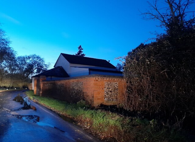
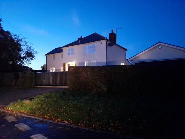
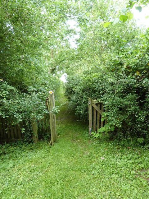
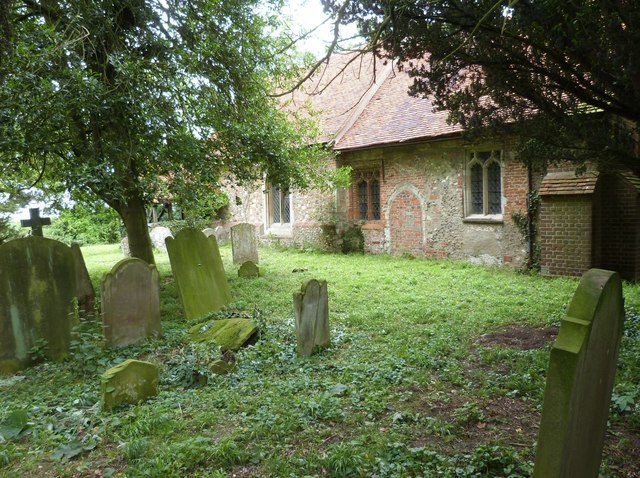
The village is characterized by its traditional English countryside, comprising of rolling hills, green fields, and quaint cottages. It is surrounded by farmland, which contributes to its rural atmosphere and offers stunning views of the surrounding countryside. The village is also home to a number of well-preserved historic buildings, including a 12th-century church, St. Peter's, which serves as a focal point for the community.

Despite its small size, Four Wantz boasts a strong sense of community spirit. It has a local village hall that serves as a hub for various social events and activities, bringing residents together. The village also has a primary school, providing education for the younger generation.

While Four Wantz is predominantly residential, it benefits from its proximity to larger towns. The nearby town of Brentwood offers a wider range of amenities, including shops, restaurants, and leisure facilities. The village is well-connected to the surrounding areas via road links, making it convenient for commuters.

Overall, Four Wantz is a charming village that offers a tranquil and idyllic setting for its residents. It is a place where tradition and community values are cherished, making it a desirable location for those seeking a peaceful English countryside lifestyle.

If you have any feedback on the listing, please let us know in the comments section below.
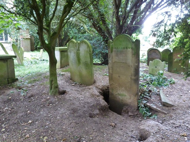
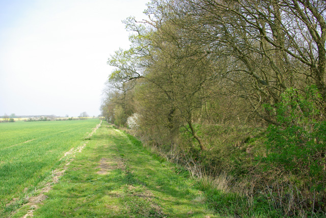
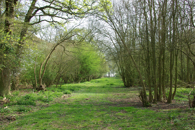
Four Wantz Images

Images are sourced within 2km of 51.774517/0.33218456 or Grid Reference TL6111. Thanks to Geograph Open Source API. All images are credited.

House on High Easter Road, Mott's Green
Souther Cross Road, Good Easter
School Road, Good Easter
Field by School Road, Good Easter
House on High Easter Road The garage has arrived since 2009
House on High Easter Road
The garage has arrived since 2009
House on High Easter Road
High Easter Road, Clatterford End
Houses on Mill Road, Good Easter
House on Mill Road, Good Easter
St Andrew's Church, Good Easter, Essex
Churchyard gate  and path, Berners Roding, Essex This path passes through the overgrown churchyard of All Saints Church. At least it was until it was deconsecrated in 1985. The path goes ahead alongside the buildings of Berners Hall Farm to join the roadway
Churchyard gate and path, Berners Roding, Essex
This path passes through the overgrown churchyard of All Saints Church. At least it was until it was deconsecrated in 1985. The path goes ahead alongside the buildings of Berners Hall Farm to join the roadway
All Saints Church, Berners Roding, Essex Constructed sometime during the 14th century in the tiny hamlet of Berners Roding (or Roothing in some historical references) It is one of nine Anglo Saxon settlements near the River Roding from which they all take their name.  All Saints once had a wooden belfry at its Western end and carried a single bell dated 1594, both now gone. The church fell into disuse probably because of its isolated location and was deconsecrated in 1985. The building is now in a poor structural state and privately owned, but the churchyard is under the care of "Epping Forest Countrycare".  For more information and some excellent interior pictures see <span class="nowrap"><a title="http://www.28dayslater.co.uk/all-saints-chruch-berners-roding-essex.t61284" rel="nofollow ugc noopener" href="http://www.28dayslater.co.uk/all-saints-chruch-berners-roding-essex.t61284">Link</a><img style="margin-left:2px;" alt="External link" title="External link - shift click to open in new window" src="https://s1.geograph.org.uk/img/external.png" width="10" height="10"/></span>
All Saints Church, Berners Roding, Essex
Constructed sometime during the 14th century in the tiny hamlet of Berners Roding (or Roothing in some historical references) It is one of nine Anglo Saxon settlements near the River Roding from which they all take their name. All Saints once had a wooden belfry at its Western end and carried a single bell dated 1594, both now gone. The church fell into disuse probably because of its isolated location and was deconsecrated in 1985. The building is now in a poor structural state and privately owned, but the churchyard is under the care of "Epping Forest Countrycare". For more information and some excellent interior pictures see LinkExternal link
The South wall and Churchyard of All Saints church, Berners Roding, Essex Berners Roding (or Roothing in some historical references) is one of nine Anglo Saxon settlements near the River Roding from which they all take their name. All Saints fell into disuse probably because of its isolated location and was deconsecrated in 1985. It is now privately owned and the churchyard under the care of Epping Forest Countrycare. For more information and some excellent interior pictures see <span class="nowrap"><a title="http://www.28dayslater.co.uk/all-saints-chruch-berners-roding-essex.t61284" rel="nofollow ugc noopener" href="http://www.28dayslater.co.uk/all-saints-chruch-berners-roding-essex.t61284">Link</a><img style="margin-left:2px;" alt="External link" title="External link - shift click to open in new window" src="https://s1.geograph.org.uk/img/external.png" width="10" height="10"/></span>
The South wall and Churchyard of All Saints church, Berners Roding, Essex
Berners Roding (or Roothing in some historical references) is one of nine Anglo Saxon settlements near the River Roding from which they all take their name. All Saints fell into disuse probably because of its isolated location and was deconsecrated in 1985. It is now privately owned and the churchyard under the care of Epping Forest Countrycare. For more information and some excellent interior pictures see LinkExternal link
Badger damage to the graves, All Saints churchyard, Berners Roding, Essex All Saints was the local parish church but was deconsecrated in 1985 and its graves are now apparently looked after by "Epping Forest Countrycare"
Badger damage to the graves, All Saints churchyard, Berners Roding, Essex
All Saints was the local parish church but was deconsecrated in 1985 and its graves are now apparently looked after by "Epping Forest Countrycare"
All Saints Church, Berners Roding, Essex
Path up west side of Berners Wood The wood has public paths all around it, but not through it.
Path up west side of Berners Wood
The wood has public paths all around it, but not through it.
Berners Wood An old wood, although not looking so. It appears, although not extending as far north, on the 1777 map of Chapman and Andre. It looks like coppice.
Berners Wood
An old wood, although not looking so. It appears, although not extending as far north, on the 1777 map of Chapman and Andre. It looks like coppice.
Ride, Berners Wood Extending from one side of the wood to the other.
Ride, Berners Wood
Extending from one side of the wood to the other.
Show me another place!

Four Wantz is located at Grid Ref: TL6111 (Lat: 51.774517, Lng: 0.33218456)

Administrative County: Essex

District: Uttlesford

Police Authority: Essex

What 3 Words

///tops.linked.minus. Near Writtle, Essex

Nearby Locations

Four Wantz

Related Wikis

Berners Roding

Berners Roding (pronounced Barnish) is a village and former civil parish, now in the parish of Abbess, Beauchamp and Berners Roding and the Epping Forest...

Margaret Roding

Margaret Roding is a village and civil parish in the Uttlesford district of Essex, England. The village is included in the eight hamlets and villages called...

Good Easter

Good Easter is a village and civil parish in the Chelmsford district of Essex, England. The village is 6 miles (10 km) northwest from the city and county...

Chalk End

Chalk End is a hamlet in the civil parish of Roxwell and the Chelmsford District of Essex, England. The hamlet is 1.5 miles (2.4 km) northwest from the...

Clatterford End, High Easter

Clatterford End is a hamlet partly in the High Easter civil parish of the Uttlesford district, and partly in the Good Easter parish of the Chelmsford district...

Leaden Roding

Leaden Roding is a village and civil parish in the Uttlesford district of Essex, England. The village is included in the eight hamlets and villages called...

Willingale, Essex

Willingale is a village and civil parish in the Epping Forest district of Essex, England. The civil parish also includes the village of Shellow Bowells...

Birds Green

Birds Green is a hamlet in the civil parish of Abbess, Beauchamp and Berners Roding and the Epping Forest district of Essex, England. The hamlet is within...

Nearby Amenities

Located within 500m of 51.774517,0.33218456
Bus Stop
Blue House Farm
Bus: yes
Naptan AtcoCode: 150002001017
Naptan Bearing: NW
Naptan CommonName: Blue House Farm
Naptan Indicator: o/s
Naptan Landmark: Blue House Farm
Naptan NaptanCode: esxatwap
Naptan Street: Chelmsford Road
Naptan Verified: no
Public Transport: platform
Source: naptan_import
Lat/Long: 51.7759234/0.334943
Bus Stop
Four Wantz
Bus: yes
Naptan AtcoCode: 150002001018
Naptan Bearing: NW
Naptan CommonName: Four Wantz
Naptan Crossing: Ongar Road
Naptan Indicator: NW-bound
Naptan Landmark: Four Wantz
Naptan NaptanCode: esxatwaw
Naptan Street: Chelmsford Road
Naptan Verified: no
Public Transport: platform
Source: naptan_import
Lat/Long: 51.7783702/0.3294732
Bus Stop
Four Wantz
Bus: yes
Naptan AtcoCode: 150002001019
Naptan Bearing: SE
Naptan CommonName: Four Wantz
Naptan Crossing: Ongar Road
Naptan Indicator: SE-bound
Naptan Landmark: Four Wantz
Naptan NaptanCode: esxatwda
Naptan Street: Chelmsford Road
Naptan Verified: no
Public Transport: platform
Source: naptan_import
Lat/Long: 51.7785145/0.3294516
Bus Stop
Blue House Farm
Bus: yes
Naptan AtcoCode: 150002001Y17
Naptan Bearing: SE
Naptan CommonName: Blue House Farm
Naptan Indicator: Opp
Naptan Landmark: Blue House Farm
Naptan NaptanCode: esxgpmjp
Naptan Street: Chelmsford Road
Naptan Verified: no
Public Transport: platform
Source: naptan_import
Lat/Long: 51.7759855/0.3349897
Crossing
Lat/Long: 51.7758825/0.3352191
The data included in this document is from www.openstreetmap.org. The data is made available under ODbL.

Have you been to Four Wantz?

Leave your review of Four Wantz below (or comments, questions and feedback).