Casu park
Wood, Forest in Norfolk Broadland
England
Casu park
Casu Park, located in Norfolk, is a picturesque woodland area that offers visitors a tranquil and immersive experience in nature. Spanning over a vast expanse, the park is known for its dense forest cover and diverse range of tree species. The park is predominantly made up of deciduous trees, such as oak, beech, and birch, which provide a stunning display of colors during the autumn months.
The park is home to a variety of wildlife, including deer, foxes, and a wide array of bird species. Birdwatchers can enjoy spotting species such as woodpeckers, owls, and various migratory birds throughout the year. The park also features several well-maintained walking trails that meander through the woods, allowing visitors to fully immerse themselves in the natural surroundings.
Casu Park is a popular destination for nature lovers, hikers, and families looking to escape the hustle and bustle of city life. The park offers ample opportunities for outdoor activities, such as picnicking, cycling, and wildlife photography. There are also designated areas for camping and barbecuing, making it an ideal location for a weekend getaway.
In addition to its natural beauty, Casu Park is also known for its conservation efforts. The park management actively works to preserve the delicate ecosystem and promote sustainable practices. Educational programs and guided tours are often organized to raise awareness about the importance of protecting the environment.
Overall, Casu Park in Norfolk is a haven for those seeking solace in nature. With its stunning woodland scenery, diverse wildlife, and range of outdoor activities, it offers a truly immersive experience for visitors of all ages.
If you have any feedback on the listing, please let us know in the comments section below.
Casu park Images
Images are sourced within 2km of 52.767628/1.1068436 or Grid Reference TG0923. Thanks to Geograph Open Source API. All images are credited.


Casu park is located at Grid Ref: TG0923 (Lat: 52.767628, Lng: 1.1068436)
Administrative County: Norfolk
District: Broadland
Police Authority: Norfolk
What 3 Words
///invents.respond.flippers. Near Reepham, Norfolk
Nearby Locations
Related Wikis
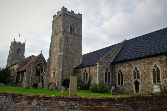
Reepham railway station (Norfolk)
Reepham (Norfolk) was a railway station in Reepham, Norfolk. It was opened in 1882 and closed to passengers in 1952 and finally shut to goods services...

Reepham, Norfolk
Reepham () is a market town and civil parish in the Broadland district of Norfolk, England. Reepham is situated on the B1145 road between the Bure and...
Reepham High School and College
Reepham High School and College is a secondary school and sixth form with academy status located in Reepham, Norfolk. The majority of the students live...

Pettywell
Pettywell is a hamlet within the a civil parish of Reepham in the English county of Norfolk. The hamlet is 8.3 miles (13.4 km) west south west of Aylsham...

Booton, Norfolk
Booton is a village and civil parish in the Broadland district of Norfolk, England, just east of Reepham and seven miles west of Aylsham. According to...

Booton Common
Booton Common'' is an 8.2-hectare (20-acre) biological Site of Special Scientific Interest north-west of Norwich in Norfolk. It is managed by the Norfolk...
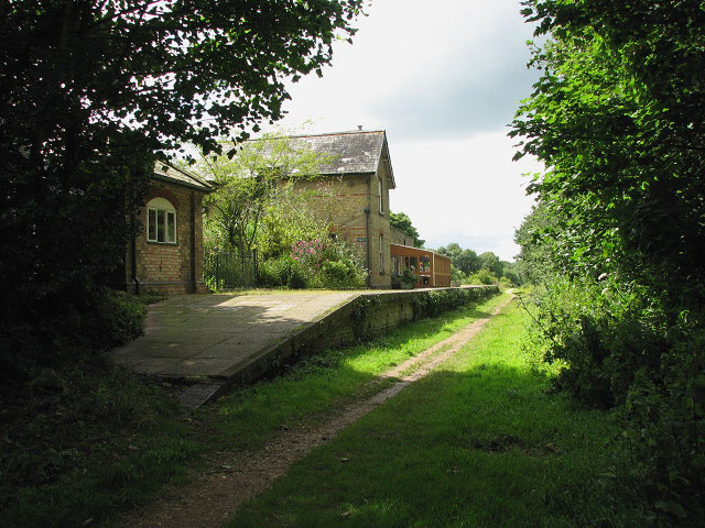
Whitwell & Reepham railway station
Whitwell and Reepham railway station, also known as Whitwell station, is a former station situated in Norfolk, England. The station closed in 1959 and...

Salle, Norfolk
Salle ( SAWL) is a small village and civil parish in the Broadland district, in the county of Norfolk, England. 1.5 miles (2.4 km) to the south is the...
Nearby Amenities
Located within 500m of 52.767628,1.1068436Have you been to Casu park?
Leave your review of Casu park below (or comments, questions and feedback).