Ash Plantation
Wood, Forest in Norfolk South Norfolk
England
Ash Plantation

The requested URL returned error: 500 Internal Server Error
If you have any feedback on the listing, please let us know in the comments section below.
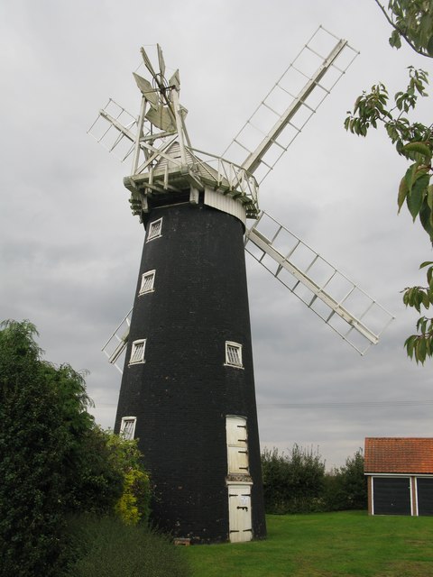
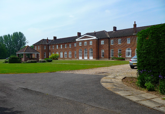
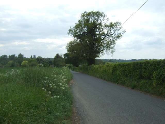
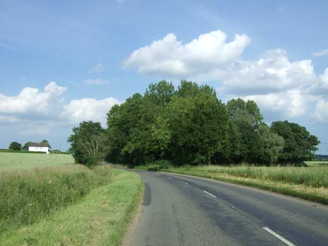
Ash Plantation Images
Images are sourced within 2km of 52.579614/1.0928885 or Grid Reference TG0902. Thanks to Geograph Open Source API. All images are credited.


Ash Plantation is located at Grid Ref: TG0902 (Lat: 52.579614, Lng: 1.0928885)
Administrative County: Norfolk
District: South Norfolk
Police Authority: Norfolk
What 3 Words
///tripled.musically.frock. Near Hethersett, Norfolk
Nearby Locations
Related Wikis

Wicklewood Roman Temple
Wicklewood Roman Temple is the site of a Romano-Celtic temple near Wicklewood and about 1.5 miles (2.4 km) north-west of Wymondham, in Norfolk, England...
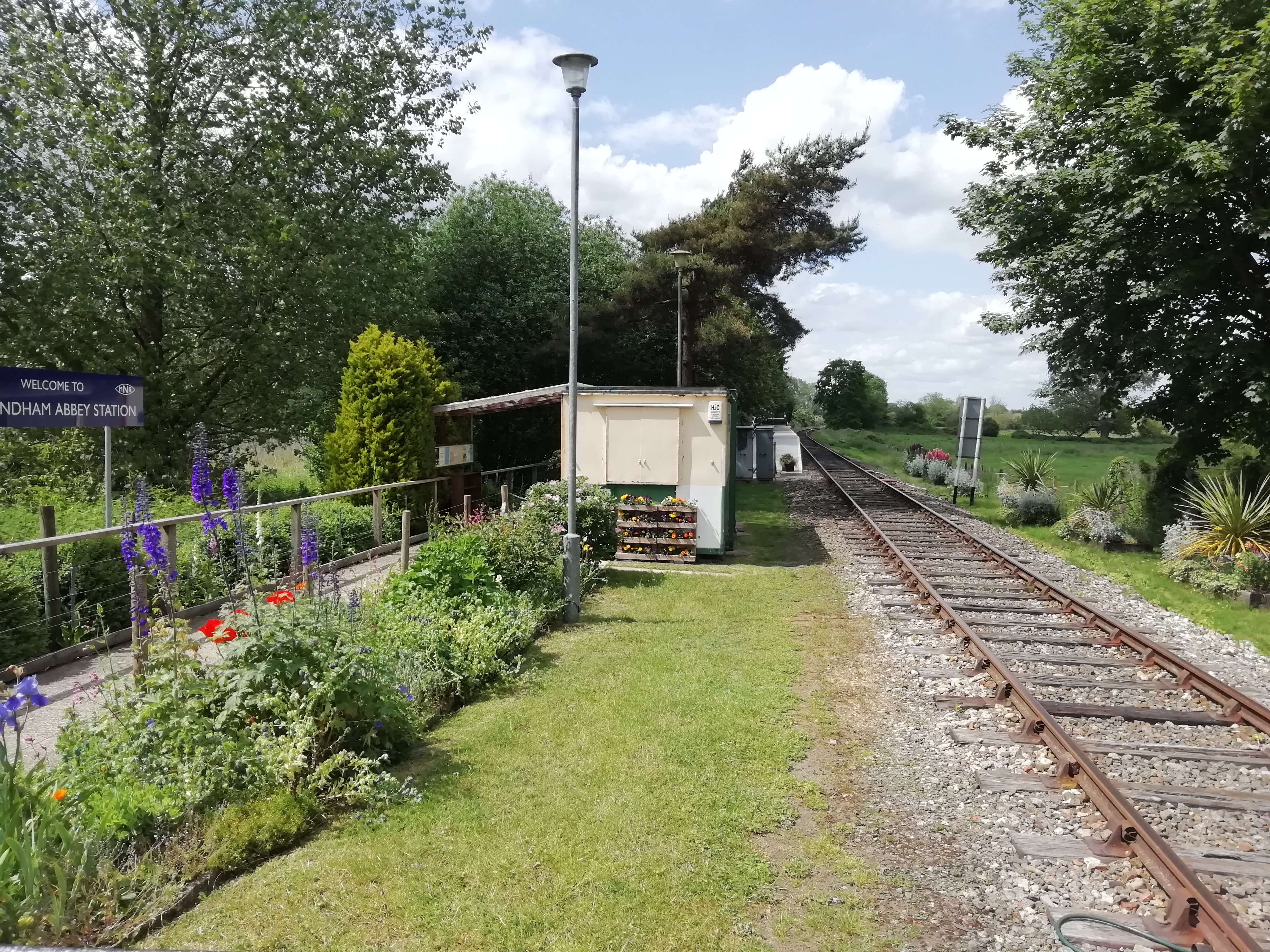
Wymondham Abbey railway station
Wymondham Abbey railway station is a railway station in the town of Wymondham in the English county of Norfolk. The station is served by heritage services...

Wymondham Abbey
Wymondham Abbey (pronounced Windum) is the Anglican parish church for the town of Wymondham in Norfolk, England. == History == The monastery was founded...

Wymondham High Academy
Wymondham High Academy is a state-funded co-educational academy school in the English county of Norfolk It can be found near the centre of the town of...

Wymondham Bridewell
Wymondham Bridewell was the local prison or bridewell in Wymondham, Norfolk. The site was in use as a prison from as early as 1619. The present, grade...
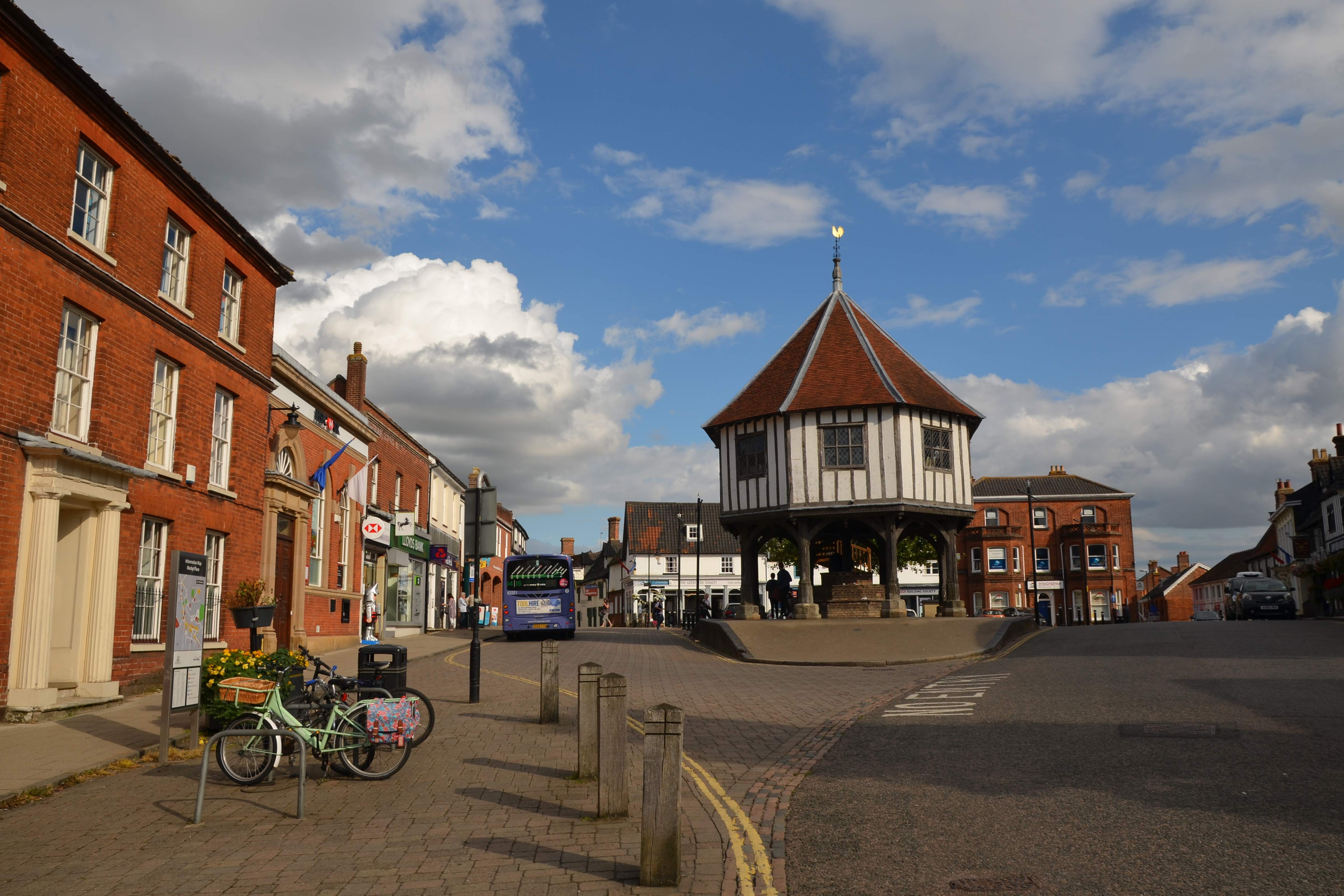
Wymondham
Wymondham ( WIN-dəm) is a market town and civil parish in the South Norfolk district of Norfolk, England, 12 miles (19 km) south-west of Norwich off the...
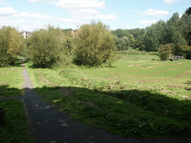
Toll's Meadow, Wymondham
Toll's Meadow, Wymondham is a 1.7-hectare (4.2-acre) Local Nature Reserve in Wymondham in Norfolk. It is owned by Wymondham Town Council and managed by...
Wymondham Junction railway station
Wymondham Junction railway station is a proposed railway station on the preserved heritage Mid-Norfolk Railway in the English county of Norfolk. The...
Nearby Amenities
Located within 500m of 52.579614,1.0928885Have you been to Ash Plantation?
Leave your review of Ash Plantation below (or comments, questions and feedback).