Deal Plantation
Wood, Forest in Norfolk South Norfolk
England
Deal Plantation

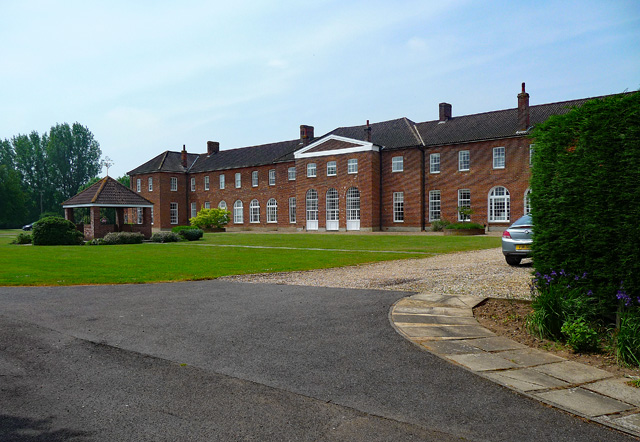
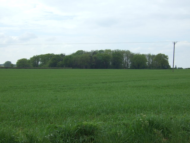
Deal Plantation is a picturesque woodland area located in Norfolk, England. Situated near the village of Wood, this plantation covers a vast expanse of land and is known for its scenic beauty and diverse flora and fauna.
The plantation is characterized by a dense forest canopy, comprised of a variety of tree species including oak, beech, and pine, among others. This diverse mix of trees creates a thriving ecosystem, providing a habitat for numerous wildlife species. Visitors to the plantation can expect to spot various birds, such as woodpeckers, jays, and owls, as well as small mammals like foxes, rabbits, and squirrels.
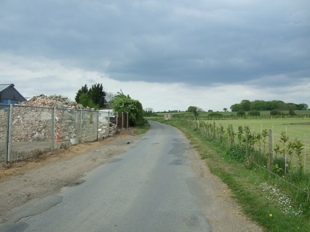
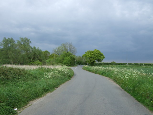
The woodland is crisscrossed by well-maintained walking trails, allowing visitors to explore the plantation at their own pace. These pathways offer stunning views of the surrounding countryside and provide an opportunity to immerse oneself in nature. The plantation is particularly popular among nature enthusiasts, hikers, and photographers, who are drawn to its tranquil ambiance and natural beauty.
Moreover, Deal Plantation is also home to a rich history. It is believed to have been originally established in the 17th century, and remnants of its past can still be seen today. The plantation has been carefully managed over the years, striking a balance between preservation and accessibility for visitors.
In conclusion, Deal Plantation in Norfolk is a captivating woodland area that offers a serene escape into nature. With its diverse range of trees, abundant wildlife, and well-maintained trails, it provides an ideal setting for outdoor enthusiasts and nature lovers to explore and appreciate the beauty of the English countryside.
If you have any feedback on the listing, please let us know in the comments section below.
Deal Plantation Images
Images are sourced within 2km of 52.573068/1.0904642 or Grid Reference TG0901. Thanks to Geograph Open Source API. All images are credited.


Deal Plantation is located at Grid Ref: TG0901 (Lat: 52.573068, Lng: 1.0904642)
Administrative County: Norfolk
District: South Norfolk
Police Authority: Norfolk
What 3 Words
///processes.singled.punch. Near Hethersett, Norfolk
Nearby Locations
Related Wikis
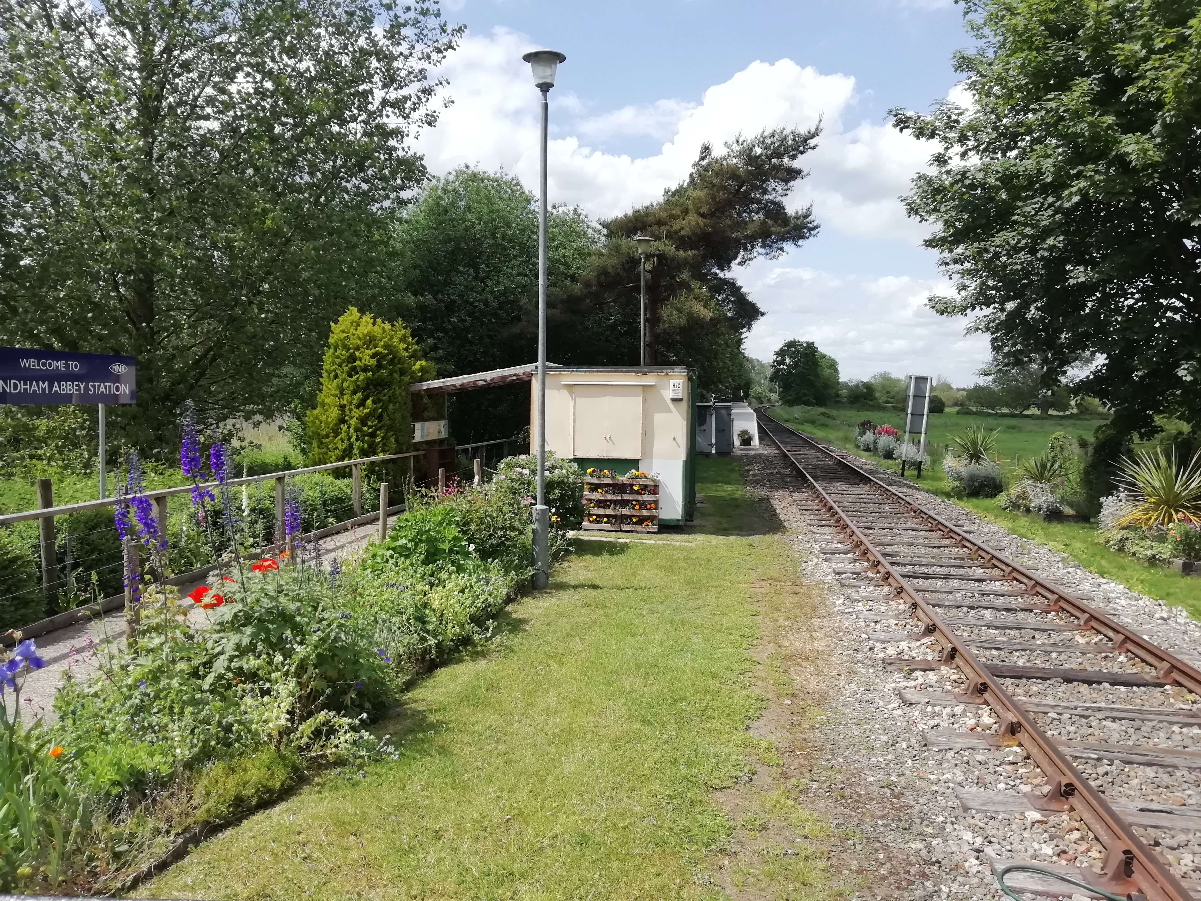
Wymondham Abbey railway station
Wymondham Abbey railway station is a railway station in the town of Wymondham in the English county of Norfolk. The station is served by heritage services...

Wymondham Abbey
Wymondham Abbey (pronounced Windum) is the Anglican parish church for the town of Wymondham in Norfolk, England. == History == The monastery was founded...

Wicklewood Roman Temple
Wicklewood Roman Temple is the site of a Romano-Celtic temple near Wicklewood and about 1.5 miles (2.4 km) north-west of Wymondham, in Norfolk, England...
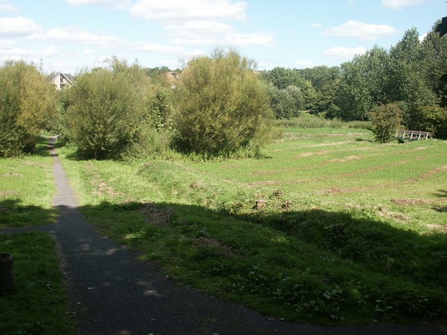
Toll's Meadow, Wymondham
Toll's Meadow, Wymondham is a 1.7-hectare (4.2-acre) Local Nature Reserve in Wymondham in Norfolk. It is owned by Wymondham Town Council and managed by...

Wymondham Junction railway station
Wymondham Junction railway station is a proposed railway station on the preserved heritage Mid-Norfolk Railway in the English county of Norfolk. The...
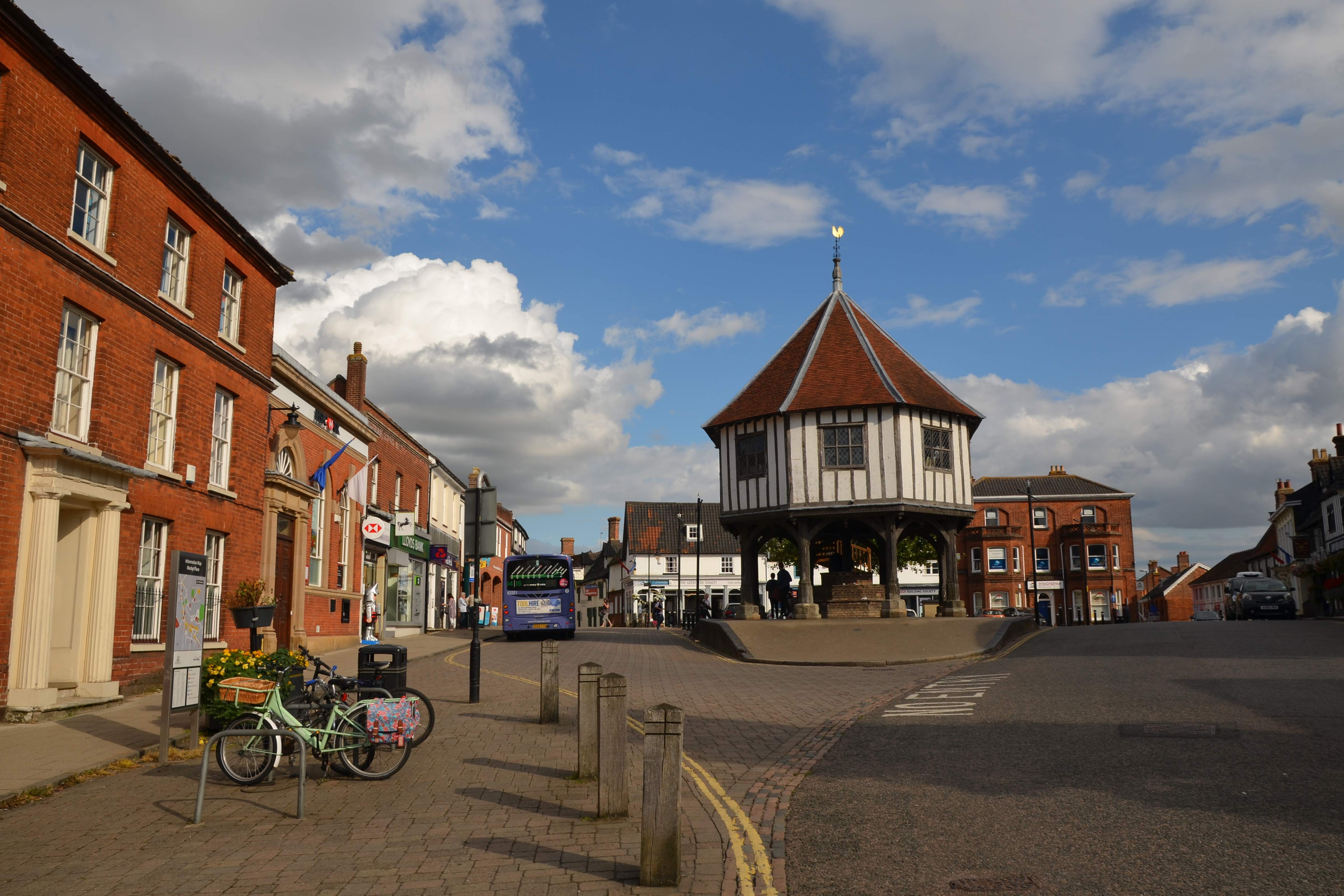
Wymondham
Wymondham ( WIN-dəm) is a market town and civil parish in the South Norfolk district of Norfolk, England, 12 miles (19 km) south-west of Norwich off the...

Wymondham Bridewell
Wymondham Bridewell was the local prison or bridewell in Wymondham, Norfolk. The site was in use as a prison from as early as 1619. The present, grade...
Wymondham High Academy
Wymondham High Academy is a state-funded co-educational academy school in the English county of Norfolk It can be found near the centre of the town of...
Have you been to Deal Plantation?
Leave your review of Deal Plantation below (or comments, questions and feedback).