Fright Wood
Wood, Forest in Kent Canterbury
England
Fright Wood
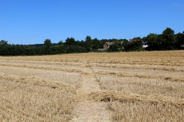
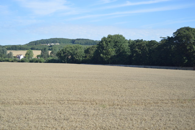
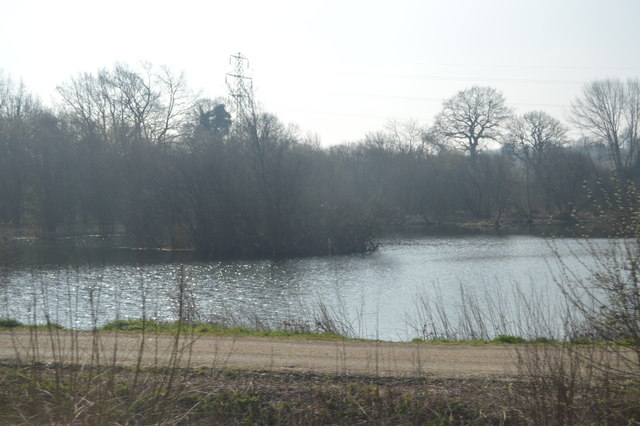
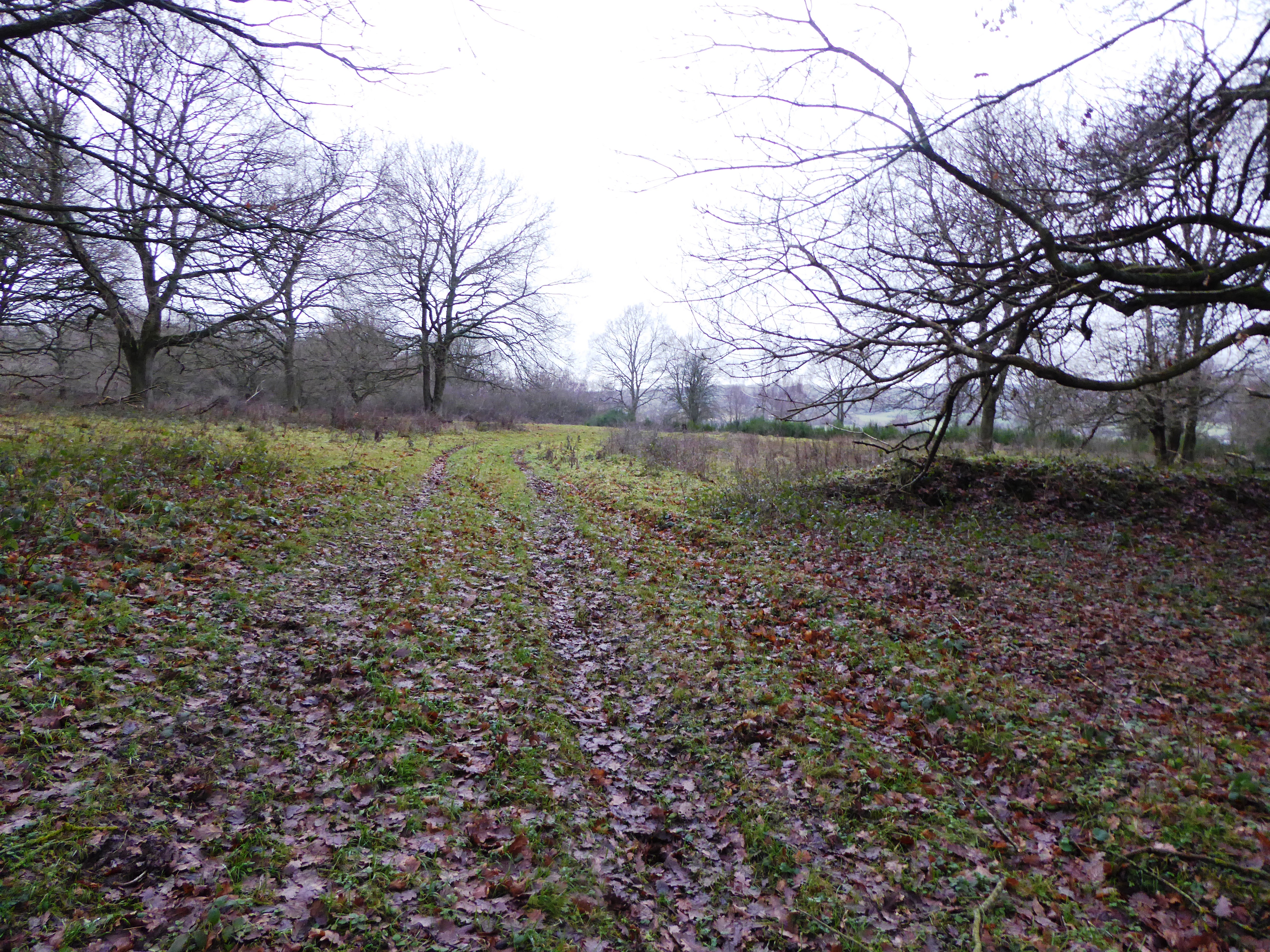
Fright Wood is a picturesque forest located in the county of Kent, England. Spanning an area of approximately 100 acres, this woodland is renowned for its natural beauty and tranquil atmosphere. It lies just a few miles outside the charming village of Kenton, making it easily accessible for both locals and visitors.
The forest is predominantly composed of native broadleaf trees, including oak, beech, and ash, which create a dense and enchanting canopy overhead. The lush undergrowth is home to an array of flora and fauna, with bluebells, wild garlic, and ferns carpeting the forest floor during the spring and summer months.
Fright Wood is a paradise for nature lovers and outdoor enthusiasts alike. It offers numerous walking trails, allowing visitors to explore the forest and immerse themselves in its serene ambiance. Birdwatchers are often delighted by the variety of avian species that call Fright Wood home, including woodpeckers, owls, and various migratory birds.
The woodland is also steeped in history, with evidence of human activity dating back centuries. Archaeological finds, such as ancient burial mounds and remnants of old settlements, hint at the long-standing connection between people and this magical forest.
Fright Wood is open to the public throughout the year, and its peaceful surroundings make it an ideal destination for a leisurely stroll, a family picnic, or simply a place to escape the hustle and bustle of everyday life. It truly is a hidden gem within the beautiful countryside of Kent.
If you have any feedback on the listing, please let us know in the comments section below.
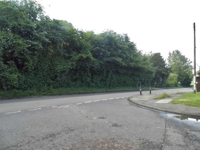
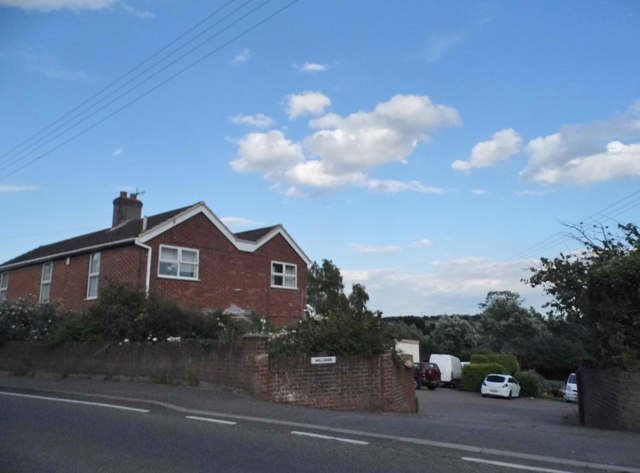
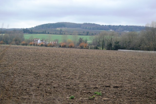
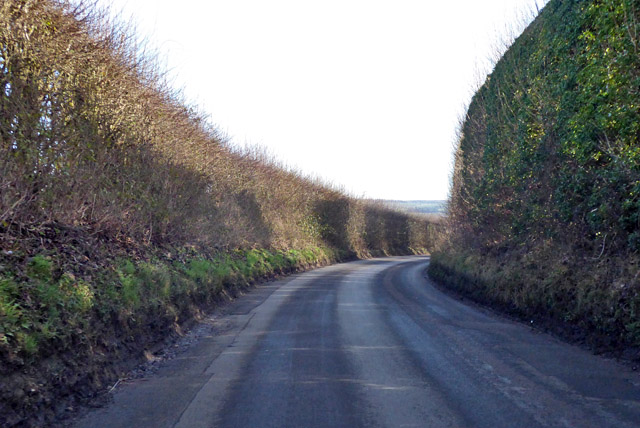
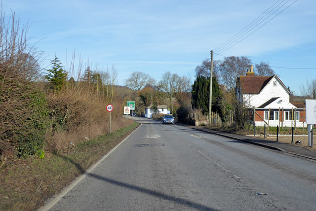
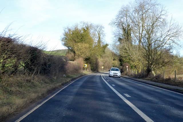
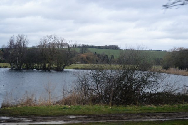
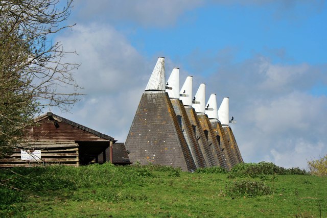
Fright Wood Images
Images are sourced within 2km of 51.267225/1.0011144 or Grid Reference TR0956. Thanks to Geograph Open Source API. All images are credited.


Fright Wood is located at Grid Ref: TR0956 (Lat: 51.267225, Lng: 1.0011144)
Administrative County: Kent
District: Canterbury
Police Authority: Kent
What 3 Words
///subsystem.pirates.flippers. Near Chartham, Kent
Nearby Locations
Related Wikis

South Blean
South Blean is a 329-hectare (810-acre) nature reserve near Chartham Hatch, west of Canterbury in Kent. It is owned and managed by the Kent Wildlife Trust...

No Man's Orchard
No Man's Orchard is a 4.1-hectare (10-acre) Local Nature Reserve west of Canterbury in Kent. It is owned by Chartham and Harbledown Parish Councils and...

Chartham railway station
Chartham railway station is in Chartham, Kent, on the Ashford to Ramsgate line. The station, and all trains serving it, is operated by Southeastern....

Church of St Mary, Chartham
St Mary's Church is in the village of Chartham, Kent, England. It is an active Anglican parish church in the Diocese of Canterbury. Constructed between...

Bigbury Camp
Bigbury Camp (formerly Bigberry Camp) is a univallate hill fort in the parish of Harbledown and Rough Common in Kent in England. The fort is a Scheduled...
Broadham Down
Broadham Down is a 16-hectare (40-acre) nature reserve east of Chilham and west of Canterbury in Kent. It is managed by the Kent Wildlife Trust.This nature...
Chartham
Chartham is a village and civil parish in the Canterbury district of Kent, England. It is situated on the Ashford side of the city, and is in the North...

Upper Harbledown
Upper Harbledown is a village in Harbledown and Rough Common civil parish about 2 miles (3 km) west of Canterbury, Kent, England. The population is roughly...
Nearby Amenities
Located within 500m of 51.267225,1.0011144Have you been to Fright Wood?
Leave your review of Fright Wood below (or comments, questions and feedback).