Cross Path Plantation

Wood, Forest in Suffolk Mid Suffolk

England

Cross Path Plantation

Lay-by on B1113 South of Needham Market
Lay-by on B1113 South of Needham Market Credit: Sandy Gerrard

Cross Path Plantation is a picturesque wood located in Suffolk, England. Nestled within a sprawling forest, this idyllic plantation offers visitors a tranquil escape from the hustle and bustle of everyday life.

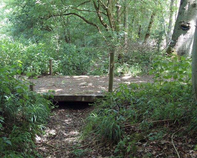
Covering an expansive area, Cross Path Plantation is home to a diverse range of trees, including oak, beech, and ash. The woodland floor is adorned with a carpet of wildflowers, creating a vibrant and colorful landscape. The plantation also boasts a meandering stream that adds to the natural beauty of the area.

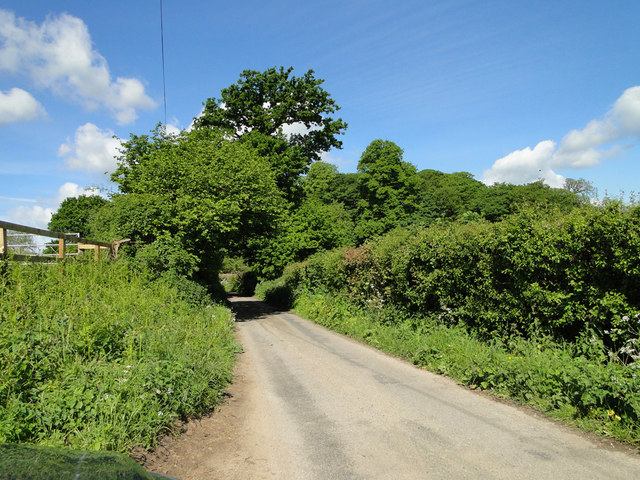
Visitors to Cross Path Plantation can enjoy an array of outdoor activities. Walking trails wind through the wood, offering opportunities for leisurely strolls or challenging hikes. Nature enthusiasts will delight in the abundance of wildlife that calls this woodland home, including deer, birds, and various small mammals.

The plantation is also a popular spot for picnics and family outings. There are designated areas with benches and tables where visitors can relax and enjoy the serene surroundings. Additionally, children can explore the natural playground that the woodland provides, climbing trees and discovering hidden treasures.

For those interested in history, Cross Path Plantation has a fascinating past. It was once a part of an extensive estate and played a significant role in the local timber industry. The remnants of old structures and sawmills can still be seen, offering glimpses into the area's rich heritage.

Overall, Cross Path Plantation is a verdant haven that offers a peaceful retreat for nature lovers and history enthusiasts alike. Its breathtaking beauty and diverse ecosystem make it a must-visit destination in Suffolk.

If you have any feedback on the listing, please let us know in the comments section below.

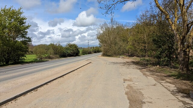
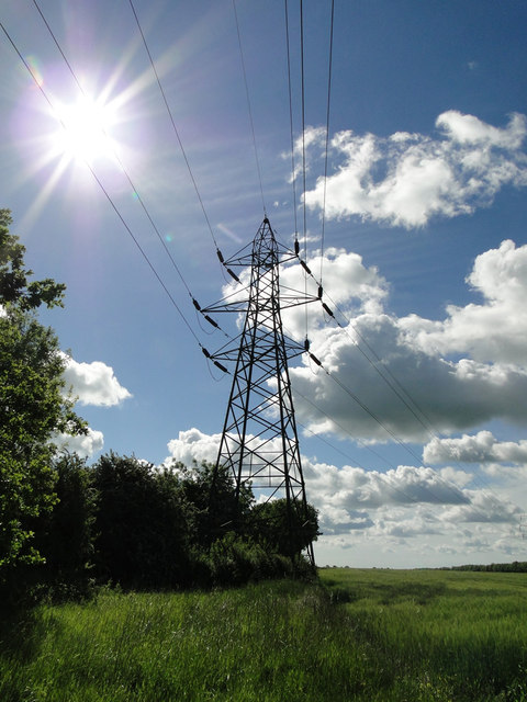
Cross Path Plantation Images

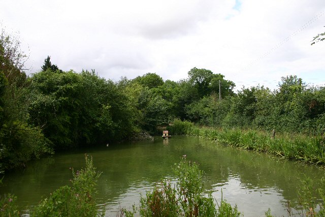
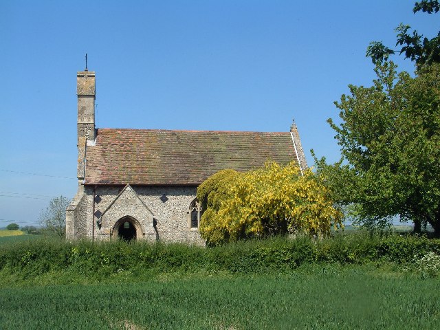
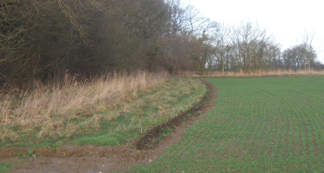
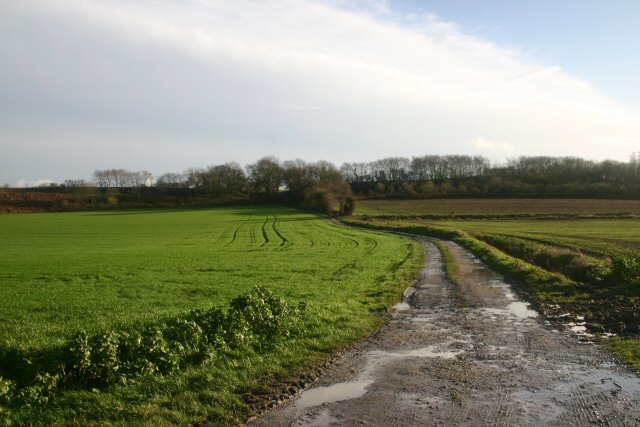
Images are sourced within 2km of 52.128668/1.0582545 or Grid Reference TM0952. Thanks to Geograph Open Source API. All images are credited.

Lay-by on B1113 South of Needham Market
Footpath to Priestley Wood This is the footpath that leads to the Woodland Trust's Priestley Wood from the B1078 between Barking and Needham Market. 

This semi-natural ancient woodland is believed to be part of a forest which covered most of East Anglia in prehistoric times, see <span class="nowrap"><a title="http://frontpage.woodland-trust.org.uk/ancient-tree-forum/atfscapes/focus/suffolk.htm" rel="nofollow ugc noopener" href="http://frontpage.woodland-trust.org.uk/ancient-tree-forum/atfscapes/focus/suffolk.htm">Link</a><img style="margin-left:2px;" alt="External link" title="External link - shift click to open in new window" src="https://s1.geograph.org.uk/img/external.png" width="10" height="10"/></span> and <span class="nowrap"><a title="http://www.woodlandtrust.org.uk/en/our-woods/Pages/about-this-wood.aspx?wood=4429" rel="nofollow ugc noopener" href="http://www.woodlandtrust.org.uk/en/our-woods/Pages/about-this-wood.aspx?wood=4429">Link</a><img style="margin-left:2px;" alt="External link" title="External link - shift click to open in new window" src="https://s1.geograph.org.uk/img/external.png" width="10" height="10"/></span>
Footpath to Priestley Wood
This is the footpath that leads to the Woodland Trust's Priestley Wood from the B1078 between Barking and Needham Market. This semi-natural ancient woodland is believed to be part of a forest which covered most of East Anglia in prehistoric times, see LinkExternal link and LinkExternal link
Priestly Wood information board This board is at the end of the footpath in <a href="https://www.geograph.org.uk/photo/2435603">TM0753 : Footpath to Priestley Wood</a>, and the beginning of the wood proper.
Priestly Wood information board
This board is at the end of the footpath in TM0753 : Footpath to Priestley Wood, and the beginning of the wood proper.
Green Lane, Priestley Wood
Rusting crane Evolution seems to have left this dinosaur behind, from footpath in Priestley Wood
Rusting crane
Evolution seems to have left this dinosaur behind, from footpath in Priestley Wood
Footbridge over dry stream, Priestley Wood The lack of rainfall in spring 2011 has dried out this channel in Priestley Wood.
Footbridge over dry stream, Priestley Wood
The lack of rainfall in spring 2011 has dried out this channel in Priestley Wood.
B1078 into Needham Market
B1078 north of Kennels Farm The smaller scale O/S maps don't show the s on Kennels.
B1078 north of Kennels Farm
The smaller scale O/S maps don't show the s on Kennels.
Arable land, near Parkwood House, Barking As seen from the B1078 road.
Arable land, near Parkwood House, Barking
As seen from the B1078 road.
Pylon and cables crossing B1078 south-west of Needham Market
Solar Power
Solar Power
High roadside hedges near Baylham Common
Field View from Hither Longfield Triangulation Pillar Looking north-westward.
Field View from Hither Longfield Triangulation Pillar
Looking north-westward.
Bridleway to Great Blakenham This bridleway leads eastwards from near Hill Top Farm.
Bridleway to Great Blakenham
This bridleway leads eastwards from near Hill Top Farm.
Duck pond at Walnut Tree Farm, Baylham This farm is situated on a minor road between the B1113 and the village of Nettlestead.
Duck pond at Walnut Tree Farm, Baylham
This farm is situated on a minor road between the B1113 and the village of Nettlestead.
Baylham Mill This disused mill lies on the River Gipping.  It is now a private dwelling.
Baylham Mill
This disused mill lies on the River Gipping. It is now a private dwelling.
Footpath to River Gipping The path runs through a low bridge under the railway embankment.  The railway is the main line between London and Norwich.
Footpath to River Gipping
The path runs through a low bridge under the railway embankment. The railway is the main line between London and Norwich.
Private track at Baylham This tarmac track leads to a pit owned by Lafarge Aggregates.
Private track at Baylham
This tarmac track leads to a pit owned by Lafarge Aggregates.
Show me another place!

Cross Path Plantation is located at Grid Ref: TM0952 (Lat: 52.128668, Lng: 1.0582545)

Administrative County: Suffolk

District: Mid Suffolk

Police Authority: Suffolk

What 3 Words

///hope.campsites.elated. Near Needham Market, Suffolk

Related Wikis

Baylham

Baylham is a village and civil parish, 1,349 acres size, in the Mid Suffolk district of Suffolk, England, about 7 miles (11 km) northwest of Ipswich and...

Darmsden

Darmsden is a hamlet and civil parish in the Mid Suffolk district of Suffolk, England. Located near the A14 road around 2 kilometres (1 mi) south of the...

Bonny Wood

Bonny Wood is a 20 hectare nature reserve east of Barking Tye in Suffolk. It is managed by the Suffolk Wildlife Trust. The site is part of the Barking...

Barking Woods

Barking Woods is a 98.7-hectare (244-acre) biological Site of Special Scientific Interest in six separate blocks north-east of Ipswich in Suffolk. Part...

Nearby Amenities

Located within 500m of 52.128668,1.0582545
Power: tower
Lat/Long: 52.1292106/1.0588715
Power: tower
Lat/Long: 52.1254233/1.0625515
Power: tower
Lat/Long: 52.1315271/1.0566266
Power: tower
Lat/Long: 52.126879/1.061146
The data included in this document is from www.openstreetmap.org. The data is made available under ODbL.

Have you been to Cross Path Plantation?

Leave your review of Cross Path Plantation below (or comments, questions and feedback).