Dunning Shaw
Wood, Forest in Kent Canterbury
England
Dunning Shaw

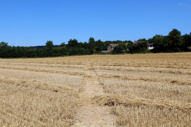
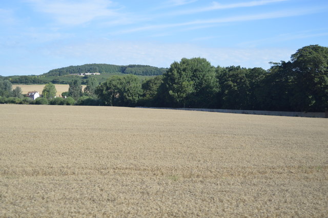
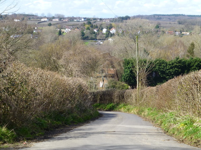
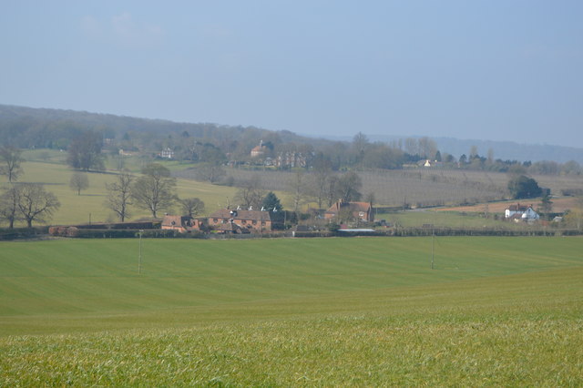
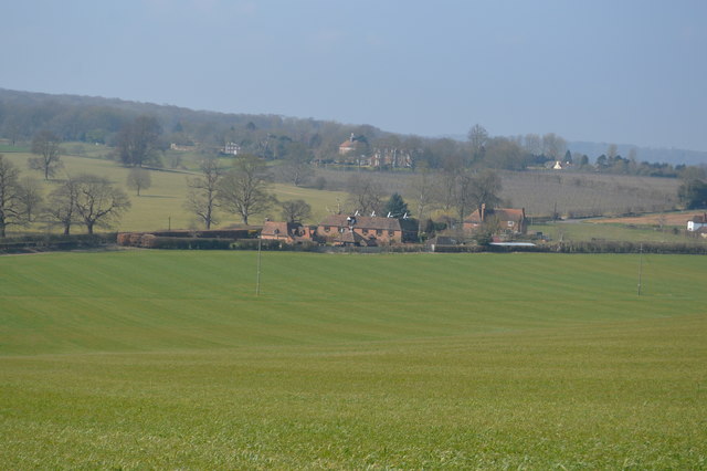
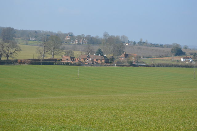
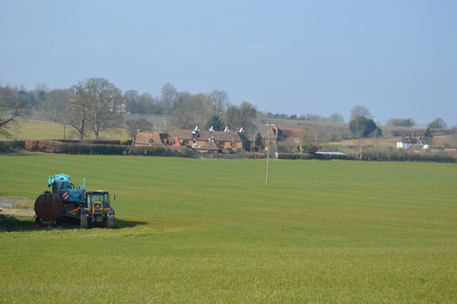
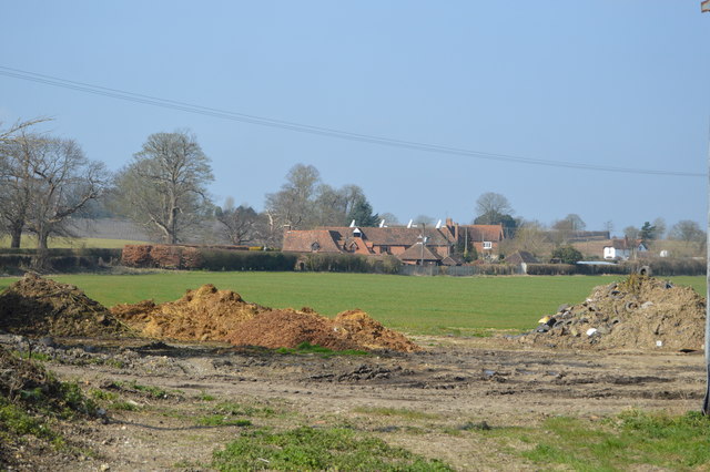
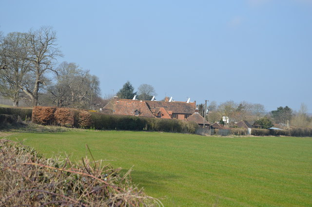
Dunning Shaw is a small village located in the county of Kent, in the southeastern part of England. Situated in the Wood, Forest district, it is surrounded by lush greenery and natural beauty. The village is known for its tranquil and idyllic setting, making it a popular destination for nature lovers and those seeking a peaceful retreat.
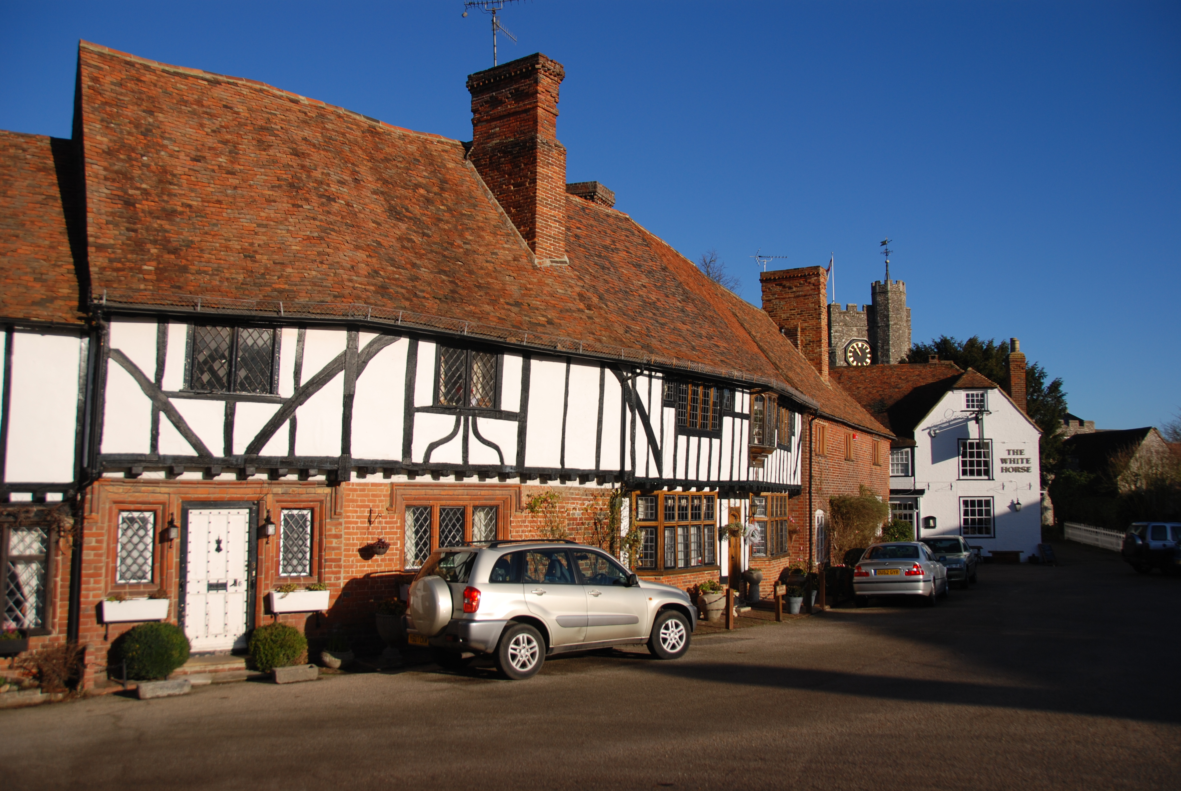
The village itself is characterized by its charming cottages and traditional architecture, giving it a quaint and picturesque feel. The local community is tight-knit, with a population of approximately 500 residents. The village has a strong sense of community spirit, and regular events and activities are organized to bring the locals together.
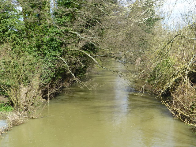
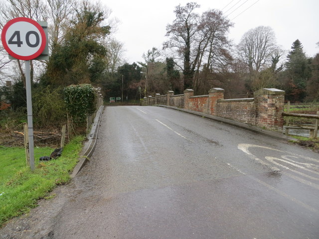
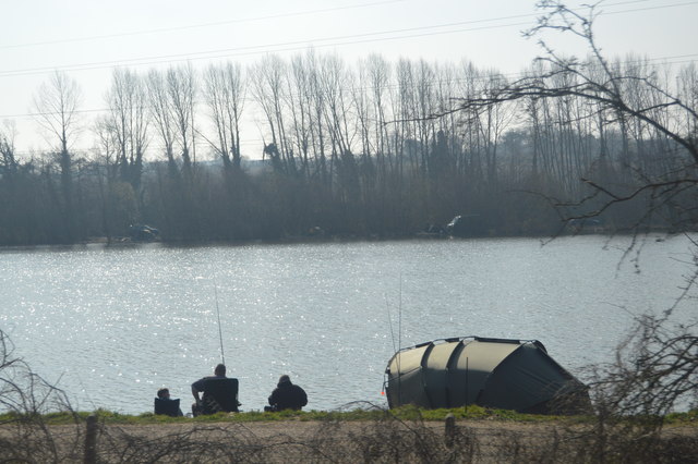
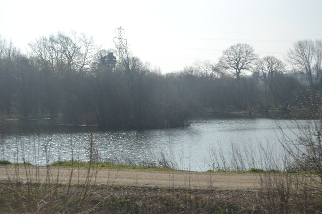
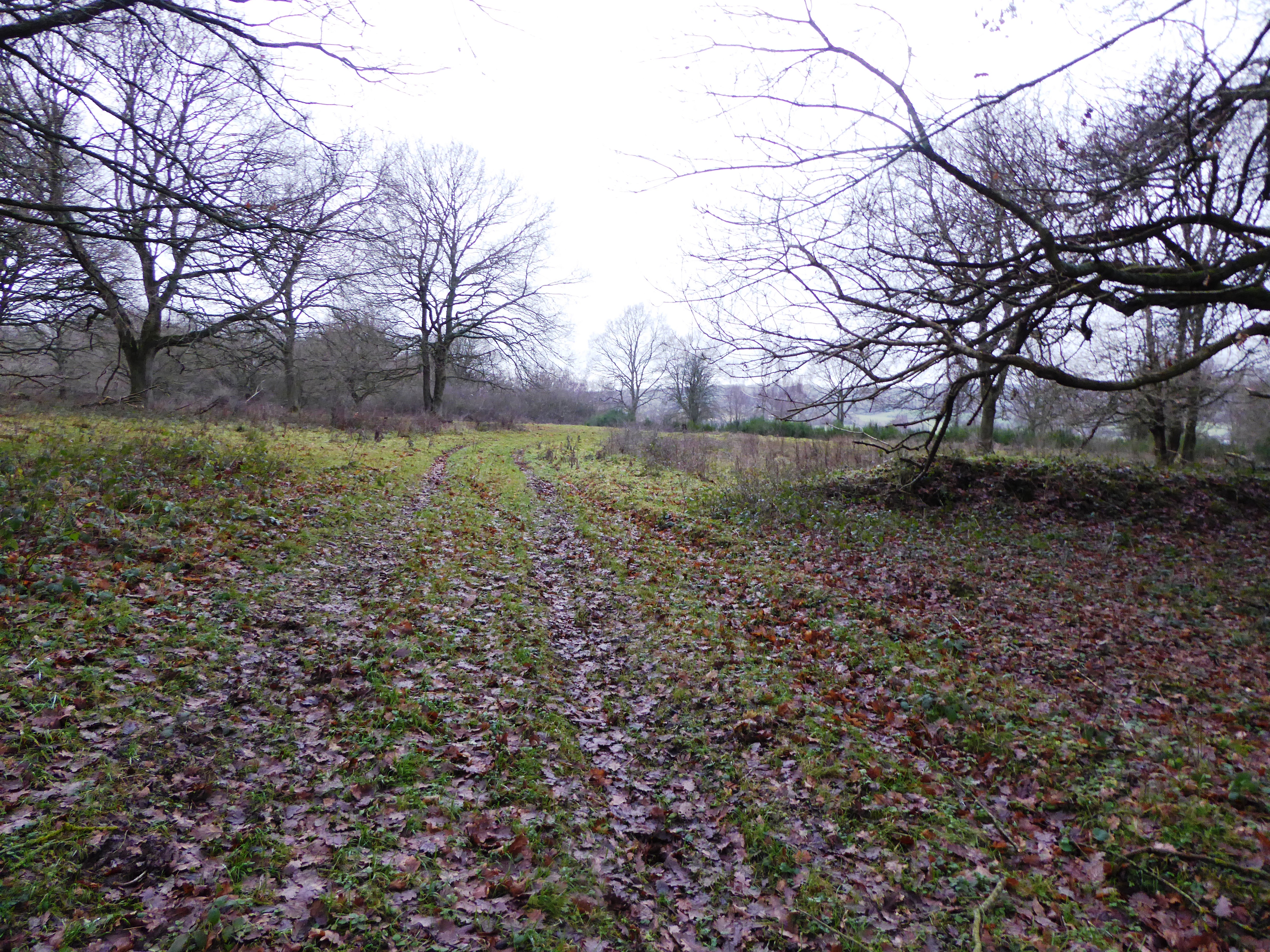
One of the notable features of Dunning Shaw is its proximity to several woodland areas, which provide ample opportunities for outdoor pursuits such as hiking, cycling, and birdwatching. The surrounding forests are home to a diverse range of flora and fauna, making it a haven for nature enthusiasts.
Despite its rural setting, Dunning Shaw is conveniently located near major transport links, with good road connections to nearby towns and cities. This allows residents to easily access amenities and services in the wider area.
In terms of facilities, the village boasts a local pub, a village hall, and a primary school. There are also several shops and amenities within a short drive, ensuring that the essential needs of the residents are met.
Overall, Dunning Shaw offers a peaceful and scenic lifestyle, with its beautiful surroundings and strong sense of community making it an appealing place to live or visit.
If you have any feedback on the listing, please let us know in the comments section below.
Dunning Shaw Images
Images are sourced within 2km of 51.261492/0.99493474 or Grid Reference TR0955. Thanks to Geograph Open Source API. All images are credited.


Dunning Shaw is located at Grid Ref: TR0955 (Lat: 51.261492, Lng: 0.99493474)
Administrative County: Kent
District: Canterbury
Police Authority: Kent
What 3 Words
///obvious.waiters.unearthly. Near Chartham, Kent
Nearby Locations
Related Wikis

South Blean
South Blean is a 329-hectare (810-acre) nature reserve near Chartham Hatch, west of Canterbury in Kent. It is owned and managed by the Kent Wildlife Trust...

Chartham railway station
Chartham railway station is in Chartham, Kent, on the Ashford to Ramsgate line. The station, and all trains serving it, is operated by Southeastern....

Church of St Mary, Chartham
St Mary's Church is in the village of Chartham, Kent, England. It is an active Anglican parish church in the Diocese of Canterbury. Constructed between...
Broadham Down
Broadham Down is a 16-hectare (40-acre) nature reserve east of Chilham and west of Canterbury in Kent. It is managed by the Kent Wildlife Trust.This nature...

Chilham railway station
Chilham railway station is a railway station in Chilham, Kent. It is on the Ashford to Ramsgate line between Ashford International and Canterbury West...

No Man's Orchard
No Man's Orchard is a 4.1-hectare (10-acre) Local Nature Reserve west of Canterbury in Kent. It is owned by Chartham and Harbledown Parish Councils and...

Julliberrie's Grave
Julliberrie's Grave, also known as The Giant's Grave or The Grave, is an unchambered long barrow located near to the village of Chilham in the south-eastern...
Chilham
Chilham is a mostly agricultural village and parish in the English county of Kent with a clustered settlement, Chilham village centre, in the northeast...
Nearby Amenities
Located within 500m of 51.261492,0.99493474Have you been to Dunning Shaw?
Leave your review of Dunning Shaw below (or comments, questions and feedback).