Further Grove
Wood, Forest in Norfolk Broadland
England
Further Grove
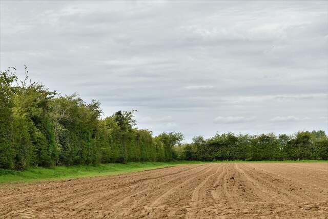
Further Grove is a picturesque woodland located in Norfolk, England. Covering an expansive area, it is renowned for its natural beauty and diverse range of flora and fauna. The grove is situated in a rural setting, surrounded by rolling hills and meandering streams, making it an ideal destination for nature enthusiasts and outdoor enthusiasts alike.
The woodland is predominantly composed of a mixture of deciduous and coniferous trees, creating a unique and enchanting atmosphere. Ancient oaks and beech trees dominate the landscape, their towering canopies providing shade and shelter to a variety of woodland creatures. The forest floor is adorned with carpets of bluebells and wildflowers during the spring months, adding a burst of color to the already vibrant surroundings.
Further Grove is home to an array of wildlife, making it a popular spot for birdwatching and animal spotting. Visitors may catch a glimpse of elusive deer, foxes, and badgers, as well as a variety of bird species, including woodpeckers, owls, and thrushes. The grove also boasts a network of walking trails, allowing visitors to explore the woodland at their own pace and discover its hidden treasures.
For those seeking a peaceful retreat away from the hustle and bustle of everyday life, Further Grove provides a serene and tranquil environment. The sounds of rustling leaves and chirping birds, along with the fresh scent of pine, create a calming ambiance that invites visitors to unwind and reconnect with nature. Whether it's a leisurely stroll, a picnic by the stream, or simply immersing oneself in the beauty of the surroundings, Further Grove offers a truly idyllic woodland experience.
If you have any feedback on the listing, please let us know in the comments section below.
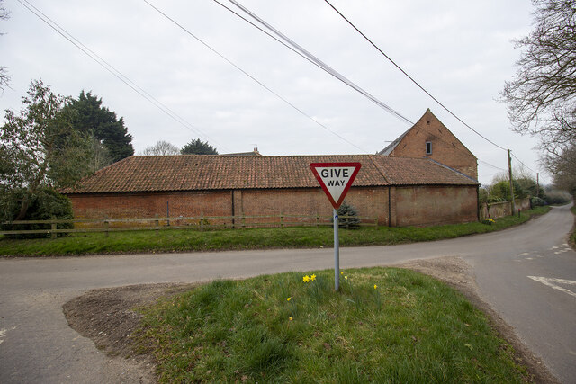
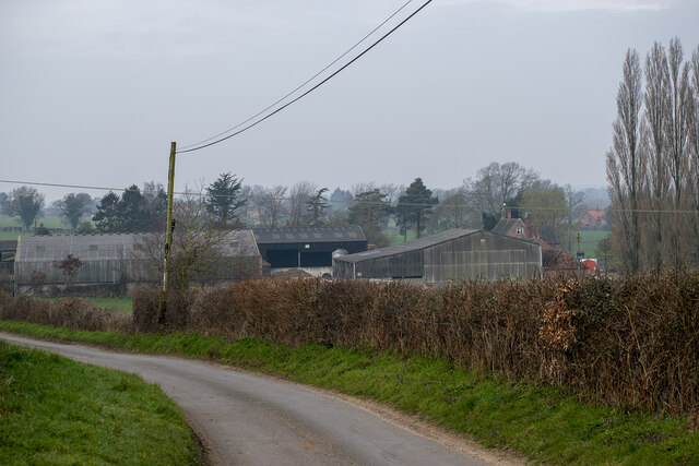
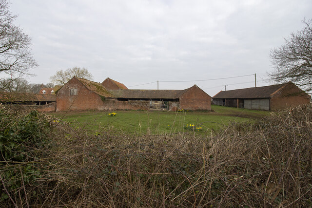
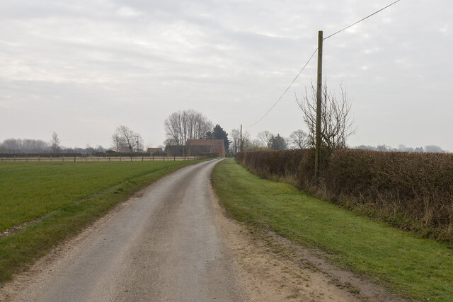
Further Grove Images
Images are sourced within 2km of 52.703801/1.0922079 or Grid Reference TG0916. Thanks to Geograph Open Source API. All images are credited.


Further Grove is located at Grid Ref: TG0916 (Lat: 52.703801, Lng: 1.0922079)
Administrative County: Norfolk
District: Broadland
Police Authority: Norfolk
What 3 Words
///jetliner.showcase.mailer. Near Mattishall, Norfolk
Nearby Locations
Related Wikis

RAF Attlebridge
Royal Air Force Attlebridge, or simply RAF Attlebridge, is a former Royal Air Force station located near Attlebridge and 8 miles (13 km) northwest of Norwich...

Sparham Pools
Sparham Pools is a 12.2-hectare (30-acre) nature reserve south of Sparham in Norfolk. It is leased and managed by the Norfolk Wildlife Trust.These former...

Weston Longville
Weston Longville is a civil parish in the English county of Norfolk, approximately 8 miles (13 km) north-west of Norwich. Its name is derived from the...

Lenwade
Lenwade is a village in the civil parish of Great Witchingham, Norfolk, situated in the Wensum Valley adjacent to the A1067 road 14 miles (23 km) south...
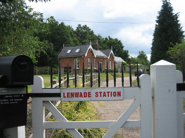
Lenwade railway station
Lenwade railway station was a railway station in North Norfolk, England. It was built by the Lynn and Fakenham Railway Company in 1882 and taken over by...

Hockering Wood
Hockering Wood is an 89.5-hectare (221-acre) biological Site of Special Scientific Interest east of Dereham in Norfolk.This is one of the largest areas...

Lyng, Norfolk
Lyng is a village and civil parish in the English county of Norfolk. It is situated on the River Wensum, some 10 km (6.2 mi) north-east of the town of...

River Ainse (or Eyn)
The River Ainse (or Eyn) is a small river in the county of Norfolk. It is a tributary of the River Wensum which it merges with at Lenwade. The River Ainse...
Nearby Amenities
Located within 500m of 52.703801,1.0922079Have you been to Further Grove?
Leave your review of Further Grove below (or comments, questions and feedback).