Park Grove
Wood, Forest in Norfolk Breckland
England
Park Grove
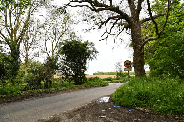
Park Grove in Norfolk is a serene and picturesque woodland area located in the heart of Norfolk County, England. Known for its lush greenery and beautiful landscapes, Park Grove is a haven for nature enthusiasts and those seeking tranquility away from the bustling city life.
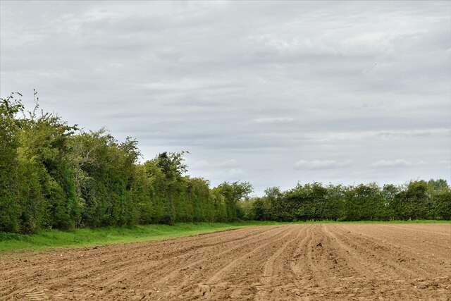
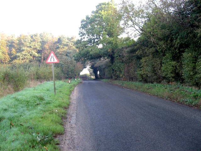
The park covers a vast area, with a mix of dense forests, open meadows, and serene lakes. The woodlands are predominantly made up of native tree species such as oak, beech, and birch, creating a rich and diverse ecosystem. The forest floor is adorned with a carpet of wildflowers, adding a burst of color to the surroundings.
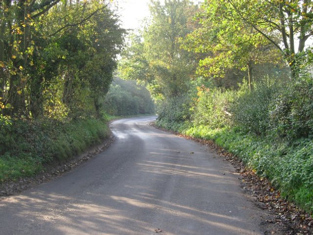
Visitors to Park Grove can explore the numerous walking trails that meander through the woodlands, providing opportunities for leisurely strolls or more vigorous hikes. The paths are well-maintained, making them accessible to people of all ages and abilities. Along the way, visitors may encounter various wildlife species, including deer, foxes, and a wide variety of bird species.
In addition to its natural beauty, Park Grove also offers recreational facilities for visitors. There are designated picnic areas, where families and friends can enjoy a meal amidst nature. The park also features a children's playground and a small cafe, providing amenities for a day out with the family.
Overall, Park Grove in Norfolk is a magnificent woodland retreat, offering a peaceful and immersive experience in the heart of nature. Whether for a leisurely walk, a picnic, or simply to escape the city hustle, this beautiful park is a must-visit destination for locals and tourists alike.
If you have any feedback on the listing, please let us know in the comments section below.
Park Grove Images
Images are sourced within 2km of 52.676322/1.0882681 or Grid Reference TG0813. Thanks to Geograph Open Source API. All images are credited.
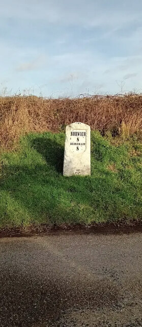


Park Grove is located at Grid Ref: TG0813 (Lat: 52.676322, Lng: 1.0882681)
Administrative County: Norfolk
District: Breckland
Police Authority: Norfolk
What 3 Words
///frightens.shook.withdraws. Near Mattishall, Norfolk
Nearby Locations
Related Wikis
Hockering
Hockering is a village and civil parish in Norfolk, England. At the 2001 census the parish had a population of 628. By 2007, the district estimated that...

East Tuddenham
East Tuddenham is a village in the English county of Norfolk. The village is located 5.6 miles (9.0 km) south-west of Dereham and 9.5 miles (15.3 km) north...

Honingham
Honingham is a village and civil parish in the English county of Norfolk, located 8 miles (13 km) to the west of Norwich along the A47 trunk road. It covers...

Hockering Wood
Hockering Wood is an 89.5-hectare (221-acre) biological Site of Special Scientific Interest east of Dereham in Norfolk.This is one of the largest areas...
Nearby Amenities
Located within 500m of 52.676322,1.0882681Have you been to Park Grove?
Leave your review of Park Grove below (or comments, questions and feedback).