Cooper's Wood
Wood, Forest in Kent Shepway
England
Cooper's Wood

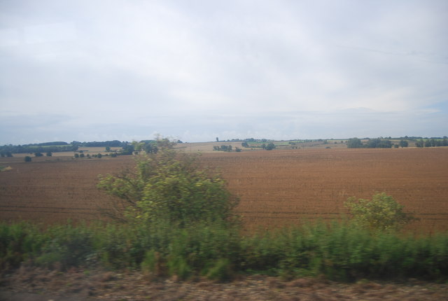
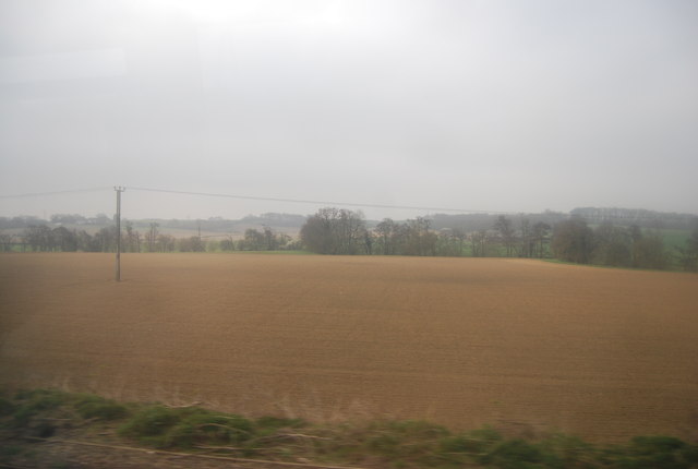
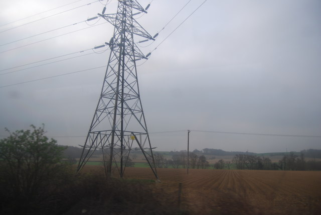
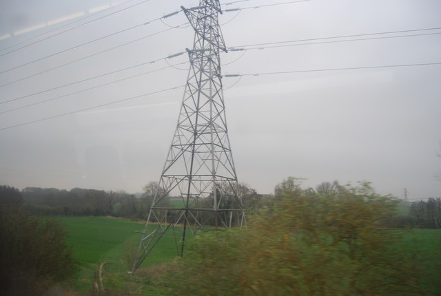
Cooper's Wood is a picturesque woodland located in the county of Kent, England. Covering an area of approximately 100 hectares, it is a designated Site of Special Scientific Interest (SSSI) due to its rich biodiversity and ecological importance. The wood is situated near the village of Cooper's Green, just a few miles south of the town of Tunbridge Wells.
The woodland is predominantly composed of broadleaf trees, including oak, beech, and ash, which create a dense and vibrant canopy. It is home to a diverse range of flora and fauna, providing a habitat for various species of birds, mammals, and insects. Bluebells carpet the forest floor during spring, creating a breathtaking display of color and beauty.
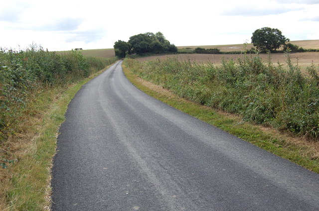
Cooper's Wood offers visitors a tranquil and serene environment, making it a popular destination for nature lovers and outdoor enthusiasts. There are several well-maintained trails winding through the wood, providing opportunities for leisurely walks, jogging, or cycling.
The wood is managed by a local conservation organization, which ensures the preservation of its natural beauty and protection of its wildlife. Educational activities and guided tours are also organized to raise awareness about the importance of woodland conservation and to showcase the unique features and species found within Cooper's Wood.
Overall, Cooper's Wood is a hidden gem in the heart of Kent, offering a peaceful retreat and a chance to connect with nature.
If you have any feedback on the listing, please let us know in the comments section below.
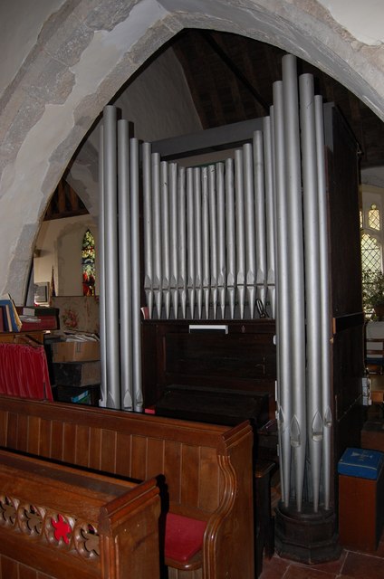
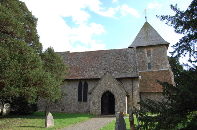
Cooper's Wood Images
Images are sourced within 2km of 51.110275/0.98192772 or Grid Reference TR0838. Thanks to Geograph Open Source API. All images are credited.


Cooper's Wood is located at Grid Ref: TR0838 (Lat: 51.110275, Lng: 0.98192772)
Administrative County: Kent
District: Shepway
Police Authority: Kent
What 3 Words
///tests.revamped.hopes. Near Lympne, Kent
Nearby Locations
Related Wikis

Sellindge
Sellindge is a civil parish and village on the A20 road between Ashford and Folkestone in Kent, South East England. Sellindge is part of North Downs West...
Lilyvale, Kent
Lilyvale is a hamlet in the English county of Kent. It is located north of the A20 road, south east of the town of Ashford, near the village of Smeeth...

Scot's Hall
Scot's Hall (or Scott's Hall) was a country house in Smeeth, between Ashford and Folkestone in southeast England. It was the property of a gentry family...
Brabourne Lees
Brabourne Lees is a village in the civil parish of Brabourne, within the Ashford borough of Kent, England. The village (centre) is just under 5 miles...
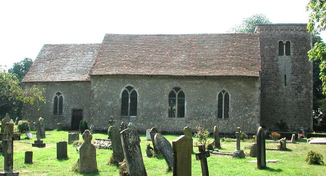
Smeeth
Smeeth is a mostly agricultural land use village and civil parish, centred 4 miles (6.4 km) east of Ashford in the Ashford Borough of Kent, England....
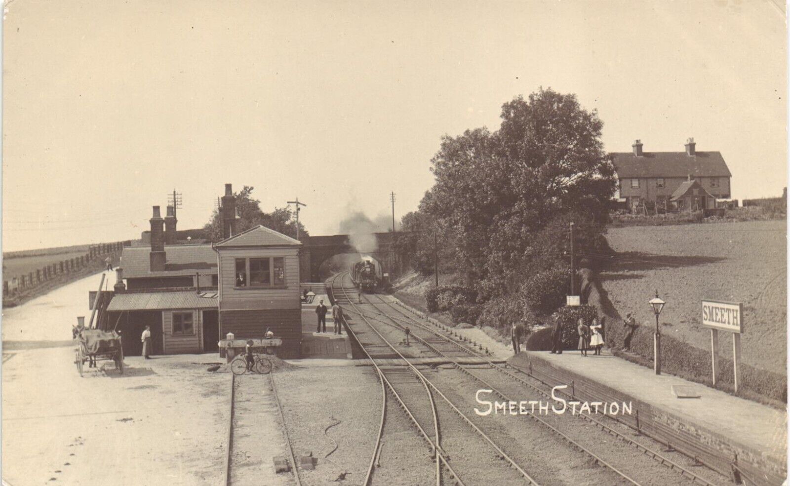
Smeeth railway station
Smeeth is a disused railway station on the South Eastern Main Line which served the village of Smeeth in Kent, England. The station opened in 1852 and...
Barrowhill
Barrowhill is a village in Kent, England, between Ashford and Folkestone.
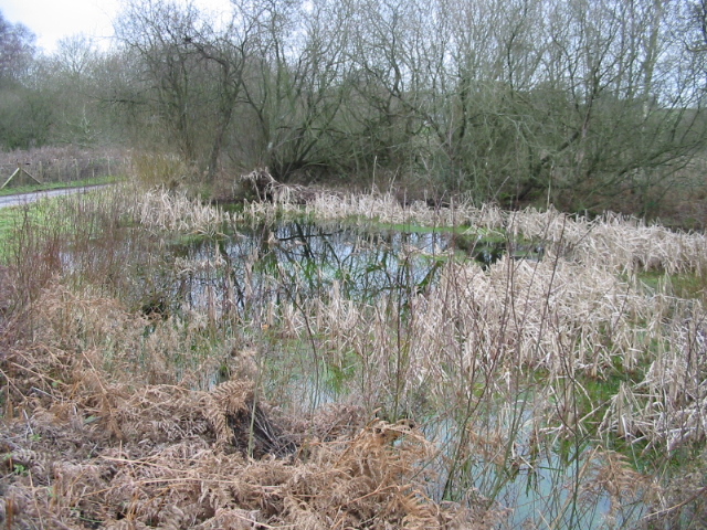
Gibbin's Brook
Gibbin's Brook is a 16.8-hectare (42-acre) biological Site of Special Scientific Interest in Sellindge in Kent.This site is mainly marshy grassland, but...
Related Videos

Seagull Models 80'' DHC-1 Canadian Air Force 1.20 fs glow
Eddie F and his model 23 Feb 2019.

Christmas lights in braborne
The Christmas lights in braborne.

Aldington Point to Point Horse Racing 2022 Aldington Kent.
Aldington Point to Point, Horse Racing, 2022 official video. Aldington Races has been running for nearly 60 years and is a superb ...
Nearby Amenities
Located within 500m of 51.110275,0.98192772Have you been to Cooper's Wood?
Leave your review of Cooper's Wood below (or comments, questions and feedback).