Hasgate Plantation
Wood, Forest in Norfolk North Norfolk
England
Hasgate Plantation

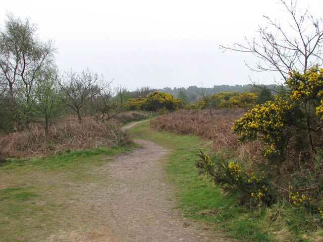
Hasgate Plantation is a picturesque woodland located in Norfolk, England. Spanning over a vast area, this plantation is well-known for its thriving woodlands and enchanting forests. The plantation is situated in a rural setting, surrounded by the tranquility of nature.
The woodlands of Hasgate Plantation are characterized by a diverse range of tree species, including oak, beech, ash, and birch, among others. The lush greenery provides a haven for a rich variety of flora and fauna, making it a popular destination for nature enthusiasts and wildlife lovers. The forest floor is adorned with beautiful wildflowers, adding a splash of color to the surroundings.
Visitors to Hasgate Plantation can enjoy a range of recreational activities, such as hiking, walking, and birdwatching. The plantation offers numerous well-maintained trails that wind through the woodland, allowing visitors to explore its natural beauty at their own pace. The peaceful ambiance and fresh air make it an ideal spot for those seeking respite from the hustle and bustle of city life.
In addition to its natural beauty, Hasgate Plantation holds historical significance. The plantation has been carefully managed for centuries, with its timber used for various purposes, such as construction and fuel. The presence of ancient trees and remnants of old structures adds to its historical charm.
Overall, Hasgate Plantation in Norfolk is a captivating destination that offers a harmonious blend of natural beauty and historical significance. Its woodlands and forests provide a serene escape for visitors, inviting them to immerse themselves in the wonders of nature.
If you have any feedback on the listing, please let us know in the comments section below.
Hasgate Plantation Images
Images are sourced within 2km of 52.937446/1.1056959 or Grid Reference TG0842. Thanks to Geograph Open Source API. All images are credited.


Hasgate Plantation is located at Grid Ref: TG0842 (Lat: 52.937446, Lng: 1.1056959)
Administrative County: Norfolk
District: North Norfolk
Police Authority: Norfolk
What 3 Words
///unframed.relegate.nightfall. Near Sheringham, Norfolk
Nearby Locations
Related Wikis
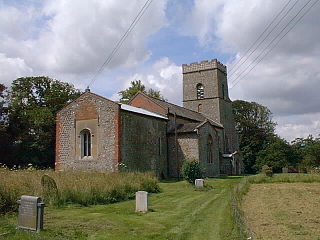
Kelling
Kelling (also known as Low Kelling and as Lower Kelling) is a village and a civil parish in the English county of Norfolk. The village is 10.1 miles...
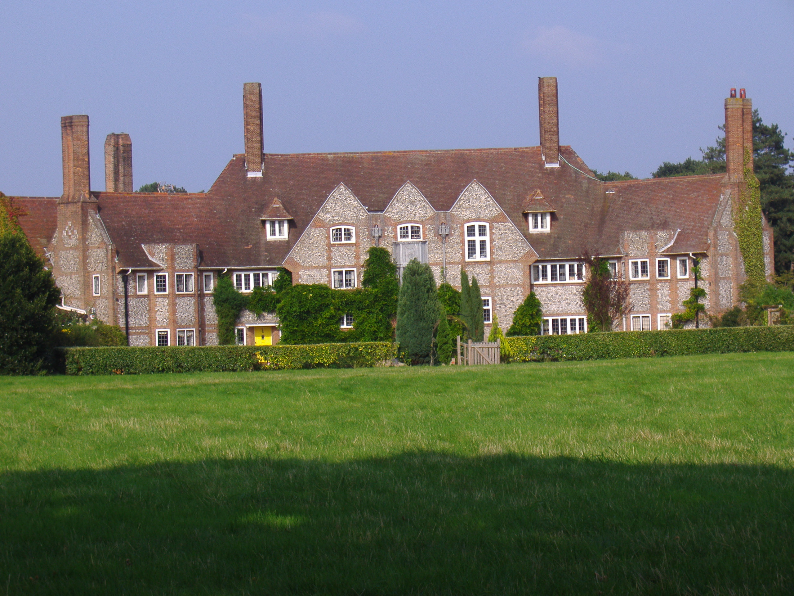
Kelling Hall
Kelling Hall is a Grade II* listed building situated in the civil parish of Kelling in the English county of Norfolk. It is 0.7 miles from the parish of...
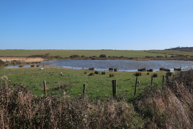
Kelling Heath
Kelling Heath is an 89.4-hectare (221-acre) biological Site of Special Scientific Interest between Holt and Weybourne in Norfolk. It is in the Norfolk...
Salthouse
Salthouse is a village and a civil parish in the English county of Norfolk. It is situated on the salt marshes of North Norfolk. It is 3.8 miles (6.1 km...
Nearby Amenities
Located within 500m of 52.937446,1.1056959Have you been to Hasgate Plantation?
Leave your review of Hasgate Plantation below (or comments, questions and feedback).