Pont-rhydbont
Settlement in Anglesey
Wales
Pont-rhydbont

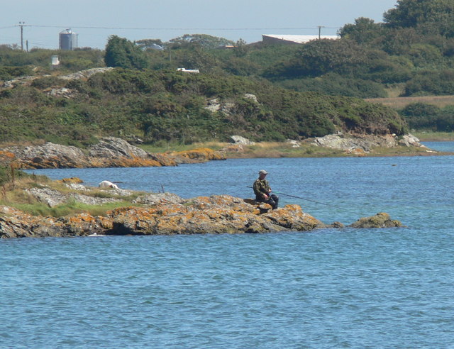
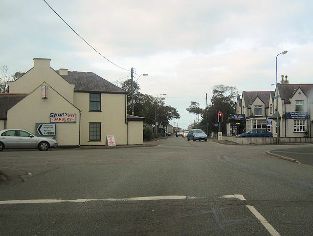
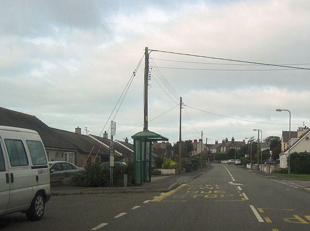
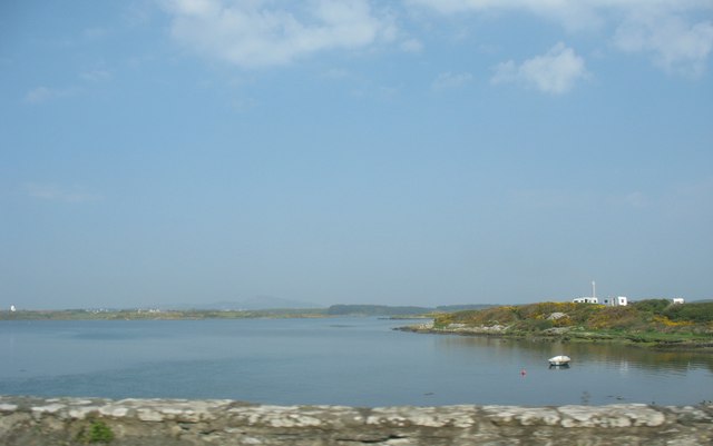
Pont-rhydbont, also known as Menai Bridge, is a small town situated on the Isle of Anglesey in North Wales. It is located on the eastern bank of the Menai Strait, which separates Anglesey from the mainland of Wales. With a population of around 4,000 people, Pont-rhydbont is a bustling community that offers a peaceful and picturesque setting.
The town is renowned for its iconic suspension bridge, the Menai Suspension Bridge, which was designed by Thomas Telford and completed in 1826. This engineering marvel is a symbol of the town's rich history and connects Anglesey to the mainland, making it an essential part of transport infrastructure for both locals and tourists.
Pont-rhydbont enjoys a thriving tourism industry due to its proximity to popular attractions such as the Snowdonia National Park and the beautiful North Wales coastline. Visitors can explore the stunning natural landscapes, go hiking in the nearby mountains, or simply enjoy the tranquil beach walks.
The town itself offers a range of amenities, including charming shops, cafes, and restaurants that serve local delicacies. There are also several historical landmarks, including St. Tysilio's Church, which dates back to the 15th century.
Pont-rhydbont is a vibrant place that hosts various cultural events and festivals throughout the year, attracting visitors from far and wide. Its friendly community and picturesque surroundings make it an ideal destination for those seeking a peaceful getaway or a base to explore the wonders of North Wales.
If you have any feedback on the listing, please let us know in the comments section below.
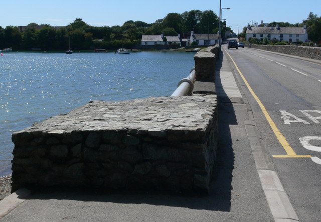
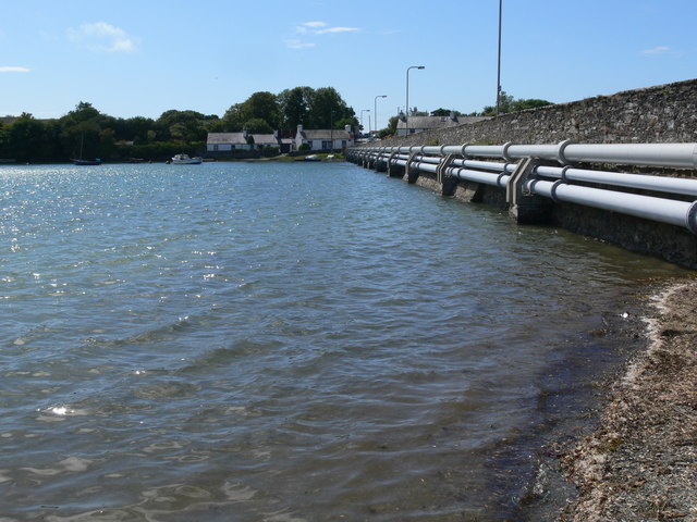
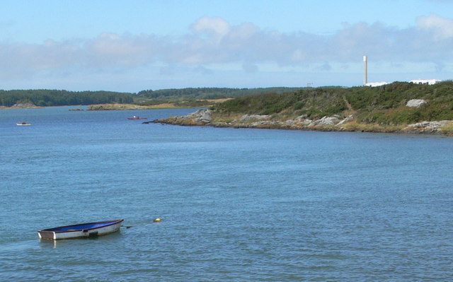
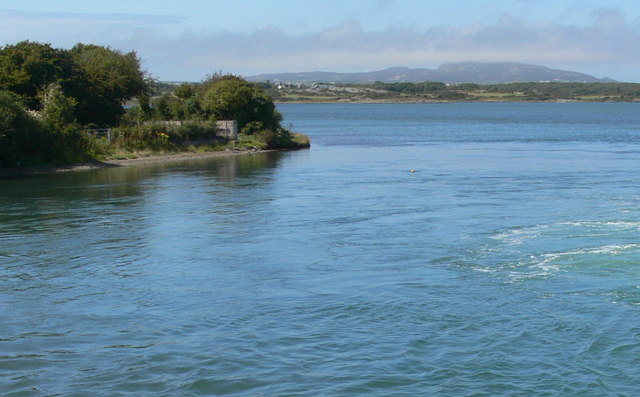
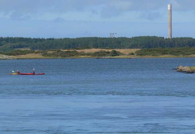
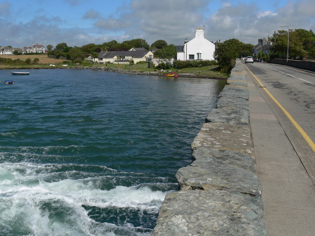
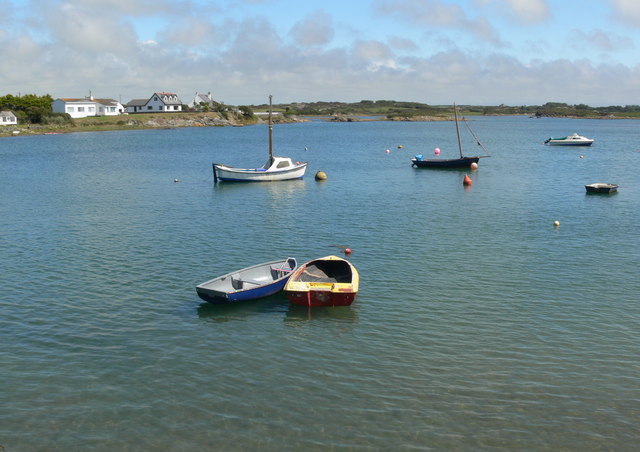
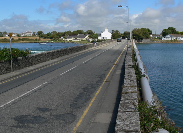
Pont-rhydbont Images
Images are sourced within 2km of 53.272013/-4.580123 or Grid Reference SH2878. Thanks to Geograph Open Source API. All images are credited.


Pont-rhydbont is located at Grid Ref: SH2878 (Lat: 53.272013, Lng: -4.580123)
Unitary Authority: Isle of Anglesey
Police Authority: North Wales
Also known as: Four Mile Bridge
What 3 Words
///cowboys.shadowing.binds. Near Valley, Isle of Anglesey
Nearby Locations
Related Wikis

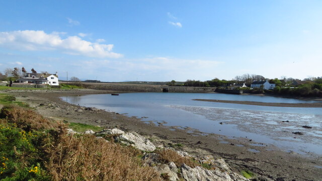
Four Mile Bridge
Four Mile Bridge (Welsh: Pontrhydybont / Pont-rhydbont / Pontrhypont) is a village spanning both sides of the Cymyran Strait in Wales, connecting Holy...

Beddmanarch–Cymyran
Beddmanarch–Cymyran is a site of special scientific interest (SSSI) on the Welsh island of Anglesey extending to just over 900 hectares (2,200 acres),...
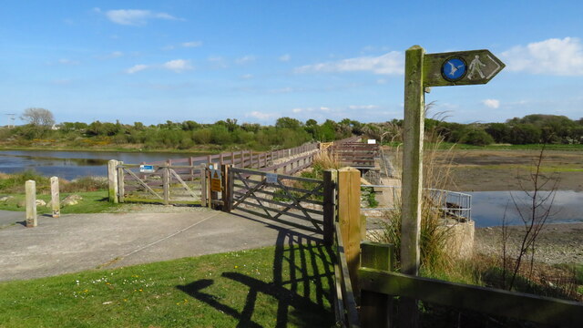
Cymyran Strait
Cymyran Strait (Welsh: Culfor Cymyran) is a strait that runs from Beddmanarch Bay in the north to Cymyran Bay in the south between the islands of Anglesey...

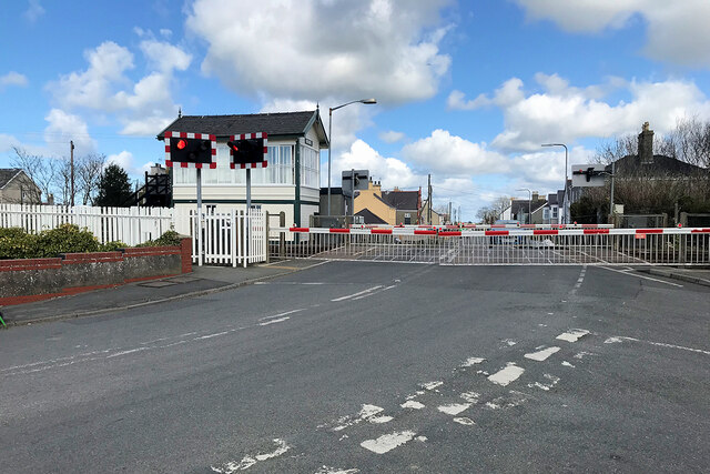
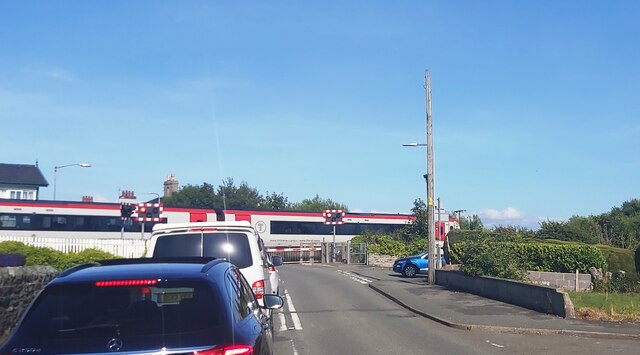
Valley railway station
Valley railway station (Welsh: Gorsaf reilffordd y Fali) is a railway station that serves the village of Valley in Anglesey, Wales. It is the last station...
Nearby Amenities
Located within 500m of 53.272013,-4.580123Have you been to Pont-rhydbont?
Leave your review of Pont-rhydbont below (or comments, questions and feedback).