Church Belt

Wood, Forest in Suffolk Babergh

England

Church Belt

Hintlesham, St Nicholas
Hintlesham, St Nicholas Credit: Dave Kelly

Church Belt in Suffolk is a small wooded area located in the eastern region of England. It is situated near the village of Woodbridge, within the county of Suffolk. Covering an area of approximately 70 hectares, Church Belt is part of the larger Suffolk Coast and Heaths Area of Outstanding Natural Beauty.

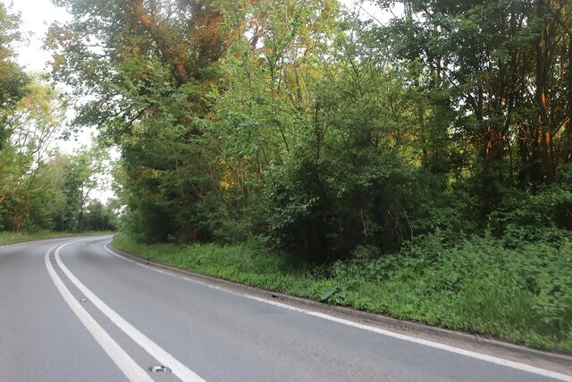
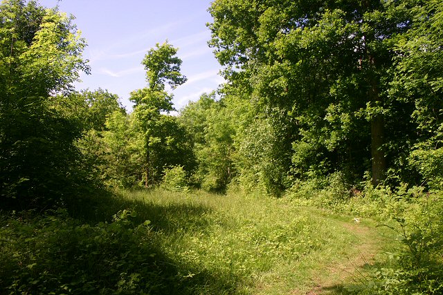
The woodland in Church Belt predominantly consists of ancient oak trees, with some areas featuring mixed deciduous and coniferous species. The dense canopy provides a habitat for a variety of wildlife, including numerous bird species such as woodpeckers, owls, and tits. The forest floor is rich in biodiversity, with a range of flora and fauna, including bluebells, primroses, and ferns.

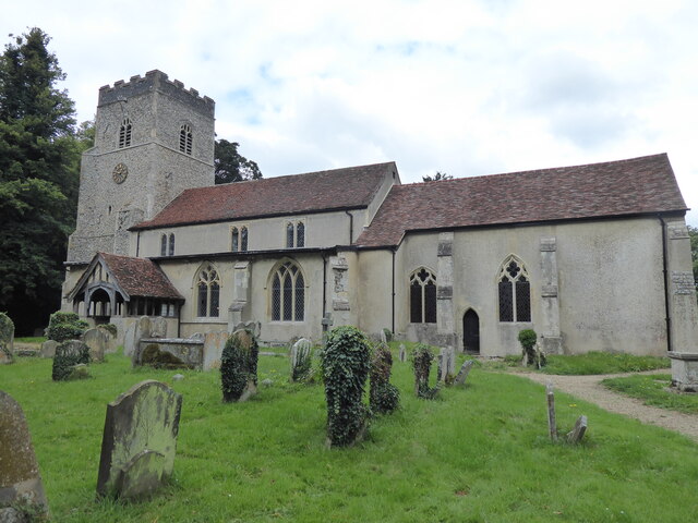
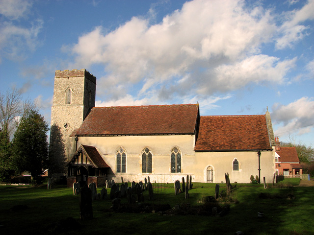
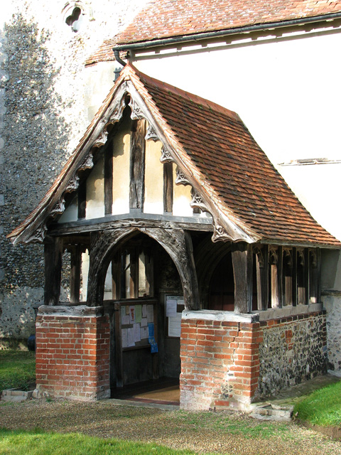
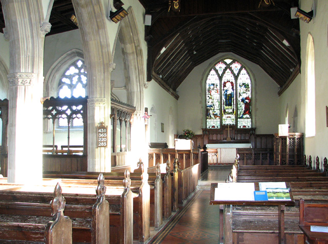
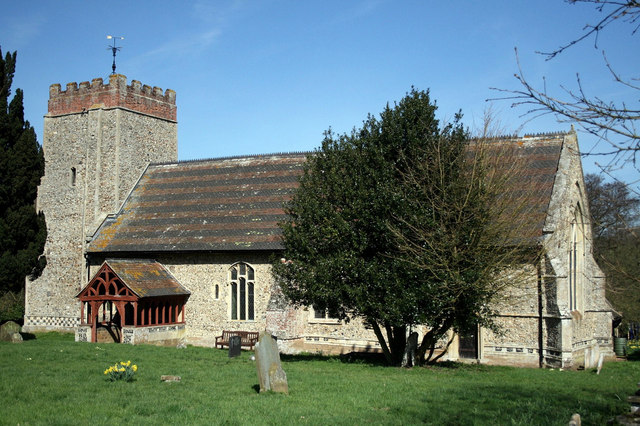
The area is popular amongst nature enthusiasts, walkers, and those seeking a peaceful retreat in the midst of nature. Several well-maintained footpaths and trails wind through the woods, allowing visitors to explore the beauty of the area. These paths also provide access to nearby sites of interest, such as the historic St. Mary's Church and the picturesque River Deben.

Church Belt is known for its tranquility and serenity, offering visitors a chance to escape the hustle and bustle of everyday life. It is a haven for wildlife and a place to immerse oneself in the beauty of the natural world. Whether it is a leisurely stroll, birdwatching, or simply enjoying the peaceful surroundings, Church Belt in Suffolk is a place where nature thrives and humans can find solace.

If you have any feedback on the listing, please let us know in the comments section below.
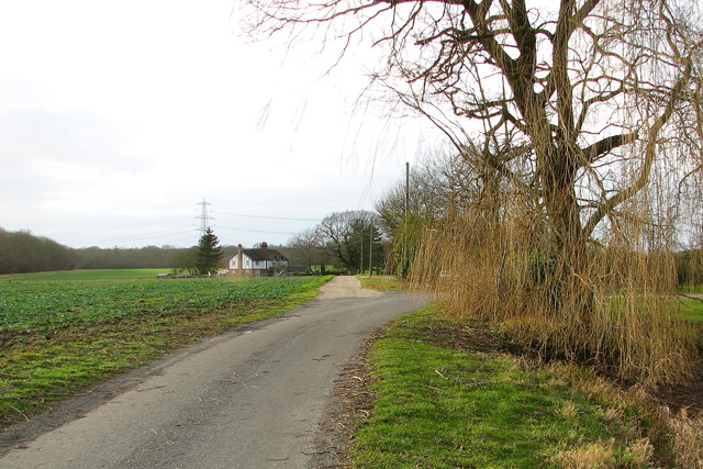
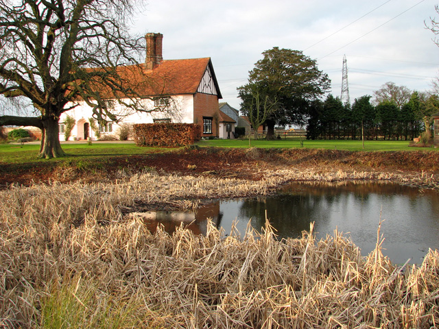
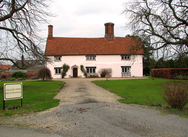
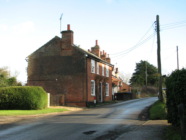
Church Belt Images

Images are sourced within 2km of 52.049973/1.0405629 or Grid Reference TM0843. Thanks to Geograph Open Source API. All images are credited.

Hintlesham, St Nicholas
Bend on George Street, Hintlesham
Field by Lady Lane, Hintlesham
Lady Lane. Hintlesham
Public footpath to Ramsey Wood, Hintlesham
Pond by College Farm, Hintlesham
College Farm Hintlesham
Cottages opposite St Mary's church, Burstall
The Street, Burstall
Burstall Lodge, Burstall This lovely timber-framed, thatched cottage is located in The Street.
Burstall Lodge, Burstall
This lovely timber-framed, thatched cottage is located in The Street.
The village sign in Burstall
St Mary's church in Burstall For more information go to: <a title="https://www.geograph.org.uk/photo/2084825" href="https://www.geograph.org.uk/photo/2084825">Link</a>.
St Mary's church in Burstall
For more information go to: Link.
St Mary's church in Burstall For more information go to: <a title="https://www.geograph.org.uk/photo/2084825" href="https://www.geograph.org.uk/photo/2084825">Link</a>.
St Mary's church in Burstall
For more information go to: Link.
St Mary's church in Burstall - the porch For more information go to: <a title="https://www.geograph.org.uk/photo/2084825" href="https://www.geograph.org.uk/photo/2084825">Link</a>.
St Mary's church in Burstall - the porch
For more information go to: Link.
St Mary's church in Burstall View east. For more information go to: <a title="https://www.geograph.org.uk/photo/2084825" href="https://www.geograph.org.uk/photo/2084825">Link</a>.
St Mary's church in Burstall
View east. For more information go to: Link.
St Mary's church in Burstall North aisle with medieval parclose screen. For more information go to: <a title="https://www.geograph.org.uk/photo/2084825" href="https://www.geograph.org.uk/photo/2084825">Link</a>.
St Mary's church in Burstall
North aisle with medieval parclose screen. For more information go to: Link.
St Mary's church in Burstall East window. For more information go to: <a title="https://www.geograph.org.uk/photo/2084825" href="https://www.geograph.org.uk/photo/2084825">Link</a>.
St Mary's church in Burstall
East window. For more information go to: Link.
St Mary's church in Burstall For more information go to: <a title="https://www.geograph.org.uk/photo/2084825" href="https://www.geograph.org.uk/photo/2084825">Link</a>.
St Mary's church in Burstall
For more information go to: Link.
Show me another place!

Church Belt is located at Grid Ref: TM0843 (Lat: 52.049973, Lng: 1.0405629)

Administrative County: Suffolk

District: Babergh

Police Authority: Suffolk

What 3 Words

///avoid.pilots.teardrop. Near Bramford, Suffolk

Nearby Locations

Hintlesham Church Belt

Related Wikis

Hintlesham

Hintlesham is a small village in Suffolk, England, situated roughly halfway between Ipswich and Hadleigh. It is in the Belstead Brook electoral division...
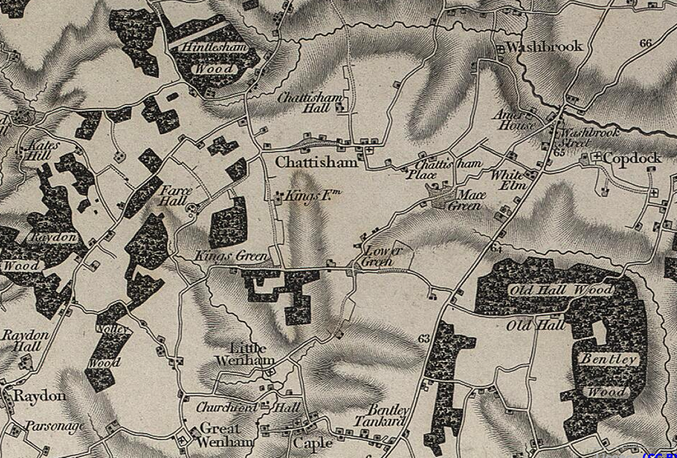
Chattisham

Chattisham is a village and civil parish in Suffolk, England. Located around two miles west of Ipswich and half a mile south of the A1071, it is part of...
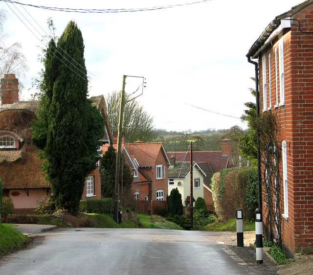
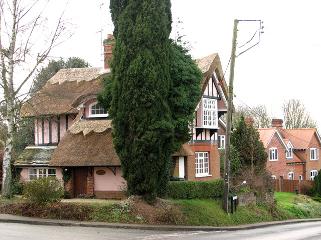
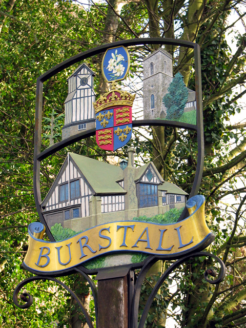
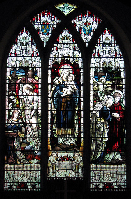
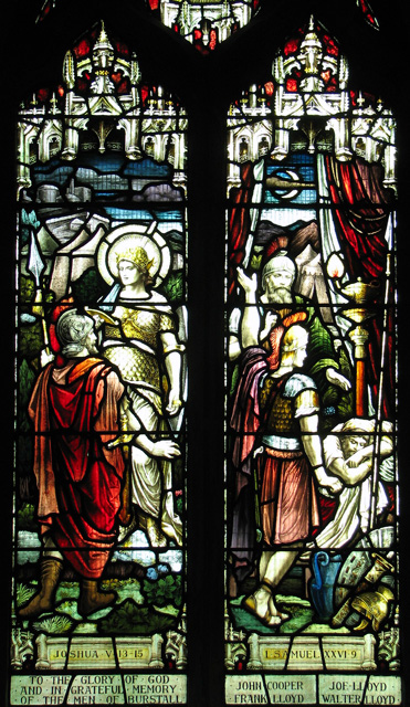
Burstall, Suffolk

Burstall is a village and civil parish in Suffolk, England. Located around 4 miles (6 km) west of Ipswich, it is part of Babergh district. The parish includes...

Hintlesham Woods

Hintlesham Woods is a 118.1-hectare (292-acre) biological Site of Special Scientific Interest east of Hadleigh in Suffolk. Part of it is Wolves Wood, which...

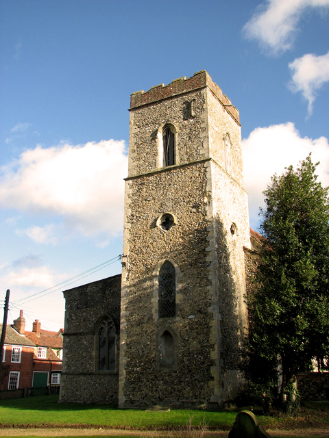
St Mary's Church, Washbrook

St Mary's Church is a redundant Anglican church in the village of Washbrook, Suffolk, England. It is recorded in the National Heritage List for England...

Copdock and Washbrook

Copdock and Washbrook is a civil parish in the Babergh district in the county of Suffolk, England. It covers the villages of Copdock and Washbrook, as...

Silverstone Classic

The Silverstone Classic is an annual three-day car and race event at the Silverstone Circuit, home of the British Grand Prix. The event features hundreds...

Wolves Wood

Wolves Wood is a woodland near Hadleigh, Suffolk. It is one of 7 ancient woodland areas within Suffolk. An ancient woodland is defined as a site that has...

Nearby Amenities

Located within 500m of 52.049973,1.0405629
Hintlesham
Created By: Potlatch 0.10b
Place: village
Wikidata: Q1024030
Lat/Long: 52.049283/1.0428109
Bus Stop
The George
Local Ref: adj
Naptan AtcoCode: 390010604
Naptan Bearing: E
Naptan CommonName: The George
Naptan Landmark: The George
Naptan NaptanCode: sufagtgd
Naptan Street: A1071
Naptan Verified: no
Public Transport: platform
Source: naptan_import
Lat/Long: 52.0496995/1.0442246
Bus Stop
The George
Local Ref: opp
Naptan AtcoCode: 390010605
Naptan Bearing: W
Naptan CommonName: The George
Naptan Landmark: The George
Naptan NaptanCode: sufagtgj
Naptan Street: A1071
Naptan Verified: no
Public Transport: platform
Source: naptan_import
Lat/Long: 52.0497856/1.043532
Bus Stop
Hall
Bus: yes
Local Ref: nr
Naptan AtcoCode: 390010606
Naptan Bearing: N
Naptan CommonName: Hall
Naptan Landmark: Hall
Naptan NaptanCode: sufagtgm
Naptan Street: A1071
Naptan Verified: no
Public Transport: platform
Source: naptan_import
Lat/Long: 52.0497545/1.0367571
Bus Stop
Hall
Bus: yes
Local Ref: opp
Naptan AtcoCode: 390010607
Naptan Bearing: S
Naptan CommonName: Hall
Naptan Landmark: Hall
Naptan NaptanCode: sufagtgp
Naptan Street: A1071
Naptan Verified: no
Public Transport: platform
Source: naptan_import
Lat/Long: 52.049802/1.0371339
Golf: pin
Lat/Long: 52.0513788/1.0467976
Golf: pin
Lat/Long: 52.0516019/1.0418905
Shelter
Shelter Type: public_transport
Lat/Long: 52.0498018/1.043398
Addr City: Hintlesham
Addr Housenumber: 5
Addr Postcode: IP8 3GA
Addr Street: St. Nicholas Close
Lat/Long: 52.0492872/1.0379572
Addr City: Hintlesham
Addr Housenumber: 6
Addr Postcode: IP8 3GA
Addr Street: St. Nicholas Close
Lat/Long: 52.0493264/1.0379539
Addr City: Hintlesham
Addr Housename: 1 Victoria Cottages
Addr Postcode: IP8 3PP
Addr Street: Duke Street
Lat/Long: 52.0487726/1.0356961
Addr City: Hintlesham
Addr Housename: 2 Victoria Cottages
Addr Postcode: IP8 3PP
Addr Street: Duke Street
Lat/Long: 52.0487041/1.0356063
Addr City: Hintlesham
Addr Housename: Yew Tree Cottage
Addr Postcode: IP8 3PP
Addr Street: Duke Street
Lat/Long: 52.0485986/1.0354842
Post Box
Operator: Royal Mail
Post Box Mounting: pier
Post Box Type: lamp
Ref: IP8 1418
Royal Cypher: EIIR
Lat/Long: 52.0495672/1.0396966
The data included in this document is from www.openstreetmap.org. The data is made available under ODbL.

Have you been to Church Belt?

Leave your review of Church Belt below (or comments, questions and feedback).