Bower Wood
Wood, Forest in Kent Canterbury
England
Bower Wood
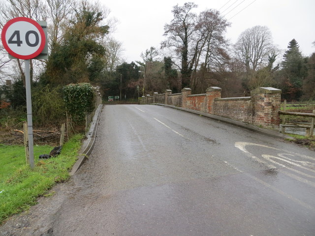
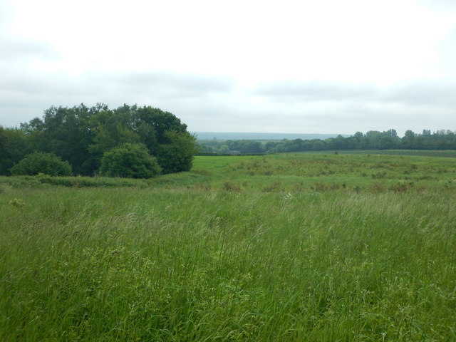
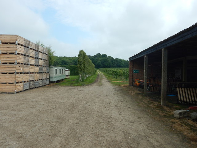
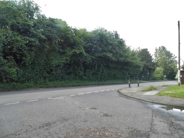
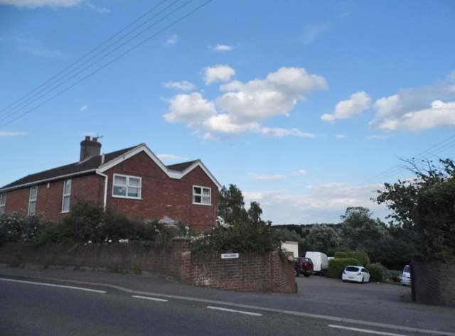
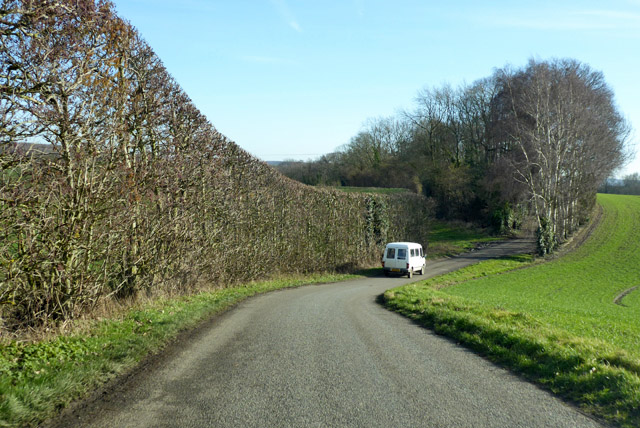
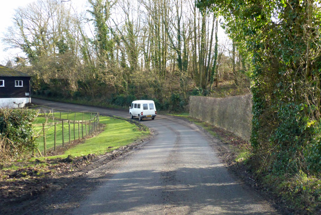
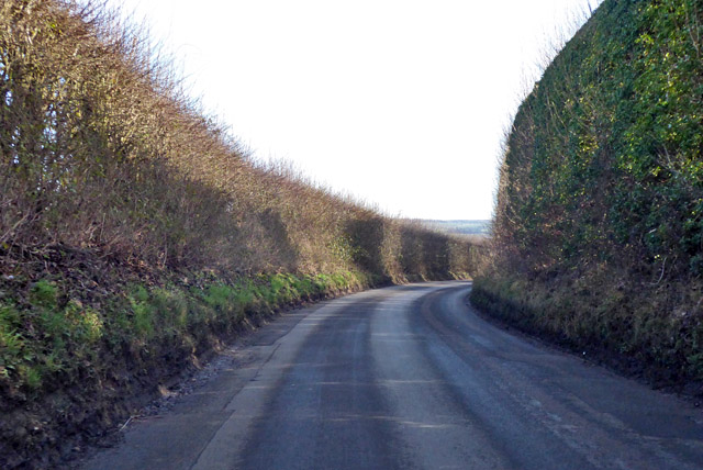
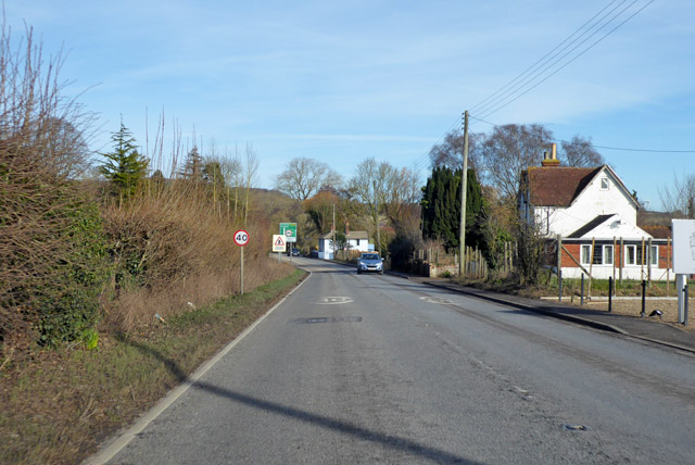
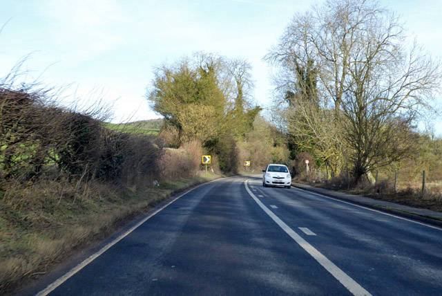
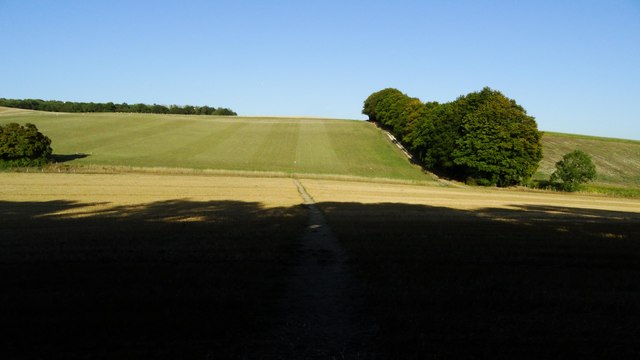
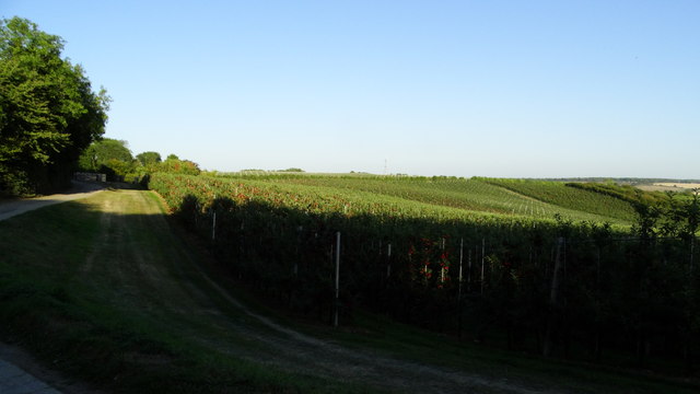
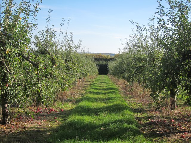
Bower Wood, located in Kent, England, is a picturesque woodland area known for its natural beauty and diverse wildlife. Spanning over a vast area, the wood is home to a wide range of tree species, including oak, beech, ash, and birch, creating a rich and vibrant ecosystem.
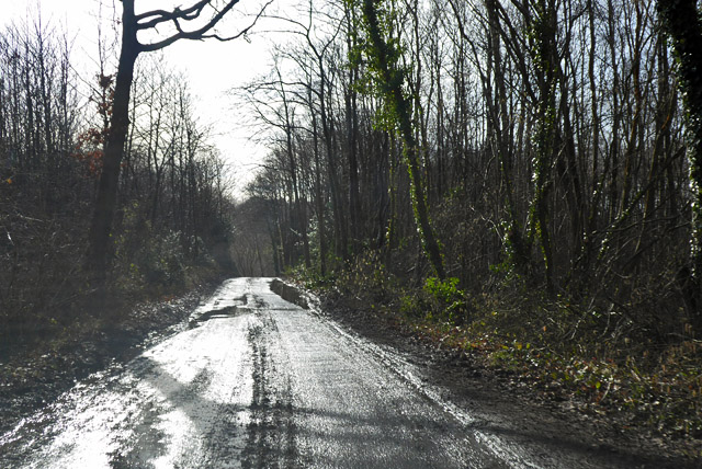
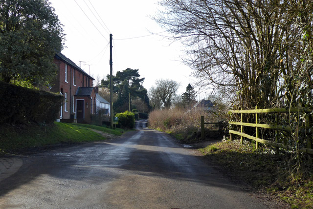
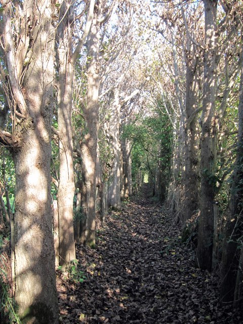
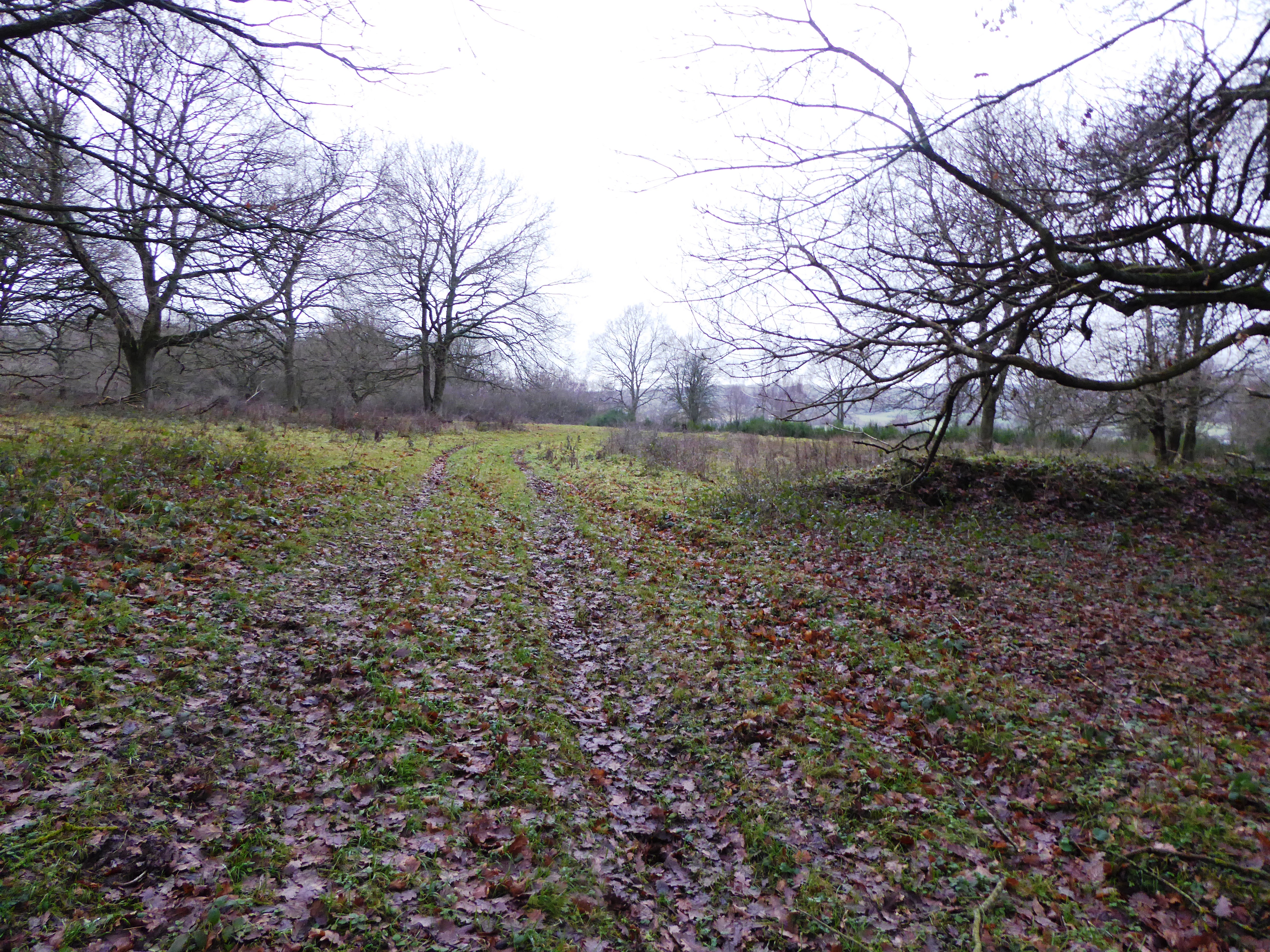
The forest floor of Bower Wood is covered with a thick carpet of ferns, mosses, and wildflowers, adding to its enchanting charm. The woodland is intersected by a network of well-maintained footpaths, allowing visitors to explore the area and enjoy its tranquility.
Birdwatchers flock to Bower Wood to catch a glimpse of the numerous avian species that call this place home. Among the birds commonly spotted are woodpeckers, song thrushes, and tawny owls. The wood is also a haven for small mammals such as badgers, foxes, and deer, making it a popular spot for wildlife enthusiasts.
Bower Wood is not only a natural haven but also holds historical significance. It is believed to have been part of an ancient forest that covered much of the region centuries ago. Evidence of human habitation can be found in the form of ancient burial mounds and other archaeological remains.
The wood is a popular destination for outdoor activities such as hiking, nature walks, and photography. Its serene atmosphere and breathtaking scenery make it an ideal retreat for those seeking a break from the hustle and bustle of city life. Bower Wood truly offers a glimpse into the beauty and tranquility of nature in the heart of Kent.
If you have any feedback on the listing, please let us know in the comments section below.
Bower Wood Images
Images are sourced within 2km of 51.269267/0.98282297 or Grid Reference TR0856. Thanks to Geograph Open Source API. All images are credited.
Bower Wood is located at Grid Ref: TR0856 (Lat: 51.269267, Lng: 0.98282297)
Administrative County: Kent
District: Canterbury
Police Authority: Kent
What 3 Words
///steepest.flags.refer. Near Chartham, Kent
Nearby Locations
Related Wikis

South Blean
South Blean is a 329-hectare (810-acre) nature reserve near Chartham Hatch, west of Canterbury in Kent. It is owned and managed by the Kent Wildlife Trust...
Dunkirk, Kent
Dunkirk is a village and civil parish between Faversham and Canterbury in southeast England. It lies on the Canterbury Road between Boughton under Blean...

Boughton under Blean
Boughton under Blean is a village and civil parish between Faversham and Canterbury in south-east England. "Boughton under Blean" technically refers only...

Oversland
Oversland is a settlement in the Swale district of Kent, England. It is located about 1 mile (1.6 km) to the west of Selling and is situated near Selling...
Broadham Down
Broadham Down is a 16-hectare (40-acre) nature reserve east of Chilham and west of Canterbury in Kent. It is managed by the Kent Wildlife Trust.This nature...

No Man's Orchard
No Man's Orchard is a 4.1-hectare (10-acre) Local Nature Reserve west of Canterbury in Kent. It is owned by Chartham and Harbledown Parish Councils and...

Chilham railway station
Chilham railway station is a railway station in Chilham, Kent. It is on the Ashford to Ramsgate line between Ashford International and Canterbury West...

Chartham railway station
Chartham railway station is in Chartham, Kent, on the Ashford to Ramsgate line. The station, and all trains serving it, is operated by Southeastern....
Have you been to Bower Wood?
Leave your review of Bower Wood below (or comments, questions and feedback).