Colman's Plantation
Wood, Forest in Norfolk South Norfolk
England
Colman's Plantation
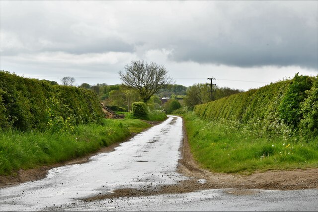
Colman's Plantation, located in Norfolk, England, is a picturesque woodland area known for its dense forests and scenic beauty. Covering a vast expanse of land, the plantation is a popular destination for nature enthusiasts and hikers.
The woodland is named after the Colman family, who owned the plantation for several generations. The area is characterized by a variety of tree species, including oak, beech, and birch, which contribute to the lush greenery and vibrant ecosystem of the forest.
Colman's Plantation is home to a diverse range of flora and fauna. Visitors can expect to see an array of wildflowers, such as bluebells and primroses, during the spring season. The woodland also provides habitat for a multitude of bird species, including woodpeckers, thrushes, and owls.
The plantation offers several trails and walking paths that allow visitors to explore the natural beauty of the area. These paths wind through the forest, providing opportunities for both leisurely strolls and more challenging hikes. Along the way, hikers may come across small streams and ponds, enhancing the enchanting atmosphere of the woodland.
Colman's Plantation is a tranquil escape from the hustle and bustle of everyday life. Its serene atmosphere and breathtaking scenery make it an ideal destination for those seeking solace in nature. Whether it's a leisurely walk or an adventurous hike, this woodland offers something for everyone to enjoy.
If you have any feedback on the listing, please let us know in the comments section below.
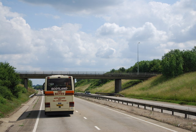
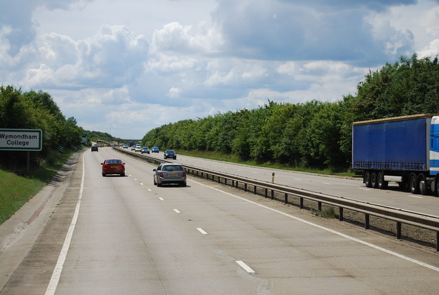
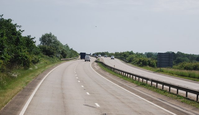
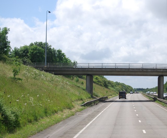
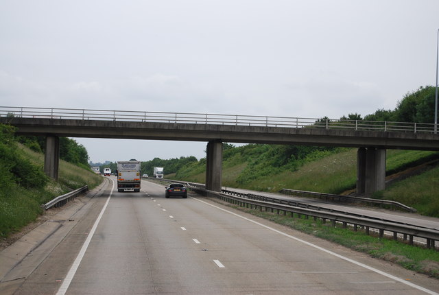
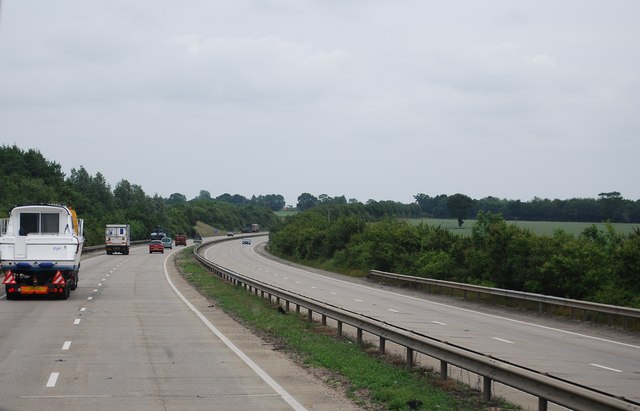
Colman's Plantation Images
Images are sourced within 2km of 52.554554/1.0675319 or Grid Reference TM0899. Thanks to Geograph Open Source API. All images are credited.


Colman's Plantation is located at Grid Ref: TM0899 (Lat: 52.554554, Lng: 1.0675319)
Administrative County: Norfolk
District: South Norfolk
Police Authority: Norfolk
What 3 Words
///beakers.dreamer.bills. Near Attleborough, Norfolk
Nearby Locations
Related Wikis

Morley, Norfolk
Morley is a civil parish in the South Norfolk district, in the county of Norfolk, England. It includes the villages of Morley St Botolph and Morley St...
Morley Saint Botolph
Morley Saint Botolph is a village and former civil parish, now in the parish of Morley, in the South Norfolk district, in the county of Norfolk, England...

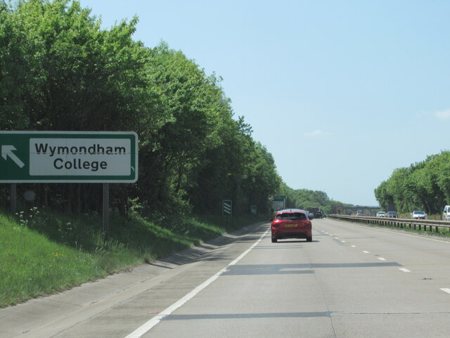
Wymondham College
Wymondham College is a coeducational day and boarding school in Morley, near Wymondham, Norfolk, England with academy status. A former grammar school,...

Spooner Row railway station
Spooner Row railway station is on the Breckland line in the East of England, serving the small village of Spooner Row, Norfolk. The line runs between Cambridge...
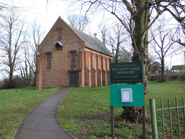
Spooner Row
Spooner Row is a small village, and civil parish, in the English county of Norfolk. It is situated some 5 km (3.1 mi) south-west of the town of Wymondham...
Morley Old Hall
Morley Old Hall is a Grade I-listed moated manor house built in the sixteenth century in the village of Morley Saint Peter, some twelve miles from the...

Wicklewood
Wicklewood is a village and civil parish in the South Norfolk district of Norfolk, England. It is located 11 miles (18 km) west of Norwich next to the...
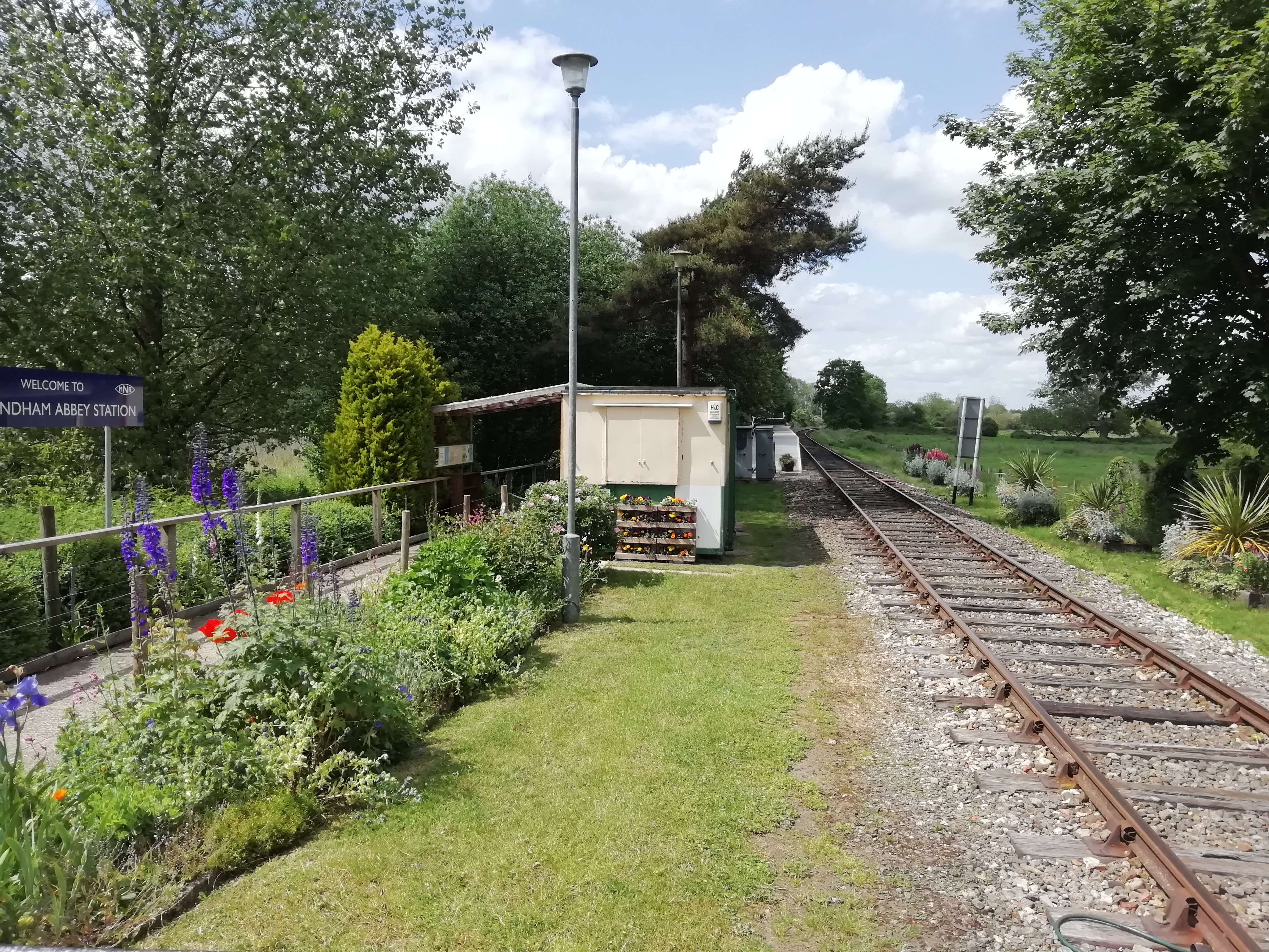
Wymondham Abbey railway station
Wymondham Abbey railway station is a railway station in the town of Wymondham in the English county of Norfolk. The station is served by heritage services...
Nearby Amenities
Located within 500m of 52.554554,1.0675319Have you been to Colman's Plantation?
Leave your review of Colman's Plantation below (or comments, questions and feedback).