Walsis Wood

Wood, Forest in Norfolk Breckland

England

Walsis Wood

Walnut Tree Farm Modern farm buildings at Walnut Tree Farm
Walnut Tree Farm Credit: P Gaskell

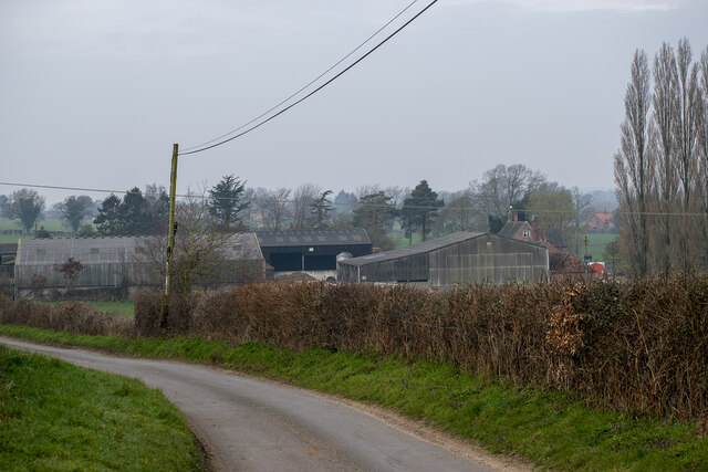
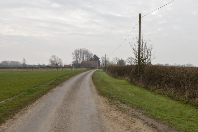
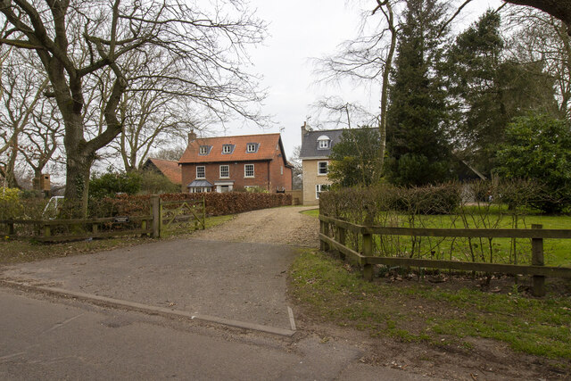
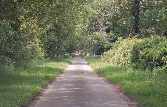
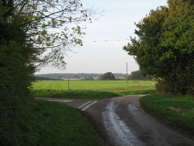
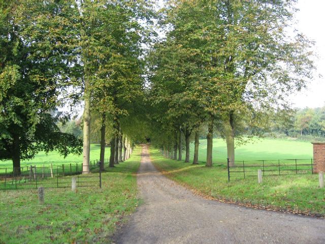
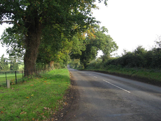
Walsis Wood is a picturesque forest located in Norfolk, England. Covering an area of approximately 50 acres, it is nestled in the heart of the Norfolk countryside, surrounded by rolling hills and farmland. The forest is predominantly composed of deciduous trees, such as oak, beech, and birch, which provide a stunning display of colors throughout the seasons.

Walsis Wood is a popular destination for nature enthusiasts and outdoor lovers. It offers a network of well-maintained walking trails that wind their way through the forest, allowing visitors to explore its beauty at their own pace. The trails are suitable for people of all ages and fitness levels, making it a perfect spot for a family day out or a peaceful solo hike.

The forest is also home to a diverse range of wildlife, including deer, squirrels, rabbits, and a variety of bird species. Nature lovers can often spot these animals while walking through the tranquil woodland, adding to the overall charm and appeal of Walsis Wood.

In addition to its natural beauty, the forest also has historical significance. It is believed to have been in existence since medieval times, and remnants of old settlements and fortifications can still be found within its boundaries. These historical features provide a glimpse into the area's rich past and add an element of intrigue to any visit.

Overall, Walsis Wood is a peaceful and enchanting forest that offers a serene escape from the hustle and bustle of everyday life. With its scenic trails, abundant wildlife, and historical significance, it is a must-visit destination for anyone seeking a connection with nature and a touch of tranquility in Norfolk.

If you have any feedback on the listing, please let us know in the comments section below.
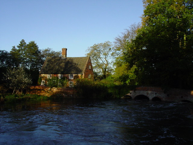
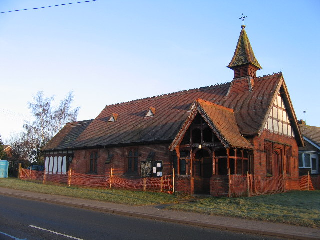
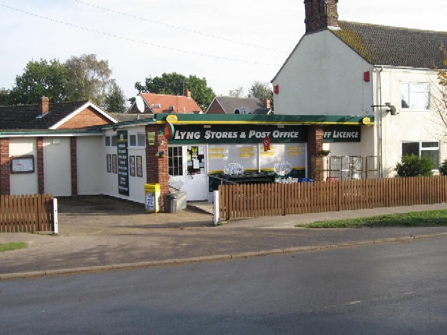
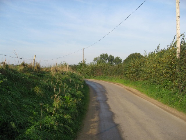
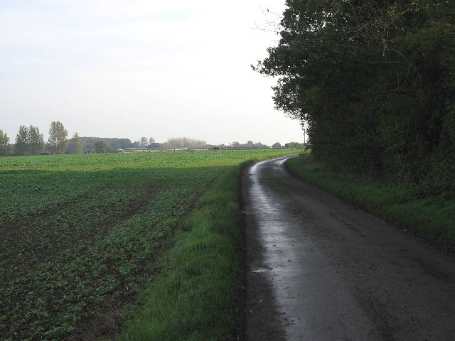
Walsis Wood Images

Images are sourced within 2km of 52.722789/1.0789182 or Grid Reference TG0818. Thanks to Geograph Open Source API. All images are credited.

Walnut Tree Farm Modern farm buildings at Walnut Tree Farm
Walnut Tree Farm
Modern farm buildings at Walnut Tree Farm
Bakers Farm Converted vernacular farm buildings at Bakers Farm
Bakers Farm
Converted vernacular farm buildings at Bakers Farm
Houses in Lyng Houses off Elsing Road
Houses in Lyng
Houses off Elsing Road
Blackwater Lane towards Sparham
The River Wensum at Lyng The River Wensum runs through a mill race here at Lyng.
The River Wensum at Lyng
The River Wensum runs through a mill race here at Lyng.
St. Faith's Church Lenwade <span class="nowrap"><a title="http://www.wensumgroup.org.uk/villages/lenwade.htm" rel="nofollow ugc noopener" href="http://www.wensumgroup.org.uk/villages/lenwade.htm">Link</a><img style="margin-left:2px;" alt="External link" title="External link - shift click to open in new window" src="https://s1.geograph.org.uk/img/external.png" width="10" height="10"/></span>
St. Faith's Church Lenwade
Lyng Stores And Post Office Seemingly a thriving business when compared with some Post Offices in nearby villages.
Lyng Stores And Post Office
Seemingly a thriving business when compared with some Post Offices in nearby villages.
A Turning For Lyng On the road between Collin Green Farm and Primrose Green.
A Turning For Lyng
On the road between Collin Green Farm and Primrose Green.
The  Driveway To Sparham Hall Between Lyng and Sparham.
The Driveway To Sparham Hall
Between Lyng and Sparham.
They Won't Fit In The Barn Straw bales and a barn close to Easthaugh.
They Won't Fit In The Barn
Straw bales and a barn close to Easthaugh.
The Road To Easthaugh From Ringland.
The Road To Easthaugh
From Ringland.
A Builder's Rural Yard Beside the road to Easthaugh.
A Builder's Rural Yard
Beside the road to Easthaugh.
Broadland Fuels At Lyng garage.
Broadland Fuels
At Lyng garage.
The Road To Hockering From Lyng.
The Road To Hockering
From Lyng.
A View To A White House Just outside Lyng.
A View To A White House
Just outside Lyng.
The Road To Sparham From Pockthorpe.
The Road To Sparham
From Pockthorpe.
The Road To Lyng From Sparham.
The Road To Lyng
From Sparham.
Holiday Homes At Catch 22 Fishery.
Holiday Homes
At Catch 22 Fishery.
Show me another place!

Walsis Wood is located at Grid Ref: TG0818 (Lat: 52.722789, Lng: 1.0789182)

Administrative County: Norfolk

District: Breckland

Police Authority: Norfolk

What 3 Words

///optimally.clenching.allow. Near Reepham, Norfolk

Nearby Locations

Walsis' Hill Walsis Wood

Related Wikis

Sparham Pools

Sparham Pools is a 12.2-hectare (30-acre) nature reserve south of Sparham in Norfolk. It is leased and managed by the Norfolk Wildlife Trust.These former...

A1067 road

The A1067 is an English A road entirely in the county of Norfolk. It runs from Fakenham Northern By-Pass (A148) to Norwich inner ring road (A147). �...

Lyng, Norfolk

Lyng is a village and civil parish in the English county of Norfolk. It is situated on the River Wensum, some 10 km (6.2 mi) north-east of the town of...

Sparham

Sparham is a village and civil parish in Norfolk, England. It covers an area of 7.22 km2 (2.79 sq mi) and had a population of 291 in 109 households at...

Nearby Amenities

Located within 500m of 52.722789,1.0789182
Barrier: narrow_gap
Note: A very narrow gap unsuitable for an overweight person. Gate open today no problem 18-10-2019
Lat/Long: 52.7235316/1.083454
Barrier: kissing_gate
Foot: yes
Material: wood
Lat/Long: 52.7253974/1.082811
Power: pole
Lat/Long: 52.7192904/1.0827863
Power: pole
Lat/Long: 52.7202213/1.0834193
Power: pole
Lat/Long: 52.7212367/1.0840738
Power: pole
Lat/Long: 52.7225559/1.083878
Power: pole
Lat/Long: 52.7235046/1.0837305
Power: pole
Lat/Long: 52.7246182/1.0837144
Barrier: kissing_gate
Foot: yes
Material: wood
Lat/Long: 52.7218523/1.0837223
Barrier: kissing_gate
Foot: yes
Material: wood
Lat/Long: 52.721887/1.0833568
The data included in this document is from www.openstreetmap.org. The data is made available under ODbL.

Have you been to Walsis Wood?

Leave your review of Walsis Wood below (or comments, questions and feedback).