Lodge Wood

Wood, Forest in Essex Tendring

England

Lodge Wood

Brightlingsea war memorial
Brightlingsea war memorial Credit: Helen Steed

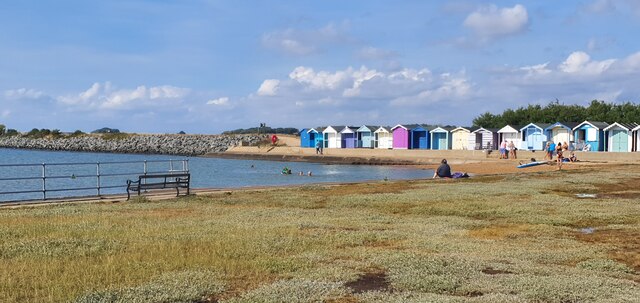
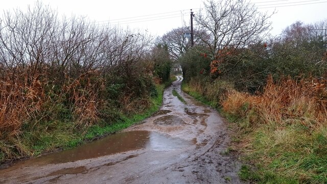
Lodge Wood is a picturesque forest located in Essex, England. Spread over a vast area, it is known for its rich biodiversity and stunning natural beauty. The wood is situated in a rural setting, surrounded by open fields and meadows, providing a tranquil escape from the bustling city life.

The forest is primarily composed of deciduous trees, including oak, birch, and beech. These trees create a dense canopy, providing a shady and cool atmosphere during the summer months. The forest floor is covered with a variety of wildflowers, ferns, and mosses, adding to its enchanting appeal.

Lodge Wood is home to a diverse range of wildlife species. Bird enthusiasts can expect to spot different species of woodpeckers, owls, and songbirds. The forest also provides a suitable habitat for mammals such as deer, foxes, and badgers. Visitors may even catch a glimpse of these elusive creatures during their visit.

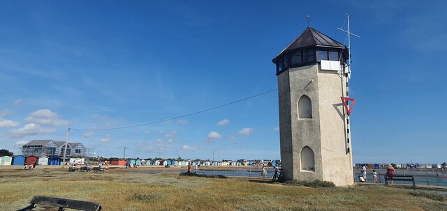
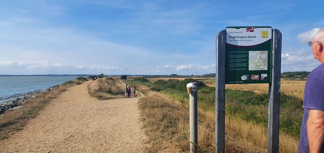
The wood offers various recreational activities for visitors. There are well-marked trails throughout the forest, allowing visitors to explore its hidden wonders. These trails are ideal for walking, jogging, or cycling, and offer breathtaking views of the surrounding landscape.

Lodge Wood is a popular destination for nature lovers, photographers, and families seeking a day out in the countryside. Its idyllic setting, coupled with its diverse flora and fauna, make it a haven for those looking to reconnect with nature. Whether it's a leisurely stroll through the forest or a picnic amidst the greenery, Lodge Wood offers a truly memorable experience for all who visit.

If you have any feedback on the listing, please let us know in the comments section below.
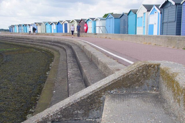
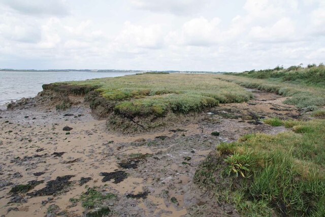
Lodge Wood Images

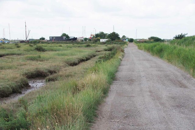
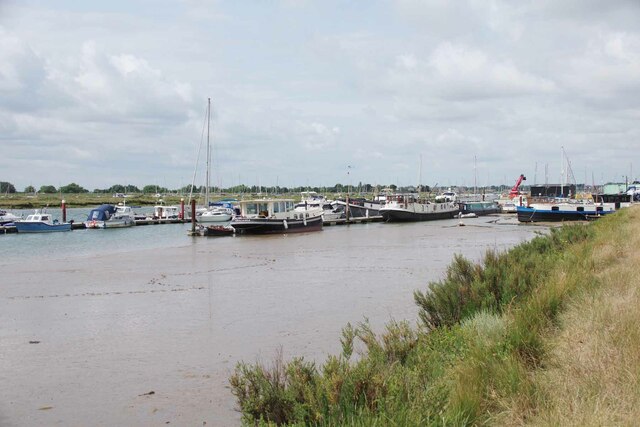
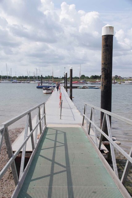
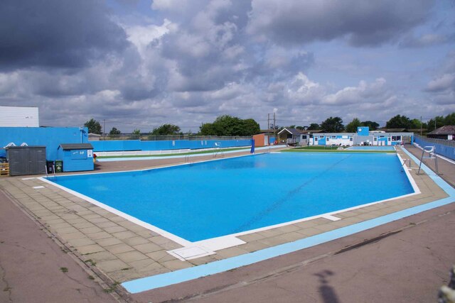
Images are sourced within 2km of 51.818833/1.0146776 or Grid Reference TM0717. Thanks to Geograph Open Source API. All images are credited.

Brightlingsea war memorial
Brightlingsea High Street
The former Royal Hotel on Francis Street
Western promenade, Brightlingsea
The beach and beach huts near Bateman's tower
Bateman's tower, Brightlingsea
Entrance to Brightlingsea Marsh nature reserve
Bateman's Tower, Brightlingsea Bateman's Tower in Brightlingsea, by the River Colne. A Folly built in 1883.
Bateman's Tower, Brightlingsea
Bateman's Tower in Brightlingsea, by the River Colne. A Folly built in 1883.
Muddy path to Brightlingsea A path leading from Brightlingsea Creek to the town.
Muddy path to Brightlingsea
A path leading from Brightlingsea Creek to the town.
Flowers and Victoria Place Looking towards the King's Head undergoing repairs
Flowers and Victoria Place
Looking towards the King's Head undergoing repairs
Ordinary Bicycle and Electric Bike An artistic bicycle rack masquerading as a penny farthing. In the background is <a href="https://www.geograph.org.uk/photo/7542883">TM0816 : Field Poppies and War memorial</a>.
Ordinary Bicycle and Electric Bike
An artistic bicycle rack masquerading as a penny farthing. In the background is TM0816 : Field Poppies and War memorial.
Field Poppies and War memorial In the memorial garden there is a marker recognising the ANZACS who were stationed in Brightlingsea 1916-18. It appears the current management scheme is to keep the grass well cropped on the west side and more wild on the east.
Field Poppies and War memorial
In the memorial garden there is a marker recognising the ANZACS who were stationed in Brightlingsea 1916-18. It appears the current management scheme is to keep the grass well cropped on the west side and more wild on the east.
A Brightlingsea Byway This is Brightlingsea Byway 13.
A Brightlingsea Byway
This is Brightlingsea Byway 13.
Moorings in Brightlingsea Creek
Landing Stage for Point Clear and East Mersea During the summer months there is a regular ferry service from here to Mersea via Point Clear.
Landing Stage for Point Clear and East Mersea
During the summer months there is a regular ferry service from here to Mersea via Point Clear.
Brightlingsea Lido First opened in 1932 like most open air pools it fell out of favour and was due to be closed. However a group of locals banded together and the facility was relaunched in 2018.  See <span class="nowrap"><a title="https://historicpools.org.uk/member_pools/brightlingsea-lido/" rel="nofollow ugc noopener" href="https://historicpools.org.uk/member_pools/brightlingsea-lido/">Link</a><img style="margin-left:2px;" alt="External link" title="External link - shift click to open in new window" src="https://s1.geograph.org.uk/img/external.png" width="10" height="10"/></span> for more info.
Brightlingsea Lido
First opened in 1932 like most open air pools it fell out of favour and was due to be closed. However a group of locals banded together and the facility was relaunched in 2018. See LinkExternal link for more info.
Brightlingsea Beach Huts The estate agents in Brightlingsea often advertise huts. Most for more than my house cost thirty years ago!
Brightlingsea Beach Huts
The estate agents in Brightlingsea often advertise huts. Most for more than my house cost thirty years ago!
Squeezed Saltmarsh This is an example of coastal squeeze where the natural saltmarsh is squeezed against the sea wall. The outer edge is subject to erosion creating a <a href="https://www.geograph.org.uk/photo/7542909">TM0616 : Mud Cliffs</a>. As the sea level rises the salt marsh habitat will vanish unless there is some managed retreat.
Squeezed Saltmarsh
This is an example of coastal squeeze where the natural saltmarsh is squeezed against the sea wall. The outer edge is subject to erosion creating a TM0616 : Mud Cliffs. As the sea level rises the salt marsh habitat will vanish unless there is some managed retreat.
Show me another place!

Lodge Wood is located at Grid Ref: TM0717 (Lat: 51.818833, Lng: 1.0146776)

Administrative County: Essex

District: Tendring

Police Authority: Essex

What 3 Words

///comments.trustees.ourselves. Near Brightlingsea, Essex

Nearby Locations

Wick's Wood Lodge Wood

Related Wikis

Brightlingsea Regent F.C.

Brightlingsea Regent Football Club is an English football club based in Brightlingsea, Essex. Formed by a merger of Brightlingsea United and Regent Park...

Brightlingsea railway station

Brightlingsea railway station was located in Brightlingsea, Essex. It was on the single track branch line of the Wivenhoe and Brightlingsea Railway which...
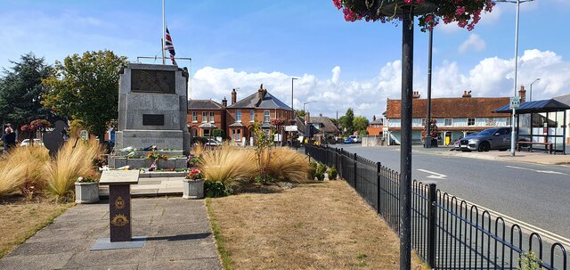
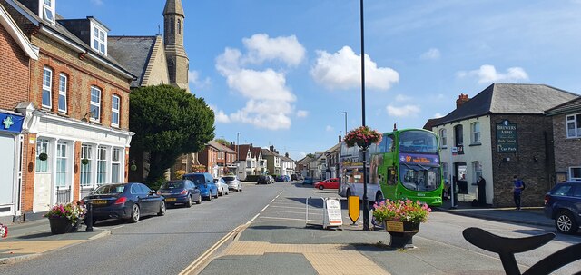
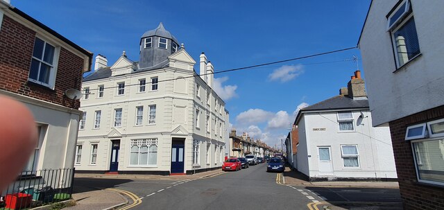
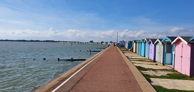
Brightlingsea

Brightlingsea () is a coastal town and an electoral ward in the Tendring district of Essex, England. It is situated between Colchester and Clacton-on-Sea...

Battle of Brightlingsea

The Battle of Brightlingsea refers to a series of protests by animal rights supporters held in Brightlingsea, England, between 16 January and 30 October...

Nearby Amenities

Located within 500m of 51.818833,1.0146776
Noexit: yes
Lat/Long: 51.8154784/1.0160464
Post Box
Postal Code: CO7 0RE
Ref: CO7 412
Lat/Long: 51.8225401/1.0184516
Barrier: cycle_barrier
Bicycle: yes
Foot: yes
Lat/Long: 51.8176909/1.0214451
Mapillary: 433823085019869
Removed Amenity: telephone
Survey Date: 2021-11-20
Lat/Long: 51.8210074/1.0184082
Bus Stop
Strangers Corner
Bus: yes
Naptan AtcoCode: 150032004012
Naptan Bearing: NW
Naptan CommonName: Strangers Corner
Naptan Crossing: Maltings Road
Naptan Indicator: NW-bound
Naptan Landmark: Strangers Corner
Naptan NaptanCode: esxgjmgd
Naptan Street: Church Road
Naptan Verified: no
Public Transport: platform
Source: naptan_import
Lat/Long: 51.8213001/1.0175219
Bus Stop
Strangers Corner
Bus: yes
Naptan AtcoCode: 150032004013
Naptan Bearing: SE
Naptan CommonName: Strangers Corner
Naptan Crossing: Maltings Road
Naptan Indicator: SE-bound
Naptan Landmark: Strangers Corner
Naptan NaptanCode: esxgjmgj
Naptan Street: Church Road
Naptan Verified: no
Public Transport: platform
Source: naptan_import
Lat/Long: 51.8211128/1.0180649
Bus Stop
Colne School
Bus: yes
Naptan AtcoCode: 1500IM2530
Naptan Bearing: NW
Naptan CommonName: Colne School
Naptan Crossing: Manor House Way
Naptan Indicator: N-bound
Naptan Landmark: Colne School
Naptan NaptanCode: esxgjmgm
Naptan Street: Church Road
Public Transport: platform
Shelter: yes
Source: naptan_import;survey
Lat/Long: 51.819343/1.0211977
Barrier: bollard
Lat/Long: 51.8163111/1.0187242
Defibrillator
Access: yes
Defibrillator Location: On side wall of garage at corner nearest home entrance
Emergency: defibrillator
Indoor: no
Ref GB The Circuit: 183AE63B-A841-45CE-93CF-ADF000D980C7
Lat/Long: 51.8215557/1.0165778
The data included in this document is from www.openstreetmap.org. The data is made available under ODbL.

Have you been to Lodge Wood?

Leave your review of Lodge Wood below (or comments, questions and feedback).