Four Crosses
Settlement in Staffordshire South Staffordshire
England
Four Crosses
Four Crosses is a small village located in the county of Staffordshire, England. Situated approximately 7 miles north-west of the town of Cannock, it lies within the Cannock Chase District. The village is positioned near the intersection of several major roads, giving it its name "Four Crosses."
The village is primarily residential, with a population of around 2,000 people. The houses in Four Crosses are a mix of traditional brick-built cottages and more modern properties. The village also has a small number of local amenities, including a convenience store, a post office, and a primary school.
One of the notable landmarks in Four Crosses is the Grade II listed St. Augustine's Church, which dates back to the 19th century. This church serves as a focal point for the community and holds regular services and events.
The surrounding area of Four Crosses is known for its picturesque countryside and natural beauty. The village is situated on the edge of Cannock Chase, an Area of Outstanding Natural Beauty. This designation attracts many visitors to the area, who come to explore the woodland, heathland, and wildlife.
Four Crosses benefits from its proximity to larger towns and cities. The nearby town of Cannock offers a wider range of amenities, including shopping centers, leisure facilities, and a railway station. The village also enjoys good transport links, with major roads such as the A460 and A5 connecting it to other parts of Staffordshire and beyond.
If you have any feedback on the listing, please let us know in the comments section below.
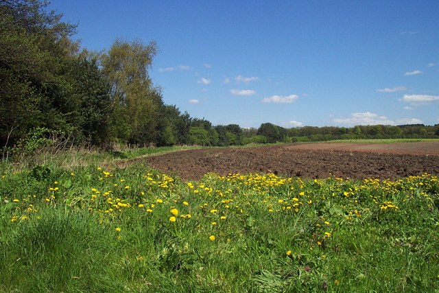
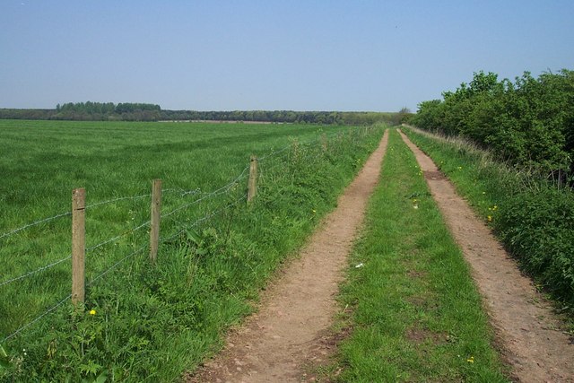
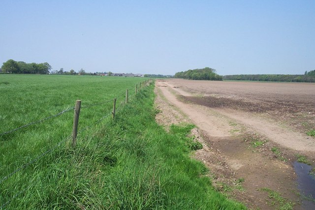
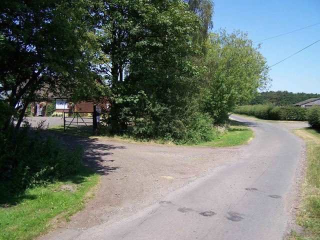
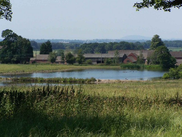
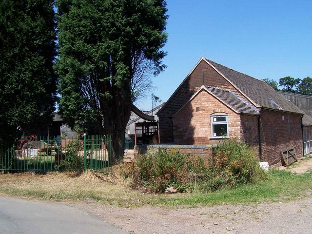
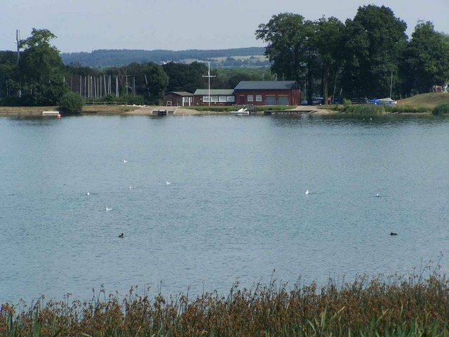
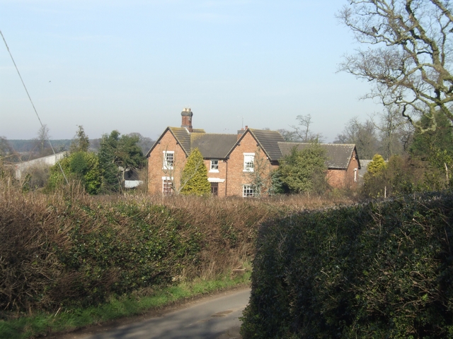
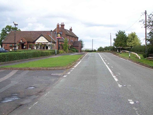
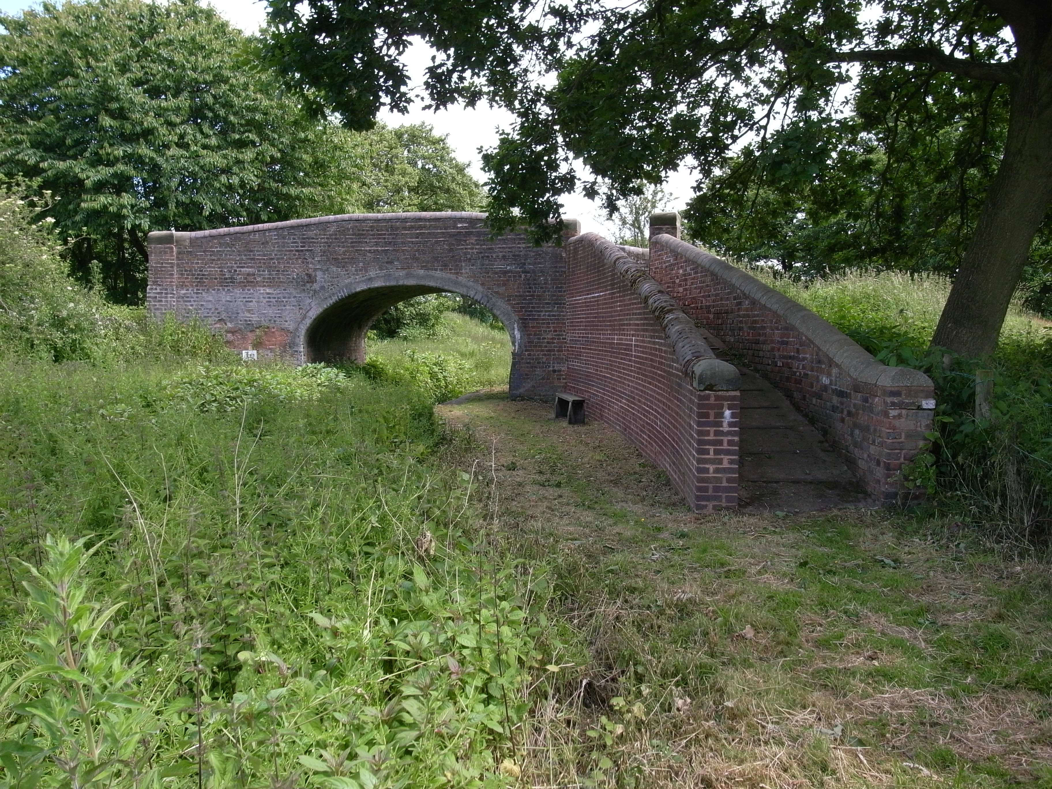
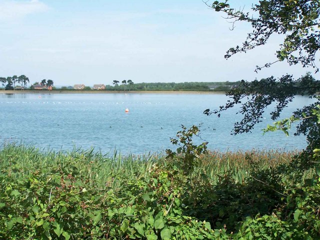
Four Crosses Images
Images are sourced within 2km of 52.682698/-2.071711 or Grid Reference SJ9509. Thanks to Geograph Open Source API. All images are credited.


Four Crosses is located at Grid Ref: SJ9509 (Lat: 52.682698, Lng: -2.071711)
Administrative County: Staffordshire
District: South Staffordshire
Police Authority: Staffordshire
What 3 Words
///bride.probe.invest. Near Cannock, Staffordshire
Nearby Locations
Related Wikis

Four Crosses, Staffordshire
Four Crosses in South Staffordshire, Staffordshire, England. Is a scattered hamlet located between Cannock and Wolverhampton. As well as Penkridge and...

Cannock Hockey Club
Cannock Hockey Club are an English professional field hockey team. They were established in 1905, and are based in the village of Hatherton, near Cannock...

Hatherton, Staffordshire
Hatherton is a settlement and civil parish located 3+1⁄4 miles (5.2 km) south-east of Penkridge, and on the western edge of modern-day Cannock, Staffordshire...
Wedges Mills
Wedges Mills is a small village in the South Staffordshire District in Staffordshire, England, close to the border with Cannock Chase District. The area...
Hatherton Canal
The Hatherton Canal is a derelict branch of the Staffordshire and Worcestershire Canal in south Staffordshire, England. It was constructed in two phases...
Saredon
Saredon is a civil parish in South Staffordshire district, Staffordshire, England, situated to the north east of Wolverhampton, West Midlands, and to the...
Gailey Reservoirs
Gailey Reservoir is a pair of canal feeder reservoirs in South Staffordshire, separated by a dam, and owned by the Canal & River Trust. Gailey Upper Reservoir...

Cuttleston
Cuttleston or Cuttlestone is a hundred in the county of Staffordshire, England, located in the centre of that county, south of Stafford. Cuttleston was...
Nearby Amenities
Located within 500m of 52.682698,-2.071711Have you been to Four Crosses?
Leave your review of Four Crosses below (or comments, questions and feedback).