James Wood
Wood, Forest in Norfolk Broadland
England
James Wood
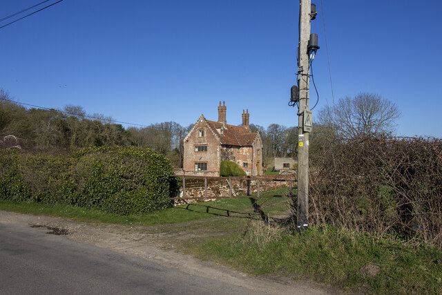
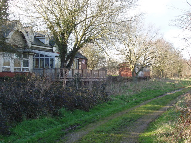
James Wood is a small village located in Norfolk, England. Situated in the heart of the Norfolk Broads, it is surrounded by picturesque woodlands and enchanting forests, hence its name. With a population of around 500 residents, James Wood offers a peaceful and tight-knit community.
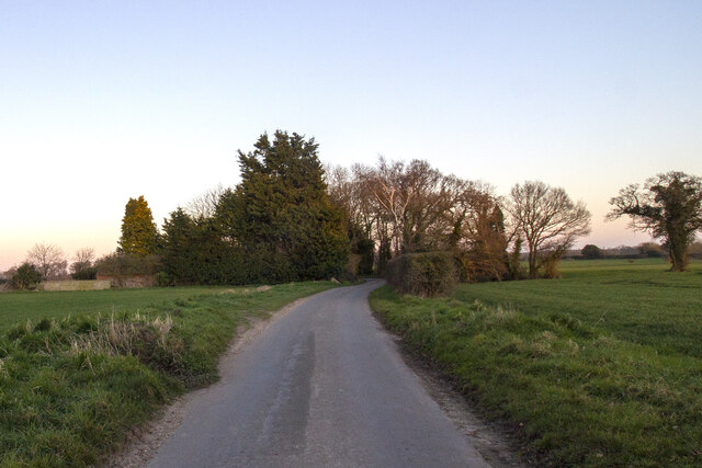
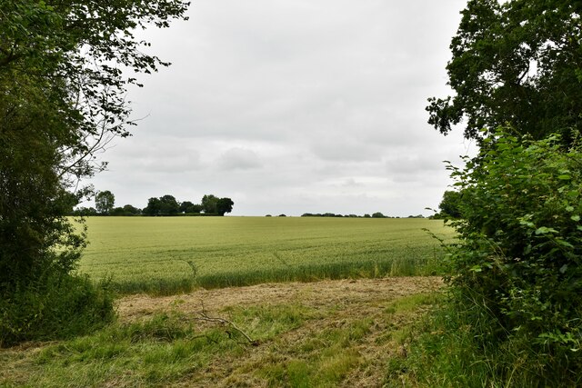
The village is known for its stunning natural beauty, attracting nature enthusiasts and outdoor lovers from near and far. The woodlands surrounding James Wood are home to a diverse range of flora and fauna, providing ample opportunities for hiking, birdwatching, and photography. The area is especially popular during the spring months when the woods come alive with vibrant wildflowers and the songs of various bird species.
In terms of amenities, James Wood boasts a charming village center with a few local shops, a traditional pub, and a small primary school. The village hall serves as a hub for social gatherings and community events, fostering a strong sense of togetherness among its inhabitants. Additionally, the nearby town of Norwich is easily accessible, providing residents with a wider range of amenities, including supermarkets, shopping centers, and entertainment venues.
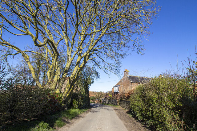
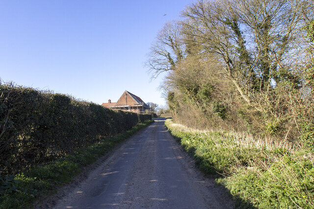
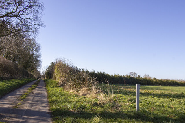
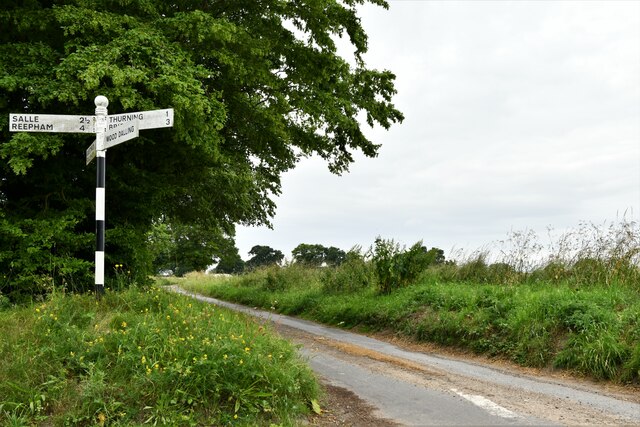
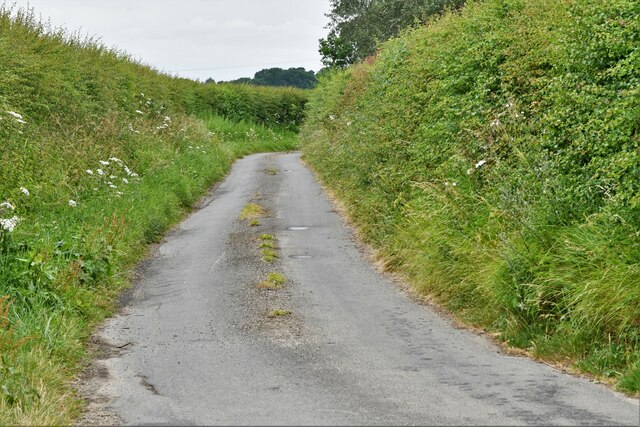
James Wood is well-connected to the rest of Norfolk through a network of well-maintained roads, making it a convenient base for exploring the surrounding areas. The village also benefits from regular bus services, ensuring easy access to nearby towns and cities.
Overall, James Wood offers a tranquil and idyllic setting for those seeking a peaceful rural lifestyle amidst the natural beauty of Norfolk's woodlands and forests.
If you have any feedback on the listing, please let us know in the comments section below.
James Wood Images
Images are sourced within 2km of 52.809242/1.0725612 or Grid Reference TG0727. Thanks to Geograph Open Source API. All images are credited.


James Wood is located at Grid Ref: TG0727 (Lat: 52.809242, Lng: 1.0725612)
Administrative County: Norfolk
District: Broadland
Police Authority: Norfolk
What 3 Words
///storming.leans.toenail. Near Briston, Norfolk
Nearby Locations
Related Wikis

Guestwick
Guestwick is a village and a civil parish in the English county of Norfolk. The village is 19.6 miles (31.5 km) south-west of Cromer, 18.7 miles (30.1...

Thurning, Norfolk
Thurning is a small dispersed village and civil parish in the English county of Norfolk and district of North Norfolk, near the border with Broadland....

Wood Dalling
Wood Dalling is a village and civil parish in Norfolk, England. It is located 8 miles (13 km) south of Holt and 3 miles (4.8 km) north of Reepham, the...

Nethergate, Norfolk
Nethergate is a hamlet within the civil parish of Hindolveston in the English county of Norfolk. The hamlet is 15.9 miles (25.6 km) west-south-west of...

Guestwick railway station
Guestwick railway station is a former station in Norfolk, England. It was constructed by the Midland and Great Northern Joint Railway in 1882 on the line...
Hindolvestone railway station
Hindolvestone railway station was in North Norfolk, England. It was part of the Midland and Great Northern Joint Railway branch from Melton Constable to...

Corpusty
Corpusty is a village and former civil parish, now in the parish of Corpusty and Saxthorpe, in the North Norfolk district, in the county of Norfolk, England...

Hindolveston
Hindolveston is a village and civil parish in the English county of Norfolk. The village is 17.5 miles (28.2 km) west-south-west of Cromer, 20.8 miles...
Nearby Amenities
Located within 500m of 52.809242,1.0725612Have you been to James Wood?
Leave your review of James Wood below (or comments, questions and feedback).