Pippin's Heath Plantation

Wood, Forest in Norfolk North Norfolk

England

Pippin's Heath Plantation

Holt Country Park
Holt Country Park Credit: Chris Holifield

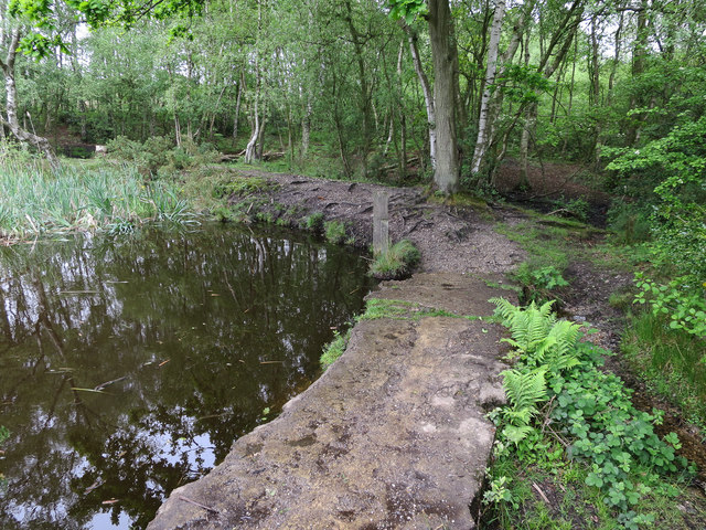
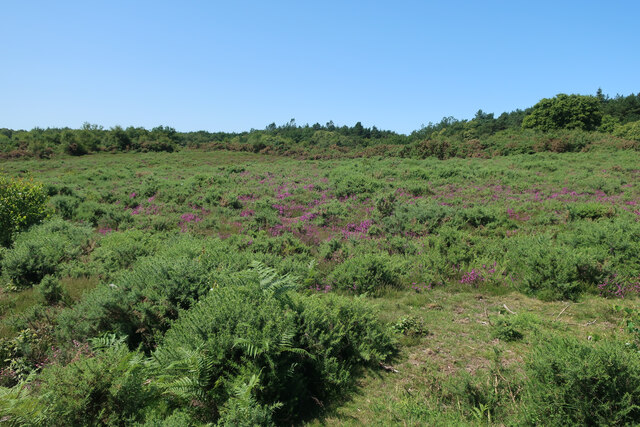
Pippin's Heath Plantation, located in Norfolk, England, is a picturesque woodland area encompassing approximately 200 acres. Nestled within the heart of the Norfolk countryside, this plantation is renowned for its natural beauty and diverse ecosystem.

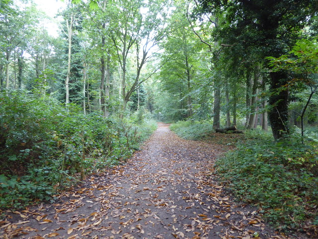
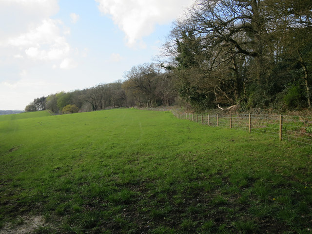
The plantation predominantly consists of a mix of deciduous and coniferous trees, creating a harmonious blend of colors throughout the seasons. Oak, beech, and birch trees dominate the landscape, providing a canopy of shade during the summer months. Towering pines and spruces add depth and texture to the woodland, creating a sense of enchantment.

The plantation boasts a rich history, dating back several centuries. It was once used as a hunting ground by local aristocracy, and remnants of ancient hunting lodges can still be found within its bounds. The area became a designated forest in the 19th century, leading to the establishment of a protected nature reserve in the early 20th century.

Pippin's Heath Plantation is home to a diverse array of wildlife. Deer roam freely throughout the woodland, and their presence adds to the area's natural charm. Numerous bird species, including woodpeckers, owls, and songbirds, can be spotted among the branches. Additionally, the plantation houses a variety of small mammals, such as foxes, squirrels, and rabbits, further enriching the ecosystem.

Visitors to Pippin's Heath Plantation can enjoy a range of outdoor activities. Walking and hiking trails meander through the woodland, offering scenic views and opportunities for nature observation. The plantation also provides a tranquil setting for picnics and relaxation, allowing individuals to escape the hustle and bustle of everyday life.

Overall, Pippin's Heath Plantation is a captivating destination for nature enthusiasts, offering a serene and captivating experience in the heart of Norfolk's woodlands.

If you have any feedback on the listing, please let us know in the comments section below.

Pippin's Heath Plantation Images

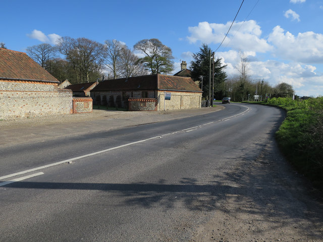
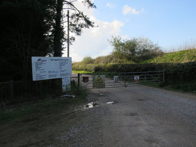
Images are sourced within 2km of 52.88654/1.0744748 or Grid Reference TG0636. Thanks to Geograph Open Source API. All images are credited.

Holt Country Park
Holt Country Park
Field near Hunworth
Field near Hunworth
Halfway House
Halfway House
Near Pippin's Heath Farm
Norwich Road leaving Holt
Holt Quarry and Recycling
Pond in Holt Lowes A good area for dragonflies, on sunnier days.
Pond in Holt Lowes
A good area for dragonflies, on sunnier days.
Thornage Village Sign Thornage is a village south-west of Holt on the B1110, Holt to Dereham road. The sign features the Bishop of Norwich in 1580 and Thornage Hall on this side and a forge on the other side. It has recently been restored.
Thornage Village Sign
Thornage is a village south-west of Holt on the B1110, Holt to Dereham road. The sign features the Bishop of Norwich in 1580 and Thornage Hall on this side and a forge on the other side. It has recently been restored.
Thornage Village Sign and the B1110 Thornage is a village south-west of Holt on the B1110, Holt to Dereham road. The sign features a forge on this side and the Bishop of Norwich in 1580 and Thornage Hall on the other side. It has recently been restored.
Thornage Village Sign and the B1110
Thornage is a village south-west of Holt on the B1110, Holt to Dereham road. The sign features a forge on this side and the Bishop of Norwich in 1580 and Thornage Hall on the other side. It has recently been restored.
Edgefield Hill on the B 1149
Joining the B1149 north of Edgefield
Old Milestone by the B1149, Holt Country Park, Holt Parish Carved stone post by the B1149, in parish of HOLT (NORTH NORFOLK District), 60yds North of Footpath stile, about ½ mile South of Holt Country Park entrance, on the verge under trees, on West side of road. Holt diamond, erected by an unknown authority in the 19th century. 

Inscription reads:-
: 1 / MILE / TO / HOLT : : HOLT : : 20 / MILES / TO / NORWICH :

Norfolk HER listed
NHER Number: 56459 <span class="nowrap"><a title="https://www.heritagegateway.org.uk/Gateway/Results_Single.aspx?uid=MNF62884&resourceID=1002" rel="nofollow ugc noopener" href="https://www.heritagegateway.org.uk/Gateway/Results_Single.aspx?uid=MNF62884&resourceID=1002">Link</a><img style="margin-left:2px;" alt="External link" title="External link - shift click to open in new window" src="https://s1.geograph.org.uk/img/external.png" width="10" height="10"/></span>

Milestone Society National ID: NO_NH20.
Old Milestone by the B1149, Holt Country Park, Holt Parish
Carved stone post by the B1149, in parish of HOLT (NORTH NORFOLK District), 60yds North of Footpath stile, about ½ mile South of Holt Country Park entrance, on the verge under trees, on West side of road. Holt diamond, erected by an unknown authority in the 19th century. Inscription reads:- : 1 / MILE / TO / HOLT : : HOLT : : 20 / MILES / TO / NORWICH : Norfolk HER listed NHER Number: 56459 LinkExternal link Milestone Society National ID: NO_NH20.
Old Milestone by the B1110, Thornage Road, Holt parish Carved stone post by the B1110, in parish of HOLT (NORTH NORFOLK District), by Oakhill House, on the verge, on West side of road. Erected by an unknown authority in the 19th century. Apparently re-located from its position further Northeast. 

Inscription reads:-
: 1 / MILE / TO / HOLT : : HOLT : : 17 / MILES / TO / DEREHAM :
Carved benchmark on top front.

Norfolk HER. 
NHER Number: 57107 <span class="nowrap"><a title="https://www.heritagegateway.org.uk/Gateway/Results_Single.aspx?uid=MNF63480&resourceID=1002" rel="nofollow ugc noopener" href="https://www.heritagegateway.org.uk/Gateway/Results_Single.aspx?uid=MNF63480&resourceID=1002">Link</a><img style="margin-left:2px;" alt="External link" title="External link - shift click to open in new window" src="https://s1.geograph.org.uk/img/external.png" width="10" height="10"/></span>

Milestone Society National ID: NO_HD01.
Old Milestone by the B1110, Thornage Road, Holt parish
Carved stone post by the B1110, in parish of HOLT (NORTH NORFOLK District), by Oakhill House, on the verge, on West side of road. Erected by an unknown authority in the 19th century. Apparently re-located from its position further Northeast. Inscription reads:- : 1 / MILE / TO / HOLT : : HOLT : : 17 / MILES / TO / DEREHAM : Carved benchmark on top front. Norfolk HER. NHER Number: 57107 LinkExternal link Milestone Society National ID: NO_HD01.
Old Milestone by the B1110, Thornage parish Carved stone post by the B1110, in the parish of Thornage (North Norfolk District), about halfway between the lane to Hunworth to the South, and Hill House, on high narrow verge backed by arable field, on Northwest side of road. Erected by an unknown authority in the 19th century. 

Inscription reads:-
: 2 / Miles / to / HOLT : : TH(ORNAGE) : : 122 / Miles / from / LONDON :
was
: 16 / (MILES) / (TO) / (D)EREHA(M) :
Carved benchmark on right side (seen 1986).

Norfolk HER.
NHER Number: 56509 <span class="nowrap"><a title="https://www.heritagegateway.org.uk/Gateway/Results_Single.aspx?uid=MNF62919&resourceID=1002" rel="nofollow ugc noopener" href="https://www.heritagegateway.org.uk/Gateway/Results_Single.aspx?uid=MNF62919&resourceID=1002">Link</a><img style="margin-left:2px;" alt="External link" title="External link - shift click to open in new window" src="https://s1.geograph.org.uk/img/external.png" width="10" height="10"/></span>

Milestone Society National ID: NO_HD02
Old Milestone by the B1110, Thornage parish
Carved stone post by the B1110, in the parish of Thornage (North Norfolk District), about halfway between the lane to Hunworth to the South, and Hill House, on high narrow verge backed by arable field, on Northwest side of road. Erected by an unknown authority in the 19th century. Inscription reads:- : 2 / Miles / to / HOLT : : TH(ORNAGE) : : 122 / Miles / from / LONDON : was : 16 / (MILES) / (TO) / (D)EREHA(M) : Carved benchmark on right side (seen 1986). Norfolk HER. NHER Number: 56509 LinkExternal link Milestone Society National ID: NO_HD02
Ford  through  River  Glaven  Letheringsett At the end of Riverside Road. Letheringsett
Ford through River Glaven Letheringsett
At the end of Riverside Road. Letheringsett
Thornage village sign This side of the sign depicts bishop James Goldwell and Thornage Hall where he lived and had a deer park. It makes you wonder where he got all the money to pay for it. The other side of the sign <a title="https://www.geograph.org.uk/photo/4581343" href="https://www.geograph.org.uk/photo/4581343">Link</a> depicts the 19th century brass and iron foundry founded (no pun intended)  by John Mann. The falcon which is on the shield atop the sign represents, falconry which was something else the bishop enjoyed at the expense of the common man. <a title="https://www.geograph.org.uk/photo/4581341" href="https://www.geograph.org.uk/photo/4581341">Link</a>
Thornage village sign
This side of the sign depicts bishop James Goldwell and Thornage Hall where he lived and had a deer park. It makes you wonder where he got all the money to pay for it. The other side of the sign Link depicts the 19th century brass and iron foundry founded (no pun intended) by John Mann. The falcon which is on the shield atop the sign represents, falconry which was something else the bishop enjoyed at the expense of the common man. Link
Heathland at Holt Lowes A good area of wet and dry heath.
Heathland at Holt Lowes
A good area of wet and dry heath.
Ford near Letheringsett A sign warns the road crossing is 'Unsuitable for motor vehicles' and deep ledges have now been worn underwater by the passing of the river.
Ford near Letheringsett
A sign warns the road crossing is 'Unsuitable for motor vehicles' and deep ledges have now been worn underwater by the passing of the river.
Show me another place!

Pippin's Heath Plantation is located at Grid Ref: TG0636 (Lat: 52.88654, Lng: 1.0744748)

Administrative County: Norfolk

District: North Norfolk

Police Authority: Norfolk

What 3 Words

///milkman.ballpoint.eggplants. Near Briston, Norfolk

Related Wikis

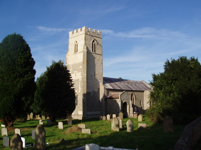
St Lawrence Parish Church, Hunworth

St Lawrence Parish Church is a Grade II* listed building in the village of Hunworth in Norfolk, England. The church is dedicated to Saint Lawrence who...

Hunworth

Hunworth is a village and former civil parish, now in the parish of Stody, in the North Norfolk district, in the county of Norfolk, England. The village...
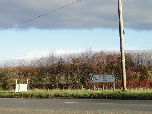
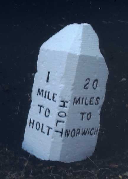
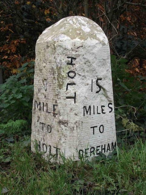
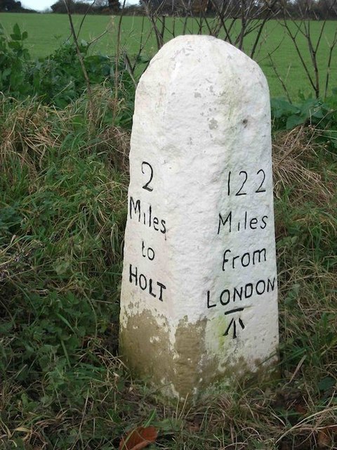
Holt, Norfolk

Holt is a market town, civil parish and electoral ward in the English county of Norfolk. The town is 22.8 miles (36.7 km) north of the city of Norwich...
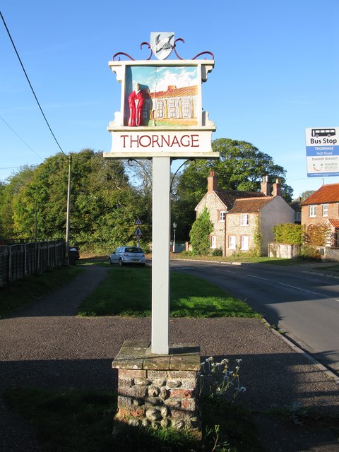
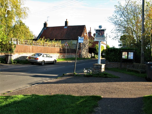
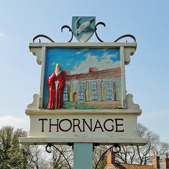
Thornage

Thornage is a village and a civil parish in the English county of Norfolk. The village is 2.7 miles south-west of Holt, 23.2 miles north-west of Norwich...

Nearby Amenities

Located within 500m of 52.88654,1.0744748
Pippin Heath
Phone: +44 1263713751
Tourism: caravan_site
Lat/Long: 52.8842535/1.0803227
The data included in this document is from www.openstreetmap.org. The data is made available under ODbL.

Have you been to Pippin's Heath Plantation?

Leave your review of Pippin's Heath Plantation below (or comments, questions and feedback).