Beach Close Plantation
Wood, Forest in Norfolk North Norfolk
England
Beach Close Plantation
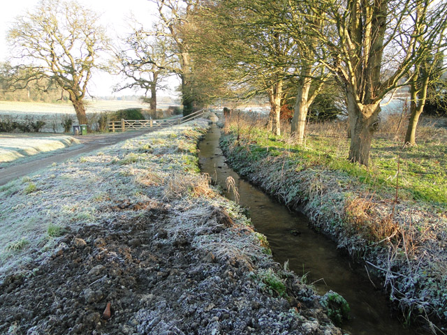
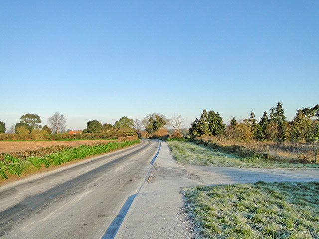
Beach Close Plantation is a picturesque woodland located in Norfolk, England. Situated near the village of Wood, the plantation covers an area of approximately 200 acres, making it a substantial forested area in the region. The woodland is renowned for its natural beauty and diverse ecosystem, attracting nature enthusiasts and hikers alike.
The plantation is characterized by a mix of broadleaf and coniferous trees, including oak, beech, pine, and birch. This diverse tree population creates a rich habitat for various wildlife species, such as deer, foxes, and a wide range of bird species. It is not uncommon to spot a red squirrel or two scurrying through the trees, adding to the enchanting atmosphere of the woodland.
The forest is crisscrossed by a network of well-maintained walking trails, allowing visitors to explore its enchanting beauty. These trails offer different levels of difficulty, catering to both casual strollers and more experienced hikers. Along the way, visitors will come across tranquil streams, small ponds, and breathtaking viewpoints, providing ample opportunities for relaxation and immersing oneself in nature.
Beach Close Plantation is a popular destination for nature lovers, photographers, and families seeking a peaceful retreat. The plantation is managed by a dedicated team of conservationists who strive to preserve the natural integrity of the woodland while ensuring it remains accessible to the public.
Overall, Beach Close Plantation in Norfolk is a must-visit destination for anyone seeking solace in nature and a chance to immerse themselves in the beauty of England's woodlands.
If you have any feedback on the listing, please let us know in the comments section below.
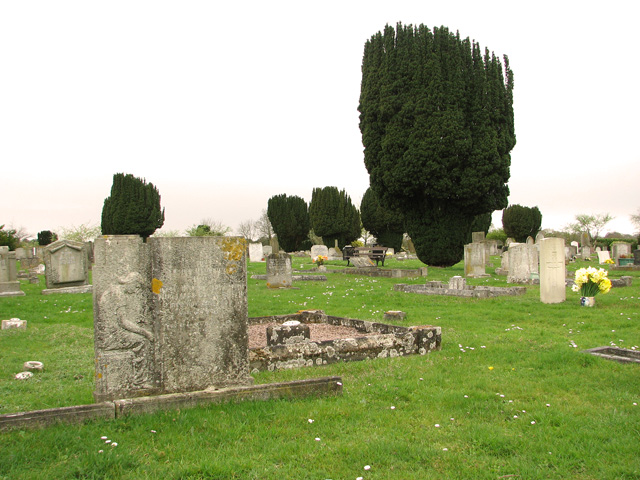
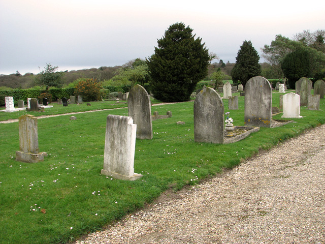
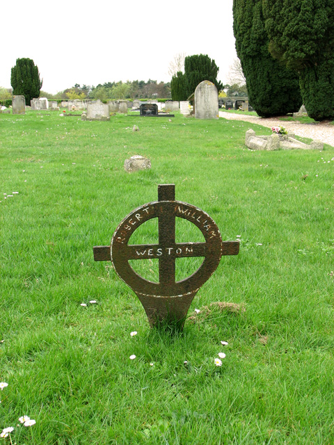
Beach Close Plantation Images
Images are sourced within 2km of 52.927894/1.0749956 or Grid Reference TG0641. Thanks to Geograph Open Source API. All images are credited.


Beach Close Plantation is located at Grid Ref: TG0641 (Lat: 52.927894, Lng: 1.0749956)
Administrative County: Norfolk
District: North Norfolk
Police Authority: Norfolk
What 3 Words
///agents.loses.decently. Near Briston, Norfolk
Nearby Locations
Related Wikis

Glandford (Hurdle Lane)
Glandford (Hurdle Lane) is a 9.4-hectare (23-acre) geological Site of Special Scientific Interest west of Sheringham in Norfolk. It is a Geological Conservation...
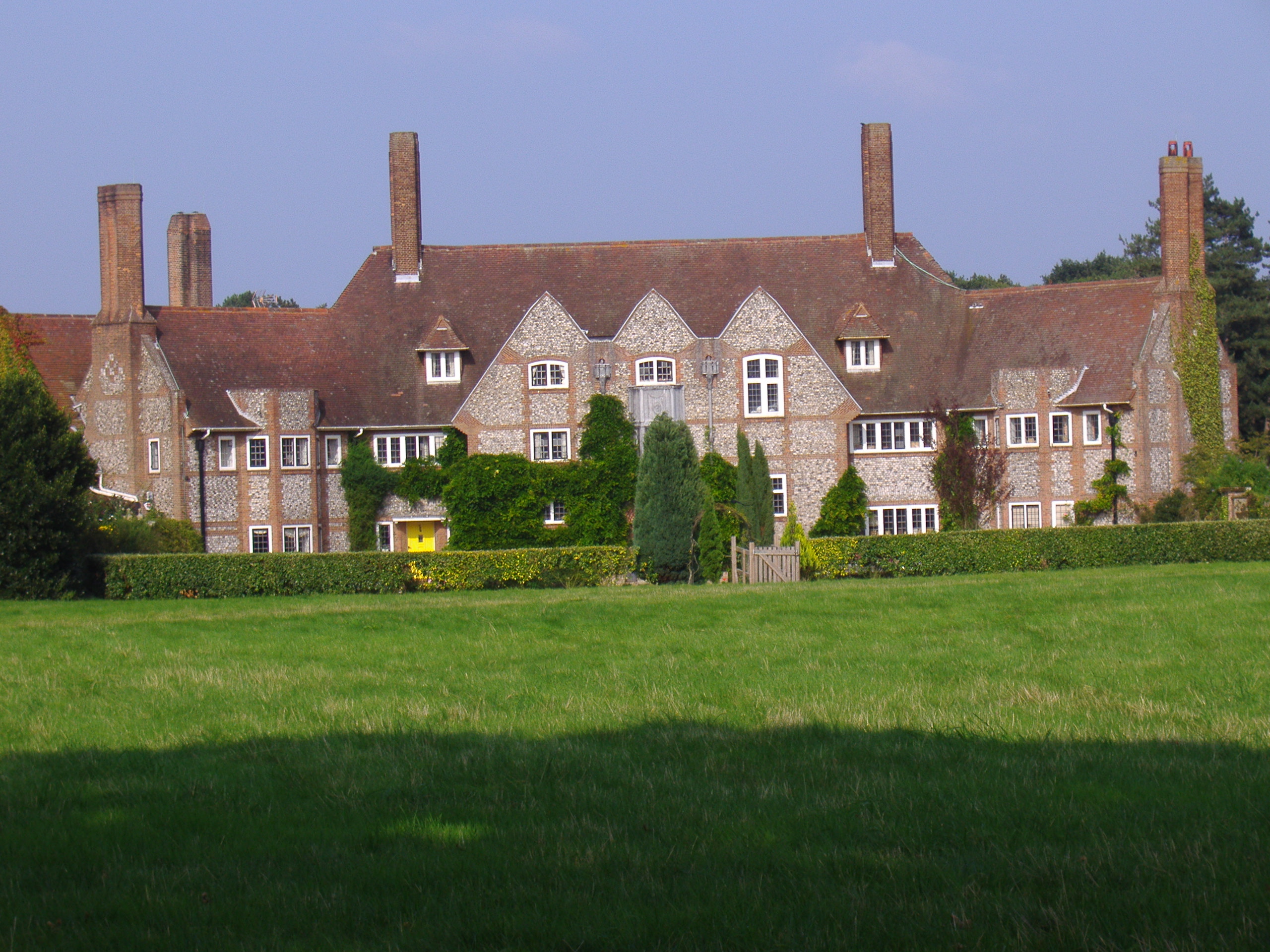
Kelling Hall
Kelling Hall is a Grade II* listed building situated in the civil parish of Kelling in the English county of Norfolk. It is 0.7 miles from the parish of...
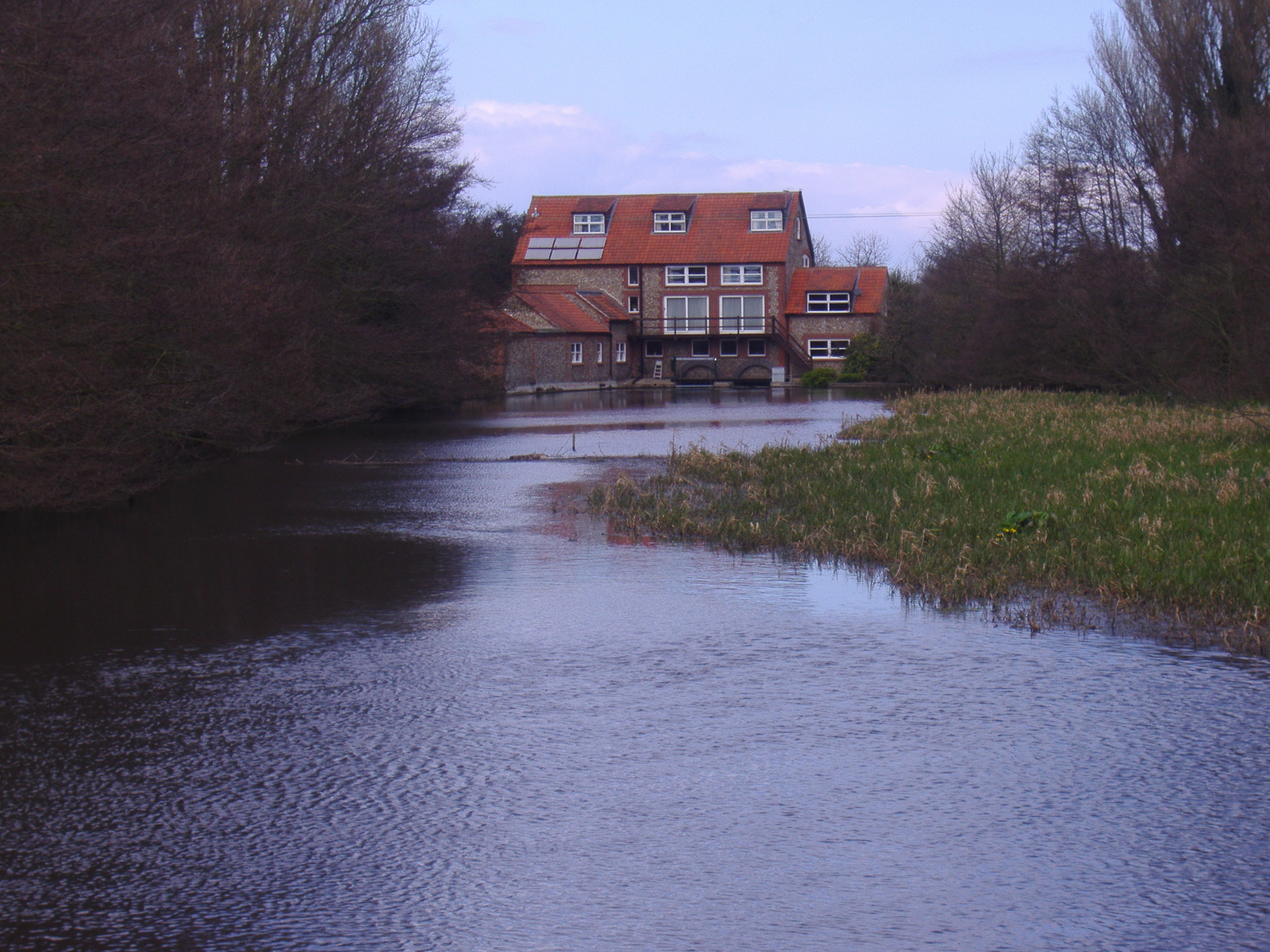
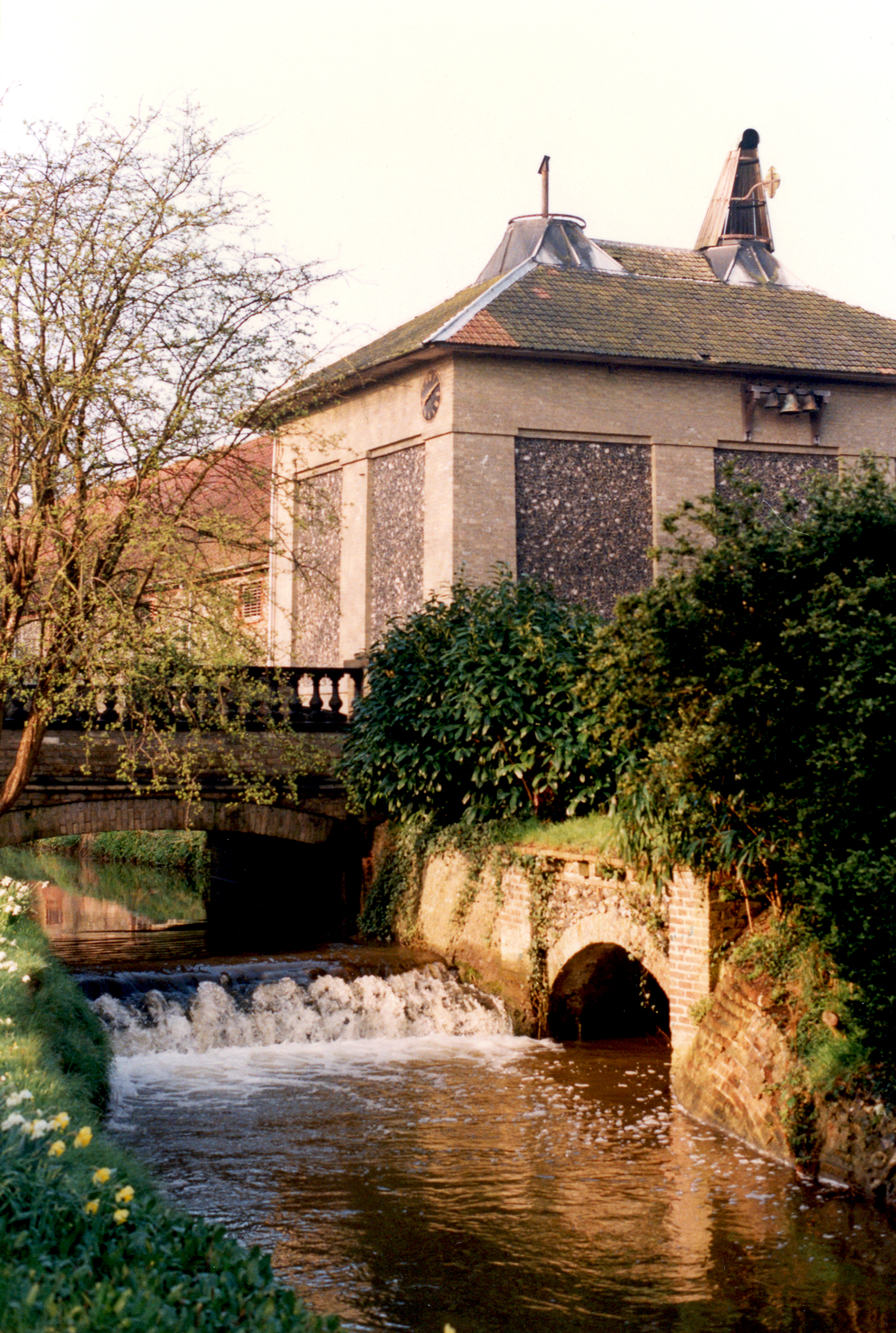
Glandford Watermill
Glandford watermill is situated on the River Glaven a little north of the village of Glandford within the English county of Norfolk. Glandford is in the...

The Shell Museum
The Shell Museum in Glandford, Norfolk is the oldest museum in the county and holds one of the country's largest collections of sea shells. It was founded...
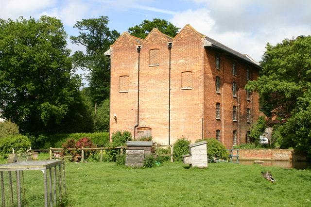
Letheringsett Brewery watermill
The remains of Letheringsett Brewery Watermill are located in the centre of the village of Letheringsett in the county of Norfolk. The watermill of 1784...

Letheringsett with Glandford
Letheringsett with Glandford is a civil parish in the English county of Norfolk. It includes the village of Letheringsett, along with the hamlet of Glandford...
Letheringsett Watermill
Letheringsett watermill is situated on the River Glaven in the village of Letheringsett within the English county of Norfolk. Letheringsett is in the district...
Glandford (Letheringsett Road)
Glandford (Letheringsett Road) is a 1.1-hectare (2.7-acre) geological Site of Special Scientific Interest west of Sheringham in Norfolk. It is a Geological...
Nearby Amenities
Located within 500m of 52.927894,1.0749956Have you been to Beach Close Plantation?
Leave your review of Beach Close Plantation below (or comments, questions and feedback).