Six Gate Clump
Wood, Forest in Kent Ashford
England
Six Gate Clump

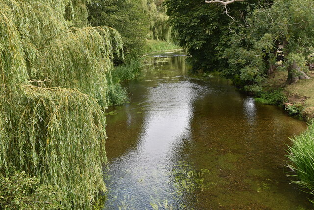
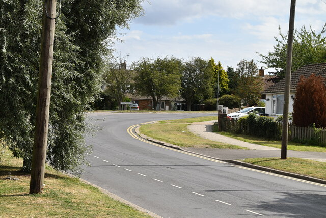
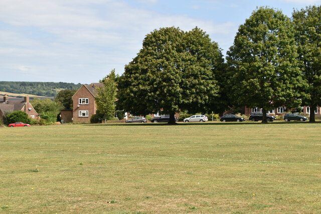
Six Gate Clump, located in Kent, England, is a picturesque woodland area renowned for its natural beauty and rich biodiversity. Situated within the larger expanse of Bedgebury Forest, the clump covers approximately 200 acres of land.
The name "Six Gate Clump" originates from the six entrances that provide access to the woodland. These gates, made of traditional wooden structures, are scattered around the perimeter and act as entry points for visitors to explore the area. The clump is known for its well-maintained footpaths, which offer a variety of walking routes for all abilities, allowing visitors to immerse themselves in the tranquil surroundings.
The woodland itself comprises a mixture of broadleaved and coniferous trees, creating a diverse and enchanting landscape. Ancient oak and beech trees dominate, their branches intertwining to create a dense canopy overhead. This provides a home to a plethora of wildlife, including various bird species, butterflies, and small mammals.
Six Gate Clump is a popular destination for nature enthusiasts, families, and walkers alike. The forest is well-equipped with facilities such as picnic areas, benches, and well-marked trails, ensuring visitors have a comfortable and enjoyable experience. Additionally, the clump offers stunning views throughout the year, from vibrant autumnal leaves to delicate spring blossoms.
Managed by the Forestry Commission, Six Gate Clump is not only a recreational space but also plays a crucial role in conservation efforts. The woodland serves as a habitat for many endangered species, and the Forestry Commission actively works to protect and preserve this delicate ecosystem.
Overall, Six Gate Clump in Kent is a haven for nature lovers, offering a peaceful retreat where visitors can connect with the natural world and indulge in the beauty of the English countryside.
If you have any feedback on the listing, please let us know in the comments section below.
Six Gate Clump Images
Images are sourced within 2km of 51.193692/0.95354499 or Grid Reference TR0647. Thanks to Geograph Open Source API. All images are credited.


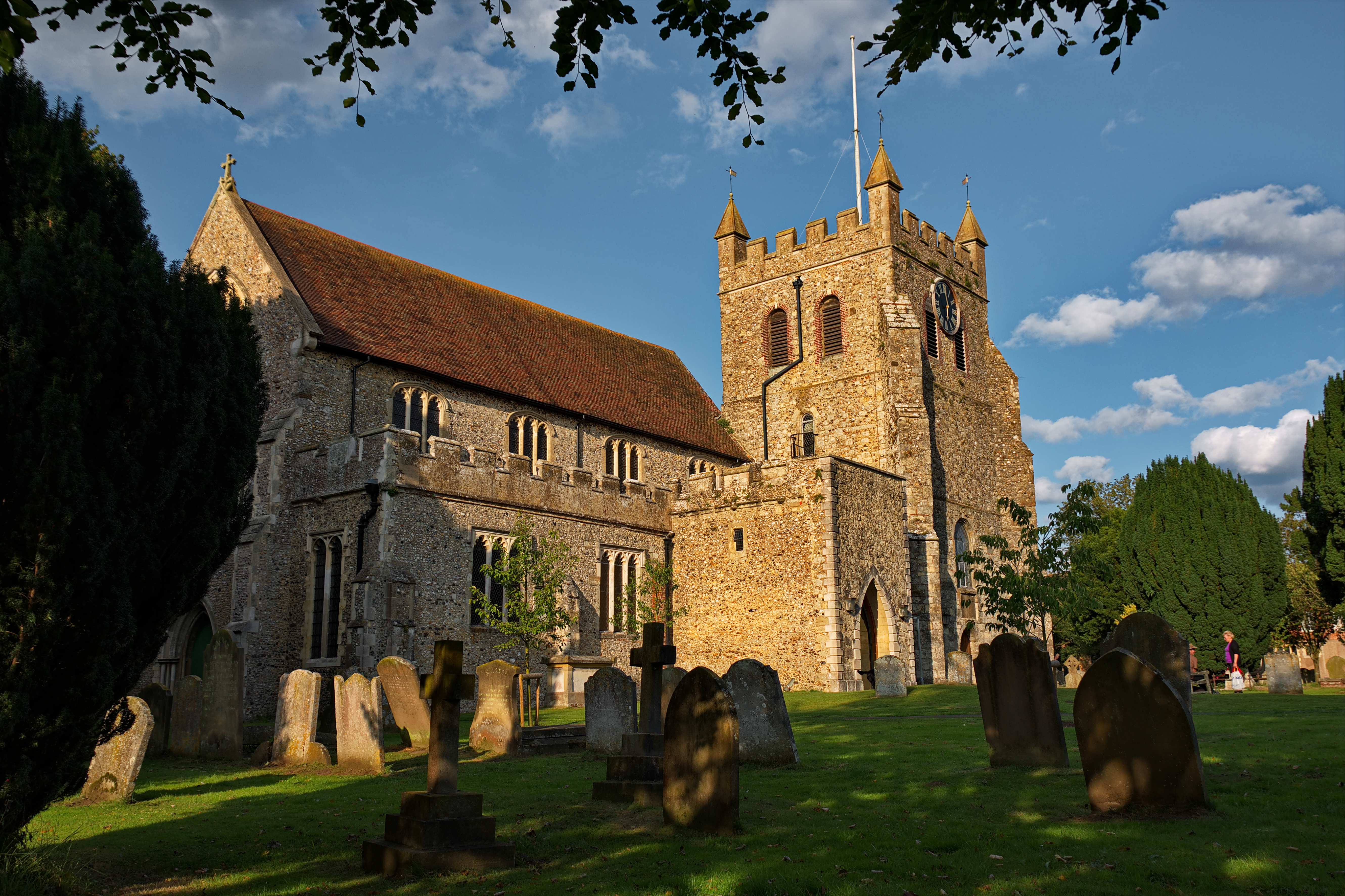
![Wye Village sign King George VI recommended that the old custom of identifying villages with carved or painted name signs could be revived. In 1920, Biddenden had won a Daily Mail competition for a sign featuring the two Biddenden Maids.
More villages followed, especially in 1953, the Coronation of Queen Elizabeth II. More signs have been put up due to the Millennium. This has meant half of the county villages are identified.]
See also <a title="https://www.geograph.org.uk/article/Kent-Village-Signs" href="https://www.geograph.org.uk/article/Kent-Village-Signs">Link</a> , an article on Kent Village Signs](https://s2.geograph.org.uk/geophotos/06/95/08/6950822_1e7841a0.jpg)
Six Gate Clump is located at Grid Ref: TR0647 (Lat: 51.193692, Lng: 0.95354499)
Administrative County: Kent
District: Ashford
Police Authority: Kent
What 3 Words
///compliant.amends.entitles. Near Wye, Kent
Nearby Locations
Related Wikis
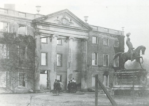
Olantigh
Olantigh is an English house 1 mile (1.6 km) north of Wye in the civil parish of Wye with Hinxhill.The garden terraces and towered stable block were Grade...

Wye School
Wye School is a British, mixed, secondary, free school in Wye, Kent. As of 2022, it is operated by United Learning. == History == Wye School opened in...
Crundale, Kent
Crundale is a mostly rural village and civil parish in the Ashford District of Kent in southeast England. The village covers a section of one of the dual...
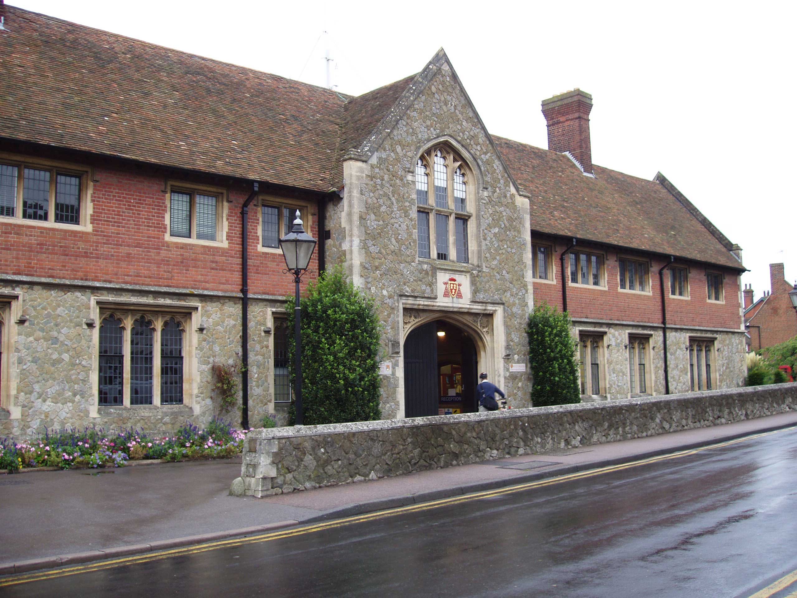
Wye College
The College of St Gregory and St Martin at Wye, commonly known as Wye College, was an education and research institution in the village of Wye, Kent. In...

Wye with Hinxhill
Wye with Hinxhill is a hillside civil parish in the borough of Ashford northeast of Ashford, Kent itself, centred 3.7 miles (6.0 km) NNE of the town centre...
Wye, Kent
Wye is a village and former civil parish, now in the parish of Wye with Hinxhill, in the Ashford district, in Kent, England, 5 miles (8.0 km) from Ashford...
Bilting
Bilting is a hamlet within the civil parish of Godmersham in the Ashford District of Kent, England. It stretches along the A28 at the foot of the Godmersham...

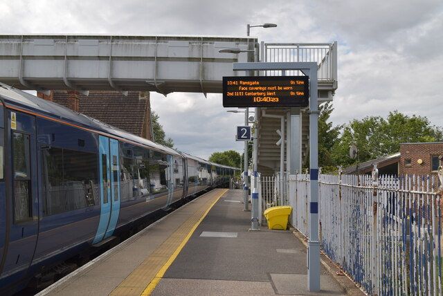
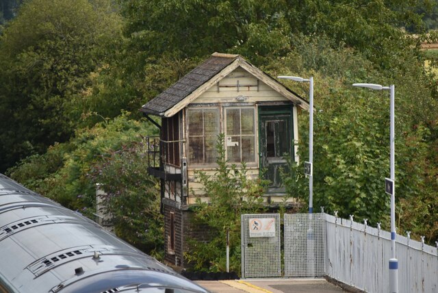
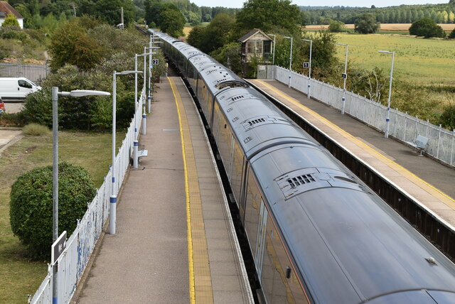
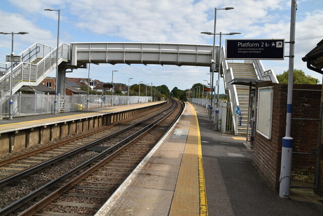
Wye railway station
Wye railway station serves Wye in Kent, England, on the Ashford to Ramsgate line. The station and all trains that serve the station are operated by Southeastern...
Nearby Amenities
Located within 500m of 51.193692,0.95354499Have you been to Six Gate Clump?
Leave your review of Six Gate Clump below (or comments, questions and feedback).