Barber's Wood
Wood, Forest in Norfolk North Norfolk
England
Barber's Wood
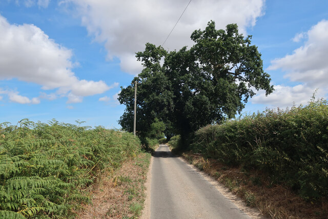
Barber's Wood is a picturesque woodland located in Norfolk, England. Situated near the small village of Barbers, this natural gem covers an area of approximately 100 acres. The wood is part of the larger Norfolk Broads National Park, known for its diverse wildlife and stunning landscapes.
Barber's Wood is predominantly made up of native broadleaf trees, such as oak, beech, and birch, creating a rich and vibrant canopy. The woodland floor is adorned with a variety of wildflowers, including bluebells, primroses, and wood anemones, creating a stunning display during the spring months.
The wood provides a haven for many species of birds, including woodpeckers, nuthatches, and tawny owls. It is also home to several mammals, including deer, foxes, and badgers. The tranquil atmosphere and abundance of wildlife make Barber's Wood a popular destination for nature lovers and photographers.
There are several well-maintained walking trails that wind through the wood, allowing visitors to explore its beauty at their own pace. These trails lead to a small lake located within the woodland, providing an excellent spot for birdwatching and relaxation.
Barber's Wood is managed by the Norfolk Wildlife Trust, ensuring its preservation and protection for future generations to enjoy. The wood offers a peaceful retreat from the hustle and bustle of everyday life, allowing visitors to immerse themselves in the natural beauty of Norfolk's countryside.
If you have any feedback on the listing, please let us know in the comments section below.
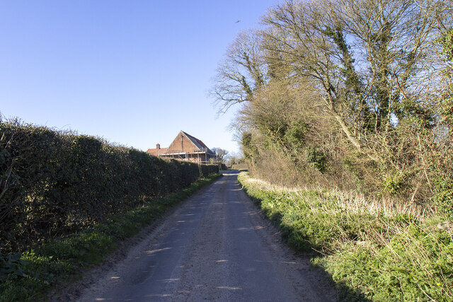
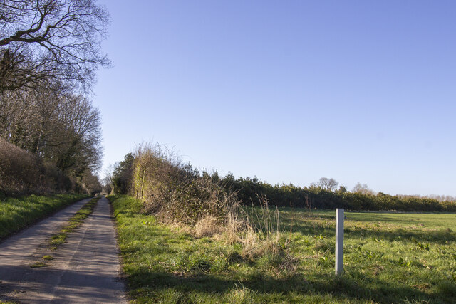
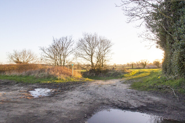
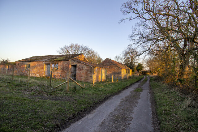
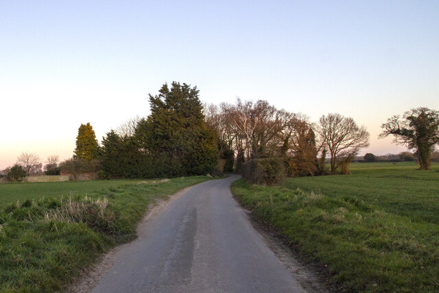
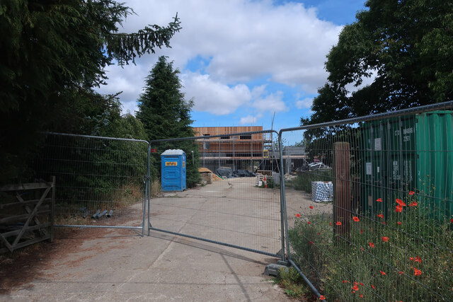
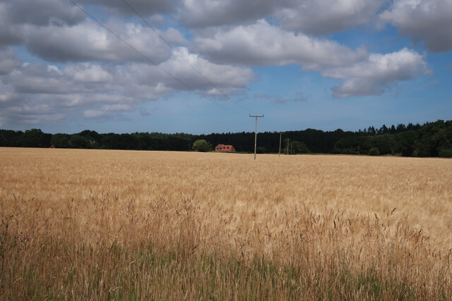
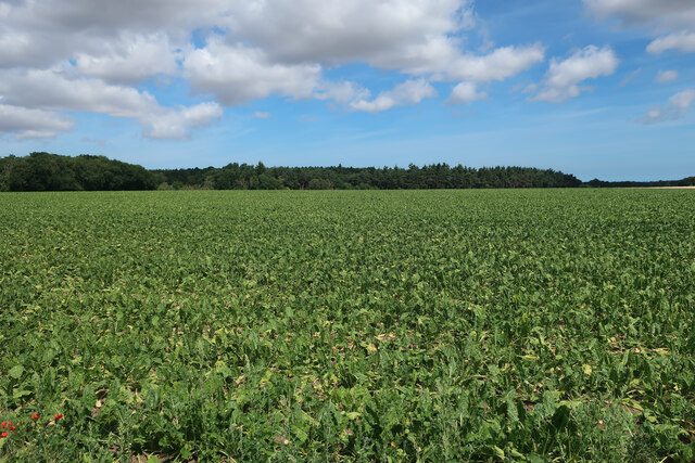
Barber's Wood Images
Images are sourced within 2km of 52.824691/1.0527338 or Grid Reference TG0529. Thanks to Geograph Open Source API. All images are credited.


Barber's Wood is located at Grid Ref: TG0529 (Lat: 52.824691, Lng: 1.0527338)
Administrative County: Norfolk
District: North Norfolk
Police Authority: Norfolk
What 3 Words
///certainty.flippers.gliding. Near Briston, Norfolk
Nearby Locations
Related Wikis

Nethergate, Norfolk
Nethergate is a hamlet within the civil parish of Hindolveston in the English county of Norfolk. The hamlet is 15.9 miles (25.6 km) west-south-west of...
Hindolvestone railway station
Hindolvestone railway station was in North Norfolk, England. It was part of the Midland and Great Northern Joint Railway branch from Melton Constable to...

Thurning, Norfolk
Thurning is a small dispersed village and civil parish in the English county of Norfolk and district of North Norfolk, near the border with Broadland....

Hindolveston
Hindolveston is a village and civil parish in the English county of Norfolk. The village is 17.5 miles (28.2 km) west-south-west of Cromer, 20.8 miles...
Nearby Amenities
Located within 500m of 52.824691,1.0527338Have you been to Barber's Wood?
Leave your review of Barber's Wood below (or comments, questions and feedback).