Sallow Grove

Wood, Forest in Suffolk Mid Suffolk

England

Sallow Grove

Wheat field near Badley Stowmarket Road marked by the trees on the right.
Wheat field near Badley Credit: Jonathan Thacker

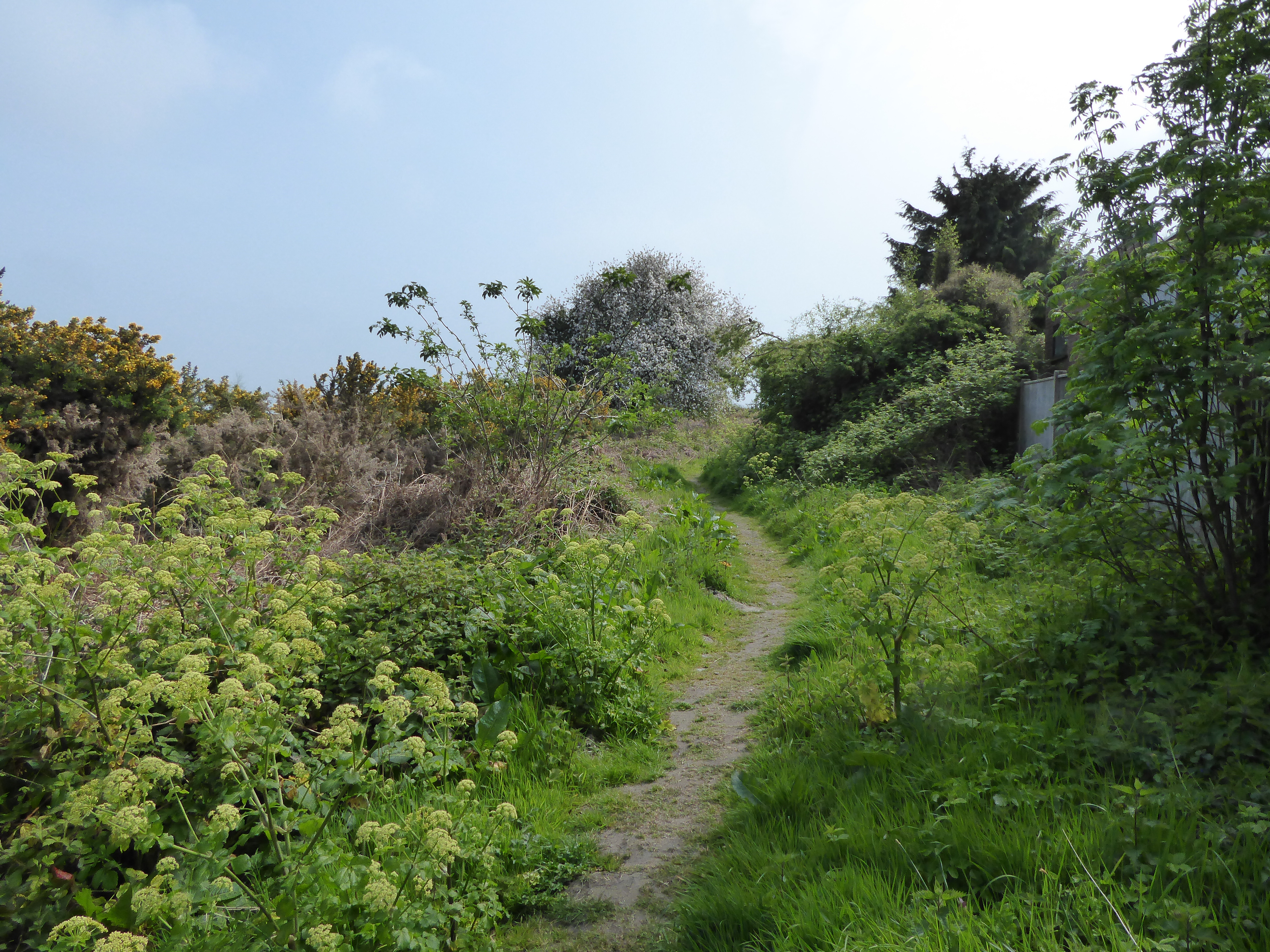
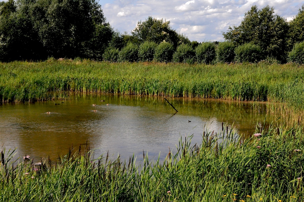
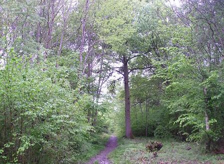
Sallow Grove is a charming woodland located in the county of Suffolk, England. Situated in the eastern region of the country, this tranquil forested area covers a vast expanse of approximately 500 acres. Sallow Grove is renowned for its dense cover of ancient oak and beech trees, creating a lush and verdant environment.

The woodland is a haven for nature enthusiasts and outdoor enthusiasts alike. Its diverse ecosystem supports a wide range of flora and fauna, with an abundance of wildlife including deer, foxes, badgers, and a variety of bird species. The forest floor is carpeted with a rich tapestry of wildflowers, adding a burst of vibrant color to the landscape during the spring and summer months.

Sallow Grove offers a multitude of recreational activities for visitors to enjoy. There are numerous walking and hiking trails that wind through the forest, providing opportunities for exploration and discovery. Picnic areas and designated camping spots are available, allowing visitors to immerse themselves in the peaceful ambiance of the woodland.

Additionally, Sallow Grove is home to several historical sites of interest. The remains of an ancient Roman villa can be found on the outskirts of the woodland, providing a glimpse into the region's rich history. Archaeological excavations have unearthed artifacts that shed light on the lives of the Romans who once inhabited the area.

Overall, Sallow Grove is a captivating destination that offers a harmonious blend of natural beauty and historical significance. Whether one seeks solitude in nature or a journey through time, this enchanting woodland in Suffolk has something to offer for everyone.

If you have any feedback on the listing, please let us know in the comments section below.
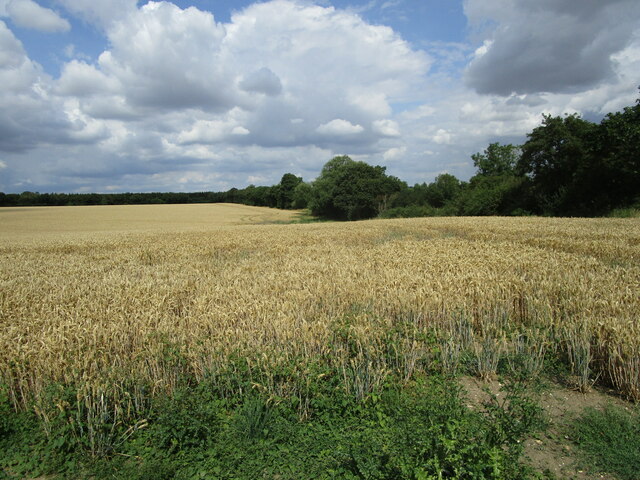
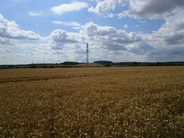
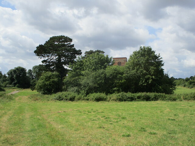
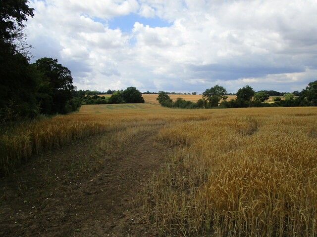
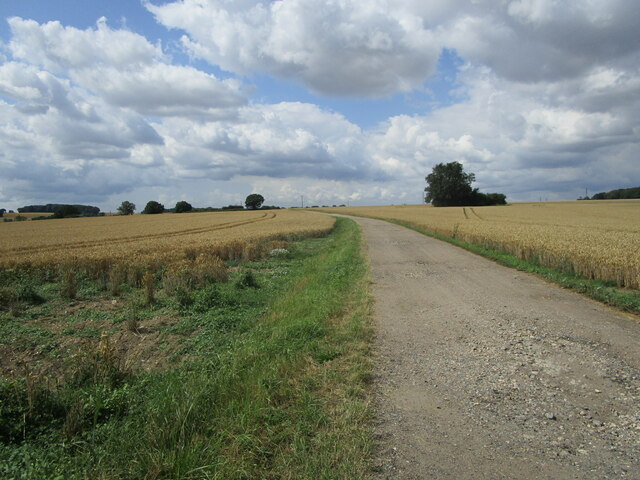
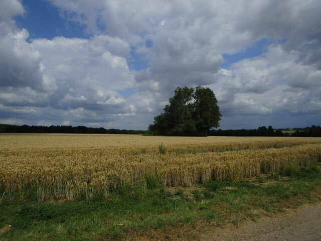
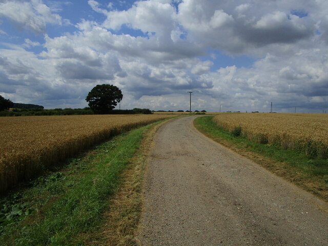
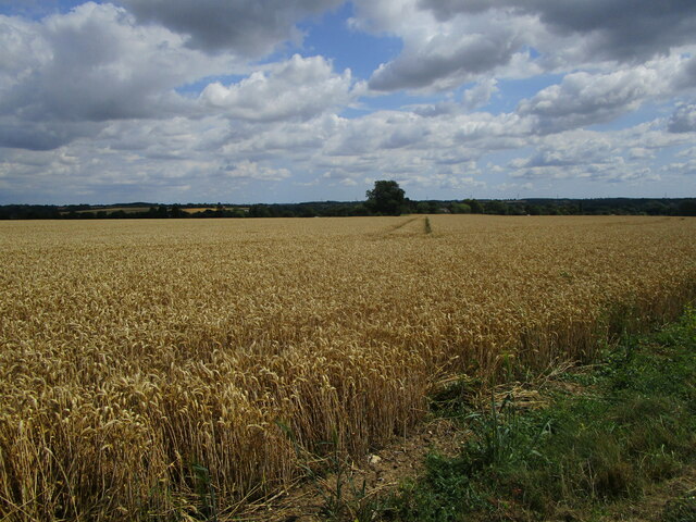
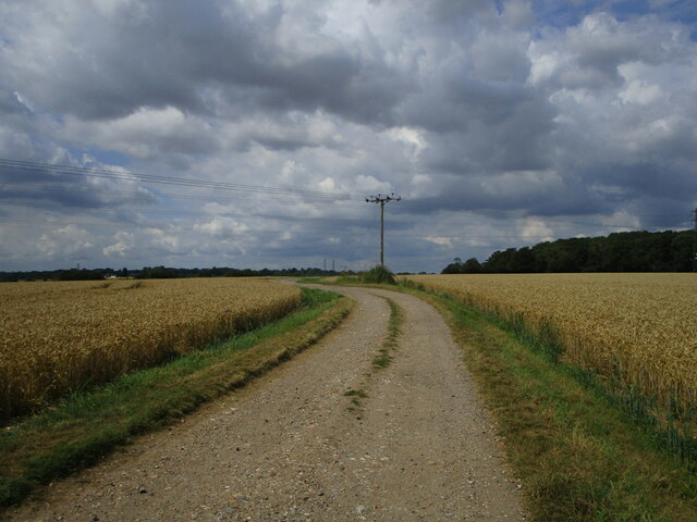
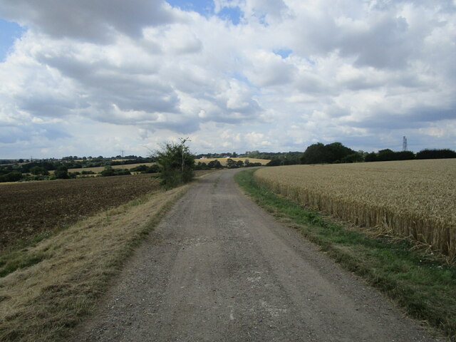
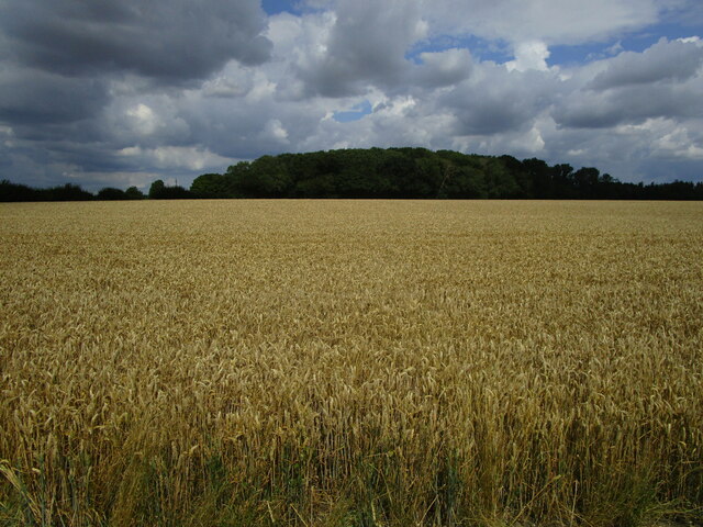
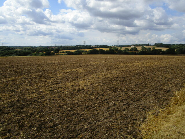
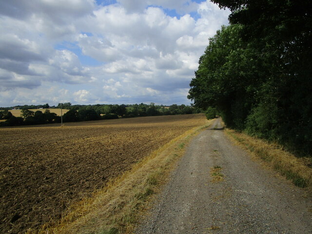
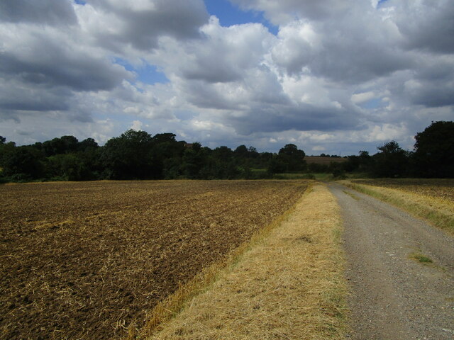
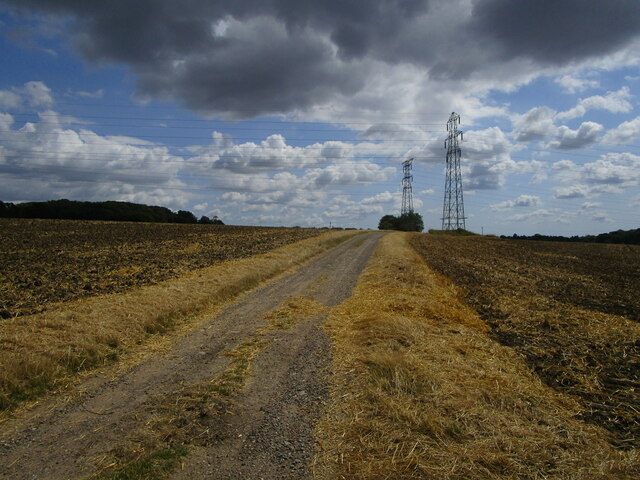
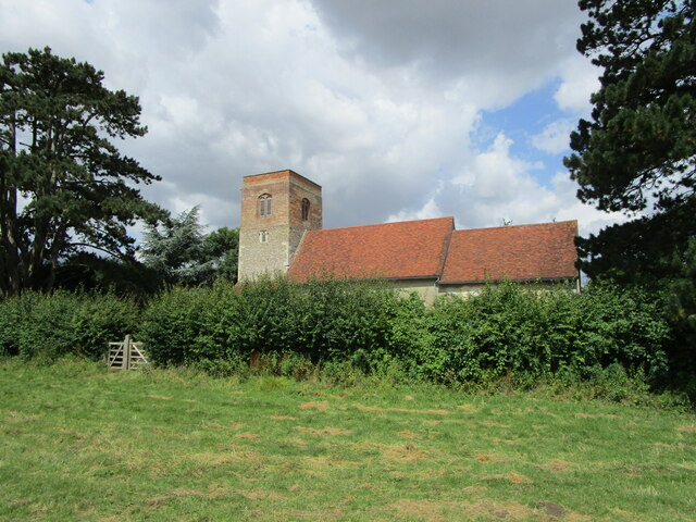
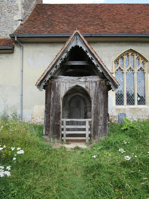
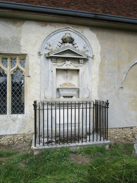
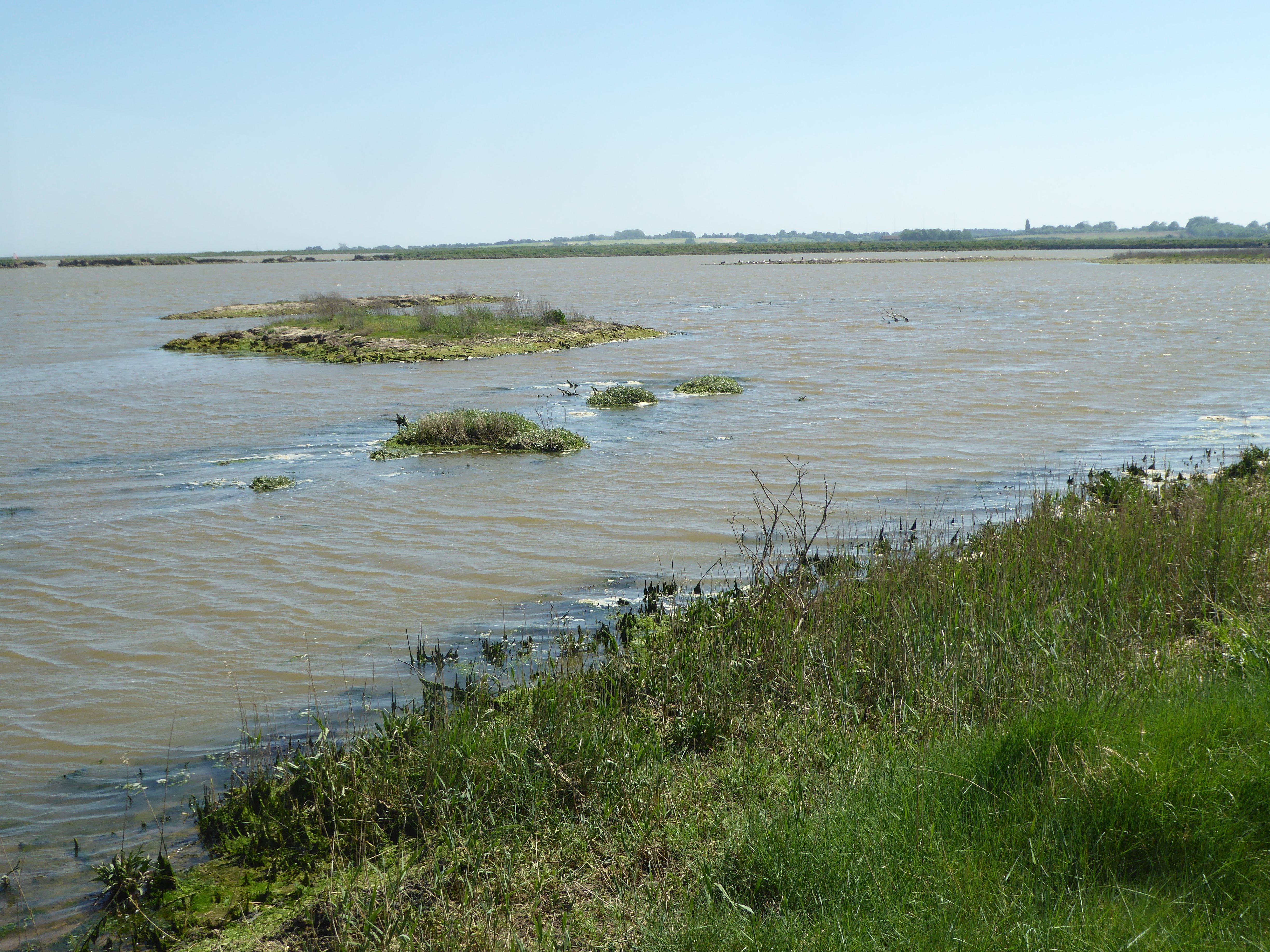
Sallow Grove Images

Images are sourced within 2km of 52.167517/1.0073598 or Grid Reference TM0556. Thanks to Geograph Open Source API. All images are credited.

Wheat field near Badley Stowmarket Road marked by the trees on the right.
Wheat field near Badley
Stowmarket Road marked by the trees on the right.
Wheat fields and pylon near Badley
A glimpse of Badley church above the trees
Barley field near Badley
Bridleway to Badley church
Lone tree in a wheat field The tree marks a small pond.
Lone tree in a wheat field
The tree marks a small pond.
Bridleway to Badley church
Wheat field near Badley
Bridleway to Badley Church
Bridleway to Badley church
Wheat field and Keyfield Groves
Harrowed field near Badley
Bridleway to Badley church
Bridleway to Badley church Badley church tower can just be seen among the trees near the centre of the picture.
Bridleway to Badley church
Badley church tower can just be seen among the trees near the centre of the picture.
Bridleway and pylons near Badley
Badley church Isolated with just a few houses nearby and no proper road.
Badley church
Isolated with just a few houses nearby and no proper road.
St. Mary's church, Badley, south porch The porch has a sheep gate - unusual for a church.
St. Mary's church, Badley, south porch
The porch has a sheep gate - unusual for a church.
St. Mary's church, Badley, monument The monument is to Henrietta Robins who died in 1728.
A large stone shield which was part of the monument has been stolen <span class="nowrap"><a title="https://churchmonumentssociety.org/2019/09/13/heritage-crime-2" rel="nofollow ugc noopener" href="https://churchmonumentssociety.org/2019/09/13/heritage-crime-2">Link</a><img style="margin-left:2px;" alt="External link" title="External link - shift click to open in new window" src="https://s1.geograph.org.uk/img/external.png" width="10" height="10"/></span>
St. Mary's church, Badley, monument
The monument is to Henrietta Robins who died in 1728. A large stone shield which was part of the monument has been stolen LinkExternal link
Show me another place!

Sallow Grove is located at Grid Ref: TM0556 (Lat: 52.167517, Lng: 1.0073598)

Administrative County: Suffolk

District: Mid Suffolk

Police Authority: Suffolk

What 3 Words

///relatives.yell.sketches. Near Stowmarket, Suffolk

Related Wikis

Suffolk Wildlife Trust

Suffolk Wildlife Trust (SWT) describes itself as the county's "nature charity – the only organisation dedicated wholly to safeguarding Suffolk's wildlife...

List of local nature reserves in Suffolk

Suffolk is a county in East Anglia. It is bounded by Norfolk to the north, Cambridgeshire to the west and Essex to the south. With an area of 1,466 square...

List of Sites of Special Scientific Interest in Suffolk

Suffolk is a county in East Anglia. It is bounded by Norfolk to the north, Cambridgeshire to the west, Essex to the south and the North Sea to the east...

Combs Wood

Combs Wood is a 15.1 hectares (37 acres) biological Site of Special Scientific Interest on the southern outskirts of Stowmarket in Suffolk. It is owned...

Nearby Amenities

Located within 500m of 52.167517,1.0073598
Power: tower
Lat/Long: 52.1651673/1.0021026
Power: tower
Lat/Long: 52.1687761/1.0129204
Power: tower
Lat/Long: 52.168095/1.0108283
Power: tower
Lat/Long: 52.1665453/1.0062252
Power: tower
Lat/Long: 52.1658017/1.0039882
Power: tower
Lat/Long: 52.1685855/1.0091327
Power: tower
Lat/Long: 52.1697635/1.0130753
Power: tower
Lat/Long: 52.1697897/1.0016869
Power: pole
Lat/Long: 52.1683305/1.0145349
Power: pole
Lat/Long: 52.1640758/1.007985
Power: pole
Lat/Long: 52.1659412/1.0107402
Power: pole
Lat/Long: 52.1653334/1.0097709
Power: pole
Lat/Long: 52.166562/1.0117185
Power: pole
Lat/Long: 52.1634534/1.0071882
Power: pole
Lat/Long: 52.1647753/1.0088807
Power: pole
Lat/Long: 52.1677495/1.0136097
Power: pole
Lat/Long: 52.1671154/1.0125998
Power: tower
Lat/Long: 52.1691369/1.0058176
The data included in this document is from www.openstreetmap.org. The data is made available under ODbL.

Have you been to Sallow Grove?

Leave your review of Sallow Grove below (or comments, questions and feedback).