King's Wood
Wood, Forest in Suffolk Babergh
England
King's Wood

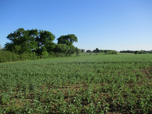
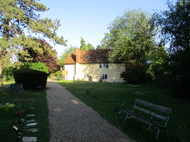
Located in the county of Suffolk, England, King's Wood is a beautiful and expansive forest that spans over 1,000 acres. It is situated near the village of West Stow and is known for its rich history, diverse wildlife, and scenic landscapes. King's Wood is owned and managed by the Forestry Commission, ensuring its preservation and accessibility for visitors to enjoy.
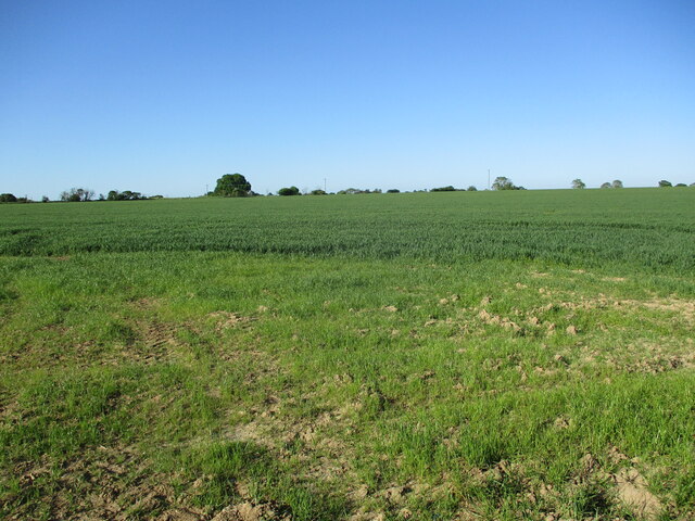
The woodland is predominantly made up of oak trees, but it also features a variety of other tree species such as birch, beech, and pine. The trees create a dense canopy that filters sunlight and provides a peaceful and tranquil atmosphere. The forest floor is covered with a vibrant carpet of wildflowers, ferns, and mosses, adding to its natural beauty.
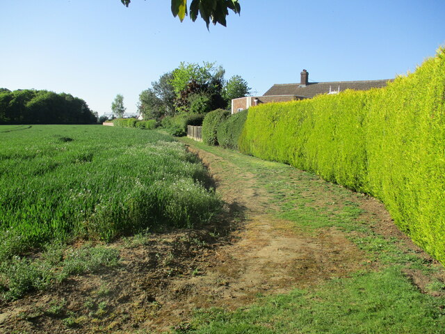
King's Wood offers an extensive network of footpaths and trails that allow visitors to explore the forest at their leisure. These paths lead to various landmarks and points of interest, including an Iron Age fort, ancient burial mounds, and the ruins of a medieval priory. The forest is also home to several ponds and streams, attracting a wide array of wildlife, including deer, rabbits, squirrels, and a plethora of bird species.
The woodland is a popular destination for nature enthusiasts, walkers, and cyclists, who can enjoy the peacefulness and serenity of the forest. It also serves as an important habitat for rare and protected species, making it an area of ecological significance. King's Wood is a haven for biodiversity and provides an idyllic escape into the heart of nature.
If you have any feedback on the listing, please let us know in the comments section below.
King's Wood Images
Images are sourced within 2km of 51.982599/0.98689549 or Grid Reference TM0535. Thanks to Geograph Open Source API. All images are credited.


King's Wood is located at Grid Ref: TM0535 (Lat: 51.982599, Lng: 0.98689549)
Administrative County: Suffolk
District: Babergh
Police Authority: Suffolk
What 3 Words
///bungalows.spared.neatly. Near East Bergholt, Suffolk
Nearby Locations
Related Wikis
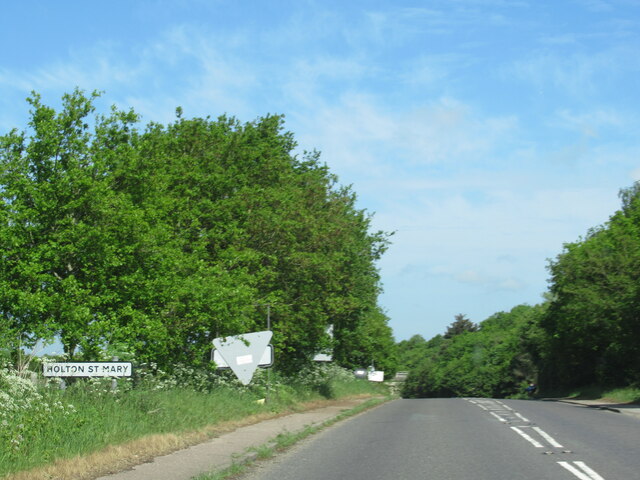
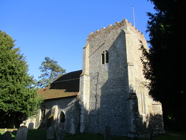
Holton St Mary
Holton St Mary is a village and civil parish in Suffolk, England. Located on the B1070 around five miles south-west of Ipswich and half a mile from the...
Higham, Babergh
Higham is a village and civil parish in Suffolk, England. Located on the eastern bank of the River Brett (which defines the parish's western boundary)...
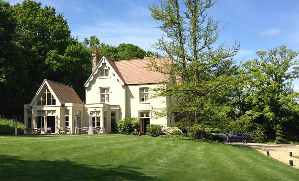
Maison Talbooth, Dedham
Maison Talbooth, Dedham in Essex is a building of historical significance. The construction was started in 1846 and completed by 1850. The architect was...

River Brett
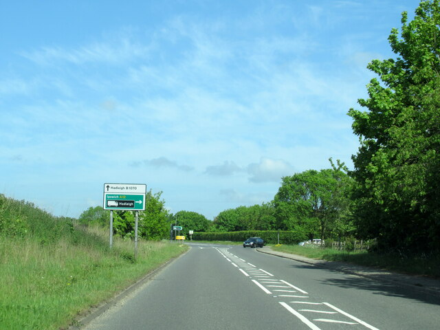
The River Brett is a river in Suffolk, England. Its source is in the villages to the north of Lavenham and it flows through Hadleigh to its confluence...

East Bergholt
East Bergholt is a village in the Babergh District of Suffolk, England, just north of the Essex border. The nearest town and railway station is Manningtree...
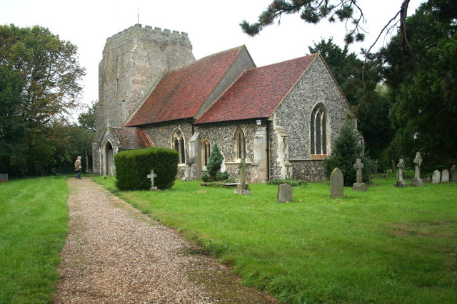
Stratford St. Mary
Stratford St. Mary is a village in Suffolk, England in the heart of 'Constable Country'. John Constable painted a number of paintings in and around Stratford...

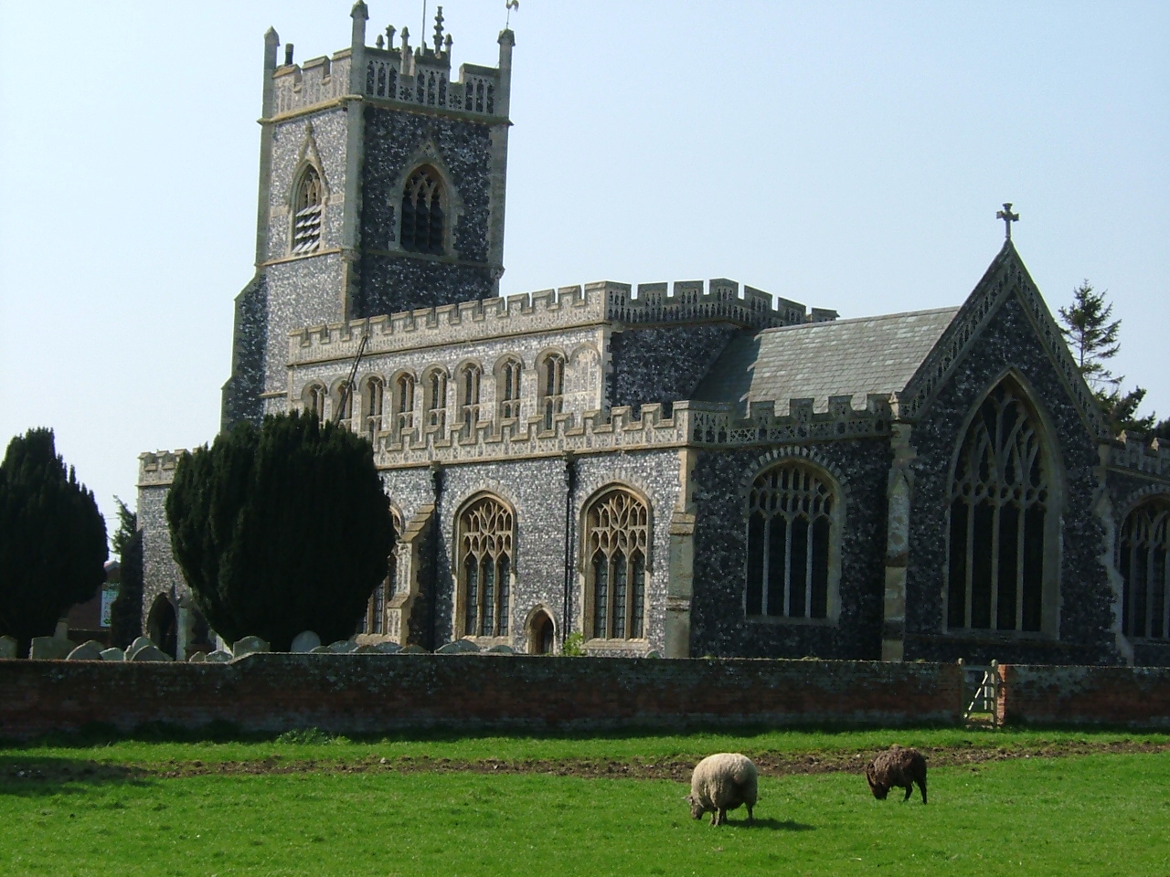
East Bergholt Abbey
East Bergholt Abbey was an abbey in Suffolk, England. It was built on land purchased in 1857 on the site of Old Hall manor. == History == === Old Hall... ===

River Box
The River Box is a small river, 14 miles (23 km) in length, that flows through Suffolk, England. It is a tributary of the River Stour. == Toponymy == The...
Related Videos

Dedham Vale - Amazing Flatland Walk in Essex
We walked across Dedham Vale in Essex, to where the famous landscape gardener, John Constable created some of his most ...

Constable Country - Dedham and Flatford Mill, Britain, in 4K by Rodger Tamblyn. People boating
The video is deliberately long, (no quick cut scenes) for a slow relaxed watching experience and to get a feel for the area without ...
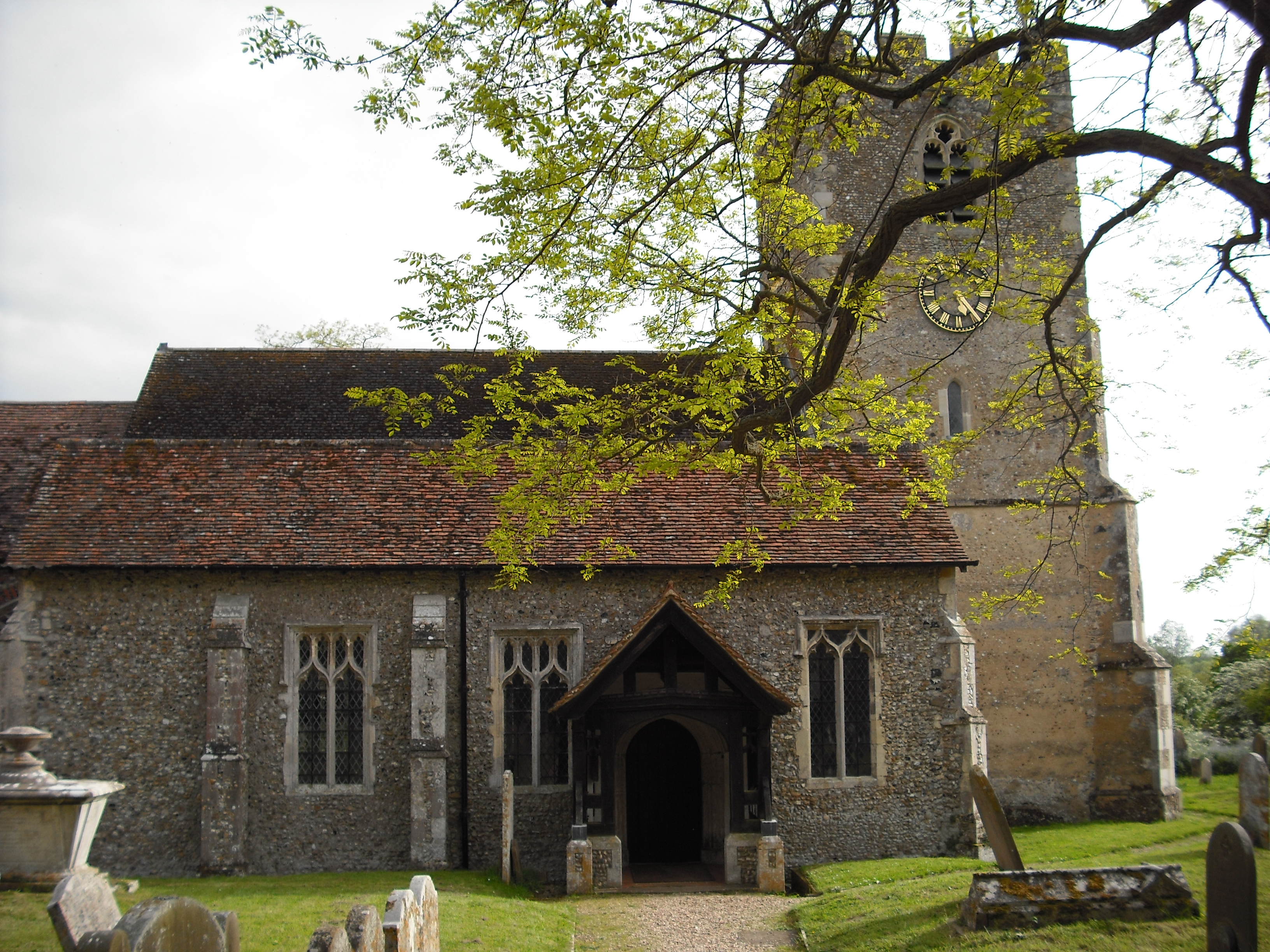
The Parish Church of Stratford St Mary
Stratford St. Mary is a village in Suffolk, England in the heart of 'Constable Country'. John Constable painted a number of ...

Discovering Dadham Vale's Breathtaking Landscapes and Tranquil Charm!
Title: Adventure to A Magical Village of Dedham Vale Essex, England by Roomozy Dedham is a village within the borough of ...
Nearby Amenities
Located within 500m of 51.982599,0.98689549Have you been to King's Wood?
Leave your review of King's Wood below (or comments, questions and feedback).