Langham Close Wood

Wood, Forest in Suffolk Babergh

England

Langham Close Wood

Nedging-with-Naughton: Post box
Nedging-with-Naughton: Post box Credit: Michael Garlick

Langham Close Wood is a picturesque woodland situated in Suffolk, England. Covering an area of approximately 20 acres, it is located near the village of Langham and is owned and managed by the Suffolk Wildlife Trust. The wood is known for its diverse range of flora and fauna, making it a haven for nature enthusiasts.

The woodland is predominantly composed of native broadleaf trees, including oak, ash, beech, and birch. These trees provide a rich canopy, creating a shaded and tranquil environment. Underneath the trees, the forest floor is adorned with a variety of wildflowers, ferns, and mosses, adding to the woodland's natural beauty.

Langham Close Wood also boasts a diverse range of wildlife. Birdwatchers can spot species such as woodpeckers, nuthatches, and tawny owls, while mammal lovers may encounter squirrels, bats, and even deer. The wood's diverse habitats, including ponds and wetland areas, attract a wide variety of insects, amphibians, and reptiles.

The wood offers a network of footpaths and trails, allowing visitors to explore its beauty at their own pace. These paths meander through the trees, offering glimpses of the wood's hidden treasures. Additionally, the wood is a popular spot for nature photography, with its ever-changing colors and textures providing ample opportunities for capturing stunning images.

Langham Close Wood is a valuable natural asset, providing a habitat for wildlife, a place for relaxation and recreation, and an opportunity for visitors to connect with nature in the heart of Suffolk's countryside.

If you have any feedback on the listing, please let us know in the comments section below.

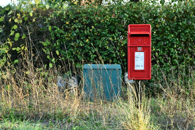
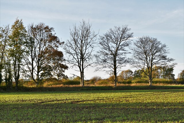
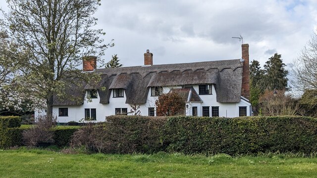
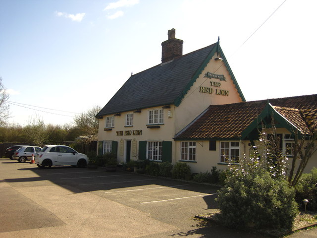
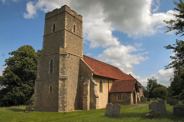
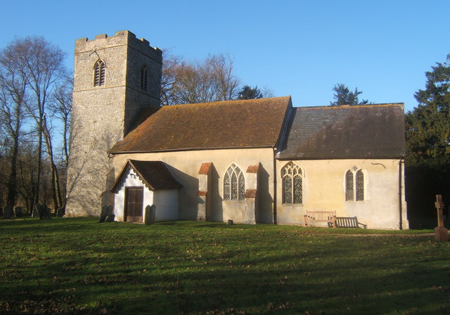
Langham Close Wood Images

Images are sourced within 2km of 52.096065/0.98536192 or Grid Reference TM0448. Thanks to Geograph Open Source API. All images are credited.

Nedging-with-Naughton: Post box
Nedging-with-Naughton, Wallow Lane: Thatched cottage
Great Bricett: Field surrounded by roads on all sides
Great Bricett: Road sign on the B1078
Nedging-with-Naughton: Ipswich Road from Wallow Lane
Great Bricett: Ipswich Road
Moated Site at The Old Rectory, Elmsett <span class="nowrap"><a title="https://historicengland.org.uk/listing/the-list/list-entry/1019537?section=official-list-entry" rel="nofollow ugc noopener" href="https://historicengland.org.uk/listing/the-list/list-entry/1019537?section=official-list-entry">Link</a><img style="margin-left:2px;" alt="External link" title="External link - shift click to open in new window" src="https://s1.geograph.org.uk/img/external.png" width="10" height="10"/></span>
Moated Site at The Old Rectory, Elmsett
Mannings Cottage <span class="nowrap"><a title="https://historicengland.org.uk/listing/the-list/list-entry/1351609?section=official-list-entry" rel="nofollow ugc noopener" href="https://historicengland.org.uk/listing/the-list/list-entry/1351609?section=official-list-entry">Link</a><img style="margin-left:2px;" alt="External link" title="External link - shift click to open in new window" src="https://s1.geograph.org.uk/img/external.png" width="10" height="10"/></span>
Mannings Cottage
Church of St Peter, Elmsett <span class="nowrap"><a title="https://historicengland.org.uk/listing/the-list/list-entry/1194594?section=official-list-entry" rel="nofollow ugc noopener" href="https://historicengland.org.uk/listing/the-list/list-entry/1194594?section=official-list-entry">Link</a><img style="margin-left:2px;" alt="External link" title="External link - shift click to open in new window" src="https://s1.geograph.org.uk/img/external.png" width="10" height="10"/></span>
Church of St Peter, Elmsett
Blocked Norman Window at Church of St Peter, Elmsett <span class="nowrap"><a title="https://historicengland.org.uk/listing/the-list/list-entry/1194594?section=official-list-entry" rel="nofollow ugc noopener" href="https://historicengland.org.uk/listing/the-list/list-entry/1194594?section=official-list-entry">Link</a><img style="margin-left:2px;" alt="External link" title="External link - shift click to open in new window" src="https://s1.geograph.org.uk/img/external.png" width="10" height="10"/></span>
Blocked Norman Window at Church of St Peter, Elmsett
Church of St Peter, Elmsett Door and Porch Interior <span class="nowrap"><a title="https://historicengland.org.uk/listing/the-list/list-entry/1194594?section=official-list-entry" rel="nofollow ugc noopener" href="https://historicengland.org.uk/listing/the-list/list-entry/1194594?section=official-list-entry">Link</a><img style="margin-left:2px;" alt="External link" title="External link - shift click to open in new window" src="https://s1.geograph.org.uk/img/external.png" width="10" height="10"/></span>
Church of St Peter, Elmsett Door and Porch Interior
Slow Warning sign on Rookery Road near to Elmsett, Suffolk.
Slow
Warning sign on Rookery Road near to Elmsett, Suffolk.
The Red Lion Pub "The Red Lion in Great Bricett is East Anglia's first and only exclusively vegetarian pub". <span class="nowrap"><a title="http://www.theveggieredlion.co.uk/" rel="nofollow ugc noopener" href="http://www.theveggieredlion.co.uk/">Link</a><img style="margin-left:2px;" alt="External link" title="External link - shift click to open in new window" src="https://s1.geograph.org.uk/img/external.png" width="10" height="10"/></span>
The Red Lion Pub
"The Red Lion in Great Bricett is East Anglia's first and only exclusively vegetarian pub". LinkExternal link
B1078 approaches junction with Bildeston Road
B1078 south of Moat House Farm
The Old Ale House, Naughton
New Road, Naughton
New Road, Naughton
Over the field to Pigeon Hall Farm
Show me another place!

Langham Close Wood is located at Grid Ref: TM0448 (Lat: 52.096065, Lng: 0.98536192)

Administrative County: Suffolk

District: Babergh

Police Authority: Suffolk

What 3 Words

///tomorrow.blunt.crumb. Near Wattisham, Suffolk

Related Wikis

Middle Wood, Offton

Middle Wood, Offton is a 23.3-hectare (58-acre) biological Site of Special Scientific Interest north-west of Offton in Suffolk. This is a medieval coppice...

Elmsett

Elmsett is a village and civil parish in Suffolk, England. Located around three miles north-east of Hadleigh, it is in Babergh district. In 2005, it had...

Offton

Offton is a village in Suffolk, England. == References == == External links == Media related to Offton at Wikimedia Commons Parish Magazine on line

Naughton, Suffolk

Naughton is a village and former civil parish, now in the civil parish of Nedging-with-Naughton, in the Babergh district, in the county of Suffolk, England...

Have you been to Langham Close Wood?

Leave your review of Langham Close Wood below (or comments, questions and feedback).