Alder Carr
Wood, Forest in Norfolk North Norfolk
England
Alder Carr
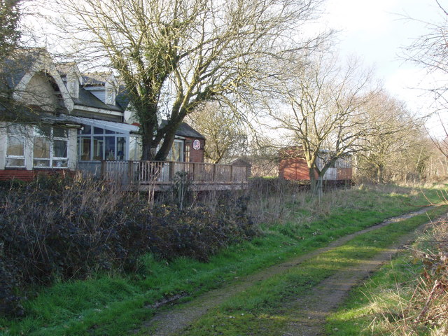
Alder Carr, located in Norfolk, England, is a woodland area known for its vibrant alder trees and diverse wildlife. Spanning over a vast area, the Carr offers a peaceful retreat for nature enthusiasts and hikers alike.
The woodland is characterized by the dominance of alder trees, which thrive in the damp conditions provided by the nearby water bodies. These trees contribute to the unique ecosystem of the Carr, attracting a variety of bird species such as kingfishers, herons, and warblers. The presence of these birds makes Alder Carr a popular destination for birdwatchers, who can observe their graceful flights and melodious songs.
In addition to the avian population, the woodland is home to a rich diversity of other wildlife. Visitors may encounter small mammals like voles, shrews, and squirrels scurrying among the undergrowth. Reptiles and amphibians, including common frogs and slow worms, can also be found in the area, adding to the ecological importance of Alder Carr.
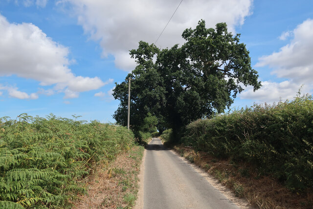
The woodland is crisscrossed with a network of walking trails, allowing visitors to explore the area at their own pace. These trails provide breathtaking views of the surrounding landscape, with picturesque vistas of the nearby Broads National Park. The peaceful ambience and natural beauty of Alder Carr make it an ideal destination for outdoor activities such as picnicking, wildlife photography, and nature study.
Alder Carr offers a unique opportunity to connect with nature and experience the tranquility of a diverse woodland ecosystem. Its accessibility, combined with its natural beauty, makes it a must-visit destination for both locals and tourists seeking respite from the bustling city life.
If you have any feedback on the listing, please let us know in the comments section below.
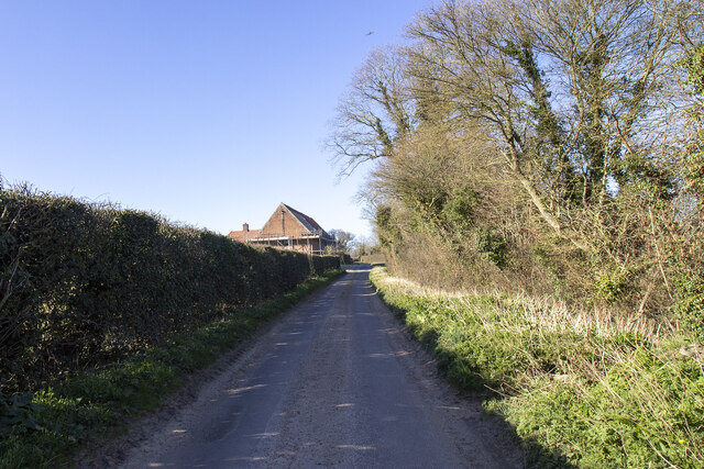
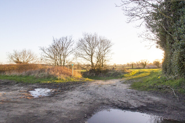
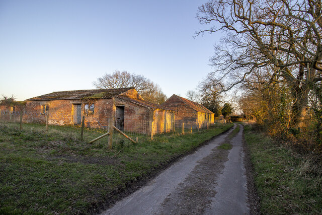
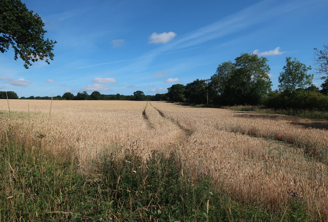
Alder Carr Images
Images are sourced within 2km of 52.827219/1.0302696 or Grid Reference TG0429. Thanks to Geograph Open Source API. All images are credited.


Alder Carr is located at Grid Ref: TG0429 (Lat: 52.827219, Lng: 1.0302696)
Administrative County: Norfolk
District: North Norfolk
Police Authority: Norfolk
What 3 Words
///gagging.angel.sniff. Near Briston, Norfolk
Nearby Locations
Related Wikis


Nearby Amenities
Located within 500m of 52.827219,1.0302696Have you been to Alder Carr?
Leave your review of Alder Carr below (or comments, questions and feedback).