Arnold's Belt

Wood, Forest in Norfolk Breckland

England

Arnold's Belt

Post Box at Banham NR16 1638. Royal Mail list this box as 'Grove Corner'.
Post Box at Banham Credit: David Bremner

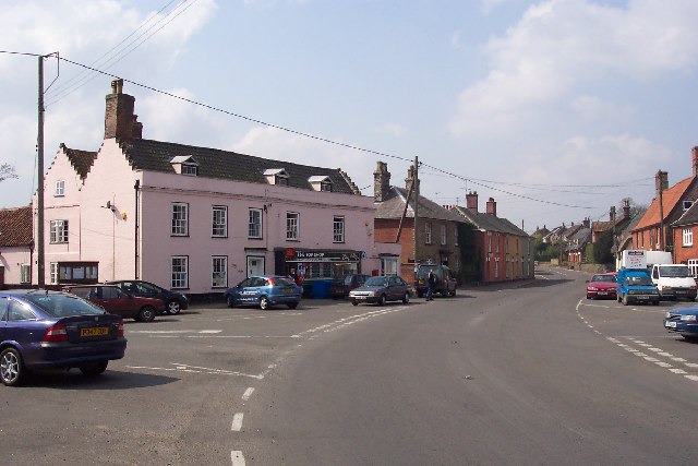
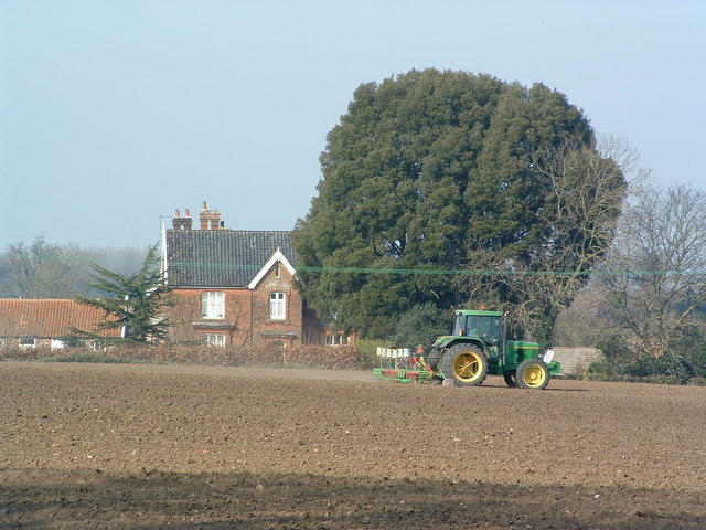
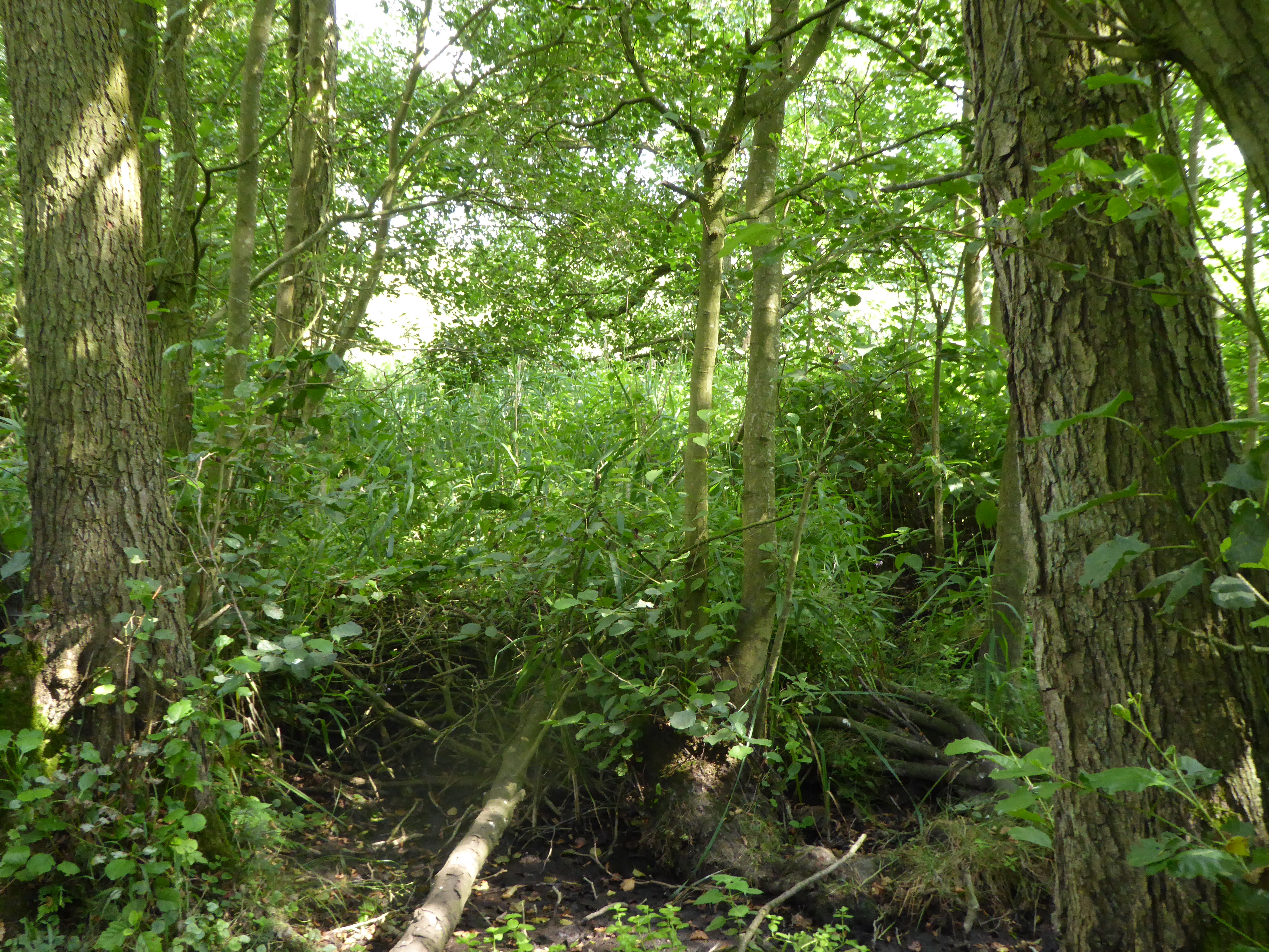
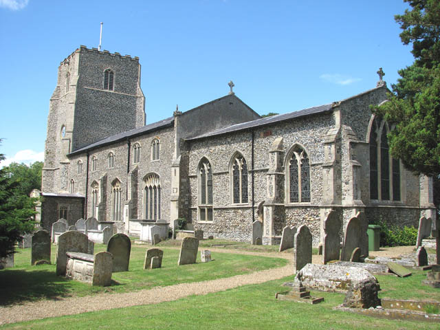
Arnold's Belt, located in Norfolk, England, is a well-known wood and forest area that spans across a significant stretch of land. Covering approximately 200 acres, this natural haven is renowned for its diverse range of trees, plants, and wildlife.

The woodlands within Arnold's Belt are predominantly composed of native British species such as oak, birch, beech, and ash, creating a picturesque and serene environment. The forest floor is adorned with a rich carpet of ferns, bluebells, and other wildflowers, offering a delightful sight during spring and summer months.

The area is a popular destination for nature enthusiasts, hikers, and birdwatchers due to its abundant wildlife. Visitors often spot various bird species, including woodpeckers, owls, and songbirds, as well as mammals like deer, foxes, and badgers. The tranquil atmosphere and well-maintained trails make Arnold's Belt an ideal location for peaceful walks and nature exploration.

Managed by local conservation groups, the woodlands are carefully preserved to maintain their ecological balance and natural beauty. The management practices include selective thinning of trees, planting new saplings, and maintaining clearings to encourage the growth of diverse vegetation.

Arnold's Belt is easily accessible, with designated parking areas and well-marked trails for visitors to enjoy. Along the paths, interpretive signs provide information about the flora and fauna, offering an educational experience for all ages.

In conclusion, Arnold's Belt in Norfolk is a remarkable wood and forest area that offers a peaceful retreat for nature lovers. Its scenic landscapes, diverse plant life, and abundant wildlife make it a haven for those seeking a connection with the natural world.

If you have any feedback on the listing, please let us know in the comments section below.

Arnold's Belt Images

Images are sourced within 2km of 52.451904/1.0041879 or Grid Reference TM0488. Thanks to Geograph Open Source API. All images are credited.

Post Box at Banham NR16 1638. Royal Mail list this box as 'Grove Corner'.
Post Box at Banham
NR16 1638. Royal Mail list this box as 'Grove Corner'.
St. Andrew's Church, Quidenham
Tumulus Prominent and well defined tumulus at The Mount, Quidenham Park.
Tumulus
Prominent and well defined tumulus at The Mount, Quidenham Park.
Kenninghall, Norfolk The main street looking west
Kenninghall, Norfolk
The main street looking west
Banham Zoo In-flight shot of a vulture being flown at Banham Zoo's Bird's of Prey Display
Banham Zoo
In-flight shot of a vulture being flown at Banham Zoo's Bird's of Prey Display
Countryside near Quidenham Park
Wind Turbine This small wind turbine was not operating on the day the photograph was taken.
Wind Turbine
This small wind turbine was not operating on the day the photograph was taken.
Preparing the land Preparing the lane ready for a summer crop; Manor Farm in the background near to Quidenham Norfolk.
Preparing the land
Preparing the lane ready for a summer crop; Manor Farm in the background near to Quidenham Norfolk.
Spring Shade Road junction covered in spring sun and shade near to Wilby Norfolk.
Spring Shade
Road junction covered in spring sun and shade near to Wilby Norfolk.
Entrance To Nursery Entrance road to nursery with full day facilities near to Hunts Corner Banham Norfolk.
Entrance To Nursery
Entrance road to nursery with full day facilities near to Hunts Corner Banham Norfolk.
Hunts Corner Road junction with phonebox and postbox Hunts Corner Norfolk.
Hunts Corner
Road junction with phonebox and postbox Hunts Corner Norfolk.
St Andrews Quidenham St Andrews church Quidenham Norfolk for more info on the church see <span class="nowrap"><a title="http://www.norfolkchurches.co.uk/quidenham/quidenham.htm" rel="nofollow ugc noopener" href="http://www.norfolkchurches.co.uk/quidenham/quidenham.htm">Link</a><img style="margin-left:2px;" alt="External link" title="External link - shift click to open in new window" src="https://s1.geograph.org.uk/img/external.png" width="10" height="10"/></span>
St Andrews Quidenham
St Andrews church Quidenham Norfolk for more info on the church see LinkExternal link
Track between two freshly tilled fields
White House Farm
White House Farm
Flags at the Entrance to Banham Zoo Showing the road to Kenninghall, taken from the Zoo Car Park
Flags at the Entrance to Banham Zoo
Showing the road to Kenninghall, taken from the Zoo Car Park
01953887234 the phone box is situated just a few yards beyond the Quiddenham Post Office on the Harling Road side of the village.
01953887234
the phone box is situated just a few yards beyond the Quiddenham Post Office on the Harling Road side of the village.
St. Mary, Kenninghall
Bridge to Quidenham Monastery
Show me another place!

Arnold's Belt is located at Grid Ref: TM0488 (Lat: 52.451904, Lng: 1.0041879)

Administrative County: Norfolk

District: Breckland

Police Authority: Norfolk

What 3 Words

///challenge.whizzing.nitrate. Near Banham, Norfolk

Related Wikis

Nearby Amenities

Located within 500m of 52.451904,1.0041879
Note: Definitive map seems to show path starts here, fingerpost is a bit to the west, path is ploughed up anyway so I walked up a tramline.
Lat/Long: 52.4521702/1.0063842
The data included in this document is from www.openstreetmap.org. The data is made available under ODbL.

Have you been to Arnold's Belt?

Leave your review of Arnold's Belt below (or comments, questions and feedback).