Attleborough Wood
Wood, Forest in Norfolk Breckland
England
Attleborough Wood
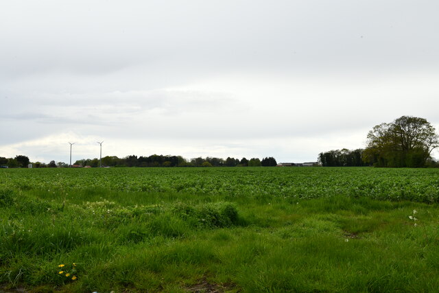
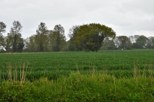
Attleborough Wood is a picturesque woodland located in Norfolk, England. Covering an area of approximately 50 hectares, it is a popular destination for nature enthusiasts and those seeking tranquility in the heart of the countryside. The wood is situated near the town of Attleborough, surrounded by rolling hills and meandering streams.
The woodland is predominantly comprised of deciduous trees, including oak, ash, and birch, which provide a vibrant display of colors throughout the seasons. Bluebells carpet the forest floor in spring, creating a breathtaking sight for visitors. The diverse range of flora and fauna found within Attleborough Wood has led to its designation as a Site of Special Scientific Interest.
Winding paths and trails meander through the woods, allowing visitors to explore its beauty at their own pace. Wildlife enthusiasts can spot a variety of bird species, such as woodpeckers and nuthatches, as well as mammals like deer and foxes. The wood is also home to a plethora of insects, including butterflies and dragonflies.
Attleborough Wood offers a peaceful retreat from the hustle and bustle of everyday life, making it an ideal spot for picnics or leisurely walks. The wood is managed by the Norfolk Wildlife Trust, which ensures the preservation of its natural beauty and the protection of its wildlife.
Overall, Attleborough Wood is a haven for nature lovers, offering a tranquil escape where visitors can immerse themselves in the beauty of Norfolk's countryside.
If you have any feedback on the listing, please let us know in the comments section below.
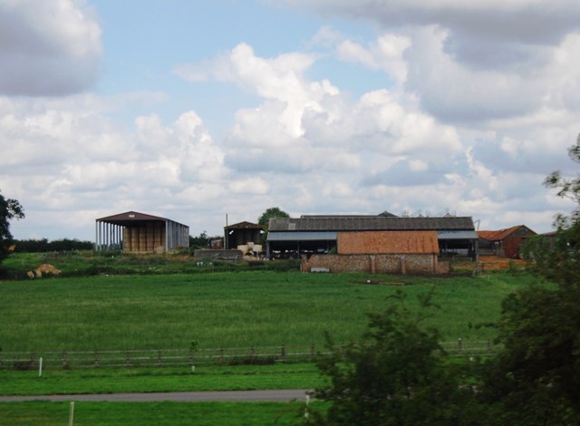
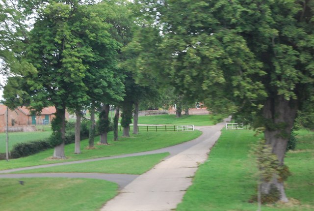
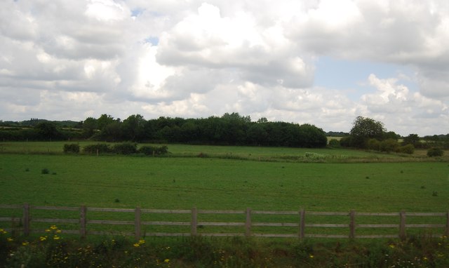
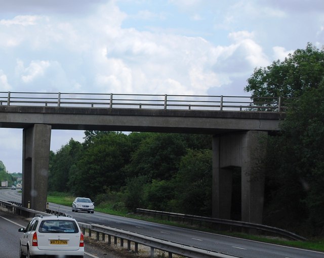
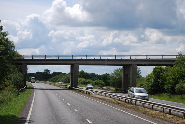
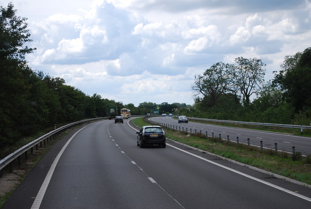
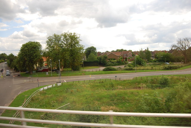
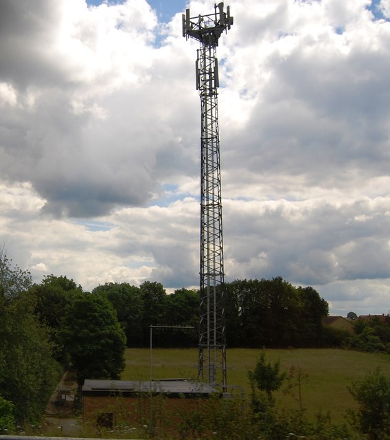
Attleborough Wood Images
Images are sourced within 2km of 52.535038/1.0094502 or Grid Reference TM0497. Thanks to Geograph Open Source API. All images are credited.


Attleborough Wood is located at Grid Ref: TM0497 (Lat: 52.535038, Lng: 1.0094502)
Administrative County: Norfolk
District: Breckland
Police Authority: Norfolk
What 3 Words
///pages.trick.comedians. Near Attleborough, Norfolk
Nearby Locations
Related Wikis

Morley Old Hall
Morley Old Hall is a Grade I-listed moated manor house built in the sixteenth century in the village of Morley Saint Peter, some twelve miles from the...
Attleborough Academy
Attleborough Academy/Attleborough Academy Norfolk (AA/AAN) (formerly Attleborough High School) is a coeducational secondary school and sixth form with...

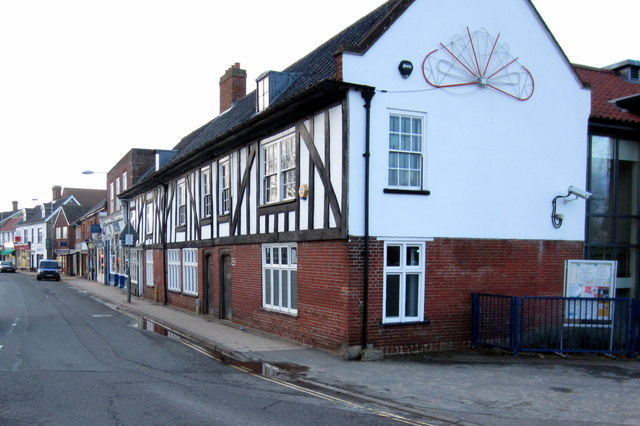
Attleborough
Attleborough is a market town and civil parish located on the A11 between Norwich and Thetford in Norfolk, England. The parish is in the district of Breckland...
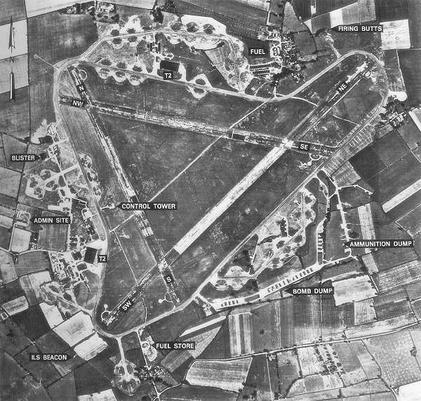
RAF Deopham Green
Royal Air Force Deopham Green or more simply RAF Deopham Green is a former Royal Air Force station located near Deopham Green 2 miles (3.2 km) north of...

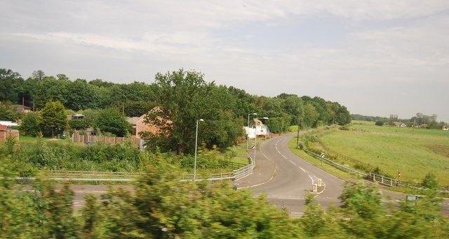
Great Ellingham
Great Ellingham is a village and civil parish in the Breckland District of Norfolk. The village lies 2.5 miles north-west of Attleborough, 2 miles south...
Great Ellingham Windmill
Great Ellingham Windmill is a Grade II listed tower mill in Great Ellingham, Norfolk, England which has been converted to residential accommodation....
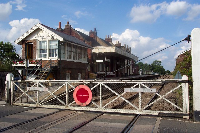
Attleborough railway station
Attleborough railway station is on the Breckland line in the east of England, serving the market town of Attleborough, Norfolk. The line runs between Cambridge...
Besthorpe, Norfolk
Besthorpe is a village and civil parish in the Breckland district of Norfolk, England, about a mile east of Attleborough, on the A11 road. According to...
Related Videos

WALKING THE BIKE PARK & SOME HARLEY DAVIDSON'S ARRIVING
2ND AUGUST 2020.

BIKES AT ROUTE 11 (WALKING THE BIKE PARK)
2ND AUGUST 2020.


Nearby Amenities
Located within 500m of 52.535038,1.0094502Have you been to Attleborough Wood?
Leave your review of Attleborough Wood below (or comments, questions and feedback).