Biggot's Plantation
Wood, Forest in Norfolk North Norfolk
England
Biggot's Plantation
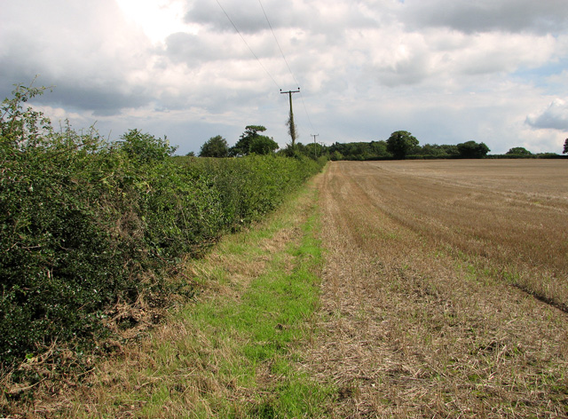
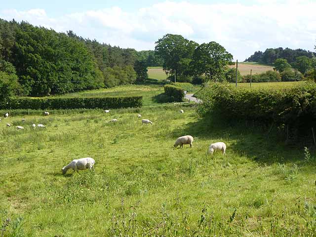
Biggot's Plantation, located in Norfolk County, Virginia, is a sprawling woodland area known for its rich biodiversity and scenic beauty. Encompassing an area of approximately 500 acres, the plantation is predominantly characterized by dense forests, showcasing a variety of tree species such as oak, pine, and maple.
The plantation's natural topography comprises undulating hills and valleys, creating a picturesque landscape that attracts nature enthusiasts and hikers alike. The forest floor is adorned with an array of wildflowers, ferns, and mosses, contributing to the area's vibrant ecosystem.
Wildlife thrives within the confines of Biggot's Plantation, with numerous mammal species calling it home, including white-tailed deer, foxes, and squirrels. The diverse bird population adds to the plantation's allure, with species such as red-tailed hawks, woodpeckers, and songbirds frequently spotted by visitors.
The plantation offers several well-maintained trails that meander through the woods, allowing visitors to explore the natural wonders at their own pace. These trails cater to both casual walkers and avid hikers, offering options for varying levels of difficulty and distance.
Beyond its natural beauty, Biggot's Plantation also holds historical significance. The plantation dates back to the 18th century, with remnants of its past still visible, including the stone foundations of old buildings and the remnants of a historic mill.
Overall, Biggot's Plantation in Norfolk County is a haven for nature enthusiasts and history buffs alike, offering a serene escape into the heart of Virginia's woodlands.
If you have any feedback on the listing, please let us know in the comments section below.
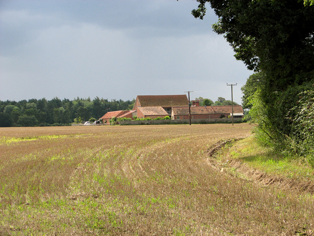
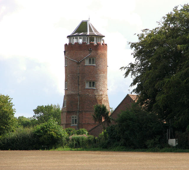
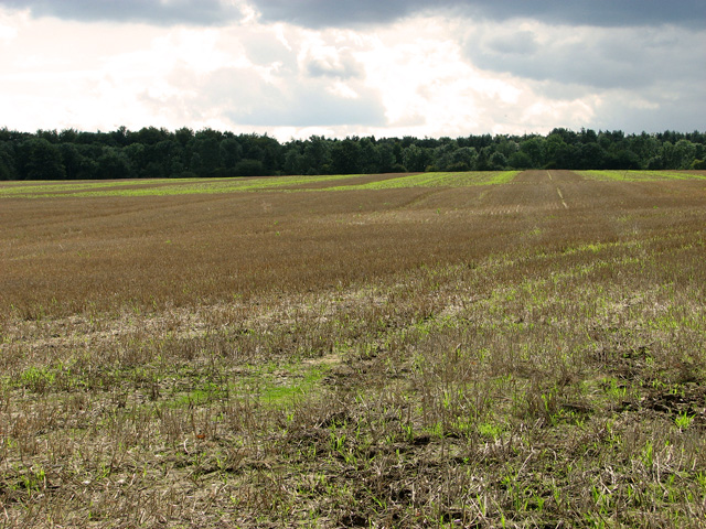
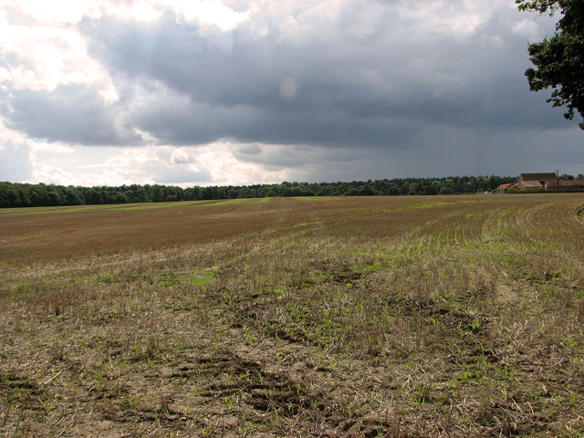
Biggot's Plantation Images
Images are sourced within 2km of 52.861639/1.031495 or Grid Reference TG0433. Thanks to Geograph Open Source API. All images are credited.


Biggot's Plantation is located at Grid Ref: TG0433 (Lat: 52.861639, Lng: 1.031495)
Administrative County: Norfolk
District: North Norfolk
Police Authority: Norfolk
What 3 Words
///become.defends.newspaper. Near Briston, Norfolk
Nearby Locations
Related Wikis

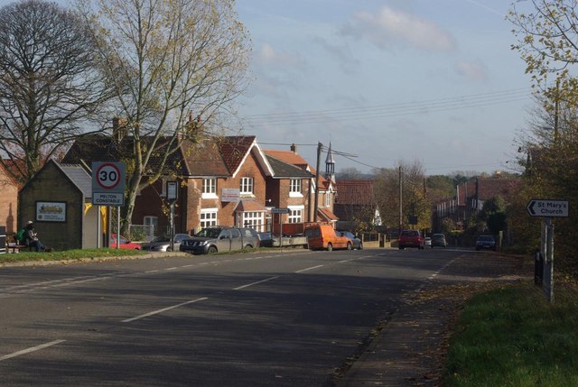
Melton Constable
Melton Constable is a village and civil parish in the English county of Norfolk. It covers an area of 6.96 km2 (2.69 sq mi) and had a population of 518...

Melton Constable railway station
Melton Constable was a railway station on the Midland and Great Northern Railway which served the North Norfolk village of Melton Constable from 1882 to...

Briningham
Briningham is a village and a civil parish in the English county of Norfolk. The village is 9.9 miles east north east of the town of Fakenham, 13.3 miles...
Stody
Stody is a village and a civil parish in the English county of Norfolk. The village is 13.2 miles (21.2 km) west south west of Cromer, 21.8 miles (35.1...
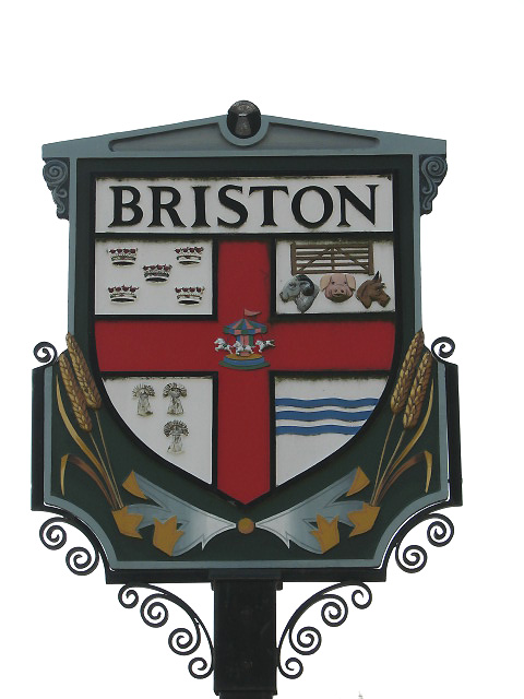
Briston
Briston is a village, civil parish and electoral ward in the English county of Norfolk that contains the hamlet of Briston Common. The village is 11 miles...
Brinton, Norfolk
Brinton is a village and a civil parish in the English county of Norfolk. The village is 10.8 miles east-north-east of the town of Fakenham, 13.1 miles...

Swanton Novers
Swanton Novers is a village and a civil parish in the English county of Norfolk. The village is 15.1 miles (24.3 km) west-south-west of Cromer, 23.1 miles...
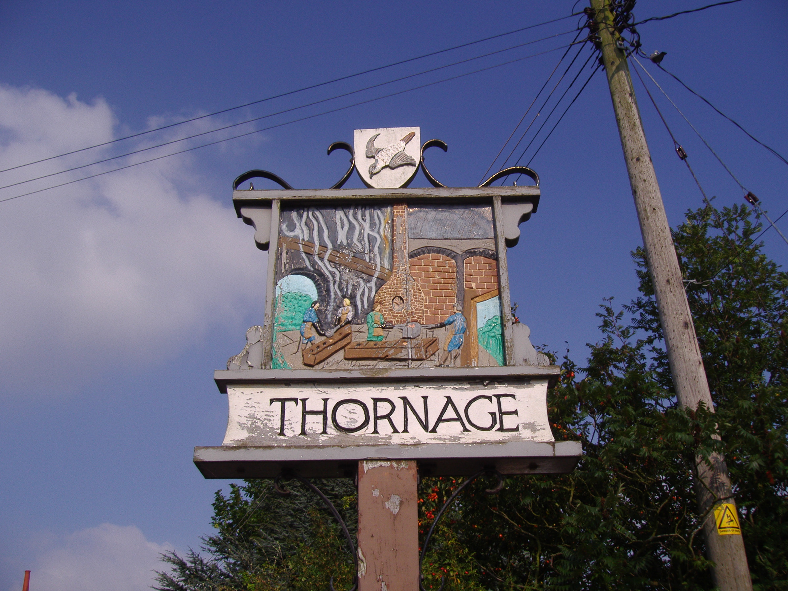
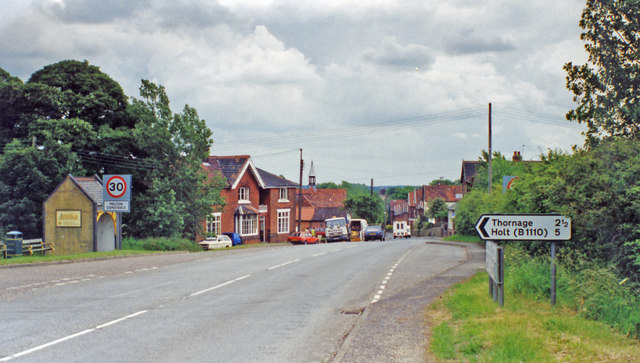
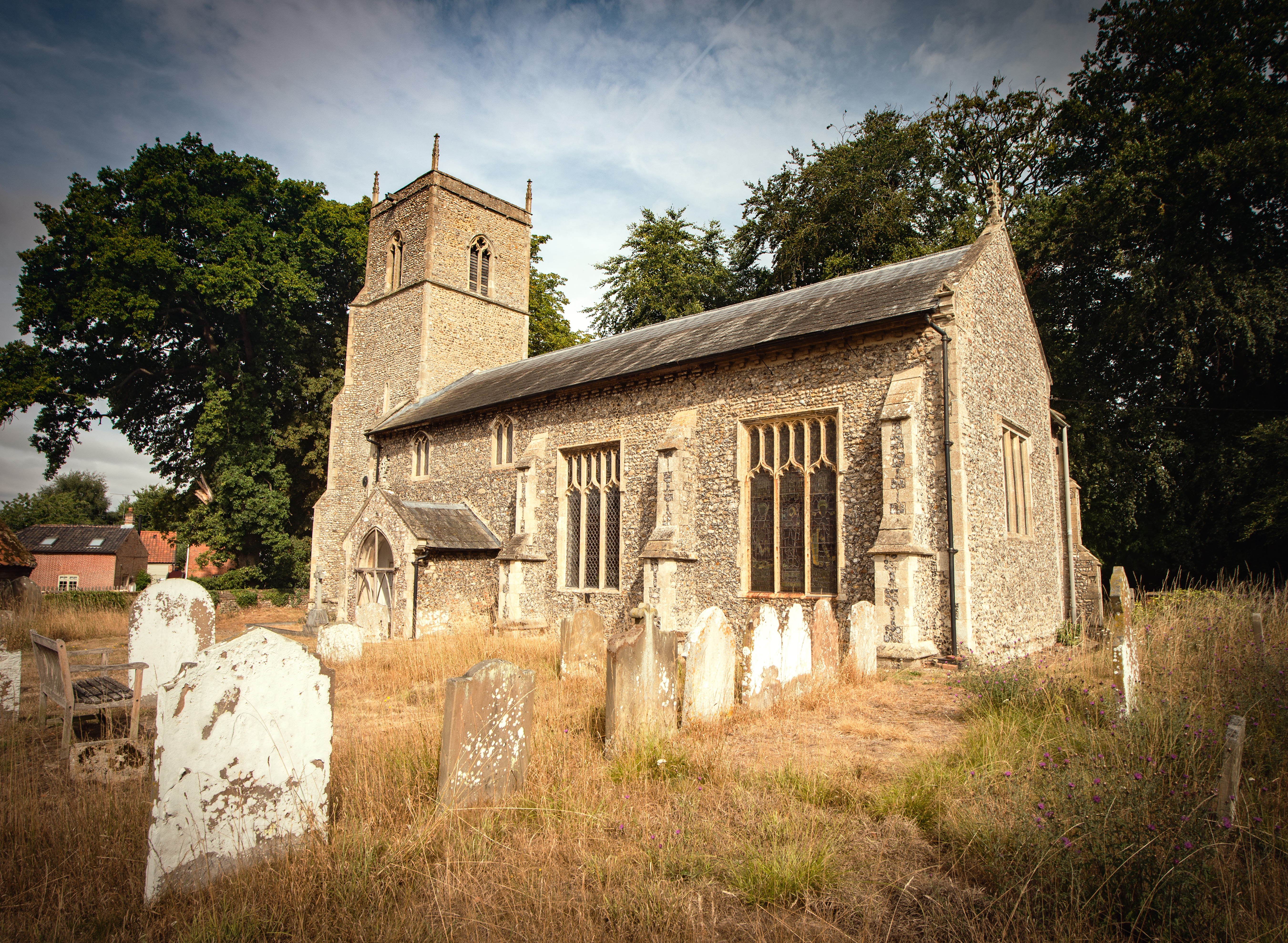
Thornage
Thornage is a village and a civil parish in the English county of Norfolk. The village is 2.7 miles south-west of Holt, 23.2 miles north-west of Norwich...
Nearby Amenities
Located within 500m of 52.861639,1.031495Have you been to Biggot's Plantation?
Leave your review of Biggot's Plantation below (or comments, questions and feedback).