Fingringhoe Common

Wood, Forest in Essex Colchester

England

Fingringhoe Common

River Colne at Fingringhoe Wick Nature Reserve 'Fingringhoe Wick is one of the finest nature reserves in the county. In the reserve you will find nature trails, bird hides and view points with stunning estuary views. 

There were 40 years of gravel extraction on the nature reserve before Essex Wildlife Trust bought it.  It offers a wide range of habitats including areas of grassland, gorse heathland, reedbeds, ponds and the estuary itself.  

Fingringhoe Wick is famous for its Nightingales each spring.  The songsters ring out over the reserve and there are usually about 25 males to be heard.  Thousands of waders and wildfowl use the estuary in the winter and as many as 700 Avocets can be seen.'

See
<span class="nowrap"><a title="http://www.essexwt.org.uk/visitor_centres__nature_reserves/fingringhoe_wick/" rel="nofollow ugc noopener" href="http://www.essexwt.org.uk/visitor_centres__nature_reserves/fingringhoe_wick/">Link</a><img style="margin-left:2px;" alt="External link" title="External link - shift click to open in new window" src="https://s1.geograph.org.uk/img/external.png" width="10" height="10"/></span>
River Colne at Fingringhoe Wick Nature Reserve Credit: PAUL FARMER

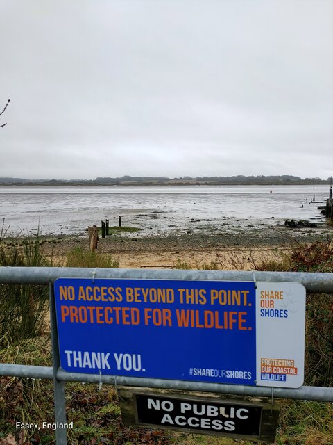
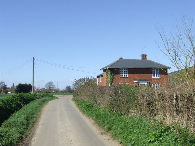
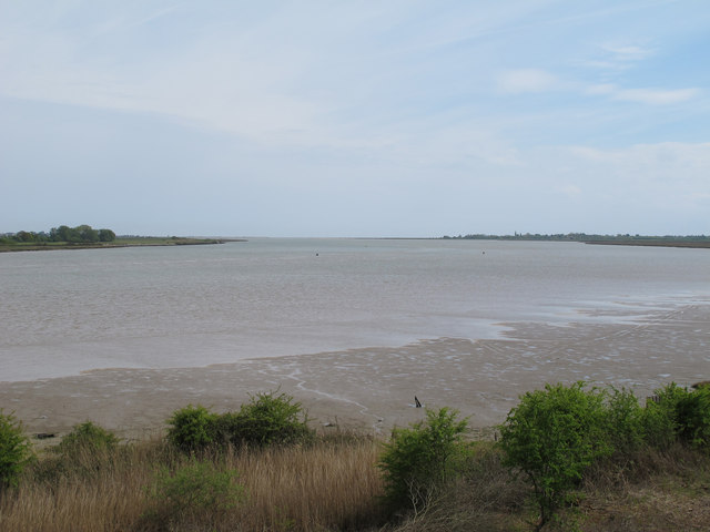
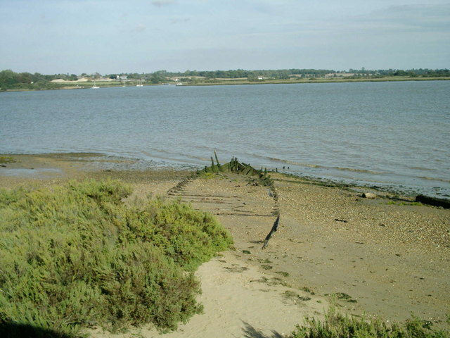
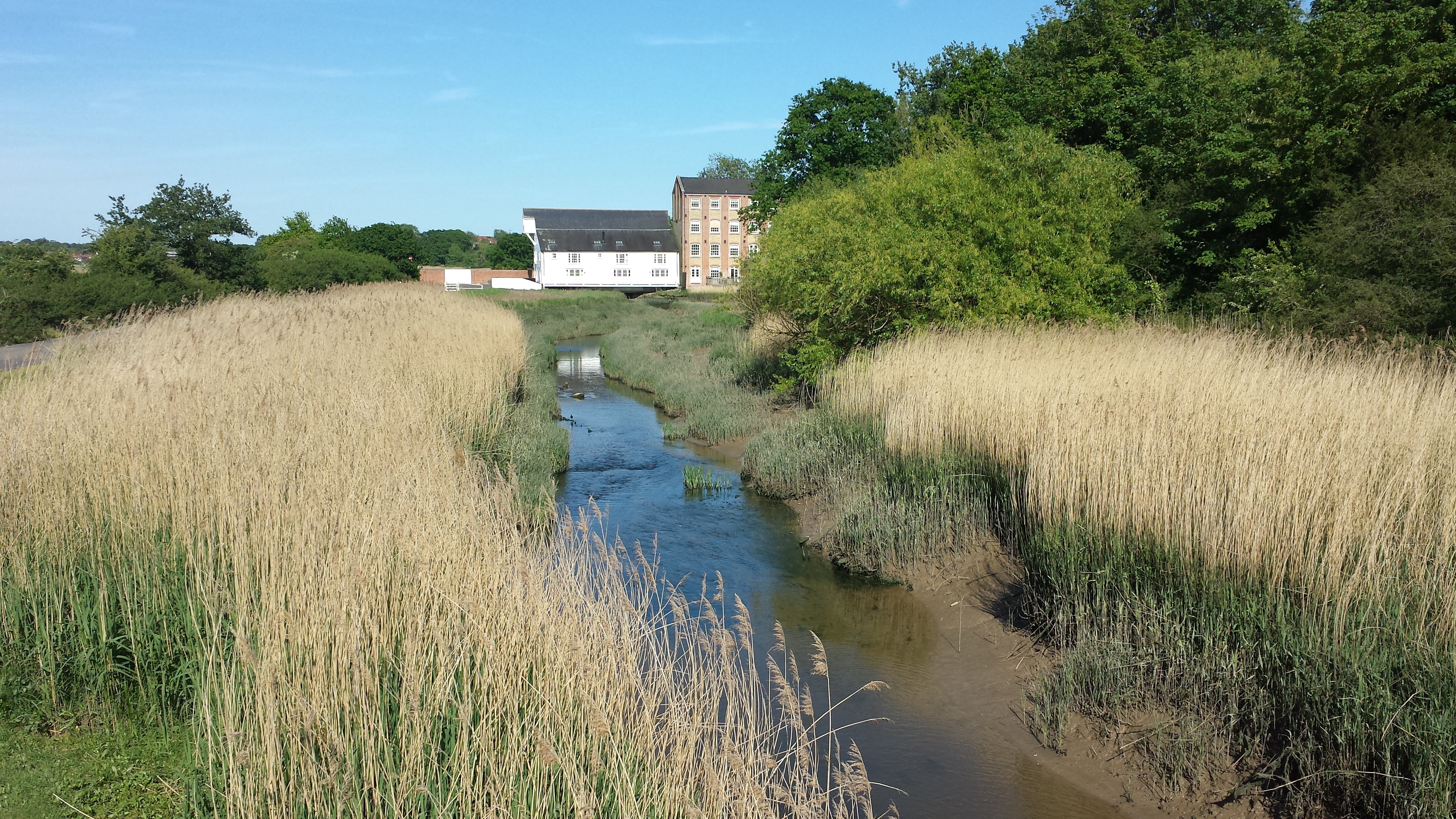
Fingringhoe Common is a picturesque woodland area located in Essex, England. Covering an expansive area of approximately 300 acres, this common is a designated Site of Special Scientific Interest (SSSI) and is managed by the Essex Wildlife Trust.

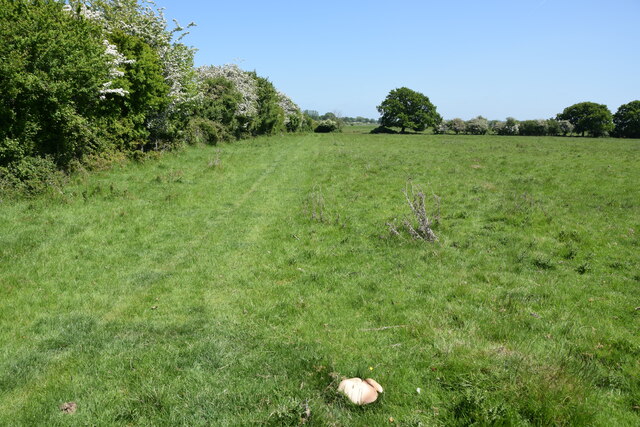
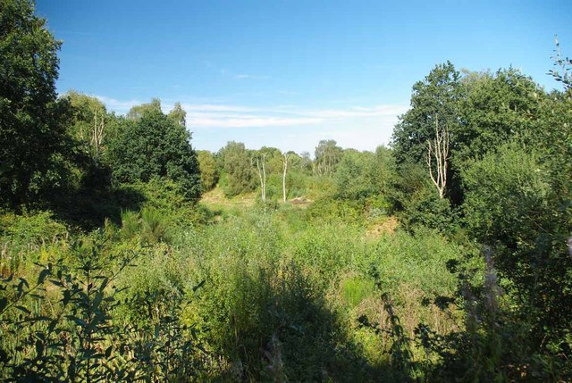
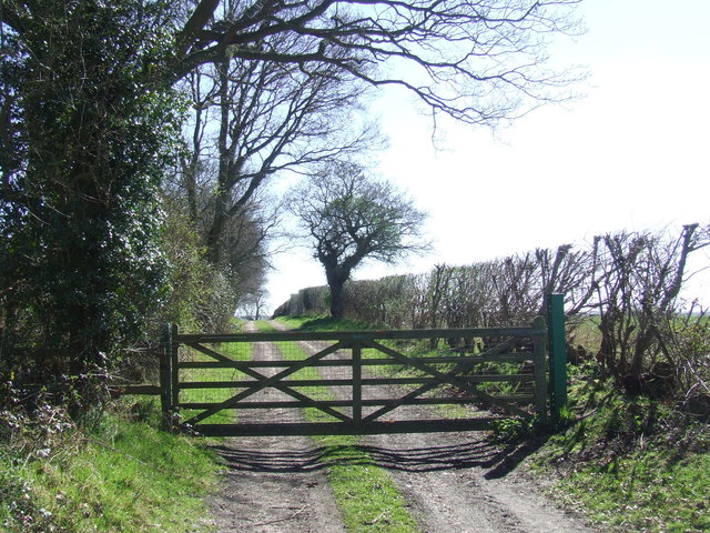
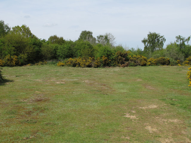
The common is predominantly made up of ancient woodland, consisting of a diverse range of tree species including oak, ash, and hornbeam. The dense canopy provides a habitat for a variety of bird species such as woodpeckers, buzzards, and nightingales, making it a haven for birdwatchers and nature enthusiasts.

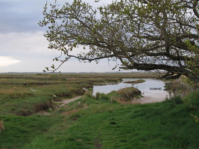
In addition to its woodland, Fingringhoe Common also boasts several ponds and marshy areas. These wetland habitats attract a multitude of water-dwelling creatures, including frogs, newts, and dragonflies. The common is also home to a rich diversity of plants, with wildflowers such as bluebells, primroses, and orchids carpeting the forest floor during the spring and summer months.

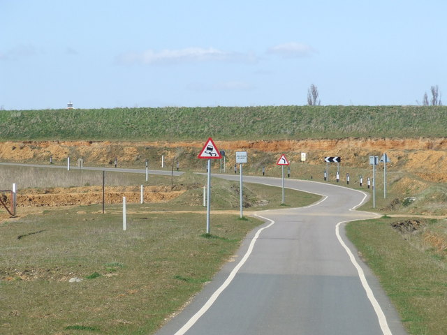
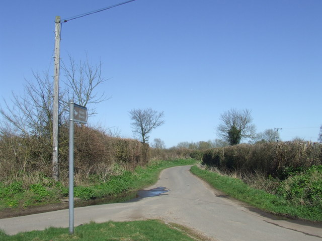
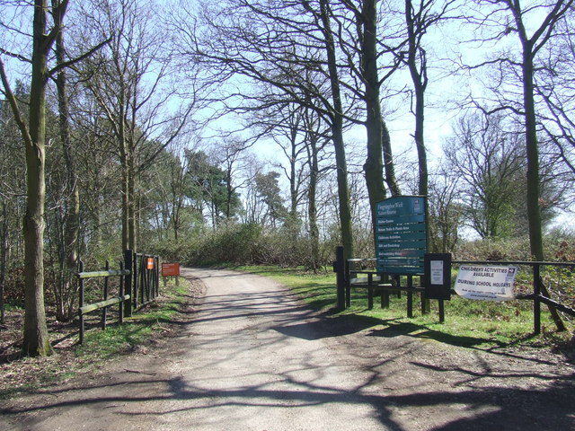
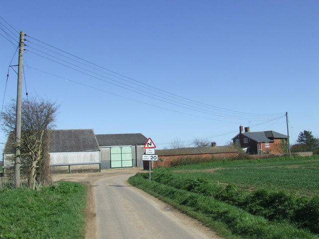
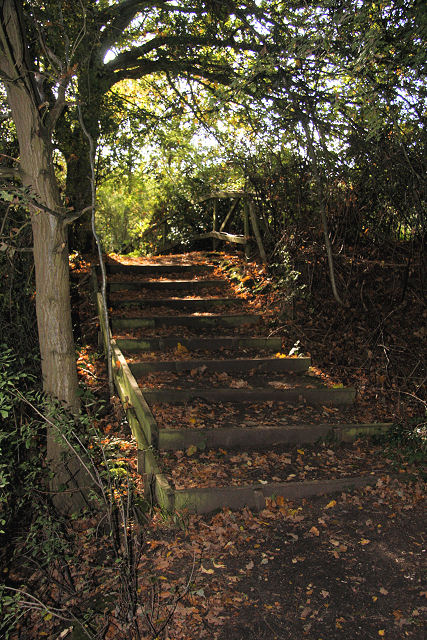
Fingringhoe Common offers visitors a range of recreational activities. There are numerous walking trails throughout the woodland, allowing visitors to explore the area at their own pace. The common also features a visitor center, where visitors can learn more about the local wildlife and conservation efforts.

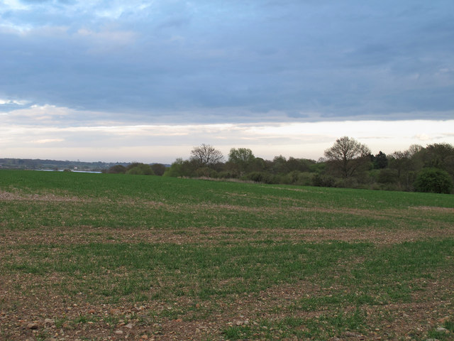
Overall, Fingringhoe Common is a stunning natural area that provides a sanctuary for a wide range of plant and animal species. Its tranquil atmosphere and beautiful scenery make it a popular destination for both locals and tourists seeking a peaceful retreat in the heart of Essex.

If you have any feedback on the listing, please let us know in the comments section below.

Fingringhoe Common Images

Images are sourced within 2km of 51.847543/0.96189433 or Grid Reference TM0420. Thanks to Geograph Open Source API. All images are credited.

River Colne at Fingringhoe Wick Nature Reserve 'Fingringhoe Wick is one of the finest nature reserves in the county. In the reserve you will find nature trails, bird hides and view points with stunning estuary views. 

There were 40 years of gravel extraction on the nature reserve before Essex Wildlife Trust bought it.  It offers a wide range of habitats including areas of grassland, gorse heathland, reedbeds, ponds and the estuary itself.  

Fingringhoe Wick is famous for its Nightingales each spring.  The songsters ring out over the reserve and there are usually about 25 males to be heard.  Thousands of waders and wildfowl use the estuary in the winter and as many as 700 Avocets can be seen.'

See
<span class="nowrap"><a title="http://www.essexwt.org.uk/visitor_centres__nature_reserves/fingringhoe_wick/" rel="nofollow ugc noopener" href="http://www.essexwt.org.uk/visitor_centres__nature_reserves/fingringhoe_wick/">Link</a><img style="margin-left:2px;" alt="External link" title="External link - shift click to open in new window" src="https://s1.geograph.org.uk/img/external.png" width="10" height="10"/></span>
River Colne at Fingringhoe Wick Nature Reserve
'Fingringhoe Wick is one of the finest nature reserves in the county. In the reserve you will find nature trails, bird hides and view points with stunning estuary views. There were 40 years of gravel extraction on the nature reserve before Essex Wildlife Trust bought it. It offers a wide range of habitats including areas of grassland, gorse heathland, reedbeds, ponds and the estuary itself. Fingringhoe Wick is famous for its Nightingales each spring. The songsters ring out over the reserve and there are usually about 25 males to be heard. Thousands of waders and wildfowl use the estuary in the winter and as many as 700 Avocets can be seen.' See LinkExternal link
Sheep pasture on Fingrinhoe Ranges I am on the public footpath which skirts the norther edge of the military firing ranges. The path can only be walked when the red flags are not flying. Just in front of me is a large field mushroom.
Sheep pasture on Fingrinhoe Ranges
I am on the public footpath which skirts the norther edge of the military firing ranges. The path can only be walked when the red flags are not flying. Just in front of me is a large field mushroom.
Wivenhoe, St Mary the Virgin
Regrowth at Fingeringhoe Wick A view across one of the former gravel pits on Fingeringhoe Wick Nature Reserve <span class="nowrap"><a title="http://www.essexwt.org.uk/visitor_centres__nature_reserves/fingringhoe_wick/" rel="nofollow ugc noopener" href="http://www.essexwt.org.uk/visitor_centres__nature_reserves/fingringhoe_wick/">Link</a><img style="margin-left:2px;" alt="External link" title="External link - shift click to open in new window" src="https://s1.geograph.org.uk/img/external.png" width="10" height="10"/></span>
Regrowth at Fingeringhoe Wick
A view across one of the former gravel pits on Fingeringhoe Wick Nature Reserve LinkExternal link
Furneaux Lane near Fingringhoe Furneaux Lane passes through a sand and gravel pit.  Looking at the map, it appears that the road has recently been rerouted.  This image shows a new section of the road.
Furneaux Lane near Fingringhoe
Furneaux Lane passes through a sand and gravel pit. Looking at the map, it appears that the road has recently been rerouted. This image shows a new section of the road.
Country lane near Fingringhoe, Essex The signpost points to a nature reserve at the far end of this country lane.
Country lane near Fingringhoe, Essex
The signpost points to a nature reserve at the far end of this country lane.
Fingringhoe Wick Nature Reserve, Essex The entrance gates to the nature reserve at Fingringhoe Wick.

The nature reserve is managed by the Essex Wildlife Trust.  More information is available here: <span class="nowrap"><a title="http://www.essexwt.org.uk/reserves/fingringhoe-wick" rel="nofollow ugc noopener" href="http://www.essexwt.org.uk/reserves/fingringhoe-wick">Link</a><img style="margin-left:2px;" alt="External link" title="External link - shift click to open in new window" src="https://s1.geograph.org.uk/img/external.png" width="10" height="10"/></span>
Fingringhoe Wick Nature Reserve, Essex
The entrance gates to the nature reserve at Fingringhoe Wick. The nature reserve is managed by the Essex Wildlife Trust. More information is available here: LinkExternal link
Gated track near Fingringhoe
South Green Road near Fingringhoe, Essex South Green Road is a lane on a rural part of Essex.  Here it passes a farmhouse.
South Green Road near Fingringhoe, Essex
South Green Road is a lane on a rural part of Essex. Here it passes a farmhouse.
Plane Hall Farm near Fingringhoe, Essex Plane Hall Farm is in a rural part of Essex.
Plane Hall Farm near Fingringhoe, Essex
Plane Hall Farm is in a rural part of Essex.
Fingringhoe Marsh This section of the marsh is close to a military practice range - only accessible when the red flag is not flying.
Fingringhoe Marsh
This section of the marsh is close to a military practice range - only accessible when the red flag is not flying.
Arable land near Fingringhoe Wick Looking towards the River Colne, adjacent to Fingringhoe Wick Nature Reserve.
Arable land near Fingringhoe Wick
Looking towards the River Colne, adjacent to Fingringhoe Wick Nature Reserve.
River Colne, from Geedon Bay Hide, Fingringhoe Wick Fingringhoe Wick Nature Reserve is owned and managed by the Essex Wildlife Trust.

Essex Wildlife Trust: <span class="nowrap"><a title="http://www.webcitation.org/6Gg3tDwDL" rel="nofollow ugc noopener" href="http://www.webcitation.org/6Gg3tDwDL">Link</a><img style="margin-left:2px;" alt="External link" title="External link - shift click to open in new window" src="https://s1.geograph.org.uk/img/external.png" width="10" height="10"/></span>
Wild Essex: <span class="nowrap"><a title="http://www.webcitation.org/6Gg3yL7hI" rel="nofollow ugc noopener" href="http://www.webcitation.org/6Gg3yL7hI">Link</a><img style="margin-left:2px;" alt="External link" title="External link - shift click to open in new window" src="https://s1.geograph.org.uk/img/external.png" width="10" height="10"/></span>
River Colne, from Geedon Bay Hide, Fingringhoe Wick
Fingringhoe Wick Nature Reserve is owned and managed by the Essex Wildlife Trust. Essex Wildlife Trust: LinkExternal link Wild Essex: LinkExternal link
East Heath, Fingringhoe Wick Fingringhoe Wick Nature Reserve is owned and managed by the Essex Wildlife Trust.

Essex Wildlife Trust: <span class="nowrap"><a title="http://www.webcitation.org/6Gg3tDwDL" rel="nofollow ugc noopener" href="http://www.webcitation.org/6Gg3tDwDL">Link</a><img style="margin-left:2px;" alt="External link" title="External link - shift click to open in new window" src="https://s1.geograph.org.uk/img/external.png" width="10" height="10"/></span>
Wild Essex: <span class="nowrap"><a title="http://www.webcitation.org/6Gg3yL7hI" rel="nofollow ugc noopener" href="http://www.webcitation.org/6Gg3yL7hI">Link</a><img style="margin-left:2px;" alt="External link" title="External link - shift click to open in new window" src="https://s1.geograph.org.uk/img/external.png" width="10" height="10"/></span>
East Heath, Fingringhoe Wick
Fingringhoe Wick Nature Reserve is owned and managed by the Essex Wildlife Trust. Essex Wildlife Trust: LinkExternal link Wild Essex: LinkExternal link
Fingringhoe Wick shoreline, hulk and River Colne View of shoreline at Fingringhoe Wick with River Colne. Image shows remains of boat hulk. Alresford Creek is on the other side of the river in the distance.
Fingringhoe Wick shoreline, hulk and River Colne
View of shoreline at Fingringhoe Wick with River Colne. Image shows remains of boat hulk. Alresford Creek is on the other side of the river in the distance.
New Reserve Fingringhoe Wick This is a view of Essex wildlife Trust’s <span class="nowrap"><a title="http://www.essexwt.org.uk/" rel="nofollow ugc noopener" href="http://www.essexwt.org.uk/">Link</a><img style="margin-left:2px;" alt="External link" title="External link - shift click to open in new window" src="https://s1.geograph.org.uk/img/external.png" width="10" height="10"/></span>  newest acquisition to add to its oldest reserve Fingringhoe Wick  <span class="nowrap"><a title="http://www.essexwt.org.uk/reserves/fingringhoe-wick" rel="nofollow ugc noopener" href="http://www.essexwt.org.uk/reserves/fingringhoe-wick">Link</a><img style="margin-left:2px;" alt="External link" title="External link - shift click to open in new window" src="https://s1.geograph.org.uk/img/external.png" width="10" height="10"/></span>. The plot runs from the trees on the left as far as the sea wall and to the ridge in the distance. Contracts have now been exchanged on this piece of “reclaimed farmland” and in due course the sea wall will be breached as part of a managed retreat in order to create <a href="https://www.geograph.org.uk/photo/550777">TL9613 : New Saltmarsh</a> as has been successfully achieved at their <a href="https://www.geograph.org.uk/photo/550751">TL9614 : Abbots Hall Farm HQ</a>
New Reserve Fingringhoe Wick
This is a view of Essex wildlife Trust’s LinkExternal link newest acquisition to add to its oldest reserve Fingringhoe Wick LinkExternal link. The plot runs from the trees on the left as far as the sea wall and to the ridge in the distance. Contracts have now been exchanged on this piece of “reclaimed farmland” and in due course the sea wall will be breached as part of a managed retreat in order to create TL9613 : New Saltmarsh as has been successfully achieved at their TL9614 : Abbots Hall Farm HQ
Rowhedge Quay The quay on the River Colne is no longer in use. The photo was taken from Wivenhoe, on the opposite bank.
Rowhedge Quay
The quay on the River Colne is no longer in use. The photo was taken from Wivenhoe, on the opposite bank.
Mill on Roman River The mill has been recently restored
Mill on Roman River
The mill has been recently restored
Show me another place!

Fingringhoe Common is located at Grid Ref: TM0420 (Lat: 51.847543, Lng: 0.96189433)

Administrative County: Essex

District: Colchester

Police Authority: Essex

What 3 Words

///wiping.comfort.nurtures. Near Wivenhoe, Essex

Nearby Locations

Fingringhoe Common

Related Wikis

Roman River

The Roman River is a river that flows entirely through the English county of Essex. It is a tributary of the River Colne, flowing into its tidal estuary...

East Donyland

East Donyland is a civil parish in the City of Colchester district of Essex, England. The civil parish includes the village of Rowhedge. The parish touches...

Fingringhoe

Fingringhoe is a village and civil parish in the City of Colchester district of Essex, England. The centre of the village is classified as a conservation...

Wivenhoe railway station

Wivenhoe railway station is on the Sunshine Coast Line, a branch of the Great Eastern Main Line, in the East of England, serving the small town of Wivenhoe...

Rowhedge

Rowhedge is a village in the Colchester borough of Essex, England. It is located just over 3 miles (4.8 km) south-east of Colchester town centre and is...

Rowhedge Ironworks

Rowhedge Ironworks was a shipyard situated on the River Colne, and in the village of Rowhedge, in the English county of Essex. It existed from 1904 to...

Fingringhoe Wick

Fingringhoe Wick is a 48.6-hectare (120-acre) nature reserve in Fingringhoe in Essex. It is managed by the Essex Wildlife Trust, which runs a visitor centre...

Cockaynes Wood

Cockaynes Wood is a 20.2-hectare (50-acre) nature reserve between Wivenhoe and Alresford in Essex, United Kingdom. It is managed by the Essex Wildlife...

Nearby Amenities

Located within 500m of 51.847543,0.96189433
Bus Stop
Brook Hall Road
Naptan AtcoCode: 1500FINGBAA
Naptan Bearing: E
Naptan BusStopType: CUS
Naptan CommonName: Brook Hall Road
Naptan Crossing: Brook Hall Road
Naptan Indicator: Opp
Naptan Landmark: Brook Hall Road
Naptan NaptanCode: esxjagtd
Naptan Street: Abberton Road
Naptan Verified: no
Public Transport: platform
Source: naptan_import
Lat/Long: 51.8469742/0.9564625
Bus Stop
Brook Hall Road
Naptan AtcoCode: 1500FINGBRK
Naptan Bearing: W
Naptan BusStopType: CUS
Naptan CommonName: Brook Hall Road
Naptan Crossing: Brook Hall Road
Naptan Indicator: Adj
Naptan Landmark: Brook Hall Road
Naptan NaptanCode: esxgmjtp
Naptan Street: Abberton Road
Naptan Verified: no
Public Transport: platform
Source: naptan_import
Lat/Long: 51.8469109/0.9564729
Post Box
Collection Times: Mo-Fr 17:00; Sa 10:30
Operator: Royal Mail
Post Box Type: lamp
Ref: CO5 148
Royal Cypher: EIIR
Royal Cypher Wikidata: Q33102113
Source: Bing; survey; gps
Source Position: gps
Lat/Long: 51.8468379/0.9567632
Frere Way
Naptan AtcoCode: 1500IM1896
Naptan BusStopType: CUS
Naptan NaptanCode: esxgmjtw
Naptan Verified: no
Public Transport: platform
Source: naptan
Lat/Long: 51.8461934/0.9587708
The data included in this document is from www.openstreetmap.org. The data is made available under ODbL.

Have you been to Fingringhoe Common?

Leave your review of Fingringhoe Common below (or comments, questions and feedback).