Grove Wood

Wood, Forest in Kent Swale

England

Grove Wood

Crouch Lane passing under the railway bridge Leading to Selling Station.
Crouch Lane passing under the railway bridge Credit: pam fray

Grove Wood is a picturesque forest located in the county of Kent, England. Situated in the heart of the Kent Downs Area of Outstanding Natural Beauty, this wood offers a tranquil and serene escape from the hustle and bustle of everyday life. Covering an area of approximately 100 acres, Grove Wood is a haven for nature enthusiasts and outdoor adventurers alike.

The wood is characterized by its dense canopy of ancient trees, including oak, beech, and ash, which provide a rich habitat for a diverse range of flora and fauna. Walking through the wood, visitors can spot wildflowers, ferns, and mosses, creating a vibrant and enchanting atmosphere.

Grove Wood is also home to a variety of wildlife, with birds such as woodpeckers, owls, and thrushes filling the air with their melodic songs. Squirrels can be seen scampering through the trees, while deer, foxes, and badgers may be spotted in the undergrowth.

The wood is crisscrossed with a network of well-maintained trails and footpaths, making it an ideal destination for hikers, joggers, and dog walkers. These paths offer stunning views of the surrounding countryside, with rolling hills and meadows stretching into the distance.

Grove Wood is not only a natural gem but also holds historical significance. It has remnants of ancient settlements, including Iron Age earthworks and medieval ruins, adding an extra layer of intrigue to the area.

Overall, Grove Wood in Kent is a captivating destination for nature lovers, history enthusiasts, and anyone seeking a peaceful retreat in the heart of the English countryside.

If you have any feedback on the listing, please let us know in the comments section below.

Grove Wood Images

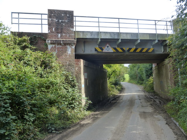
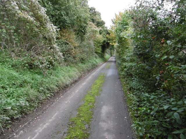
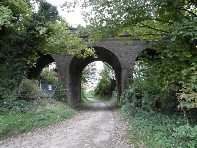
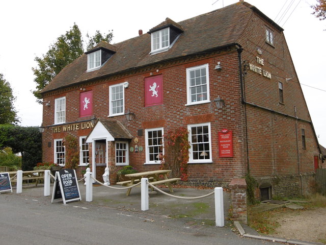
Images are sourced within 2km of 51.267227/0.92108308 or Grid Reference TR0356. Thanks to Geograph Open Source API. All images are credited.

Crouch Lane passing under the railway bridge Leading to Selling Station.
Crouch Lane passing under the railway bridge
Leading to Selling Station.
New homes in Selling A small development taking place near Oversland.
New homes in Selling
A small development taking place near Oversland.
Fox Lane railway bridge Looking towards Oversland.
Fox Lane railway bridge
Looking towards Oversland.
Corner of small unnamed wood This appears to have been a feature in Lees Court Park, but now lies outside the formal park, in farmland.
Corner of small unnamed wood
This appears to have been a feature in Lees Court Park, but now lies outside the formal park, in farmland.
Valley east of Lees Court Road A public bridleway runs along the bottom of the dry valley.
Valley east of Lees Court Road
A public bridleway runs along the bottom of the dry valley.
Gentle valley south of Fridhill Wood
View towards Shepherds Hill A lane to Shepherds Hill runs along the east margin of the field.
View towards Shepherds Hill
A lane to Shepherds Hill runs along the east margin of the field.
Hogben's Hill The descent from the hill ahead is signed as 12%.
Hogben's Hill
The descent from the hill ahead is signed as 12%.
Jesmondene Oast The marks on the barn wall are from when bushes grew up against the wall before they were cut back or removed.
Jesmondene Oast
The marks on the barn wall are from when bushes grew up against the wall before they were cut back or removed.
Kit Hill As can be seen from the state of the road, Kit Hill is narrow and little used. It is muddy in winter and after a couple of turns it eventually reaches the tiny hamlet of Crouch. Here it passes through a narrow strip of woodland.
Kit Hill
As can be seen from the state of the road, Kit Hill is narrow and little used. It is muddy in winter and after a couple of turns it eventually reaches the tiny hamlet of Crouch. Here it passes through a narrow strip of woodland.
Kit Hill As can be seen from the state of the road, Kit Hill is narrow and little used. It is muddy in winter. Here it passes through a narrow strip of woodland.
Kit Hill
As can be seen from the state of the road, Kit Hill is narrow and little used. It is muddy in winter. Here it passes through a narrow strip of woodland.
Kit Hill near Dane Court Farm As can be seen from the state of the road, Kit Hill is narrow and little used. It is muddy in winter and after a couple of turns it eventually reaches the tiny hamlet of Crouch. Here it passes Dane Court Farm.
Kit Hill near Dane Court Farm
As can be seen from the state of the road, Kit Hill is narrow and little used. It is muddy in winter and after a couple of turns it eventually reaches the tiny hamlet of Crouch. Here it passes Dane Court Farm.
Danecourt Bridge As can be seen from the state of the road, Kit Hill is narrow and little used. A little way ahead it reaches the tiny hamlet of Crouch. Here it passes under the railway line between Faversham and Selling at Danecourt Bridge.

The section of the East Kent Railway between Chatham and Faversham opened on 25th January 1858. The continuation from Faversham to Canterbury East was opened on 9th July 1860 by the London, Chatham & Dover Railway. Faversham is the next station to the left and Selling to the right.
Danecourt Bridge
As can be seen from the state of the road, Kit Hill is narrow and little used. A little way ahead it reaches the tiny hamlet of Crouch. Here it passes under the railway line between Faversham and Selling at Danecourt Bridge. The section of the East Kent Railway between Chatham and Faversham opened on 25th January 1858. The continuation from Faversham to Canterbury East was opened on 9th July 1860 by the London, Chatham & Dover Railway. Faversham is the next station to the left and Selling to the right.
The White Lion, Selling The village of Selling is about a mile from the station. Its pub is The White Lion, seen here looking across Selling Road.
The White Lion, Selling
The village of Selling is about a mile from the station. Its pub is The White Lion, seen here looking across Selling Road.
The White Lion, Selling The village of Selling is about a mile from the station. Its pub is The White Lion, seen here looking across Selling Road.
The White Lion, Selling
The village of Selling is about a mile from the station. Its pub is The White Lion, seen here looking across Selling Road.
Vicarage Lane, Selling The churchyard wall of St Mary's is on the left. The building is a mortuary chapel which has now been converted by the church into a dwelling.
Vicarage Lane, Selling
The churchyard wall of St Mary's is on the left. The building is a mortuary chapel which has now been converted by the church into a dwelling.
St Mary's Church, Selling Large parts of the church date from c.1190 although the church was over-restored in the 1840s. The nave was rebuilt with aisles and a south porch c.1300 and lofty arcades. The east window seen here on the right can be dated to between 1299 and 1307.
St Mary's Church, Selling
Large parts of the church date from c.1190 although the church was over-restored in the 1840s. The nave was rebuilt with aisles and a south porch c.1300 and lofty arcades. The east window seen here on the right can be dated to between 1299 and 1307.
St Mary's Churchyard, Selling Large parts of the church date from c.1190 although the church was over-restored in the 1840s. The nave was rebuilt c.1300 with aisles and a south porch c.1300. 

This is part of the churchyard to the south of the south porch. The large tomb is to Thomas Neame the elder who died 22nd May 1817 aged 70 years, his wife Catherine who died 1st November 1818 aged 70 and their youngest son Robert who died 15th April 1821 aged 27.
St Mary's Churchyard, Selling
Large parts of the church date from c.1190 although the church was over-restored in the 1840s. The nave was rebuilt c.1300 with aisles and a south porch c.1300. This is part of the churchyard to the south of the south porch. The large tomb is to Thomas Neame the elder who died 22nd May 1817 aged 70 years, his wife Catherine who died 1st November 1818 aged 70 and their youngest son Robert who died 15th April 1821 aged 27.
Show me another place!

Grove Wood is located at Grid Ref: TR0356 (Lat: 51.267227, Lng: 0.92108308)

Administrative County: Kent

District: Swale

Police Authority: Kent

What 3 Words

///nurtures.limit.clockwork. Near Faversham, Kent

Related Wikis

Perrywood

Perrywood is a village and a wood near the village of Selling, in the Swale District, in the English county of Kent. It is south of the town of Faversham...

Selling, Kent

Selling is a village and civil parish southeast of Faversham and west of Canterbury in Kent, England. == Geography == The village is hilly, sloping down...

Selling railway station

Selling railway station is on the Dover branch of the Chatham Main Line in England, serving the village of Selling, Kent. It is 55 miles 18 chains (88...

Oversland

Oversland is a settlement in the Swale district of Kent, England. It is located about 1 mile (1.6 km) to the west of Selling and is situated near Selling...

Nearby Amenities

Located within 500m of 51.267227,0.92108308
Bus Stop
White Lion
Flag: no
Naptan AtcoCode: 2400A038730A
Naptan Bearing: W
Naptan BusStopType: CUS
Naptan CommonName: White Lion
Naptan Indicator: o/s
Naptan Landmark: White Lion
Naptan NaptanCode: kntdpgwt
Naptan Street: Selling Road
Naptan Verified: no
Public Transport: platform
Source: naptan_import
Lat/Long: 51.2713603/0.9236577
Post Box
Postal Code: ME13
Ref: ME13 46
Source: survey
Lat/Long: 51.2712977/0.9230982
Generator Method: photovoltaic
Generator Output Electricity: yes
Generator Solar Modules: 6
Generator Source: solar
Generator Type: solar_photovoltaic_panel
Location: roof
Power: generator
Lat/Long: 51.2704141/0.9256135
Post Office
Selling Post Office
Addr City: Selling, Faversham
Addr Housename: The White Lion
Addr Postcode: ME13 9RQ
Addr Street: The Street
Brand: Post Office
Brand Wikidata: Q1783168
Opening Hours: Tu 10:00-12:00
Ref Pol Id: 175357
Lat/Long: 51.2713885/0.9237708
Generator Method: photovoltaic
Generator Output Electricity: yes
Generator Source: solar
Generator Type: solar_photovoltaic_panel
Location: roof
Power: generator
Lat/Long: 51.2698472/0.926089
Generator Method: photovoltaic
Generator Output Electricity: yes
Generator Solar Modules: 8
Generator Source: solar
Generator Type: solar_photovoltaic_panel
Location: roof
Power: generator
Lat/Long: 51.2704346/0.925515
Generator Method: photovoltaic
Generator Output Electricity: yes
Generator Solar Modules: 4
Generator Source: solar
Generator Type: solar_photovoltaic_panel
Location: roof
Power: generator
Lat/Long: 51.2703867/0.9255821
The data included in this document is from www.openstreetmap.org. The data is made available under ODbL.

Have you been to Grove Wood?

Leave your review of Grove Wood below (or comments, questions and feedback).