Round Wood
Wood, Forest in Norfolk Breckland
England
Round Wood

Round Wood is a picturesque village located in the county of Norfolk, England. Situated within a forested area, it is known for its abundant woodlands and natural beauty. The village is nestled amidst the larger Thetford Forest, offering residents and visitors alike a tranquil retreat from the bustling city life.
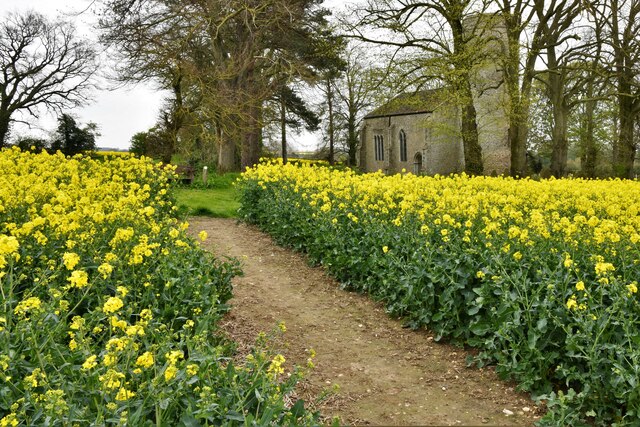
The area is primarily characterized by its dense woodland, comprising a mix of broadleaf and coniferous trees. The trees provide a haven for various wildlife species, including deer, rabbits, and a variety of bird species. This makes Round Wood a popular destination for nature enthusiasts, birdwatchers, and photographers.
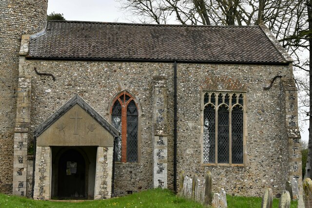
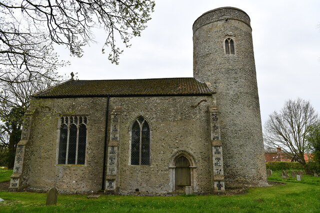
The village itself is small and charming, with a close-knit community that takes pride in its natural surroundings. It has a few residential properties, some of which are traditional thatched-roof cottages that exude a quaint and rustic charm. The village also features a small church, which serves as a focal point for community gatherings and events.
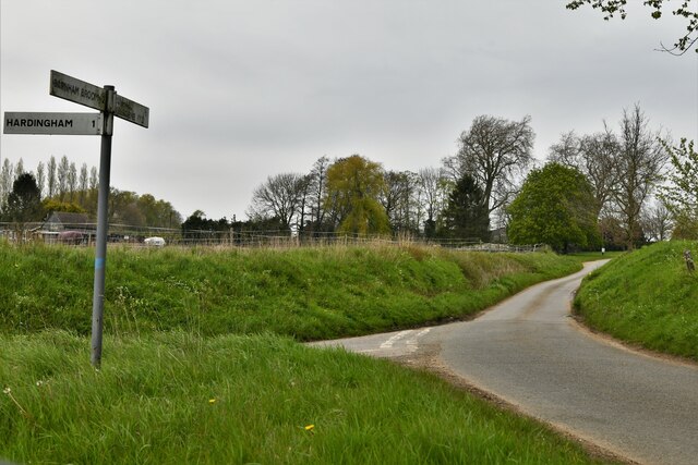
Round Wood is a haven for outdoor activities, with numerous walking and cycling trails crisscrossing the surrounding forest. These trails provide opportunities for visitors to explore the area's natural beauty and enjoy peaceful strolls or energetic bike rides. Additionally, the village is home to a number of picnic spots, allowing visitors to relax and enjoy the serenity of the forest.
Overall, Round Wood in Norfolk is an idyllic village that offers a peaceful retreat in the heart of nature. With its picturesque woodlands, charming residential properties, and a strong sense of community, it is a hidden gem for those seeking a tranquil and natural escape.
If you have any feedback on the listing, please let us know in the comments section below.
Round Wood Images
Images are sourced within 2km of 52.622077/1.0099684 or Grid Reference TG0306. Thanks to Geograph Open Source API. All images are credited.


Round Wood is located at Grid Ref: TG0306 (Lat: 52.622077, Lng: 1.0099684)
Administrative County: Norfolk
District: Breckland
Police Authority: Norfolk
What 3 Words
///began.scale.chromatic. Near Mattishall, Norfolk
Nearby Locations
Related Wikis

Wymondham to Wells Branch
The Wymondham to Wells Branch was a railway built in stages by the Norfolk Railway, Eastern Counties Railway and Wells and Fakenham Company between 1847...

Mid-Norfolk Railway
The Mid-Norfolk Railway (MNR) is a 17+1⁄2 miles (28.2 km) preserved standard gauge heritage railway, one of the longest in Great Britain. Preservation...

Thuxton railway station
Thuxton is a railway station in the village of Thuxton in the English county of Norfolk. The station is served by heritage services operated by the Mid...

Thuxton
Thuxton is a small village and former civil parish, now in the parish of Garvestone, Reymerston and Thuxton, in the Breckland district, in the county of...
Related Videos
Coston Day Ticket lake - best place in Norfolk.
Coston day ticket lake one of the best place in Norfolk. Vsist them on Facebook for more details.
Nearby Amenities
Located within 500m of 52.622077,1.0099684Have you been to Round Wood?
Leave your review of Round Wood below (or comments, questions and feedback).