Black Plantation
Wood, Forest in Suffolk Mid Suffolk
England
Black Plantation
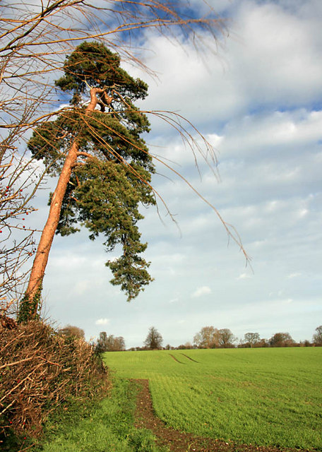
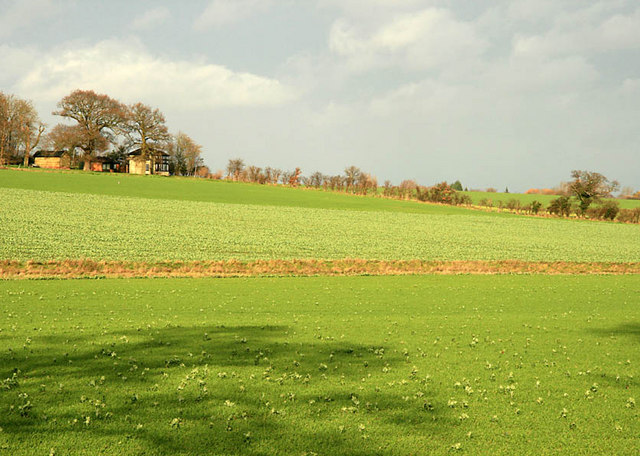
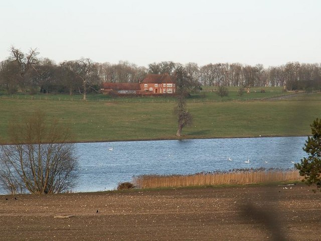
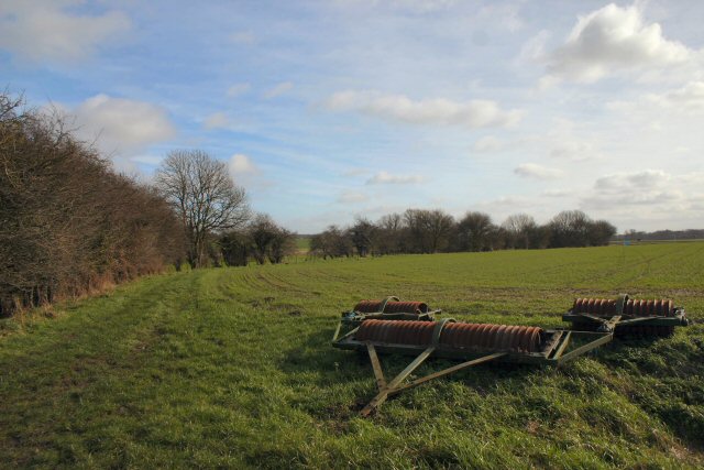
Black Plantation is a woodland located in Suffolk, England. Situated within the larger area of Woodbridge, the plantation covers an expansive area, characterized by dense and lush forest. The plantation is known for its stunning natural beauty, with towering trees and a rich variety of flora and fauna.
The woodland is home to a diverse range of tree species, including oak, beech, and silver birch, which contribute to the overall grandeur of the plantation. The dense canopy of leaves provides a serene and tranquil atmosphere, making it a popular destination for nature enthusiasts and hikers.
Black Plantation offers a range of activities for visitors to enjoy. There are well-maintained walking trails that wind through the woodland, allowing visitors to explore and immerse themselves in the natural surroundings. These trails are suitable for both casual strollers and more experienced hikers.
Wildlife is abundant within the plantation, and visitors may catch a glimpse of various bird species, such as woodpeckers and owls, as well as small mammals like squirrels and rabbits. The plantation is also home to a rich variety of plant life, including wildflowers and ferns, adding to the overall biodiversity of the area.
The management of Black Plantation is committed to maintaining the ecological balance and preserving the natural beauty of the woodland. Regular conservation efforts, such as tree planting initiatives and wildlife preservation projects, are undertaken to ensure the sustainability of this natural habitat.
Overall, Black Plantation offers a picturesque and peaceful experience for those seeking to connect with nature and appreciate the beauty of Suffolk's woodlands.
If you have any feedback on the listing, please let us know in the comments section below.
Black Plantation Images
Images are sourced within 2km of 52.349181/0.98975333 or Grid Reference TM0376. Thanks to Geograph Open Source API. All images are credited.


Black Plantation is located at Grid Ref: TM0376 (Lat: 52.349181, Lng: 0.98975333)
Administrative County: Suffolk
District: Mid Suffolk
Police Authority: Suffolk
What 3 Words
///flushed.household.handrail. Near Botesdale, Suffolk
Nearby Locations
Related Wikis

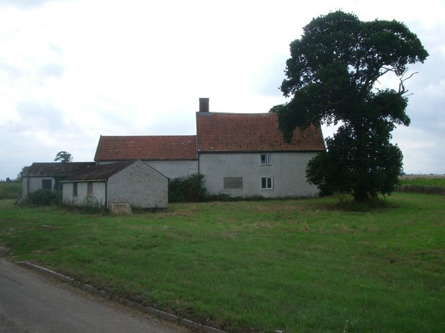
Hinderclay
Hinderclay is a village and civil parish in the Mid Suffolk district of Suffolk in eastern England. The village is located around 14 miles (23 km) - from...

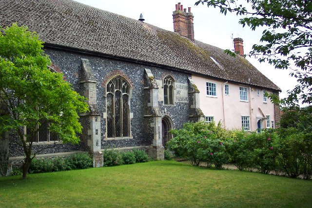
St Botolph's Chapel, Botesdale
St Botolph's Chapel is located in Botesdale, Suffolk. Built as a chapel of ease for the parish church of St Mary's Church, Redgrave, it now serves as the...
Redgrave, Suffolk
Redgrave is a village and civil parish in Suffolk, England, just south of the River Waveney that here forms the county boundary with Norfolk. The village...
Rickinghall
Rickinghall is a village in the Mid Suffolk district of Suffolk, England. The village is split between two parishes, Rickinghall Inferior and Rickinghall...
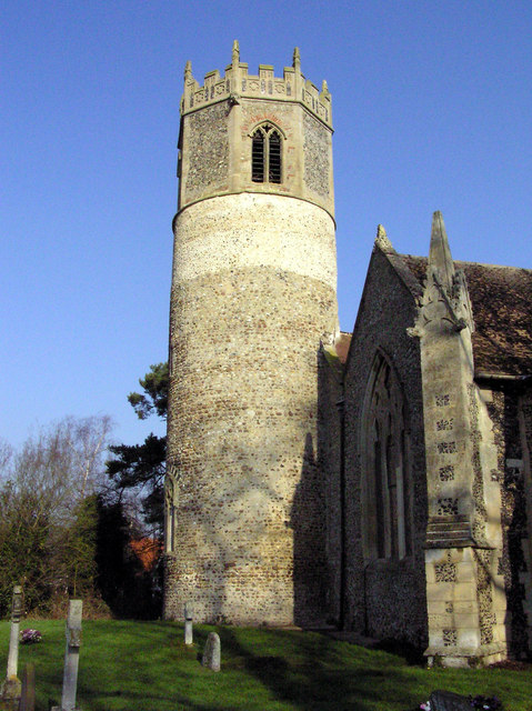
St Mary's Church, Rickinghall Superior
St Mary's Church is a redundant Anglican church in the civil parish of Rickinghall Superior, in the village of Rickinghall, Suffolk, England. It is recorded...

St Mary's Church, Redgrave
St Mary's Church is the redundant Church of England parish church of the village of Redgrave, Suffolk, England. It is a Grade I listed building. and is...

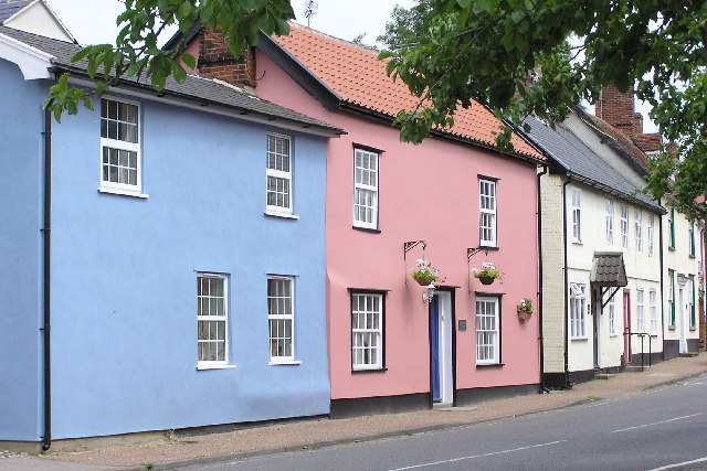
Botesdale
Botesdale is a village and civil parish in the Mid Suffolk district of the English county of Suffolk. The village is about 6 miles (10 km) south west of...

Thelnetham
Thelnetham is a village and civil parish in the West Suffolk district of Suffolk in eastern England. Located on the southern bank of the River Little Ouse...
Nearby Amenities
Located within 500m of 52.349181,0.98975333Have you been to Black Plantation?
Leave your review of Black Plantation below (or comments, questions and feedback).