Calves Wood
Wood, Forest in Suffolk Babergh
England
Calves Wood
Calves Wood is a charming woodland located in the county of Suffolk, England. Nestled in the heart of the rural countryside, this forested area covers approximately 100 acres of land. Its natural beauty and tranquil atmosphere make it a popular destination for nature lovers and outdoor enthusiasts.
The wood is primarily dominated by a mixture of broadleaf trees, including oak, birch, and beech. These towering trees create a dense canopy that provides shade and shelter for a diverse range of flora and fauna. Bluebells, primroses, and wild garlic carpet the forest floor during spring, painting a picturesque scene.
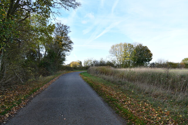
There are several well-maintained walking trails that wind their way through the wood, allowing visitors to explore its hidden corners and discover its many treasures. Along these paths, one can encounter a variety of wildlife, such as foxes, badgers, and numerous species of birds.
Calves Wood has a rich history, dating back centuries. It has been a source of timber for local communities and has witnessed the ebb and flow of human activity throughout the years. Today, it is managed by the Suffolk Wildlife Trust, which works to preserve and protect its natural habitat.
Visitors to Calves Wood can enjoy a peaceful retreat away from the hustle and bustle of modern life. Whether taking a leisurely stroll, birdwatching, or simply enjoying a picnic amidst the serenity of nature, this woodland offers a welcome escape and a chance to reconnect with the natural world.
If you have any feedback on the listing, please let us know in the comments section below.
Calves Wood Images
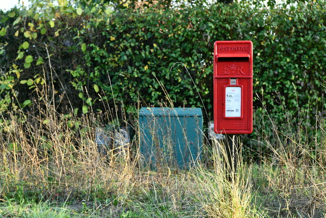
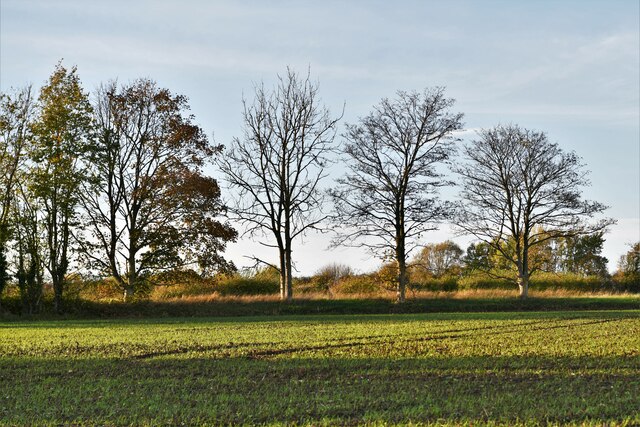
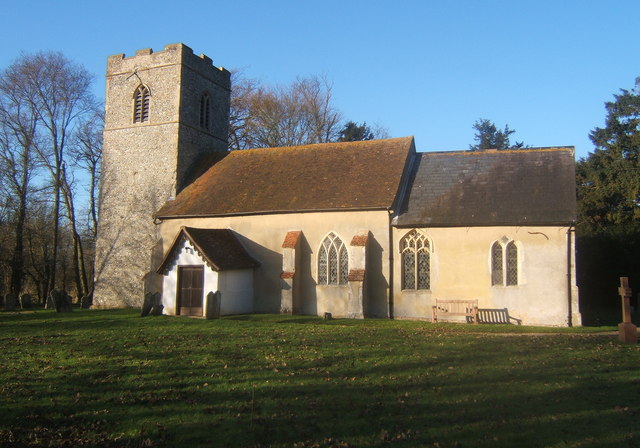
Images are sourced within 2km of 52.092721/0.9703768 or Grid Reference TM0347. Thanks to Geograph Open Source API. All images are credited.


Calves Wood is located at Grid Ref: TM0347 (Lat: 52.092721, Lng: 0.9703768)
Administrative County: Suffolk
District: Babergh
Police Authority: Suffolk
What 3 Words
///afterglow.rebounded.sheet. Near Wattisham, Suffolk
Nearby Locations
Related Wikis
Naughton, Suffolk
Naughton is a village and former civil parish, now in the civil parish of Nedging-with-Naughton, in the Babergh district, in the county of Suffolk, England...
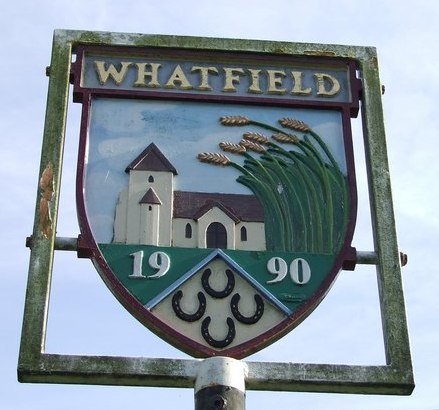
Whatfield
Whatfield is a village and civil parish in Suffolk, England. Located around 2 miles (3.2 km) north of Hadleigh, it is part of Babergh district. == Origin... ==

Nedging-with-Naughton
Nedging-with-Naughton is a civil parish in the Babergh district of the county of Suffolk, England. Located on the B1078 between Bildeston and Needham Market...
Nedging Tye
Nedging Tye is a hamlet on the B1078 road, in the civil parish of Nedging-with-Naughton, in the Babergh district, in the county of Suffolk, England. The...
Have you been to Calves Wood?
Leave your review of Calves Wood below (or comments, questions and feedback).