Wivenhoe Wood
Wood, Forest in Essex Colchester
England
Wivenhoe Wood
Located in the county of Essex, England, Wivenhoe Wood is a picturesque forest that spans approximately 40 hectares. Situated near the village of Wivenhoe, the wood is easily accessible and attracts visitors from both nearby communities and further afield.
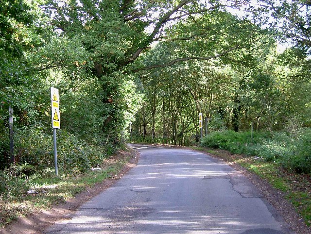
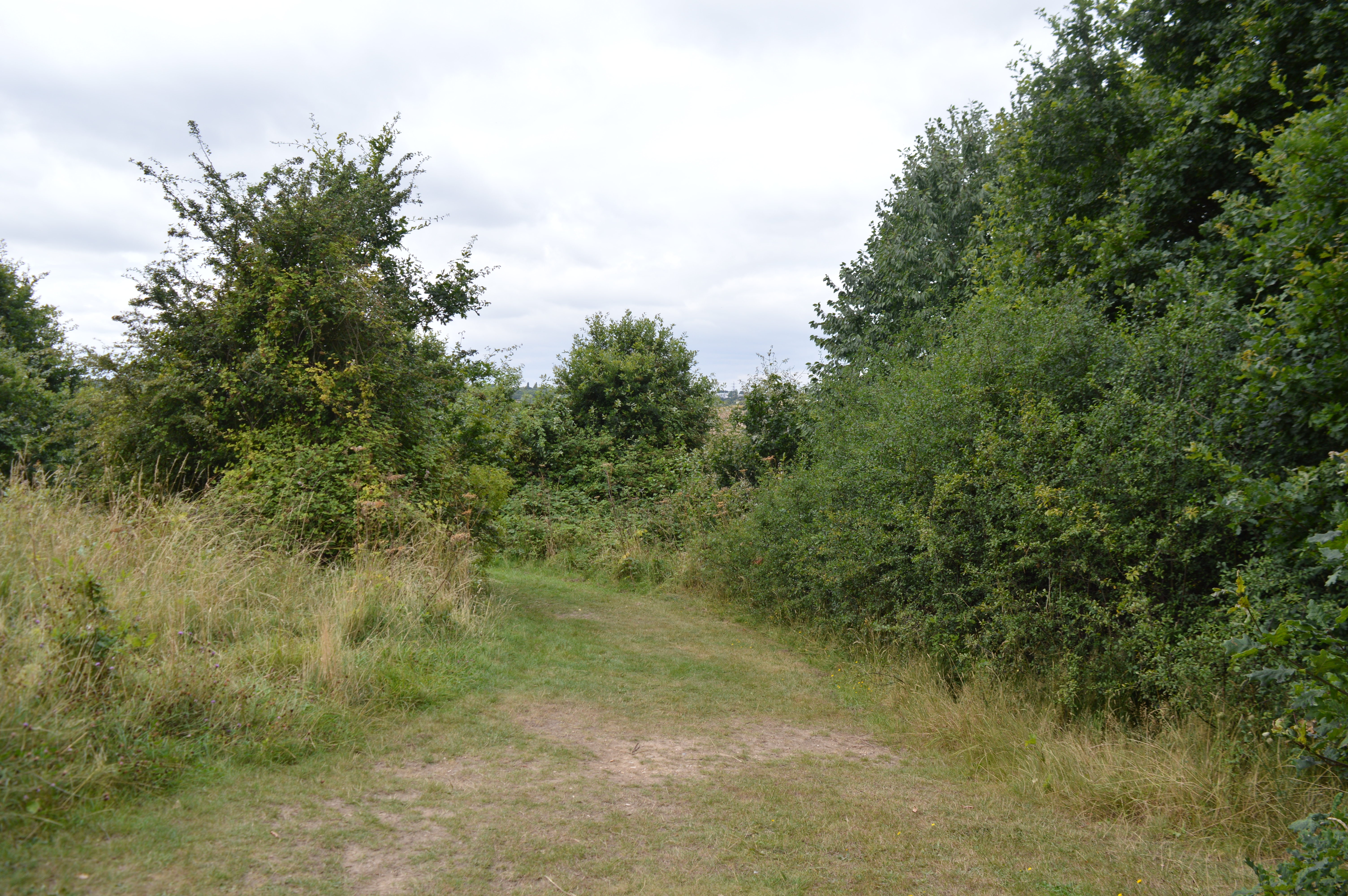
Characterized by a diverse range of tree species, Wivenhoe Wood offers a tranquil and enchanting setting for nature enthusiasts. The forest is predominantly composed of native broadleaf trees such as oak, beech, and birch, which create a dense canopy overhead. This lush vegetation provides a haven for various wildlife species, including birds, small mammals, and insects.
Wivenhoe Wood is crisscrossed by well-maintained footpaths, allowing visitors to explore its natural beauty while immersing themselves in the peaceful ambiance. These trails wind through the forest, offering glimpses of enchanting clearings, babbling brooks, and occasional wildflowers. The wood also features a small pond, which adds to its charm and supports a diverse ecosystem.
The forest is popular among walkers, joggers, and dog owners, who can enjoy the fresh air and tranquility it offers. Additionally, the wood serves as an educational resource for local schools and environmental groups, providing an opportunity to learn about woodland ecosystems and conservation.
Wivenhoe Wood is managed by the local authorities, who ensure its conservation and protection. The forest is open to the public year-round, with no admission fees. Its accessibility, natural beauty, and diverse wildlife make it a cherished destination for nature lovers and a valuable asset to the community.
If you have any feedback on the listing, please let us know in the comments section below.
Wivenhoe Wood Images
Images are sourced within 2km of 51.861799/0.95365071 or Grid Reference TM0322. Thanks to Geograph Open Source API. All images are credited.


Wivenhoe Wood is located at Grid Ref: TM0322 (Lat: 51.861799, Lng: 0.95365071)
Administrative County: Essex
District: Colchester
Police Authority: Essex
What 3 Words
///swing.twins.began. Near Wivenhoe, Essex
Nearby Locations
Related Wikis

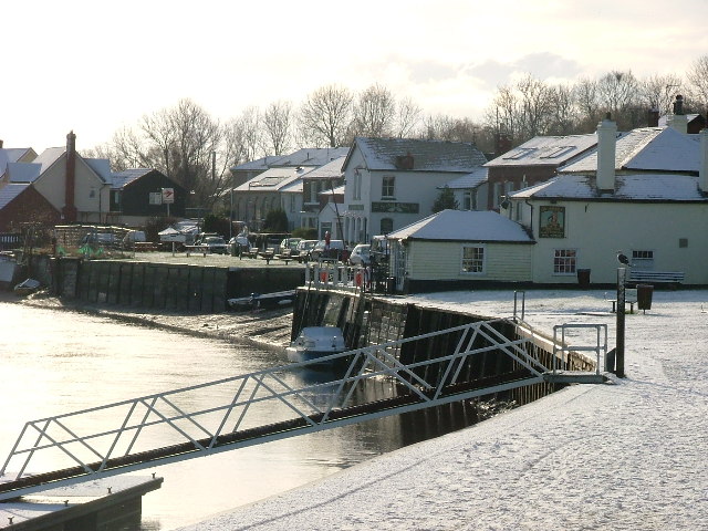
Rowhedge Ironworks
Rowhedge Ironworks was a shipyard situated on the River Colne, and in the village of Rowhedge, in the English county of Essex. It existed from 1904 to...

Wivenhoe railway station
Wivenhoe railway station is on the Sunshine Coast Line, a branch of the Great Eastern Main Line, in the East of England, serving the small town of Wivenhoe...
Colne Local Nature Reserve
Colne Local Nature Reserve is a 34.7 hectare Local Nature Reserve in Wivenhoe in Essex. It is owned and managed by Colchester Borough Council.Most of the...

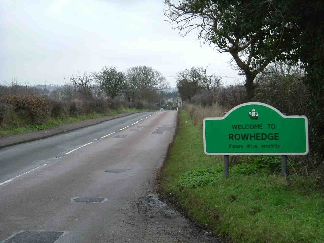
Rowhedge
Rowhedge is a village in the Colchester borough of Essex, England. It is located just over 3 miles (4.8 km) south-east of Colchester town centre and is...
Nearby Amenities
Located within 500m of 51.861799,0.95365071Have you been to Wivenhoe Wood?
Leave your review of Wivenhoe Wood below (or comments, questions and feedback).