Bawdeswell Heath
Wood, Forest in Norfolk Breckland
England
Bawdeswell Heath
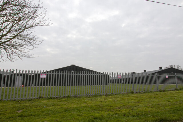
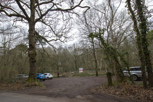
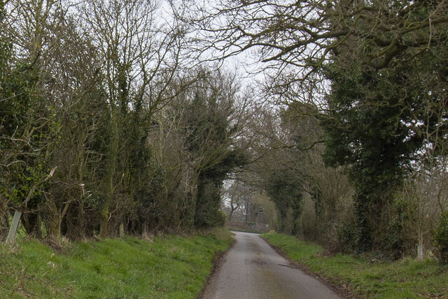
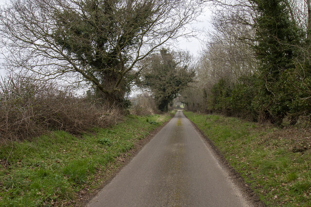
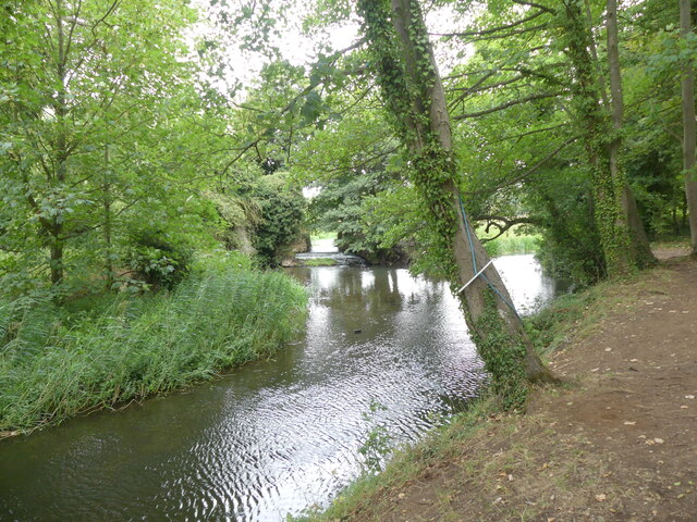
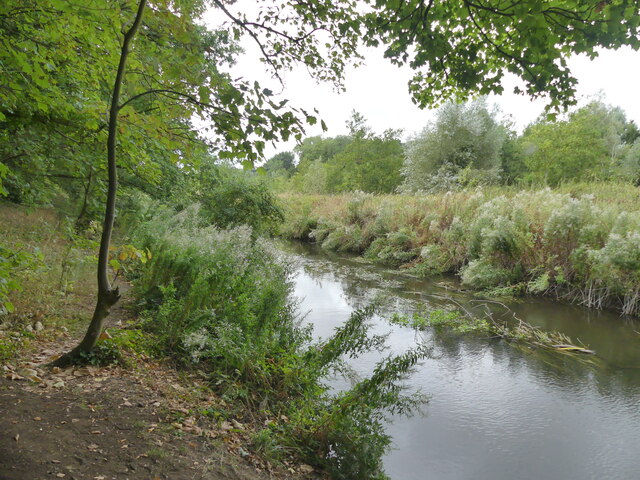
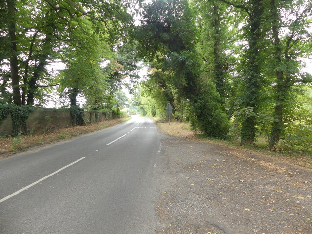
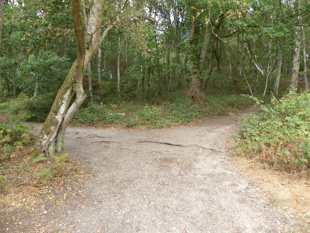
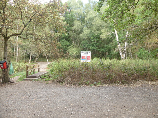
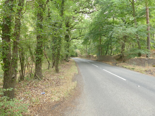
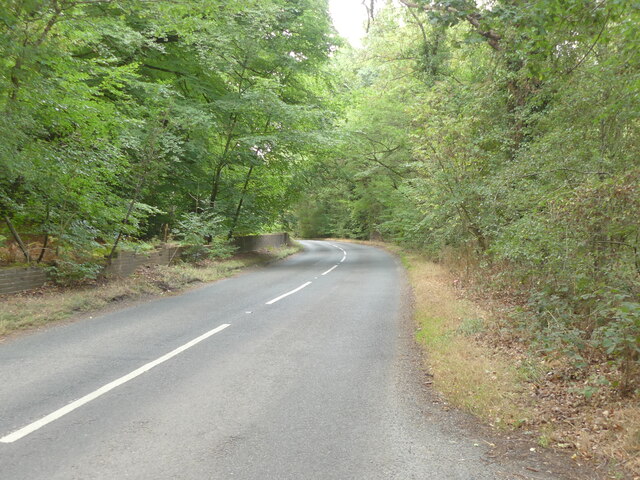
Bawdeswell Heath is a small woodland located in the county of Norfolk, England. Situated near the village of Bawdeswell, it covers an area of approximately 47 hectares and is known for its diverse range of flora and fauna. The heath is part of the larger Bawdeswell Common and is managed by the Norfolk Wildlife Trust.
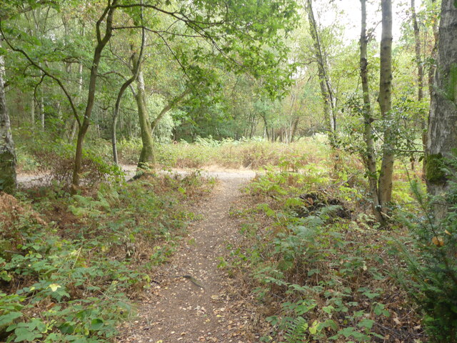
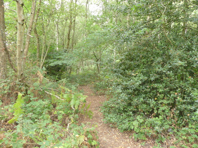
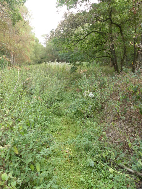
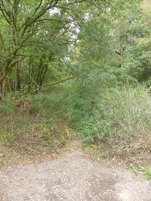
The woodland consists mainly of native broadleaf species, such as oak, birch, and beech trees, which provide a rich habitat for a variety of wildlife. The forest floor is covered in a thick carpet of mosses, ferns, and wildflowers, creating a picturesque and tranquil setting. Bluebells and primroses can be found in abundance during the spring months, adding a splash of color to the landscape.
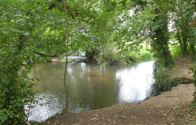
Bawdeswell Heath is home to several bird species, including woodpeckers, nuthatches, and tawny owls. The woodland also provides a habitat for mammals such as foxes, badgers, and deer. The dense vegetation and well-established trees offer shelter and nesting sites for many small creatures, making it a haven for biodiversity.
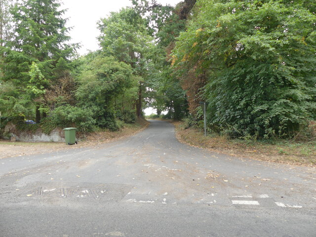
The heath is a popular spot for nature enthusiasts and walkers, who can explore the numerous footpaths and trails that wind through the woodland. It offers a peaceful and serene environment, allowing visitors to immerse themselves in the beauty of nature.
Overall, Bawdeswell Heath is a charming woodland in Norfolk, offering a glimpse into the natural wonders of the region.
If you have any feedback on the listing, please let us know in the comments section below.
Bawdeswell Heath Images
Images are sourced within 2km of 52.739193/1.0117247 or Grid Reference TG0319. Thanks to Geograph Open Source API. All images are credited.
Bawdeswell Heath is located at Grid Ref: TG0319 (Lat: 52.739193, Lng: 1.0117247)
Administrative County: Norfolk
District: Breckland
Police Authority: Norfolk
What 3 Words
///clogging.owner.rave. Near North Elmham, Norfolk
Nearby Locations
Related Wikis

B1145 road
The B1145 runs for about 52 miles (84 km) through the county of Norfolk, England, between King’s Lynn and Mundesley. The road is an alternative route to...

Bylaugh
Bylaugh is a civil parish in Norfolk, England 4.5 miles (7.2 km) north-east of East Dereham and 13.5 miles (21.7 km) WNW of Norwich. For the purposes...
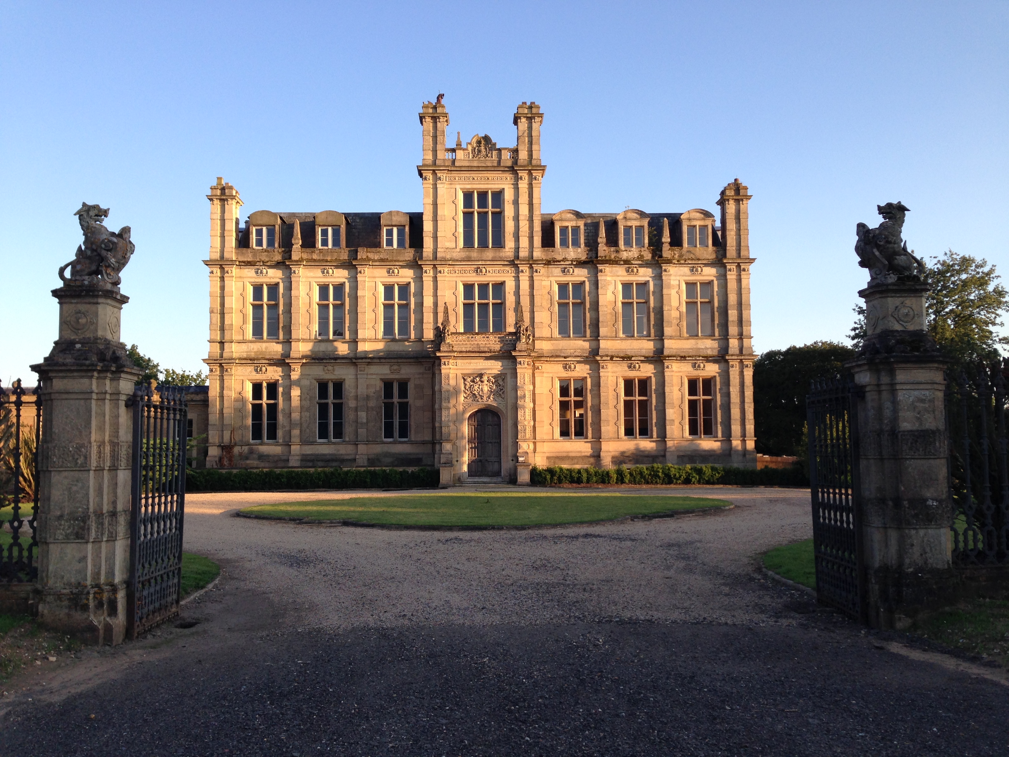
Bylaugh Hall
Bylaugh Hall, also known as Bylaugh Park, is a country house situated in the parish of Bylaugh in Norfolk, England. == History == The estate was acquired...

Beck Hall
Beck Hall, Bec Hall or Bek Hall is a grade II listed 18th-century farmhouse in Billingford, Breckland, Norfolk, England. It is believed to be on the site...
Nearby Amenities
Located within 500m of 52.739193,1.0117247Have you been to Bawdeswell Heath?
Leave your review of Bawdeswell Heath below (or comments, questions and feedback).