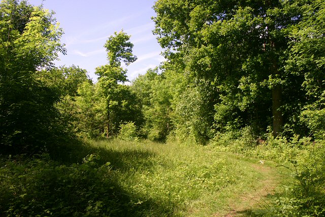
Park Wood
Wood, Forest in Suffolk Babergh
England
Park Wood
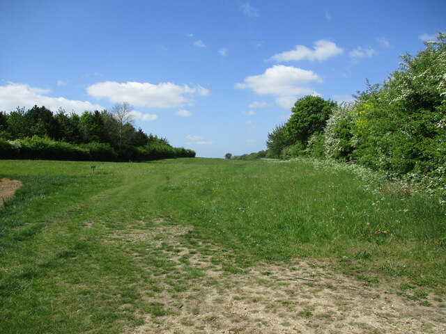
Park Wood is a picturesque woodland located in the county of Suffolk, England. Covering an area of approximately 100 acres, this forested area is renowned for its natural beauty and diverse range of flora and fauna. It is situated near the village of Park Wood, which is part of the larger town of Ipswich.
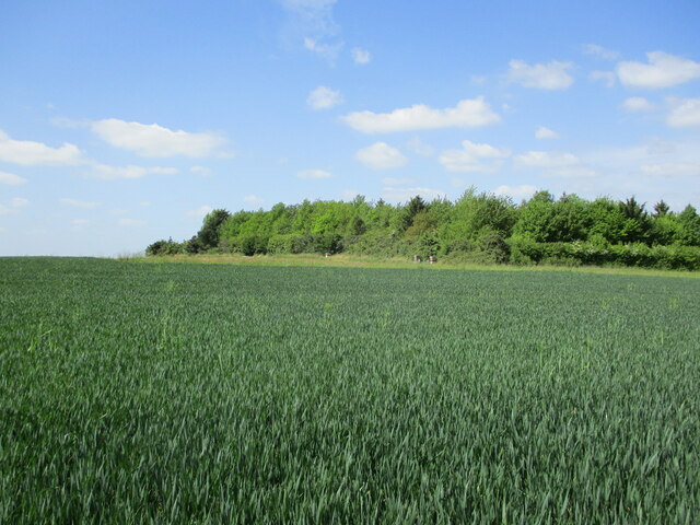
The wood is primarily composed of a mixture of broadleaf trees such as oak, beech, and birch, creating a dense and enchanting canopy that provides a haven for wildlife. The forest floor is carpeted with an array of wildflowers, ferns, and mosses, adding to the overall charm of the woodland.
Park Wood is a designated Site of Special Scientific Interest (SSSI), thanks to its rich biodiversity. It is home to numerous species of birds, including woodpeckers, nightingales, and various owls, making it a popular spot for birdwatching enthusiasts. The wood also provides a habitat for mammals such as deer, foxes, and badgers.
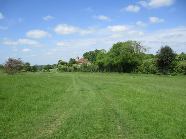
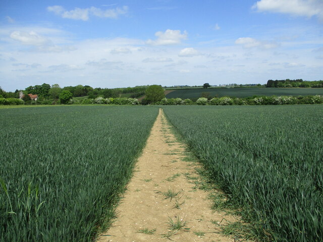
The woodland offers a number of walking trails and footpaths, allowing visitors to explore its natural wonders at their own pace. These paths meander through the trees, leading to hidden clearings, tranquil ponds, and ancient trees that have stood the test of time.
Park Wood is a beloved destination for nature lovers and provides a peaceful retreat from the hustle and bustle of everyday life. With its stunning landscape and abundant wildlife, it offers a truly immersive experience in the heart of Suffolk's natural beauty.
If you have any feedback on the listing, please let us know in the comments section below.
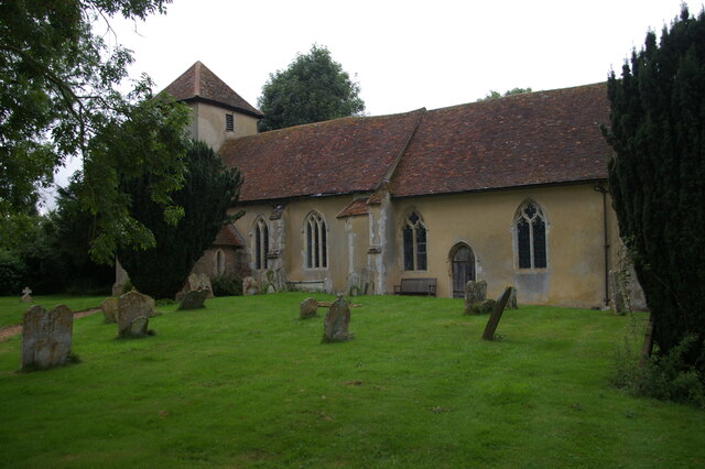
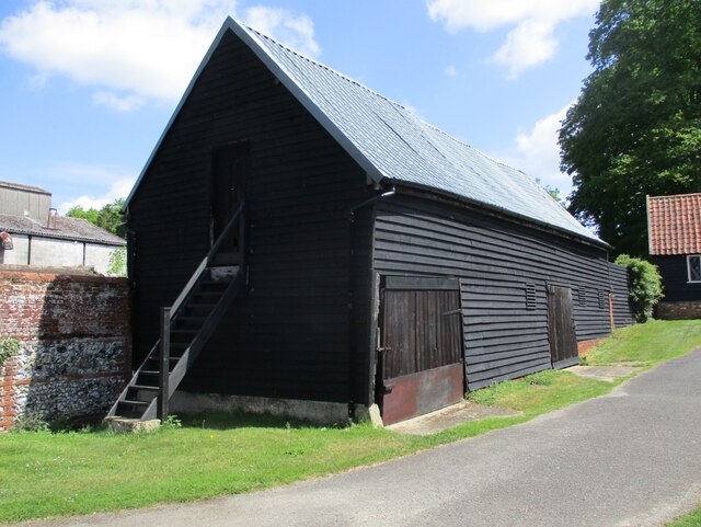
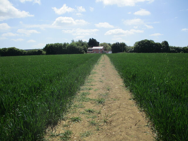
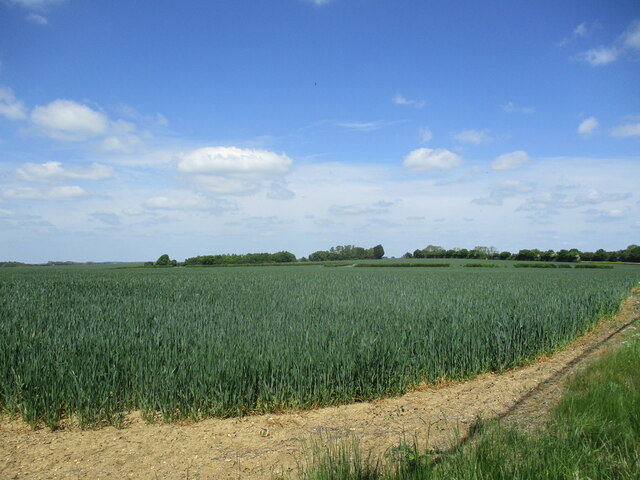
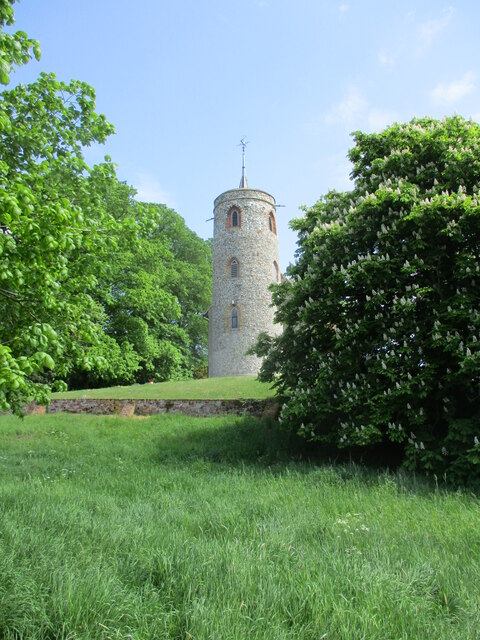
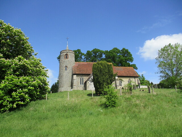
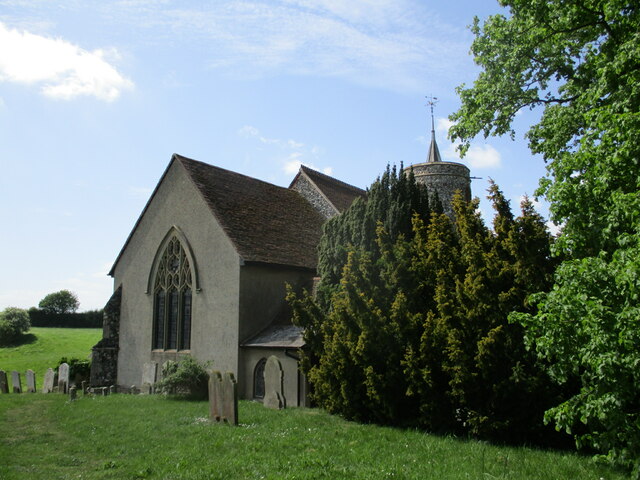
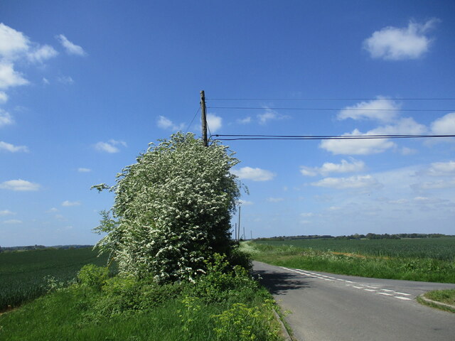
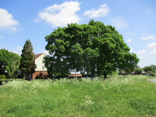
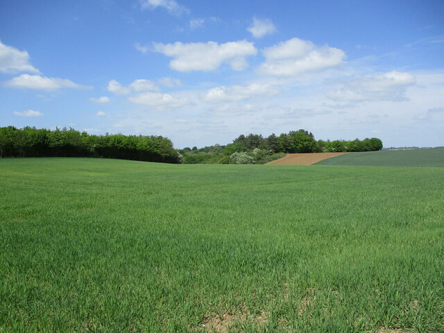
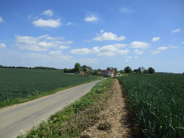
Park Wood Images
Images are sourced within 2km of 52.069517/0.96431173 or Grid Reference TM0345. Thanks to Geograph Open Source API. All images are credited.

Park Wood is located at Grid Ref: TM0345 (Lat: 52.069517, Lng: 0.96431173)
Administrative County: Suffolk
District: Babergh
Police Authority: Suffolk
What 3 Words
///outboard.mermaids.former. Near Hadleigh, Suffolk
Nearby Locations
Related Wikis

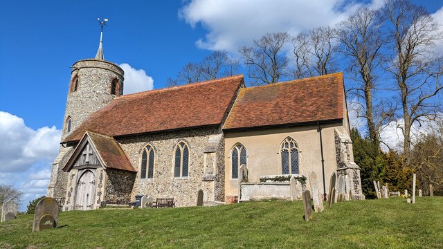
Aldham, Suffolk
Aldham is a village and civil parish in the Babergh district of Suffolk, England. Located around 8 miles (13 km) west of Ipswich, in 2005 it had a population...
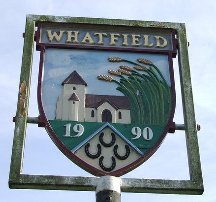
Whatfield
Whatfield is a village and civil parish in Suffolk, England. Located around 2 miles (3.2 km) north of Hadleigh, it is part of Babergh district. == Origin... ==
Wolves Wood
Wolves Wood is a woodland near Hadleigh, Suffolk. It is one of 7 ancient woodland areas within Suffolk. An ancient woodland is defined as a site that has...
Babergh District
Babergh District (pronounced , BAY-bə) is a local government district in Suffolk, England. This district is primarily a rural area, containing just two...
Related Videos

Walking off the festive food
Time to get out and walk off some festive food.

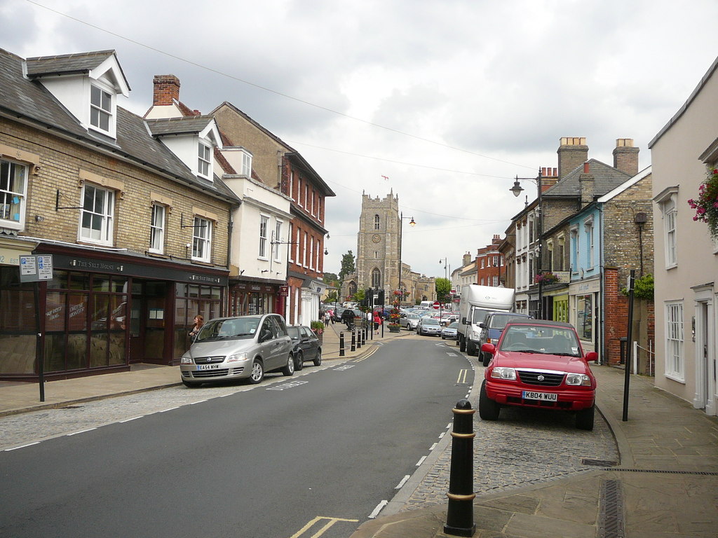
Hadleigh January 2021
Some video taken on a walk around Hadleigh including the river Brett, War Memorial & St Mary's Church.
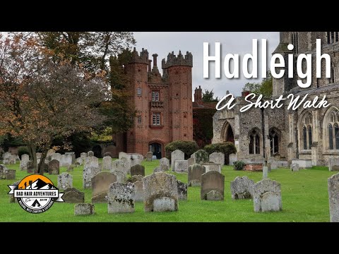
A Man with Shockingly Bad Hair takes a Short Walk around Hadleigh, Suffolk 16/10/19
We are back, so since we last posted, the dog got sick again, I crunched my ligaments in my knee(worsening an old reoccurring ...
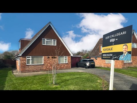
Escape to the Country property video for Croft Lodge, Hadleigh Rd, Elmsett, IP7 6ND
Escape to the Country property video for Croft Lodge, Hadleigh Rd, Elmsett, IP7 6ND. Presented by Edd Callegari - Personal ...
Nearby Amenities
Located within 500m of 52.069517,0.96431173Have you been to Park Wood?
Leave your review of Park Wood below (or comments, questions and feedback).