Bayse's Wood

Wood, Forest in Norfolk North Norfolk

England

Bayse's Wood

Belvue Farm, Briningham
Belvue Farm, Briningham Credit: Evelyn Simak

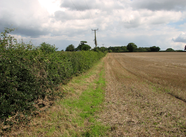
Bayse's Wood is a beautiful woodland located in the county of Norfolk, England. It covers an area of approximately 100 acres and is known for its diverse range of trees and wildlife. The wood is situated near the village of Bayse and is easily accessible for visitors.

One of the main features of Bayse's Wood is its ancient woodland status, meaning that it has been in existence for at least 400 years. This gives the wood a unique and historic feel, with many of its trees dating back several centuries. The woodland is predominantly made up of broadleaf trees such as oak, beech, and ash, creating a rich and vibrant canopy.

The wood is also home to a wide variety of wildlife, including deer, foxes, badgers, and numerous species of birds. This makes it a popular spot for nature enthusiasts and birdwatchers. The peaceful atmosphere and tranquil surroundings make Bayse's Wood a perfect place for walking, picnicking, or simply enjoying the beauty of nature.

There are several well-maintained footpaths and trails that wind through the wood, allowing visitors to explore its many hidden gems. These paths provide opportunities to discover ancient ruins, natural ponds, and stunning viewpoints.

Bayse's Wood is not only a place of natural beauty but also holds significant ecological importance. It provides a vital habitat for numerous species of plants and animals, contributing to the overall biodiversity of the region. The wood is also actively managed to preserve its unique characteristics and protect its delicate ecosystem.

Overall, Bayse's Wood is a haven for nature lovers, offering a peaceful escape from the hustle and bustle of everyday life. Its ancient woodland status, diverse range of trees, and abundance of wildlife make it a truly special place to visit in Norfolk.

If you have any feedback on the listing, please let us know in the comments section below.
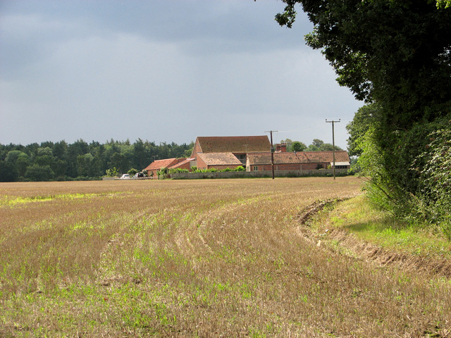
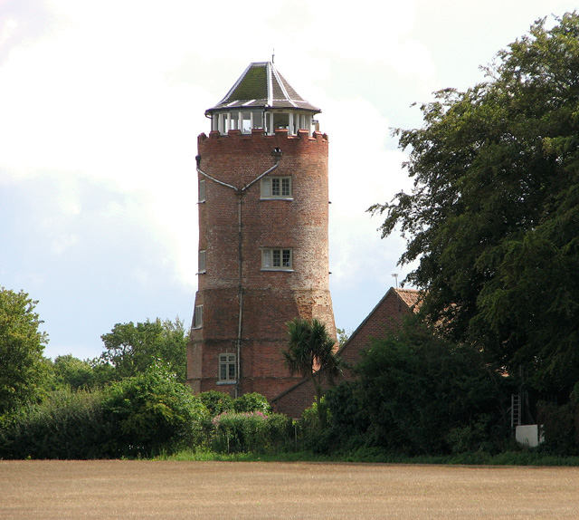
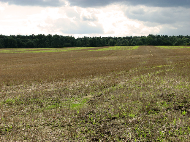
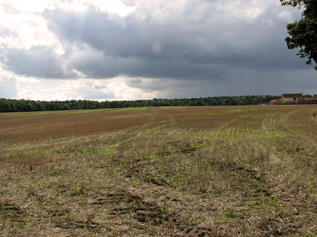
Bayse's Wood Images

Images are sourced within 2km of 52.867932/1.0163749 or Grid Reference TG0334. Thanks to Geograph Open Source API. All images are credited.

Belvue Farm, Briningham
Belvue Tower, Briningham This attractive 4-storey high brick tower is a Grade II listed building. Originally built for use as a look-out tower it was later converted into a windmill and then into a folly. The lower stage is believed to date from the 16th century. The brick refacing was carried out when the building was converted into a smock windmill by Sir Jacob Astley 1st Bart, in the 18th century. The mill was replaced by the 4th Bart in 1781 when upper floors were added to make 5 domestic storeys, the lower stages of which are octagonal and the upper circular, topped by a battlemented parapet and stack. The attic with hipped tiled roof above the parapet is C20. A house was added in the 20th century.
Belvue Tower, Briningham
This attractive 4-storey high brick tower is a Grade II listed building. Originally built for use as a look-out tower it was later converted into a windmill and then into a folly. The lower stage is believed to date from the 16th century. The brick refacing was carried out when the building was converted into a smock windmill by Sir Jacob Astley 1st Bart, in the 18th century. The mill was replaced by the 4th Bart in 1781 when upper floors were added to make 5 domestic storeys, the lower stages of which are octagonal and the upper circular, topped by a battlemented parapet and stack. The attic with hipped tiled roof above the parapet is C20. A house was added in the 20th century.
Belvue Plantation, Briningham Viewed across harvested field west of Belvue Farm.
Belvue Plantation, Briningham
Viewed across harvested field west of Belvue Farm.
The harvest is in Just as well, as thundery clouds threaten to bring rain anytime soon. The woodland seen in the background is Old Limekiln Plantation, to the south of the B1354 road. Belvue Farm can be seen at right.
The harvest is in
Just as well, as thundery clouds threaten to bring rain anytime soon. The woodland seen in the background is Old Limekiln Plantation, to the south of the B1354 road. Belvue Farm can be seen at right.
Belvue Plantation and Belvue Tower, Briningham For a more detailed view of and information about the Grade II listed tower see > <a title="https://www.geograph.org.uk/photo/2576340" href="https://www.geograph.org.uk/photo/2576340">Link</a>.
Belvue Plantation and Belvue Tower, Briningham
For a more detailed view of and information about the Grade II listed tower see > Link.
Field boundary north of Mill Lane, Briningham
Harvested field north of Mill Lane, Briningham
Hawthorn hedge beside Mill Lane, Briningham
Mill Lane, Briningham
Melton Street, Melton Constable Wholly untypical of rural Norfolk, Melton Constable has the ambiance of a northern industrial town, a product of the railway age, which in fact it was. The houses here were built in 1882 for workers at the new railway works and major junction close by. The works closed down in the 1930s and the last train ran in the 1960s but the old streets have remained.
Melton Street, Melton Constable
Wholly untypical of rural Norfolk, Melton Constable has the ambiance of a northern industrial town, a product of the railway age, which in fact it was. The houses here were built in 1882 for workers at the new railway works and major junction close by. The works closed down in the 1930s and the last train ran in the 1960s but the old streets have remained.
Melton Constable village sign The village sign at Melton Constable reflects the railway history, although no trains have run here for nearly half a century.
Melton Constable village sign
The village sign at Melton Constable reflects the railway history, although no trains have run here for nearly half a century.
Entering Melton Constable Looking along the B1354 Briston Road into the village. The bus shelter opposite incorporates some features salvaged from the long-closed station, at one time one of the most important in Norfolk.
Entering Melton Constable
Looking along the B1354 Briston Road into the village. The bus shelter opposite incorporates some features salvaged from the long-closed station, at one time one of the most important in Norfolk.
Water tower, Melton Constable This impressive cast iron water tower was originally built in 1898 to supply water to the railway works and to the village. It remains as a monument to the railway age and Melton Constable's heritage but now stores water for irrigation purposes.
Water tower, Melton Constable
This impressive cast iron water tower was originally built in 1898 to supply water to the railway works and to the village. It remains as a monument to the railway age and Melton Constable's heritage but now stores water for irrigation purposes.
Village green, Gunthorpe
Northern edge of Gunthorpe Village street of traditional houses.
Northern edge of Gunthorpe
Village street of traditional houses.
Brinton village sign Colourful village name signs are a common sight in Norfolk.
Brinton village sign
Colourful village name signs are a common sight in Norfolk.
Houses in Brinton On the edge of the tiny village green.
Houses in Brinton
On the edge of the tiny village green.
Entering Melton Constable, near site of former railway station, 1997 View eastward on B1354 Briston Road. The important key Station and Works of the former Midland & Great Northern Joint Railway had been just off to the right. However, as early as 2/3/59 almost all of the M&GN system had been closed, although the line from Sheringham survived for passengers until 6/4/64, for goods until 28/12/64. Virtually no trace remains of the latter-day Railways at Melton Constable in modern times.
Entering Melton Constable, near site of former railway station, 1997
View eastward on B1354 Briston Road. The important key Station and Works of the former Midland & Great Northern Joint Railway had been just off to the right. However, as early as 2/3/59 almost all of the M&GN system had been closed, although the line from Sheringham survived for passengers until 6/4/64, for goods until 28/12/64. Virtually no trace remains of the latter-day Railways at Melton Constable in modern times.
Show me another place!

Bayse's Wood is located at Grid Ref: TG0334 (Lat: 52.867932, Lng: 1.0163749)

Administrative County: Norfolk

District: North Norfolk

Police Authority: Norfolk

What 3 Words

///provoking.epidemics.feels. Near Briston, Norfolk

Related Wikis

Briningham

Briningham is a village and a civil parish in the English county of Norfolk. The village is 9.9 miles east north east of the town of Fakenham, 13.3 miles...
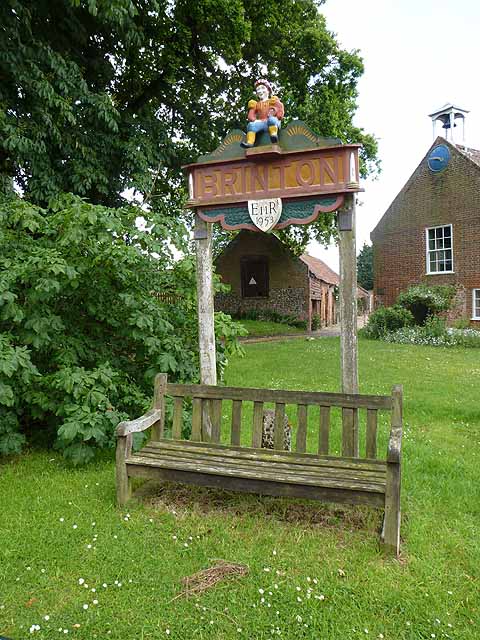
Brinton, Norfolk

Brinton is a village and a civil parish in the English county of Norfolk. The village is 10.8 miles east-north-east of the town of Fakenham, 13.1 miles...
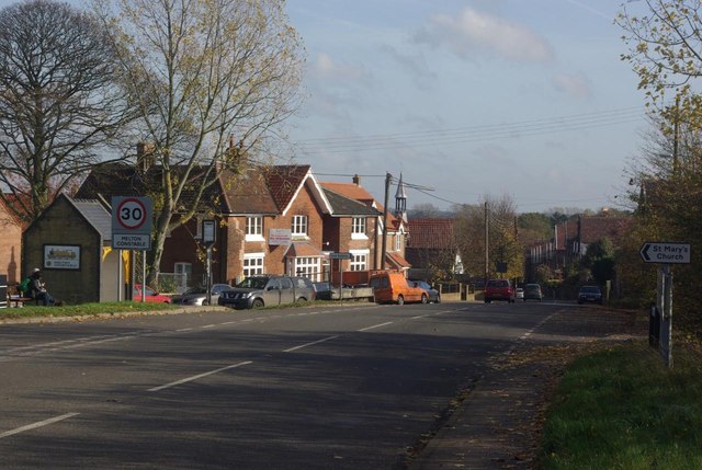
Melton Constable

Melton Constable is a village and civil parish in the English county of Norfolk. It covers an area of 6.96 km2 (2.69 sq mi) and had a population of 518...
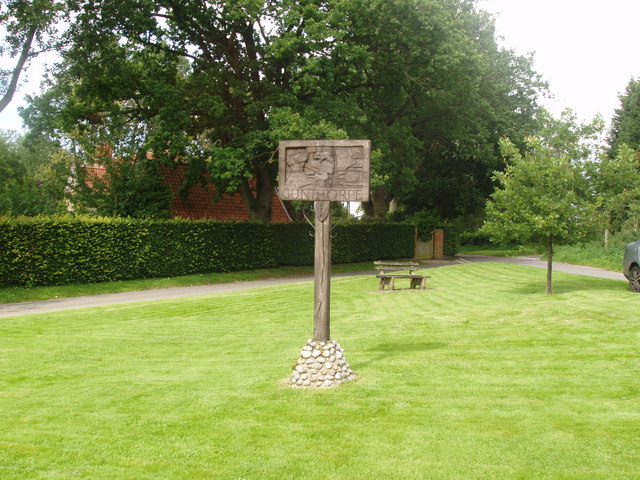
Gunthorpe, Norfolk

Gunthorpe is a village and a civil parish in the English county of Norfolk. The village is 8.6 miles east north east of the town of Fakenham, 14.9 miles...

Melton Constable railway station

Melton Constable was a railway station on the Midland and Great Northern Railway which served the North Norfolk village of Melton Constable from 1882 to...

Swanton Novers

Swanton Novers is a village and a civil parish in the English county of Norfolk. The village is 15.1 miles (24.3 km) west-south-west of Cromer, 23.1 miles...

Sharrington

Sharrington is a village and former civil parish, now in the parish of Brinton, in the North Norfolk district, in the county of Norfolk, England. The village...

Stody

Stody is a village and a civil parish in the English county of Norfolk. The village is 13.2 miles (21.2 km) west south west of Cromer, 21.8 miles (35.1...

Nearby Amenities

Located within 500m of 52.867932,1.0163749
Recycling
Recycling Paper: yes
Recycling Type: container
Lat/Long: 52.8683471/1.022357
The data included in this document is from www.openstreetmap.org. The data is made available under ODbL.

Have you been to Bayse's Wood?

Leave your review of Bayse's Wood below (or comments, questions and feedback).