Grimps Grove

Wood, Forest in Essex Colchester

England

Grimps Grove

Dereliction on the Mersea Rd The house in the background located on  the B1025 has been empty since at least the mid 1960’s. The signpost indicates why TM01 is going to be difficult to complete, several square kilometres are covered by the  Fingringhoe army ranges that are closed to the public.
Dereliction on the Mersea Rd Credit: Glyn Baker

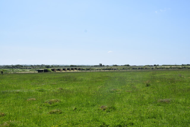
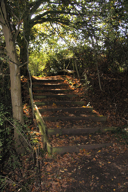
Grimps Grove is a picturesque woodland located in the charming county of Essex, England. Nestled in the heart of the region, this enchanting forest covers an area of approximately 100 acres, providing a serene and tranquil escape from the bustling city life.

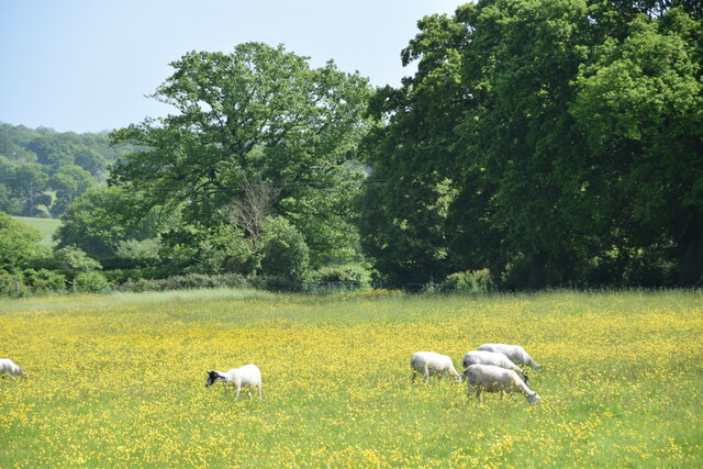
The grove is predominantly composed of ancient oak and beech trees, which form a dense canopy overhead, creating a cool and shaded atmosphere. The forest floor is adorned with a vibrant tapestry of wildflowers, ferns, and mosses, adding to the magical ambiance of the area. Grimps Grove is also home to a diverse range of wildlife, including deer, squirrels, foxes, and a plethora of bird species, making it a favorite spot for nature enthusiasts and birdwatchers.

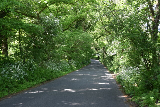
Traversing the grove is made easy by a network of well-maintained footpaths and trails, allowing visitors to explore the beauty of the woodland at their own pace. The paths wind their way through the trees, offering breathtaking views of the surrounding landscape and providing opportunities for peaceful walks and hikes.

Grimps Grove is a popular destination for families, couples, and individuals seeking a tranquil retreat amidst nature. The area offers various recreational activities, such as picnicking, photography, and nature walks, making it an ideal spot for a day trip or a weekend getaway. With its idyllic setting, diverse wildlife, and well-preserved natural beauty, Grimps Grove is a must-visit destination for nature lovers and those seeking solace in the embrace of the great outdoors.

If you have any feedback on the listing, please let us know in the comments section below.
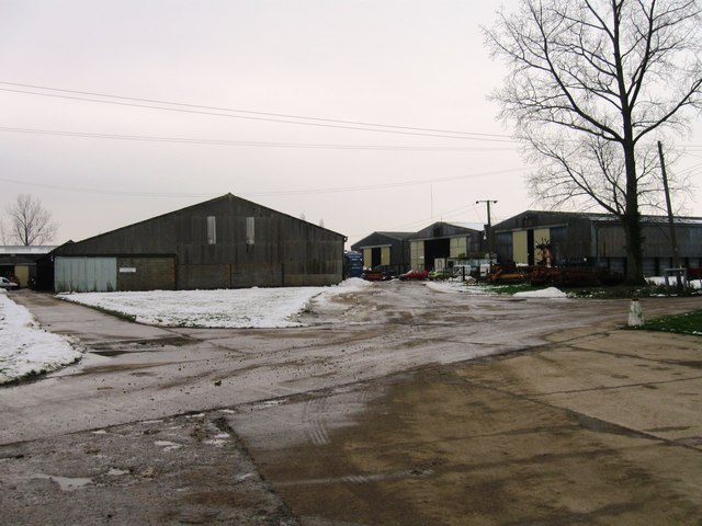
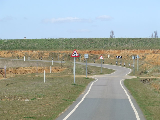
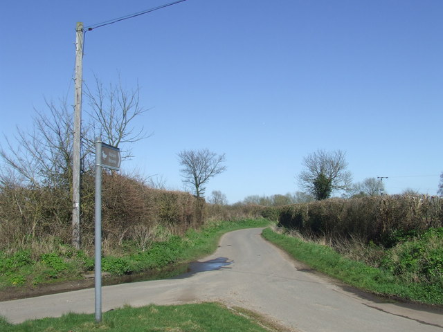
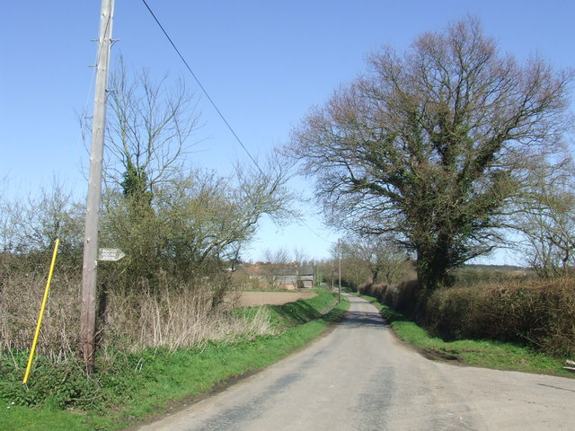
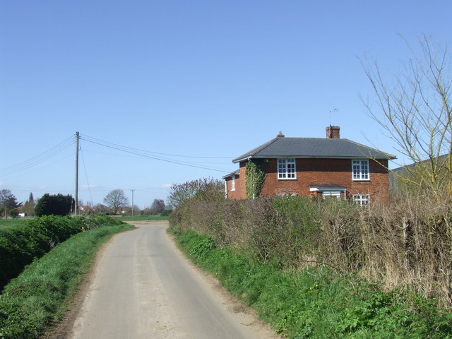
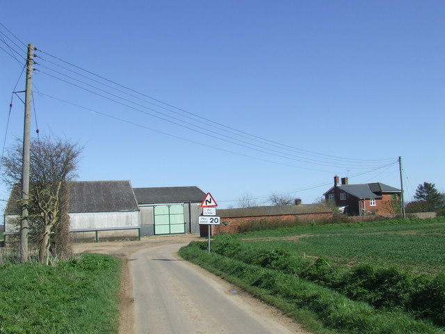
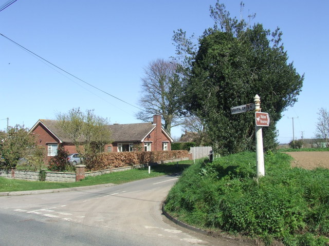
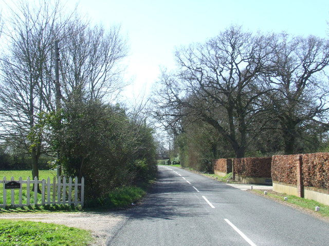
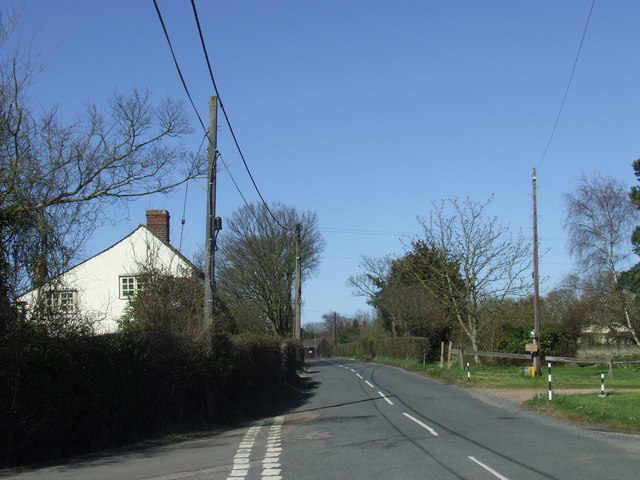
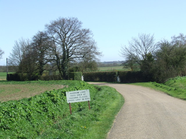
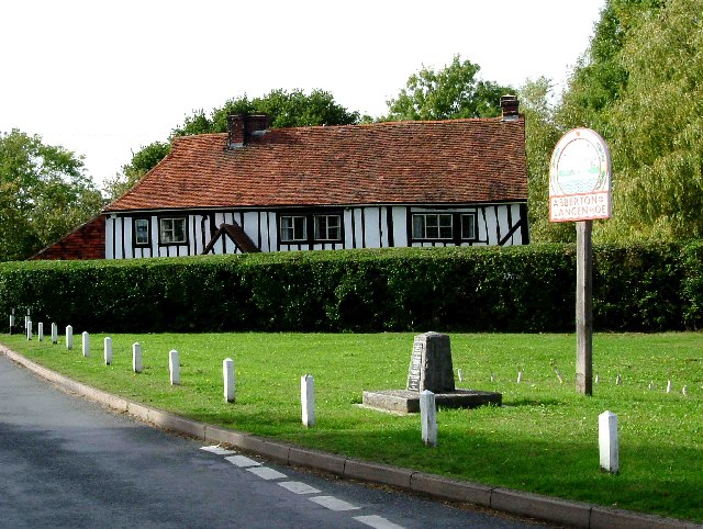
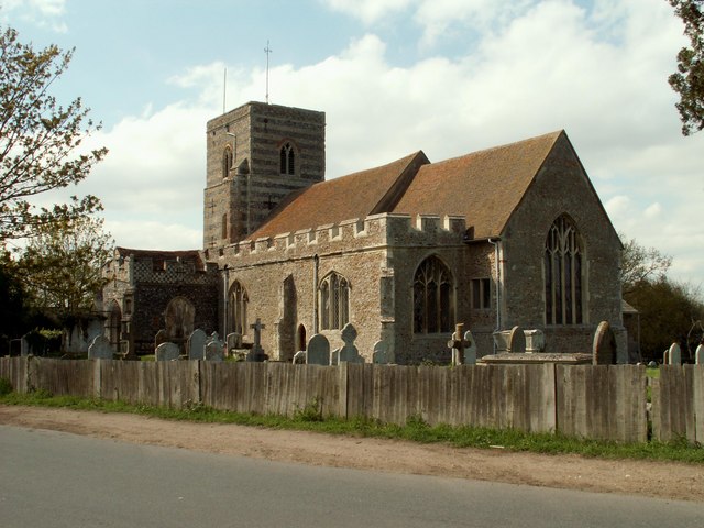
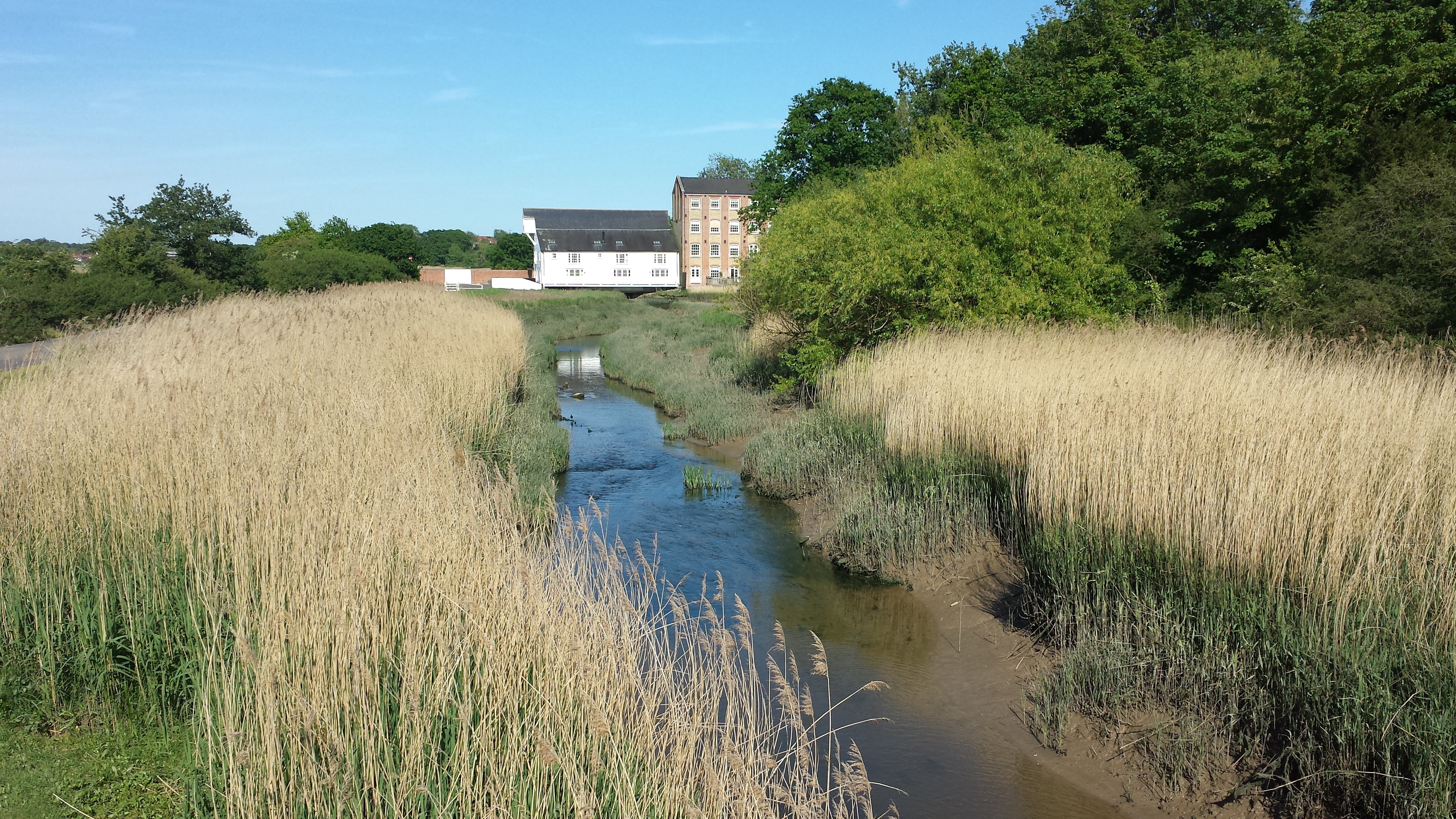
Grimps Grove Images

Images are sourced within 2km of 51.829083/0.93340788 or Grid Reference TM0218. Thanks to Geograph Open Source API. All images are credited.

Dereliction on the Mersea Rd The house in the background located on  the B1025 has been empty since at least the mid 1960’s. The signpost indicates why TM01 is going to be difficult to complete, several square kilometres are covered by the  Fingringhoe army ranges that are closed to the public.
Dereliction on the Mersea Rd
The house in the background located on the B1025 has been empty since at least the mid 1960’s. The signpost indicates why TM01 is going to be difficult to complete, several square kilometres are covered by the Fingringhoe army ranges that are closed to the public.
Fingringhoe marsh & ranges
Cereal crop A short distance south of Tudhoe Farm.
Cereal crop
A short distance south of Tudhoe Farm.
Sheep pasture on Fingrinhoe Ranges I am on the public footpath which skirts the norther edge of the military firing ranges. The path can only be walked when the red flags are not flying. Just in front of me is a large field mushroom.
Sheep pasture on Fingrinhoe Ranges
I am on the public footpath which skirts the norther edge of the military firing ranges. The path can only be walked when the red flags are not flying. Just in front of me is a large field mushroom.
Fingrinhoe Ranges Some of the training infrastructure on this military rifle range. Taken just south of South House Farm, from the public footpath which skirts part of the northern edge of the ranges. The footpath can only be walked when the red flags are not flying.
Fingrinhoe Ranges
Some of the training infrastructure on this military rifle range. Taken just south of South House Farm, from the public footpath which skirts part of the northern edge of the ranges. The footpath can only be walked when the red flags are not flying.
Sheep and buttercups Sheep grazing in a field by Haye Lane.
Sheep and buttercups
Sheep grazing in a field by Haye Lane.
Crossroad in Abberton Taken from Layer Road, with Mersea Road crossing and looking towards Fingrinhoe Road.
Crossroad in Abberton
Taken from Layer Road, with Mersea Road crossing and looking towards Fingrinhoe Road.
Haye Lane, Abberton A lane north of the village of Abberton.
Haye Lane, Abberton
A lane north of the village of Abberton.
Farm buildings, Langenhoe
Furneaux Lane near Fingringhoe Furneaux Lane passes through a sand and gravel pit.  Looking at the map, it appears that the road has recently been rerouted.  This image shows a new section of the road.
Furneaux Lane near Fingringhoe
Furneaux Lane passes through a sand and gravel pit. Looking at the map, it appears that the road has recently been rerouted. This image shows a new section of the road.
Country lane near Fingringhoe, Essex The signpost points to a nature reserve at the far end of this country lane.
Country lane near Fingringhoe, Essex
The signpost points to a nature reserve at the far end of this country lane.
South Green Road near Fingringhoe, Essex South Green Road is a quiet lane in a rural part of Essex.
South Green Road near Fingringhoe, Essex
South Green Road is a quiet lane in a rural part of Essex.
South Green Road near Fingringhoe, Essex South Green Road is a lane on a rural part of Essex.  Here it passes a farmhouse.
South Green Road near Fingringhoe, Essex
South Green Road is a lane on a rural part of Essex. Here it passes a farmhouse.
Plane Hall Farm near Fingringhoe, Essex Plane Hall Farm is in a rural part of Essex.
Plane Hall Farm near Fingringhoe, Essex
Plane Hall Farm is in a rural part of Essex.
South Green Road, near Fingringhoe
Abberton Road near Abberton, Essex
Lodge Lane near Abberton, Essex The non-standard sign and speed limit suggest that this may be a private road.
Lodge Lane near Abberton, Essex
The non-standard sign and speed limit suggest that this may be a private road.
Show me another place!

Grimps Grove is located at Grid Ref: TM0218 (Lat: 51.829083, Lng: 0.93340788)

Administrative County: Essex

District: Colchester

Police Authority: Essex

What 3 Words

///love.thrashed.besotted. Near Rowhedge, Essex

Nearby Locations

Grimps Grove

Related Wikis

Langenhoe

Langenhoe is a village in the City of Colchester district of Essex, England, located south of Colchester. According to the 2001 census it had a population...

Abberton, Essex

Abberton is a village in the City of Colchester district of Essex, England. It is located approximately 0.62 mi (1.00 km) east of Abberton Reservoir and...
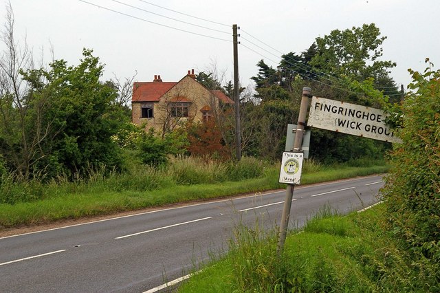
Fingringhoe

Fingringhoe is a village and civil parish in the City of Colchester district of Essex, England. The centre of the village is classified as a conservation...

1884 Colchester earthquake

The Colchester earthquake, also known as the Great English earthquake, occurred on the morning of 22 April 1884 at 09:18. It caused considerable damage...

Fingringhoe Wick

Fingringhoe Wick is a 48.6-hectare (120-acre) nature reserve in Fingringhoe in Essex. It is managed by the Essex Wildlife Trust, which runs a visitor centre...

East Donyland

East Donyland is a civil parish in the City of Colchester district of Essex, England. The civil parish includes the village of Rowhedge. The parish touches...
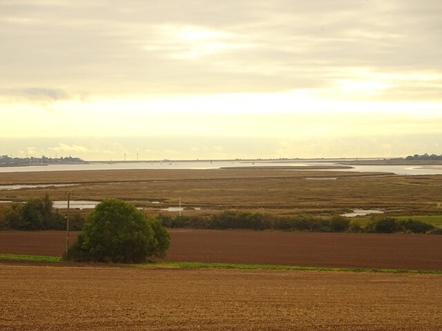
Roman River

The Roman River is a river that flows entirely through the English county of Essex. It is a tributary of the River Colne, flowing into its tidal estuary...

Rowhedge

Rowhedge is a village in the Colchester borough of Essex, England. It is located just over 3 miles (4.8 km) south-east of Colchester town centre and is...

Nearby Amenities

Located within 500m of 51.829083,0.93340788
The data included in this document is from www.openstreetmap.org. The data is made available under ODbL.

Have you been to Grimps Grove?

Leave your review of Grimps Grove below (or comments, questions and feedback).