Billingford Covert
Wood, Forest in Norfolk Breckland
England
Billingford Covert
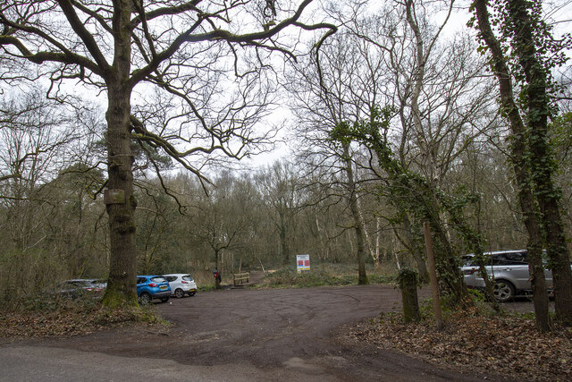
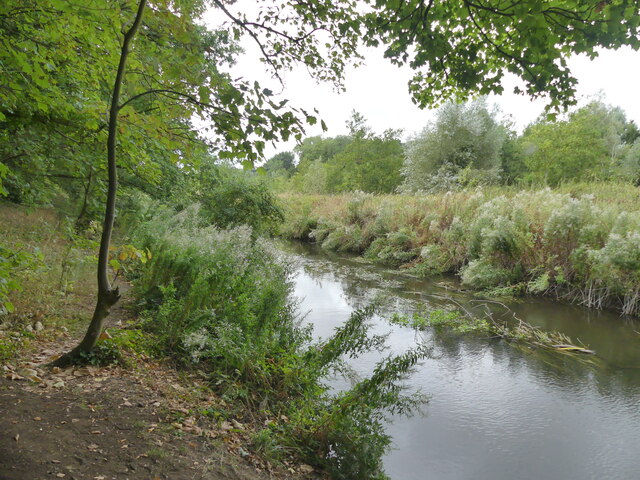
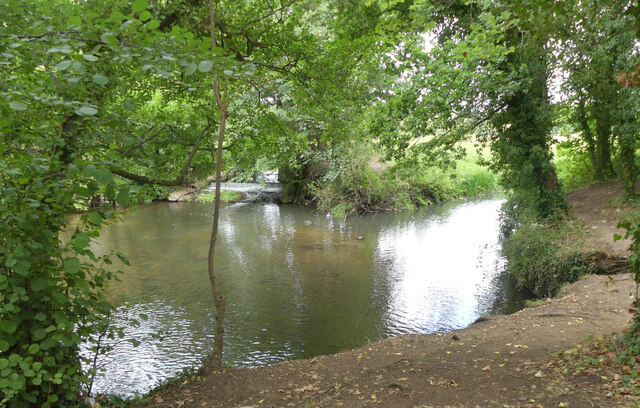
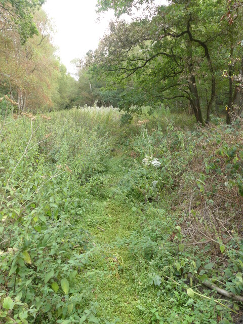
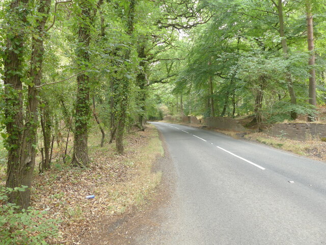
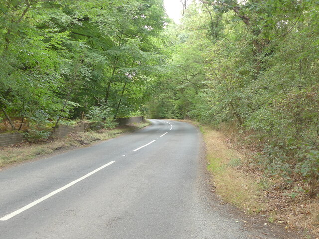
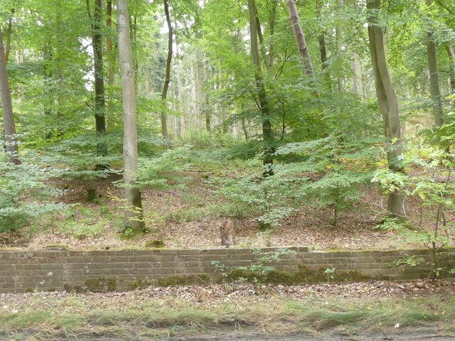
Billingford Covert is a serene woodland located in Norfolk, England. Nestled in the heart of the countryside, it covers an area of approximately 50 hectares. The covert is primarily composed of deciduous trees, including oak, ash, and beech, which create a rich and diverse canopy that stretches across the landscape.
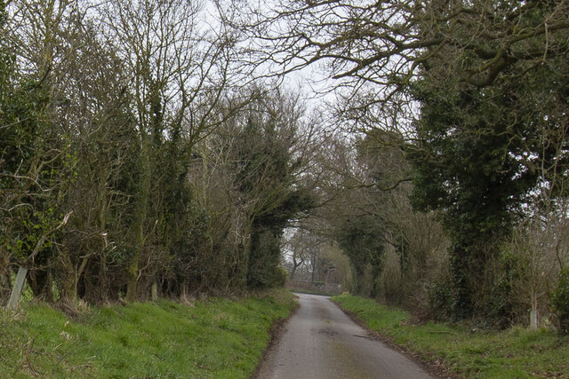
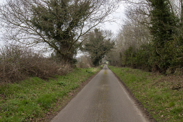
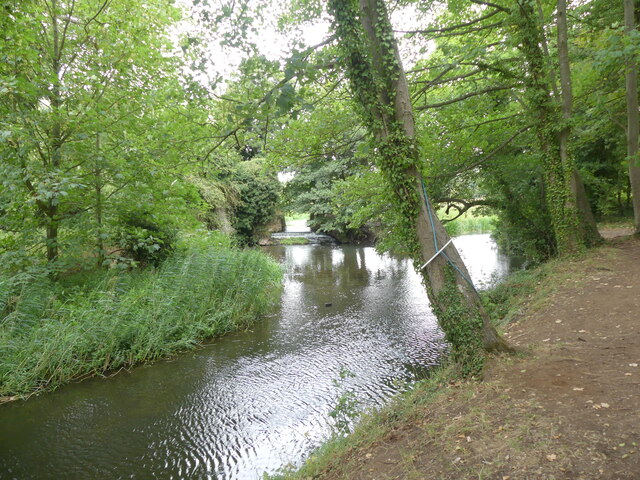
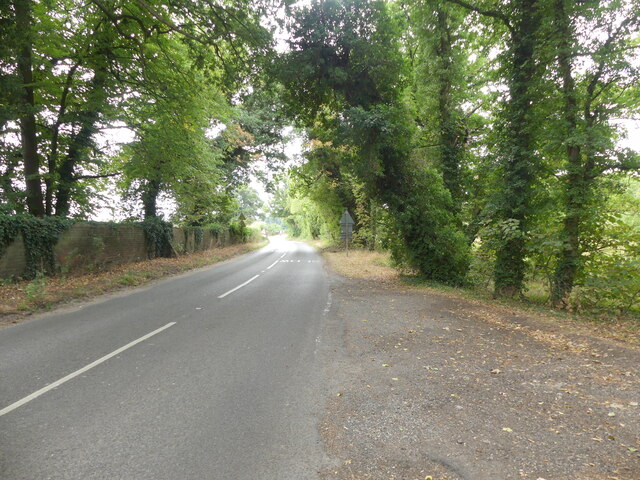
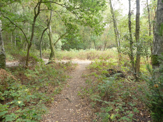
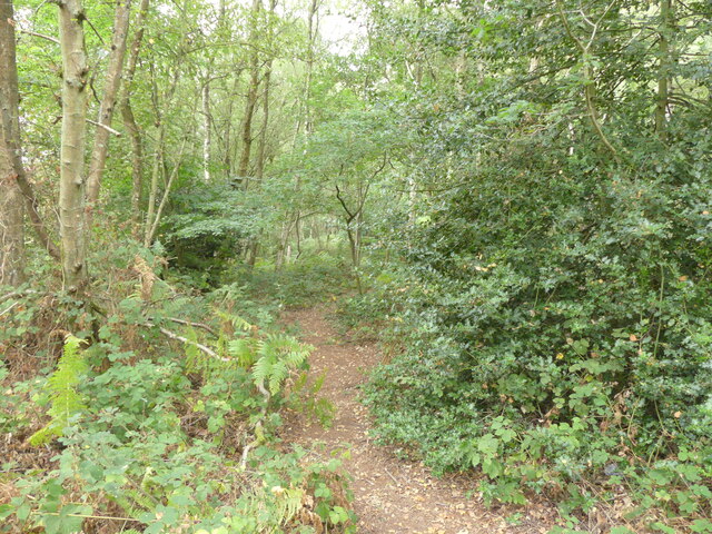
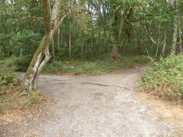
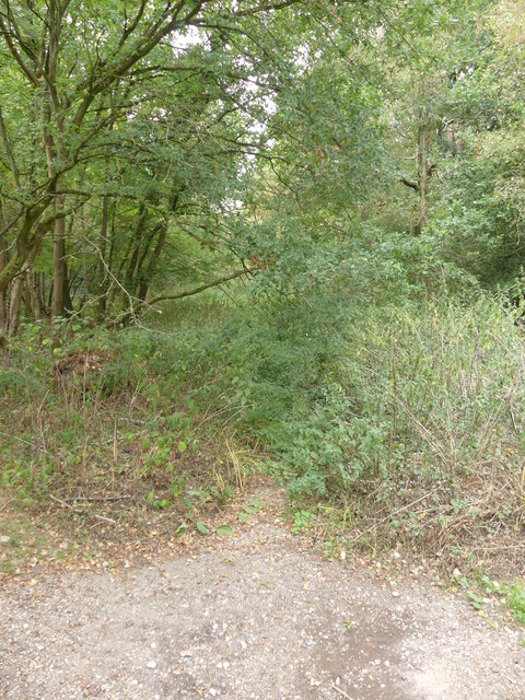
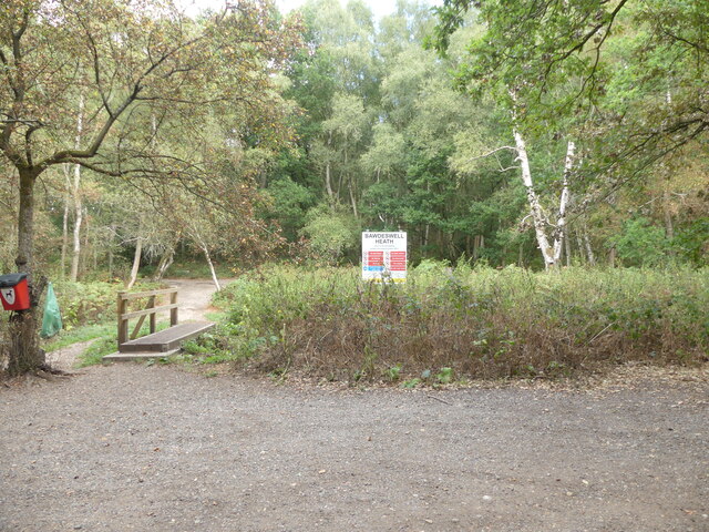
The woodland is known for its peaceful ambiance and natural beauty, attracting nature enthusiasts and walkers alike. There are several well-maintained paths that wind through the covert, allowing visitors to explore its hidden treasures. These paths offer stunning views of the surrounding countryside and provide an opportunity to observe the local wildlife, such as deer, squirrels, and various bird species.
Billingford Covert is also home to a variety of plant species, including bluebells, wild garlic, and wood anemones, which create a vibrant display of colors during the spring months. The woodland floor is covered in a thick carpet of moss and ferns, adding to its enchanting appeal.
The covert is carefully managed by local conservation organizations to ensure the preservation of its natural ecosystem. This includes regular maintenance of the paths, the removal of invasive species, and the implementation of sustainable forestry practices.
Billingford Covert offers a peaceful retreat from the bustling city life, providing an opportunity to reconnect with nature and enjoy the tranquility of the Norfolk countryside. Whether it's a leisurely stroll or a picnic amidst the trees, this woodland is a true hidden gem for those seeking solace in nature.
If you have any feedback on the listing, please let us know in the comments section below.
Billingford Covert Images
Images are sourced within 2km of 52.735438/0.99307981 or Grid Reference TG0219. Thanks to Geograph Open Source API. All images are credited.
Billingford Covert is located at Grid Ref: TG0219 (Lat: 52.735438, Lng: 0.99307981)
Administrative County: Norfolk
District: Breckland
Police Authority: Norfolk
What 3 Words
///washroom.carry.liability. Near North Elmham, Norfolk
Nearby Locations
Related Wikis

Billingford, Breckland
Billingford is a village and civil parish in the Breckland district of Norfolk, England, about 3+1⁄2 miles (5.6 km) north of East Dereham. The village...

Beck Hall
Beck Hall, Bec Hall or Bek Hall is a grade II listed 18th-century farmhouse in Billingford, Breckland, Norfolk, England. It is believed to be on the site...

Bylaugh
Bylaugh is a civil parish in Norfolk, England 4.5 miles (7.2 km) north-east of East Dereham and 13.5 miles (21.7 km) WNW of Norwich. For the purposes...

B1145 road
The B1145 runs for about 52 miles (84 km) through the county of Norfolk, England, between King’s Lynn and Mundesley. The road is an alternative route to...
Bylaugh Hall
Bylaugh Hall, also known as Bylaugh Park, is a country house situated in the parish of Bylaugh in Norfolk, England. == History == The estate was acquired...

Robertson Barracks, Norfolk
Robertson Barracks is a military installation near Swanton Morley in Norfolk. It is home to 1st The Queen's Dragoon Guards. It is set to close in 2029...
RAF Swanton Morley
Royal Air Force Swanton Morley or more simply RAF Swanton Morley, is a former Royal Air Force station in Norfolk, England, located near to the village...

Worthing, Norfolk
Worthing is a small village and former civil parish, now in the parish of Hoe and Worthing, in the Breckland district, in the county of Norfolk, England...
Nearby Amenities
Located within 500m of 52.735438,0.99307981Have you been to Billingford Covert?
Leave your review of Billingford Covert below (or comments, questions and feedback).