Donyland Heath

Wood, Forest in Essex Colchester

England

Donyland Heath

Wivenhoe, St Mary the Virgin
Wivenhoe, St Mary the Virgin Credit: Dave Kelly

Donyland Heath is a picturesque woodland and heathland area located in Essex, England. Situated in the northern part of the county, it covers an expansive area of approximately 300 hectares. The heath lies within the borough of Colchester, near the village of Mile End.

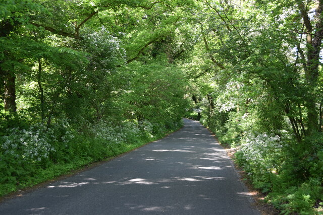
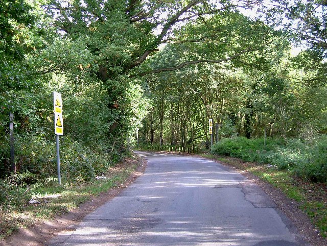
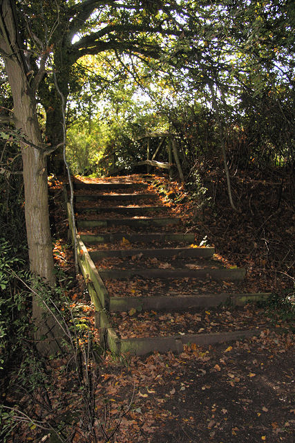
The landscape of Donyland Heath is characterized by a diverse mix of habitats, including woodlands, open heathland, and wetlands. The woodlands are predominantly composed of oak and birch trees, creating a rich and dense canopy that provides a home to a variety of bird species, such as woodpeckers and nightingales. The forest floor is adorned with an array of wildflowers during the spring and summer months.

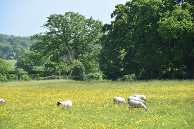
The open heathland areas are dominated by heather, gorse, and grasses, which create a stunning tapestry of color throughout the year. This habitat is crucial for several rare and endangered species, including the silver-studded blue butterfly and the Dartford warbler. The wetlands found within the heathland are home to a diverse range of aquatic plants, as well as amphibians and dragonflies.

Donyland Heath is a designated Site of Special Scientific Interest (SSSI) due to its exceptional ecological value. It is managed by local conservation organizations in collaboration with Natural England, aiming to preserve and enhance its biodiversity. The heathland is accessible to the public, offering a network of footpaths and trails that allow visitors to explore its natural beauty while enjoying recreational activities such as walking, birdwatching, and photography.

Overall, Donyland Heath is a stunning natural area that offers a tranquil escape from the surrounding urban environment, providing a haven for wildlife and a peaceful retreat for visitors.

If you have any feedback on the listing, please let us know in the comments section below.

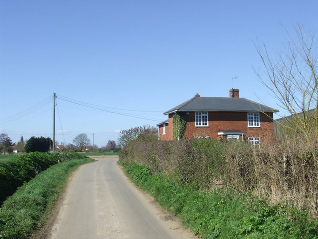
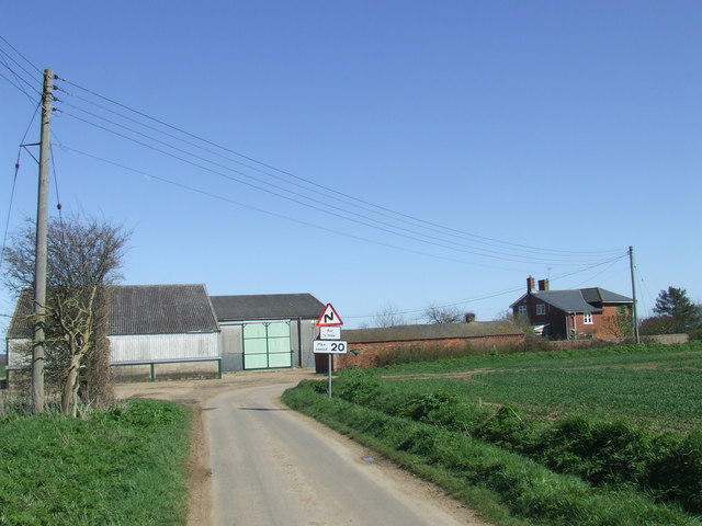
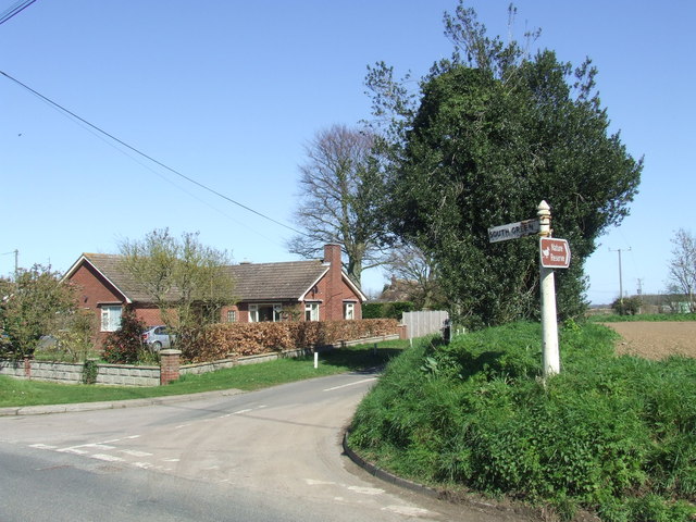
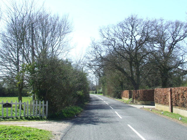
Donyland Heath Images

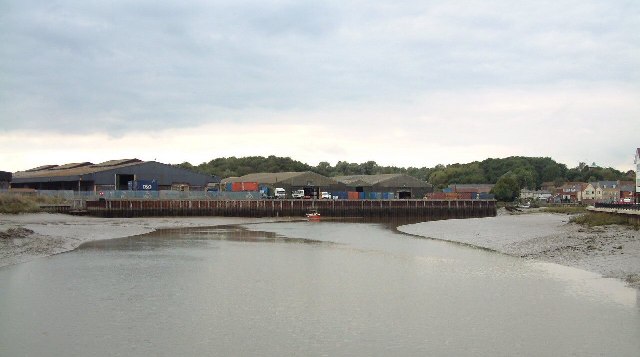
Images are sourced within 2km of 51.853312/0.93051105 or Grid Reference TM0121. Thanks to Geograph Open Source API. All images are credited.

Wivenhoe, St Mary the Virgin
Haye Lane, Abberton A lane north of the village of Abberton.
Haye Lane, Abberton
A lane north of the village of Abberton.
Sheep and buttercups Sheep grazing in a field by Haye Lane.
Sheep and buttercups
Sheep grazing in a field by Haye Lane.
Furneaux Lane near Fingringhoe Furneaux Lane passes through a sand and gravel pit.  Looking at the map, it appears that the road has recently been rerouted.  This image shows a new section of the road.
Furneaux Lane near Fingringhoe
Furneaux Lane passes through a sand and gravel pit. Looking at the map, it appears that the road has recently been rerouted. This image shows a new section of the road.
South Green Road near Fingringhoe, Essex South Green Road is a lane on a rural part of Essex.  Here it passes a farmhouse.
South Green Road near Fingringhoe, Essex
South Green Road is a lane on a rural part of Essex. Here it passes a farmhouse.
Plane Hall Farm near Fingringhoe, Essex Plane Hall Farm is in a rural part of Essex.
Plane Hall Farm near Fingringhoe, Essex
Plane Hall Farm is in a rural part of Essex.
South Green Road, near Fingringhoe
Abberton Road near Abberton, Essex
Rowhedge Quay The quay on the River Colne is no longer in use. The photo was taken from Wivenhoe, on the opposite bank.
Rowhedge Quay
The quay on the River Colne is no longer in use. The photo was taken from Wivenhoe, on the opposite bank.
Rose Cottages Located in Blackheath Colchester, 80 & 82 Blackheath, the middle two houses were the original Rose Cottage built in 1882 as farm labourers cottages. All mod cons included a brick built outside bake/wash house and earth closet. There was a slate roofed wooden stable block at the rear of the property. Not much more than 100 years later the outbuildings were demolished and the semi-detached house was turned into a terrace with flying freehold’s to allow access to a car park at the rear.
Rose Cottages
Located in Blackheath Colchester, 80 & 82 Blackheath, the middle two houses were the original Rose Cottage built in 1882 as farm labourers cottages. All mod cons included a brick built outside bake/wash house and earth closet. There was a slate roofed wooden stable block at the rear of the property. Not much more than 100 years later the outbuildings were demolished and the semi-detached house was turned into a terrace with flying freehold’s to allow access to a car park at the rear.
Flagpole by Manwood Bridge The flagpole flies a red flag when the middlewick range <a href="https://www.geograph.org.uk/gridref/TM0022">TM0022</a> is in use. Enter the woods at your peril. Manwood bridge carries the B1025  over Roman River.
Flagpole by Manwood Bridge
The flagpole flies a red flag when the middlewick range TM0022 is in use. Enter the woods at your peril. Manwood bridge carries the B1025 over Roman River.
Mill on Roman River The mill has been recently restored
Mill on Roman River
The mill has been recently restored
The Whalebone & St Andrews Yet another excellent chance to get some good beer & grub after church! It is now thought the bone that was dug up in the 19th century that gave the pub its name was in fact a woolly mammoth bone. The bone on the pub sign is relatively modern.
The Whalebone & St Andrews
Yet another excellent chance to get some good beer & grub after church! It is now thought the bone that was dug up in the 19th century that gave the pub its name was in fact a woolly mammoth bone. The bone on the pub sign is relatively modern.
Ball farm Bridleway This is a Bridleway across Ball Farm. The metalled road surface is provided courtesy of the Army. The photo was taken looking west. The other end of the path can be seen at <a href="https://www.geograph.org.uk/gridref/TL9920">TL9920</a>.
Ball farm Bridleway
This is a Bridleway across Ball Farm. The metalled road surface is provided courtesy of the Army. The photo was taken looking west. The other end of the path can be seen at TL9920.
Weir Lane Weir Lane runs from the B1025 Near Blackheath Colchester to Donnyland Heath near Rowhedge. The lane passes through the danger area of the Middlewick Rifle Range <a href="https://www.geograph.org.uk/gridref/TM0022">TM0022</a>. When the range is in use the road is closed with gates at each end. The yellow signs beside the footpath fingerposts warn of the fatal consequences of interfering with any military debris you may find on the army’s grounds. The picture was taken looking towards Rowhedge.
Weir Lane
Weir Lane runs from the B1025 Near Blackheath Colchester to Donnyland Heath near Rowhedge. The lane passes through the danger area of the Middlewick Rifle Range TM0022. When the range is in use the road is closed with gates at each end. The yellow signs beside the footpath fingerposts warn of the fatal consequences of interfering with any military debris you may find on the army’s grounds. The picture was taken looking towards Rowhedge.
Not the Ipswich Arms This is a picture of the junction of the Fingeringhoe Rd (left to right) with Weir lane (photographers position) and Rectory Road Rowhedge (in front). The building was originally a Daniels Brewery Ale House, “The Ipswich Arms” this became a Truman pub. After a long period of closure the real ale revival of the early eighties enabled it to re-open as a Free House renamed the "Walnut Tree". However this too eventually closed due to the almost total lack of local trade within walking distance, it is now a private house. The Village sign is for East Donyland District.
Not the Ipswich Arms
This is a picture of the junction of the Fingeringhoe Rd (left to right) with Weir lane (photographers position) and Rectory Road Rowhedge (in front). The building was originally a Daniels Brewery Ale House, “The Ipswich Arms” this became a Truman pub. After a long period of closure the real ale revival of the early eighties enabled it to re-open as a Free House renamed the "Walnut Tree". However this too eventually closed due to the almost total lack of local trade within walking distance, it is now a private house. The Village sign is for East Donyland District.
Tin Tabernacle in Old Heath This corrugated iron chapel in Old Heath Colchester is a Congregational Church dating from 1869
Tin Tabernacle in Old Heath
This corrugated iron chapel in Old Heath Colchester is a Congregational Church dating from 1869
The Edge of Rowhedge This is the point on Rowhedge Rd where Old Heath becomes Rowhedge. The photo was taken looking towards the South-East.
The Edge of Rowhedge
This is the point on Rowhedge Rd where Old Heath becomes Rowhedge. The photo was taken looking towards the South-East.
Show me another place!

Donyland Heath is located at Grid Ref: TM0121 (Lat: 51.853312, Lng: 0.93051105)

Administrative County: Essex

District: Colchester

Police Authority: Essex

What 3 Words

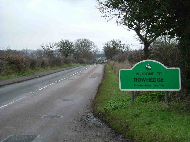
///asleep.thus.yarn. Near Rowhedge, Essex

Nearby Locations

Donyland Heath

Related Wikis

Donyland Lodge

Donyland Lodge was an independent school in Rowhedge, Colchester in the United Kingdom The school catered for children with complex behavioural, social...
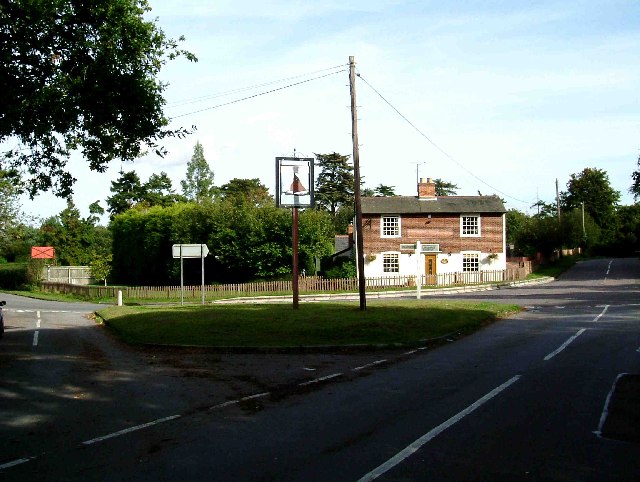
Rowhedge

Rowhedge is a village in the Colchester borough of Essex, England. It is located just over 3 miles (4.8 km) south-east of Colchester town centre and is...

East Donyland

East Donyland is a civil parish in the City of Colchester district of Essex, England. The civil parish includes the village of Rowhedge. The parish touches...

Rowhedge Ironworks

Rowhedge Ironworks was a shipyard situated on the River Colne, and in the village of Rowhedge, in the English county of Essex. It existed from 1904 to...

Nearby Amenities

Located within 500m of 51.853312,0.93051105
Generator Method: photovoltaic
Generator Output Electricity: yes
Generator Source: solar
Generator Type: solar_photovoltaic_panel
Location: roof
Power: generator
Lat/Long: 51.8550513/0.9370136
Generator Method: photovoltaic
Generator Output Electricity: yes
Generator Source: solar
Generator Type: solar_photovoltaic_panel
Location: roof
Power: generator
Lat/Long: 51.8550289/0.9370592
The data included in this document is from www.openstreetmap.org. The data is made available under ODbL.

Have you been to Donyland Heath?

Leave your review of Donyland Heath below (or comments, questions and feedback).